Road Trips Arizona New Mexico Texas California
I-10 vs I-40 in Winter: Which Cross-Country Route Should You Drive?
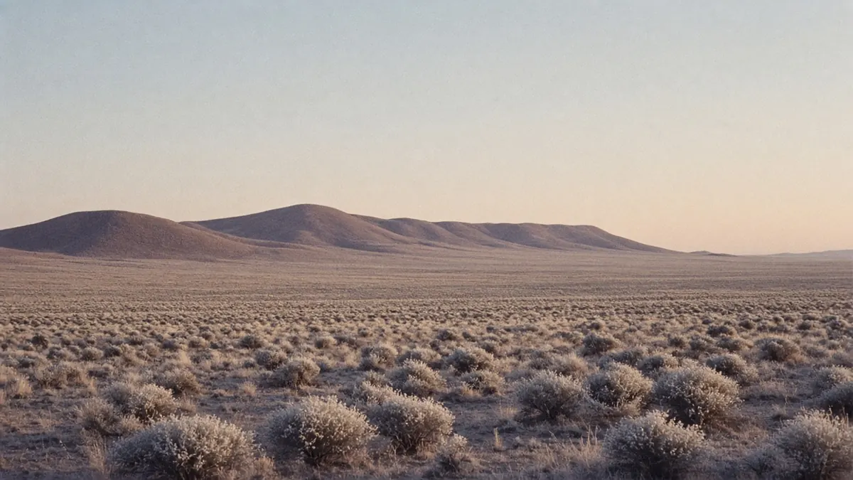
Every winter the same question comes up for anyone crossing the southern half of the country: do you take I-40 through Flagstaff and Albuquerque, or drop down to I-10 through Tucson and El Paso? That’s the I-10 vs I-40 winter decision, and it’s easier than it looks.
The answer mostly comes down to one number. I-40 climbs to about 7,335 feet just west of Flagstaff. I-10 tops out right around 5,000. That gap decides where the snow falls, where the ice lingers the morning after a storm, and which road is more likely to close while you’re on it.
Here’s how I’d make the call, laid out side by side.
I-10 vs I-40 in winter: the short answer
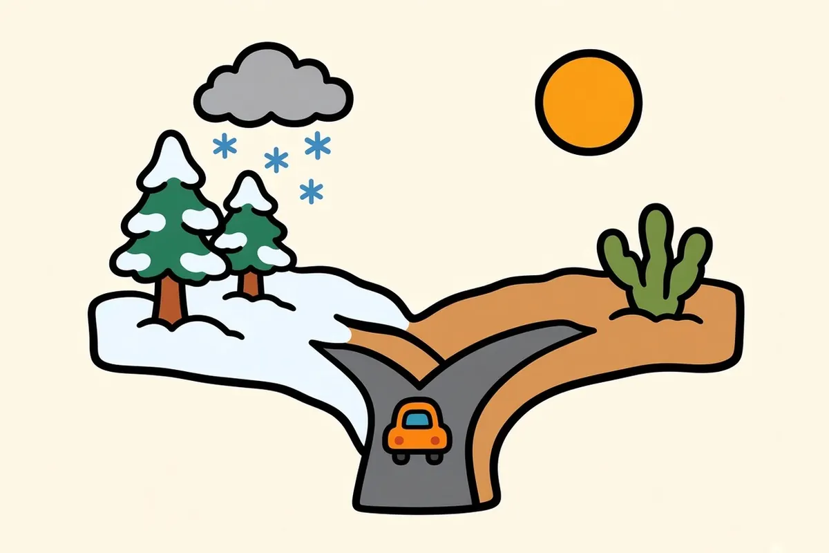
I-10 is usually the lower-risk winter choice. It stays in desert basins most of the way, and its winter problems are wind, blowing dust and long empty stretches, not snowpack.
I-40 is a perfectly good drive in a clear weather window, and from Los Angeles toward Tennessee it saves real miles. But it runs through high country in northern Arizona and western New Mexico, where one storm can shut the interstate for hours.
Take I-10 if your dates are fixed, you’re towing, or you’d rather not drive on snow. Take I-40 if it’s meaningfully shorter for your trip, your schedule has slack, and you’re willing to sit out a storm in Kingman or Albuquerque.
| I-10 (southern route) | I-40 (central route) | |
|---|---|---|
| Highest point | About 5,000 ft at Texas Summit, by the Texas Canyon Rest Area (milepost 320), AZ | About 7,335 ft at the Arizona Divide, just west of Flagstaff, AZ |
| Typical winter trouble spots | Texas Canyon and Willcox in a cold storm; blowing dust near Lordsburg, NM; long service gaps in West Texas | Williams and Flagstaff; western New Mexico; the Texas Panhandle |
| Where to check conditions | AZ 511, NM Roads, DriveTexas, Caltrans QuickMap | AZ 511, NM Roads, DriveTexas, Caltrans QuickMap |
Why elevation is the whole story
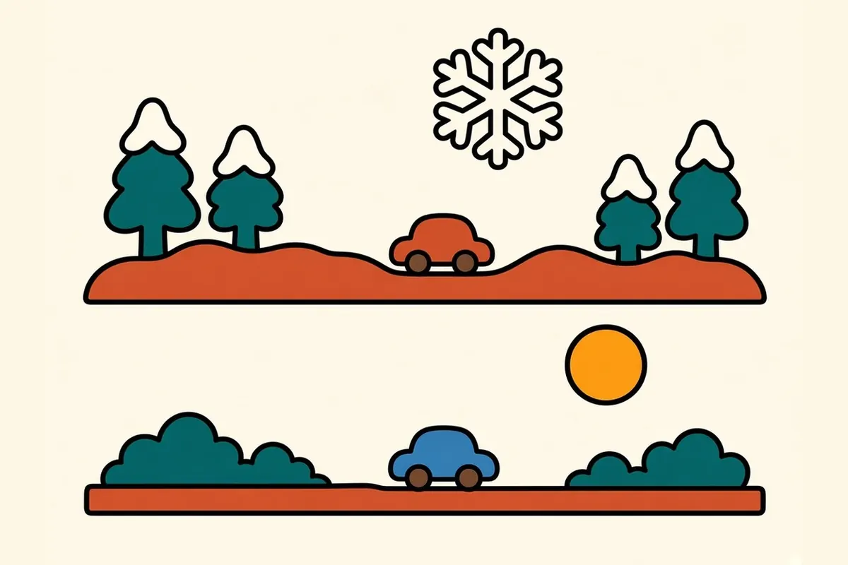
Drive I-10 east from Phoenix in January and most of what you see is low desert: saguaros around Tucson, then the granite boulders of Texas Canyon, then the wide grassland of the Sulphur Springs Valley around Willcox. The road’s highest point, Texas Summit, is right around 5,000 feet, near milepost 320 by the Texas Canyon Rest Area, about 20 miles west of Willcox. In New Mexico, I-10 crosses the Continental Divide west of Deming on ground so flat you’d miss it without the sign.
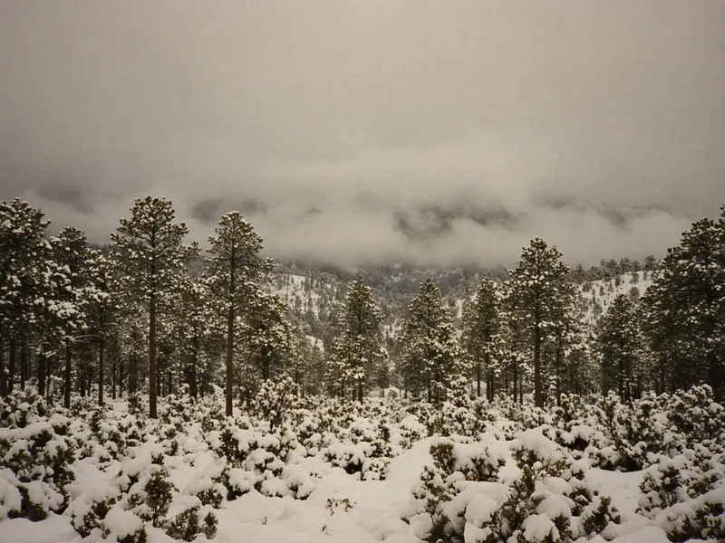
I-40 is a mountain road by comparison. West of Flagstaff it climbs out of the high desert into ponderosa pine and tops out at the Arizona Divide, around 7,335 feet. It stays high through Flagstaff and across western New Mexico, crossing the Continental Divide east of Gallup.
That matters in a few concrete ways:
- The snow line. A Pacific storm that brings cold rain to Phoenix can bury Flagstaff.
- The morning after. Even once the plows have been through, shaded curves and bridge decks can refreeze overnight. The first hours after sunrise are often the slickest.
- Closures instead of slowdowns. When conditions get bad enough, the state closes the interstate and turns traffic around.
I-40 in winter: where it goes wrong

Flagstaff and northern Arizona
This is the stretch that worries people, and it should get your attention. Between Williams and Flagstaff the interstate runs through forest at around 7,000 feet, and storms hit it hard.
Closures here aren’t rare. 2026 had more than one. In February, ADOT closed I-40 eastbound at the US 93 junction and westbound near Flagstaff after snow and ice, and sent traffic south on US 93 until both closures lifted at about 11:30 a.m.
New Mexico and the Texas Panhandle
From Gallup to Albuquerque, I-40 crosses high, open country with long views and very little shelter from wind. East of Albuquerque the road climbs out of the Rio Grande valley before easing down across the plains toward Santa Rosa and Tucumcari.
The Texas Panhandle around Amarillo is lower, but it’s flat, open and windy, which means snow blows and drifts instead of sitting still. Check DriveTexas before you commit to the Amarillo leg.
How long closures usually last
There’s no official average, so I won’t pretend there is one. What’s clear is that winter closures on I-40 can last hours, and they can come with little notice when a storm arrives faster than forecast.
Before and during the drive, keep these open:
- AZ 511, or dial 511 in Arizona
- NM Roads for New Mexico
- DriveTexas for the Panhandle
- National Weather Service forecasts for Flagstaff, Albuquerque and Amarillo, especially any winter storm watch or warning
I-10 in winter: not risk-free
Southern Arizona and New Mexico high points
Texas Canyon is the one stretch of I-10 in Arizona that behaves like a mountain pass. The road threads between piles of rounded boulders on the climb from Benson toward Willcox. It’s low compared with Flagstaff, but a cold storm can still leave it wet and icy, so give it the same respect you’d give any pass in winter.
East of Willcox the landscape flattens into valleys and dry lakebeds all the way to the New Mexico line.
Dust storms and wind
This is I-10’s real hazard, and it isn’t limited to monsoon season. The worst spot is the Lordsburg Playa, a dry lakebed in southwestern New Mexico between mile markers 5 and 13. NMDOT counts 23 deaths and 45 closures of I-10 from dust there since 2012. When it closes, traffic is detoured onto US 70.
On a windy day you can see it coming: a brown wall across the valley, or a sky that goes tan at the horizon. ADOT’s rule is “Pull Aside, Stay Alive”:
- Don’t drive into a dust storm. Exit if you can.
- If you can’t, slow down and pull as far off the pavement as you can. Don’t stop in a travel lane or the emergency lane.
- Turn off every light, including flashers, set the parking brake and take your foot off the brake pedal.
- Keep your seatbelt on and wait it out.
The long empty stretch of West Texas
Past El Paso, I-10 turns into one of the emptiest interstate drives in the country. You get creosote flats and distant mesas, and towns spaced like fuel stops. Approximate town-to-town distances: El Paso to Van Horn is about 120 miles, Van Horn to Fort Stockton about 120, Fort Stockton to Ozona about 105, and Ozona to Junction about 90.
Treat every one of those towns as a fuel stop and top off even at half a tank. You’ll also want water, snacks and a warm layer in the car, because desert nights in winter get properly cold.
Daylight
Winter days are short, even in the desert. On December 21, 2026, El Paso gets sunrise at 7:01 a.m. and sunset at 5:06 p.m., about 10 hours of daylight. Tucson gets about the same. Flagstaff, on the I-40 side, gets about 9 hours 47 minutes.
Plan driving days around roughly 10 hours of usable light. On I-40, I’d want to be through the high country well before sunset, because that’s when the wet pavement starts to freeze again.
Distance and time trade-off
Here’s how the two routes compare on three common trips. Distances are rounded, and drive times are a range without stops, so run your own trip in a mapping app before you leave.
| Trip | Via I-40 | Via I-10 (and I-20 east of West Texas) | Shorter route |
|---|---|---|---|
| Los Angeles to Nashville | About 2,010 mi, 30 to 35 hrs | About 2,110 mi, 32 to 37 hrs (rejoining I-40 at Little Rock) | I-40, by about 100 miles |
| Phoenix to Dallas | About 1,120 mi, 17 to 20 hrs (I-17, I-40, US 287) | About 1,070 mi, 16 to 18 hrs | I-10, by about 50 miles |
| San Diego to Atlanta | About 2,210 mi, 33 to 39 hrs | About 2,145 mi, 32 to 38 hrs (I-8, I-10, I-20) | I-10, by about 65 miles |
Most people expect I-40 to win everywhere. It doesn’t. From Phoenix or San Diego heading toward Texas or the Southeast, the southern route is already shorter. I-40 clearly wins only when you start in Los Angeles or Las Vegas and you’re headed for Tennessee, the Carolinas or the Midwest.
Which route for your trip

| Your situation | My pick | Why |
|---|---|---|
| Leaving LA or Phoenix for the Southeast | I-10 | Shorter or close, and far lower |
| Leaving Las Vegas | I-40 in a clear window; US 93 south to Phoenix and I-10 if a storm is coming | Vegas sits between the two |
| Heading to Tennessee or the Midwest | I-40 if the forecast is clean; otherwise I-10 and cut north later | I-40 saves real miles |
| Driving an EV | Either, after mapping chargers with the DOE station locator | Cold weather cuts range, and West Texas has long gaps |
| Towing or driving an RV | I-10 | Snow, ice and crosswinds are harder with a trailer |
| Want national parks on the way | Depends on the park (see below) | Saguaro and White Sands on I-10; Petrified Forest on I-40 |
The hybrid: start on I-40, drop south if a storm is coming
If you’re already on I-40 and the forecast turns, the move is to get south before the high country, not in the middle of it:
- US 93 from Kingman toward Wickenburg and Phoenix, then I-10 east. This is the road ADOT used as the detour during the February 2026 closure, and it keeps you well below Flagstaff’s elevation.
- I-25 from Albuquerque south to Las Cruces, then I-10 east, if you’re already past Arizona when the weather changes.
What I’d avoid is using I-17 south from Flagstaff as your escape route. It starts in the same high country, so a storm that closes I-40 there can hit it too. Make the decision in Kingman, not Flagstaff.
Sights worth a stop on each route in winter

Winter is prime season in the low desert, so I-10 has the edge on stops.
On I-10:
- Saguaro National Park, on both sides of Tucson. Our guide to Saguaro East vs West helps you pick a district, and our Southern Arizona winter road trip builds a few days around it.
- White Sands National Park, reached from Las Cruces on US 70. The gypsum dunes look like snow, minus the chains. Pair it with Carlsbad in White Sands and Carlsbad Caverns in one weekend.
- Big Bend, a long detour south of I-10 that’s worth it in winter. Our El Paso to Big Bend road trip lays it out.
- San Antonio, right on the interstate, for a mild-weather night off the road.
On I-40:
- Petrified Forest National Park, directly off the interstate in eastern Arizona and an easy half-day stop.
- Albuquerque, a natural overnight with plenty of rooms and green chile.
- Route 66 towns like Williams and Seligman. Just know the Flagstaff side can be snowy.
For more winter park ideas, see our roundup of the best national parks to visit in winter.
Winter driving prep for either route

The full list lives in our winter road trip packing and safety checklist. The short version:
- Check 511 and the NWS forecast the night before and again in the morning.
- Keep the tank above half in the high country and across West Texas.
- Pack water, food, a blanket, a phone charger and a flashlight.
- Know your bail-out town before each high stretch: Kingman, Albuquerque, Amarillo.
- If you’re taking I-40, build a spare day into the schedule.
For the bigger picture on which routes stay open, see Winter & Spring Road Trips in the US: Routes That Stay Open.
FAQ
Is I-40 safe to drive in winter?
Usually, yes, in a clear weather window. The risk is concentrated around Flagstaff and western New Mexico, where storms can close the interstate for hours. Check AZ 511 and NM Roads before you go and be ready to wait a storm out.
Does I-10 get snow?
Occasionally, mostly around Texas Canyon in southeastern Arizona, where it tops out around 5,000 feet. It sees far less snow than I-40. Blowing dust near Lordsburg, New Mexico is a bigger closure risk on I-10.
What is the highest point on I-40?
The Arizona Divide, at about 7,335 feet, just west of Flagstaff.
Is the southern route better for a cross-country road trip in winter?
For most people, yes. It’s lower, so it sees less snow and ice. And from Phoenix or San Diego to Texas or the Southeast, it’s also shorter. The trade-offs are wind, dust and long empty stretches in West Texas.
How often does I-40 close near Flagstaff?
There’s no official count. Closures come with winter storms, including one in February 2026 that shut both directions for part of a morning. Check AZ 511 before you drive.
Which is faster, I-10 or I-40, from California to the East Coast?
It depends on your exact start and finish. From Los Angeles to Nashville, I-40 is about 100 miles shorter. From San Diego to Atlanta, I-10 with I-20 is about 65 miles shorter. Run your own pair in a mapping app before you choose.
Elevations, distances and daylight times checked November 16, 2026. Road conditions change by the hour, so check the live 511 sites before you drive.