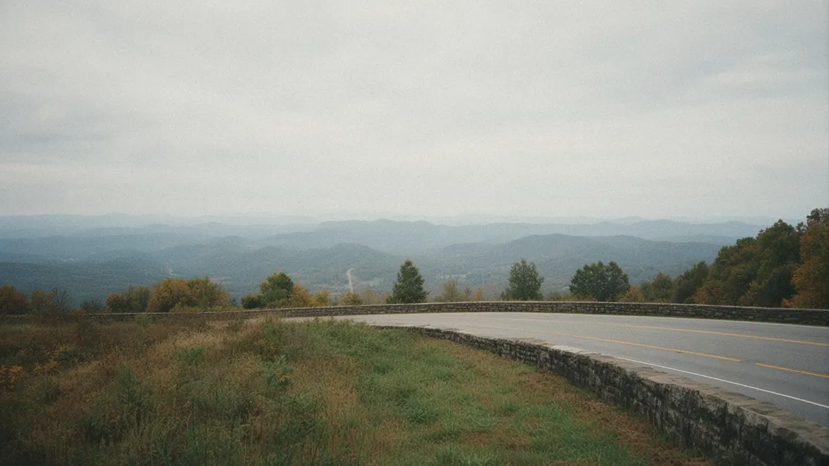
Knoxville Shenandoah National Park
Blue Ridge and Smokies
Cove forests to granite overlooks, with the mountains close on both sides from the Smokies to Skyline Drive.
The guides on this route call it the Blue Ridge and Smokies route, from Knoxville to Shenandoah National Park. In the order they number, the stops are Knoxville, Great Smoky Mountains National Park, Asheville, Boone, Roanoke, Charlottesville, and Shenandoah National Park. The same list can be read from either end.
Each guide gives the distance and time for its own next stop.
-
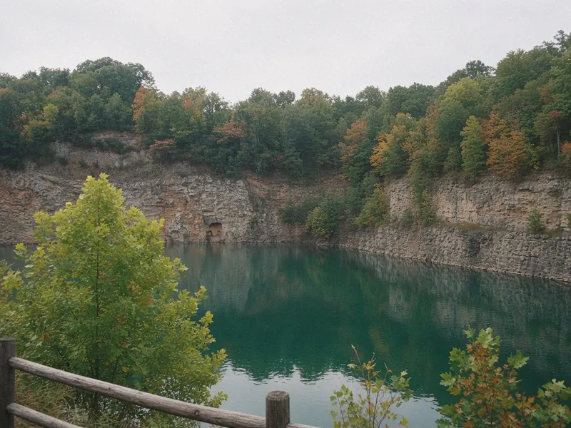 01 Knoxville
Knoxville is a river city whose wilder country starts much closer than its skyline suggests. This guide works through the best things to do in Knoxville on a road trip from the Tennessee River outward: the waterfront, the downtown squares, the World's Fair grounds and the wooded trail network across the water. It also covers how to get there and the drive of under an hour to the Great Smoky Mountains.
-
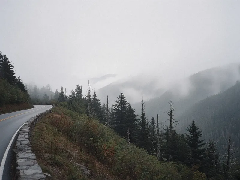 02 Great Smoky Mountains National Park
A Great Smoky Mountains road trip can cross from the Tennessee coves over Newfound Gap into North Carolina in one drive, or settle in and go deeper on one side. This guide runs from cove to gap to the far side, with the side trips that make the through road worth slowing down for. Entry is free, but you need a parking tag to park longer than 15 minutes, America the Beautiful passes don't cover it, and Kuwohi Road is open only part of the year.
-
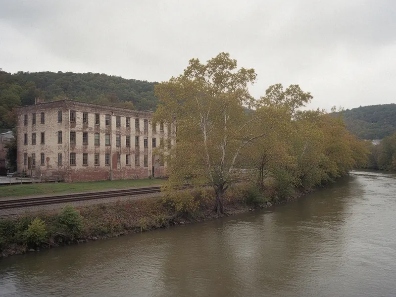 03 Asheville
An Asheville road trip puts you in a city set in a mountain basin, where downtown can sit in one kind of weather while the Blue Ridge Parkway above it sits in another. This guide sorts the best things to do in Asheville on a road trip by elevation: the streets, the river and the ridge at the edge of town. Some Parkway sections and some of the city's Helene recovery work are still current, so check the live official pages before you go.
-
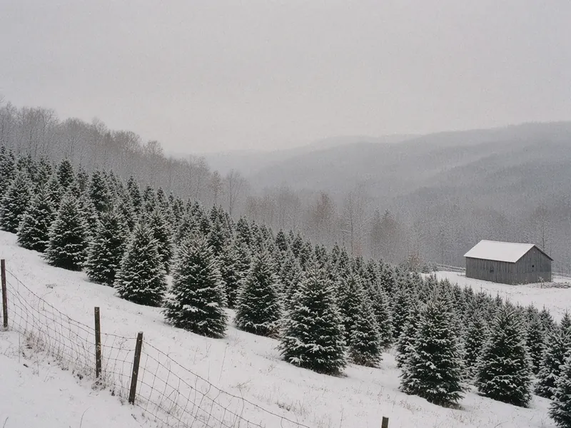 04 Boone
Boone sits up in the North Carolina High Country, a college town built on the crest instead of down in a valley, with Blowing Rock and the Blue Ridge Parkway only a few miles off. This guide to things to do in Boone, NC on a road trip starts in town, moves to a neighboring village and then climbs to the crest road. Summer and fall are the Parkway seasons when the road is open, while winter belongs to the town, because the Parkway often gates in bad weather.
-
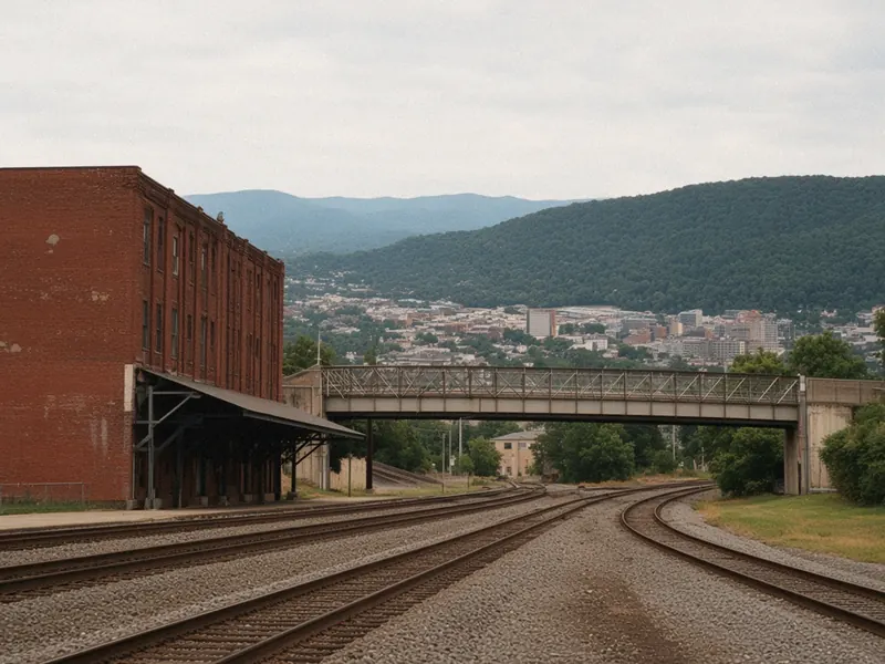 05 Roanoke
Roanoke is a valley city in Virginia's Blue Ridge, with a walkable downtown below a lighted star on Mill Mountain and the Blue Ridge Parkway running along the edge of town. This guide to things to do in Roanoke, VA on a road trip climbs in three steps, from the valley floor to the star and then to the Parkway. Getting in is easy, with an airport a few miles from downtown, I-81 along the valley and Amtrak trains at a station downtown.
-
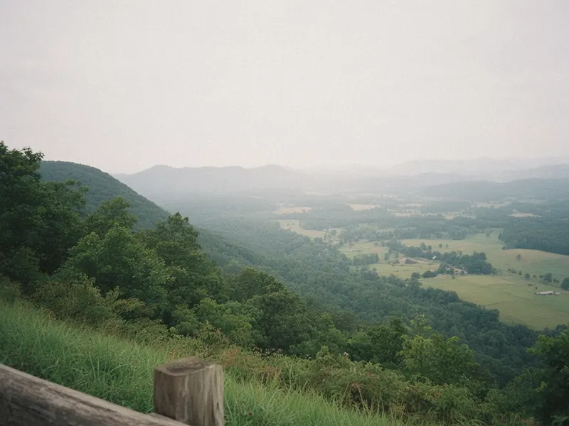 06 Charlottesville
Charlottesville is a walkable Piedmont city with a brick pedestrian mall, a historic university at its center and the Blue Ridge lined up along its western skyline. This guide to things to do in Charlottesville on a road trip moves from the mall to the university and the neighborhoods, then points you toward the park. Rockfish Gap, the south entrance to Shenandoah National Park and Mile 0 of the Blue Ridge Parkway, is about 24 miles west, and the full park guide is on the Shenandoah National Park page.
-
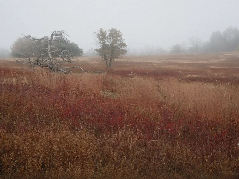 07 Shenandoah National Park
A Shenandoah National Park road trip follows Skyline Drive, a 105-mile road along the crest of the Blue Ridge and the only public road through the park, with hollows dropping away on both sides. This guide runs along the crest through the park's south, middle and north, with the entrances, the side hikes and the towns below. The Drive is generally open year-round but can close in storms, and most park facilities shut down by late November.