Summary
An Asheville road trip puts you in a city set in a mountain basin, where downtown can sit in one kind of weather while the Blue Ridge Parkway above it sits in another. This guide sorts the best things to do in Asheville on a road trip by elevation: the streets, the river and the ridge at the edge of town. Some Parkway sections and some of the city's Helene recovery work are still current, so check the live official pages before you go.

The forecast downtown is not the forecast on the Parkway.
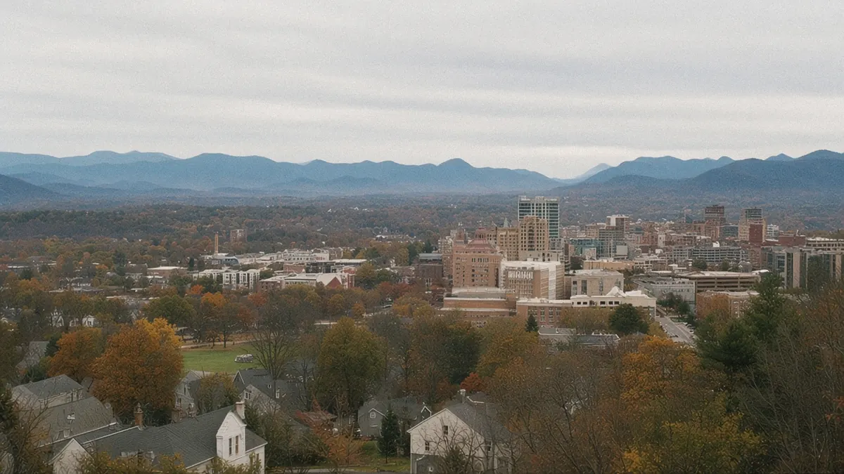
You step out onto a downtown sidewalk in late morning, and the sun is already warm on the brick. Shop doors stand propped open. Somebody is chalking a menu board, and a street musician is tuning up on the corner. The sky over the rooftops is a clean, easy blue.
Then you look north, past the last rooftops, to the ridge above town. A cloud is sitting on it. Not drifting past, just sitting there, gray and heavy, wrapped around the top like it plans to stay all afternoon.
Down here, it’s a T-shirt kind of day. Up there, a few miles away and a few thousand feet higher, it’s clearly something else.
Which raises the real planning question in this city: why do you need two forecasts before lunch?
Quick plan
- How long
- Give it two nights, or three if you want a full Parkway day.
- Best months
- May, September and October; winter is good for the city, less so for the Parkway.
- Getting in
- AVL is roughly 15 to 17 miles from downtown, with I-40 and I-26 for drivers.
- The Parkway
- No entrance fee. Sections close seasonally and for repairs; check the road-status page before you go.
- The Smokies
- About an hour to the North Carolina entrance; see the park page.
Getting there
By air: Asheville Regional Airport (AVL) is south of town, about 15 to 17 miles from downtown. Route maps change with the seasons, so look up current nonstops from your city.
By road: Asheville sits where two interstates cross. Westbound, I-40 heads toward Knoxville through the Pigeon River Gorge and east toward Statesville and the Piedmont. I-26 runs south toward Greenville and Spartanburg in South Carolina, and north toward Johnson City and I-81. The Blue Ridge Parkway passes along the city’s eastern and southern edges, with access near the Folk Art Center off US-70 and near the Parkway Visitor Center off US-74, by I-40 exit 53.
Drive times (all approximate):
- Knoxville: about 116 miles via I-40, roughly 1 hour 45 minutes to 2 hours 20 minutes, plus any delay where lanes are reduced in the gorge; through the Smokies, about 125 to 127 miles, roughly 2 hours 35 minutes to 3 hours 25 minutes.
- Charlotte: about 124 to 130 miles, roughly 2 hours to 2 hours 35 minutes.
- Greenville, SC: about 63 miles, roughly 1 hour 10 minutes to 1 hour 25 minutes.
- Atlanta: about 207 to 208 miles, roughly 3 hours 20 minutes to 4 hours 10 minutes.
However you arrive, plan to park and let your feet take over downtown.
Things to do in Asheville on a road trip, street, river and ridge
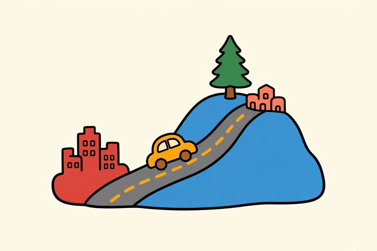
Asheville sits in a basin, and it’s simplest to read by height. Downtown is on a rise in the middle, compact and walkable, with Pack Square at its center. Below it to the west, the French Broad River runs through the River Arts District, with West Asheville climbing the far bank. Above everything, the Blue Ridge Parkway wraps around the city’s eastern edge on the ridges, close enough to reach in a few minutes from downtown.
Ways to split it:
- One day: downtown and Pack Square, then the River Arts District and dinner in West Asheville.
- Two days: add Montford in the morning and the Parkway just outside downtown in the afternoon, if it’s open.
- Three days: add Biltmore or Black Mountain, or a day in the Smokies.
The North Carolina entrance to Great Smoky Mountains National Park is about an hour southwest, and the park page has the details.
Each level of the city is its own trip, and you can do all three in a day.
Asheville, from the brick to the ridge
Downtown and Pack Square
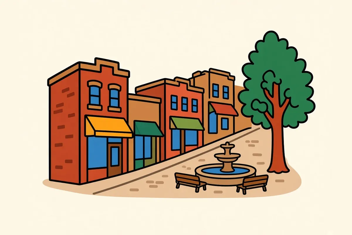
Pack Square is the center of downtown, a long public park and plaza with the city’s government buildings at one end. From there, sloping streets fan out with brick storefronts, galleries, bookshops and cafés. Downtown is hilly, so park once and walk; it’s small enough to cover in a morning and interesting enough to fill a day.
West Asheville
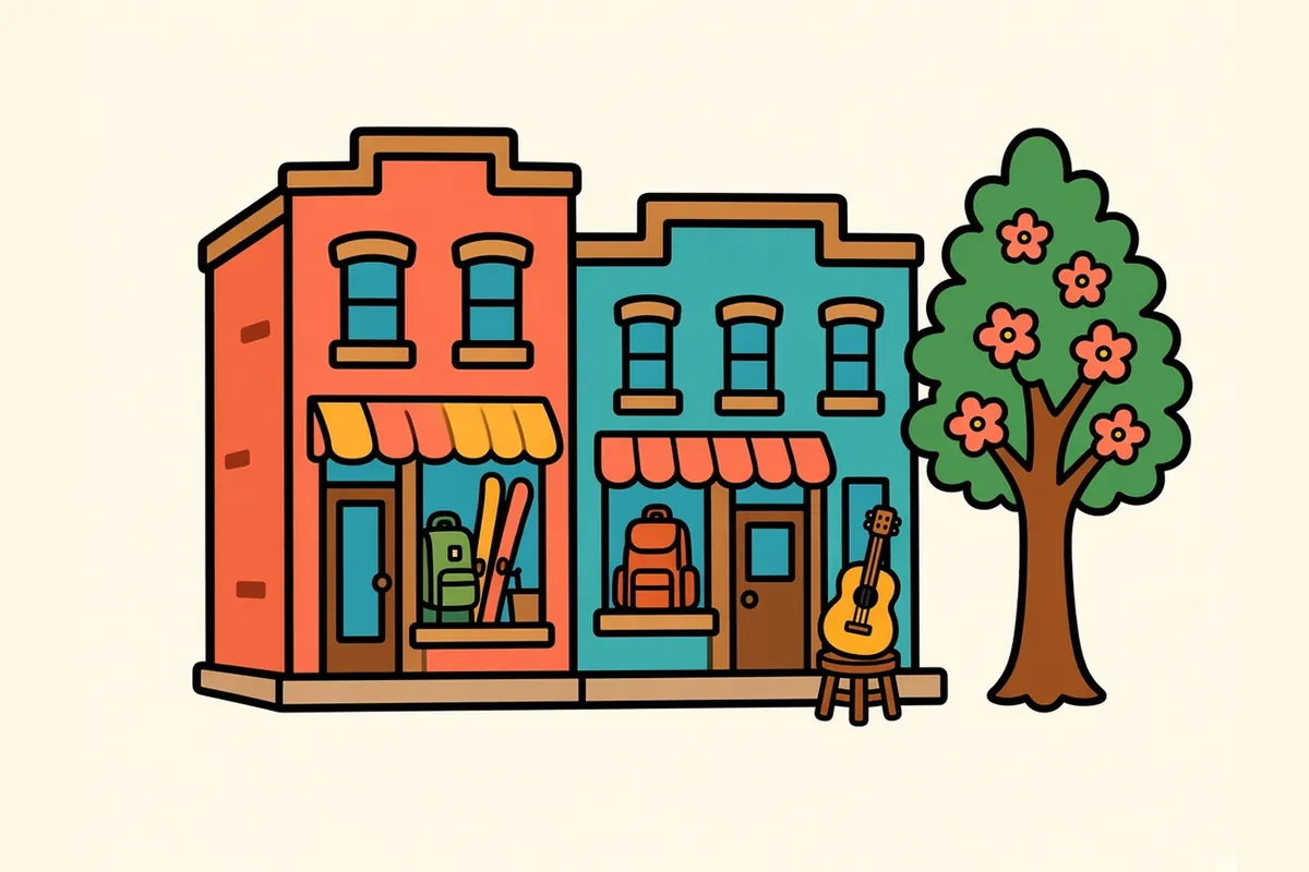
Across the French Broad, West Asheville strings itself along Haywood Road, a long main street of older one- and two-story buildings with cafés, shops, bars and music venues. It’s more neighborhood than showpiece. Come for an evening meal or a slow afternoon, and you’ll see how people here actually spend their time off.
The River Arts District and the French Broad

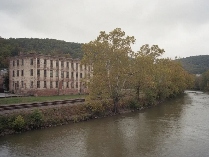
Down by the river, former mills and warehouses hold working artists’ studios. Helene’s flooding hit this area hard, and the district has been rebuilding since. The district’s own site lists studios open to visitors again, while several city-owned riverfront parks beside them are still in recovery, with design and construction work ahead. Check the district’s site for open studios and the city’s recovery pages for the riverfront before you plan a walk along the water.
Montford
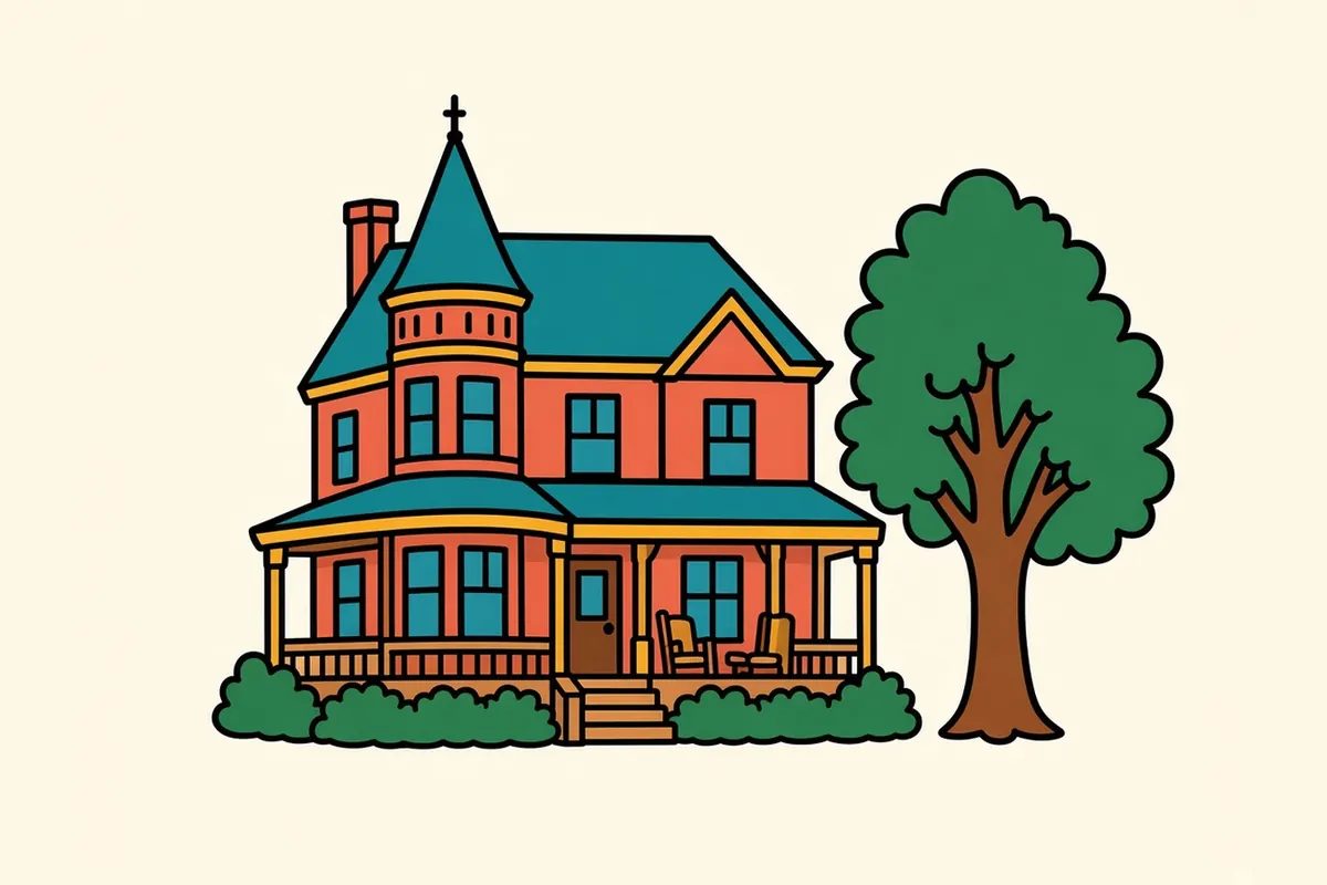
Just north of downtown, Montford is a historic neighborhood of big old houses on quiet, tree-lined streets, many of them with deep front porches. It’s a residential neighborhood rather than a sight, so keep to the sidewalks, but it makes one of the city’s prettiest walks in the morning light.
The Blue Ridge Parkway at the edge of town
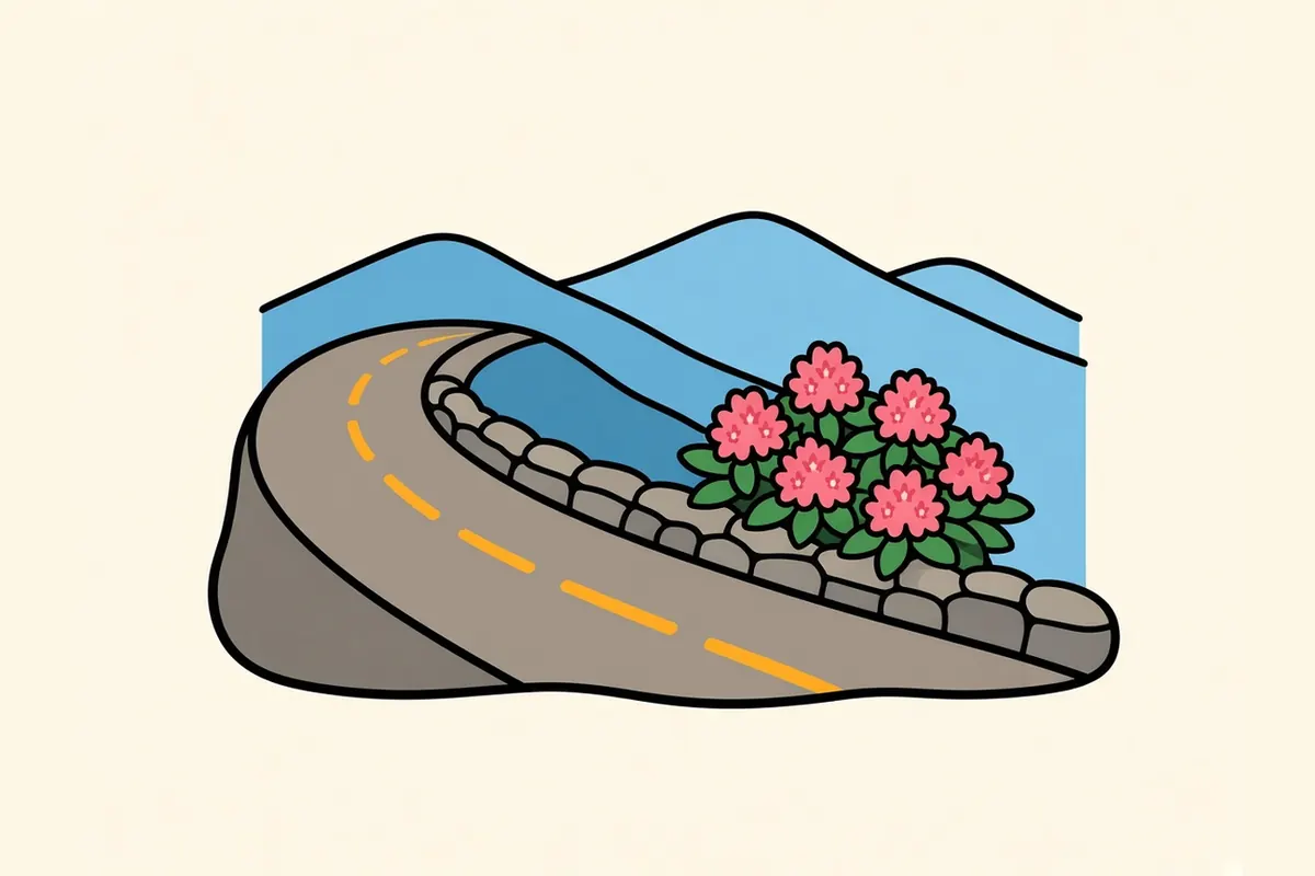
This is the ridge from the opening. The Parkway runs through the city’s edge, and two of its facilities near Asheville, the Folk Art Center and the Blue Ridge Parkway Visitor Center, are the ones the Parkway lists as open year-round, though the visitor center closes on Thanksgiving, Christmas Day and New Year’s Day. From either, you can drive a stretch of the road and pull off at overlooks above the basin. Farther north, Craggy Gardens is a popular high stop. Sections close seasonally and for repairs; check the road-status page the day you go.
Biltmore Village and the estate
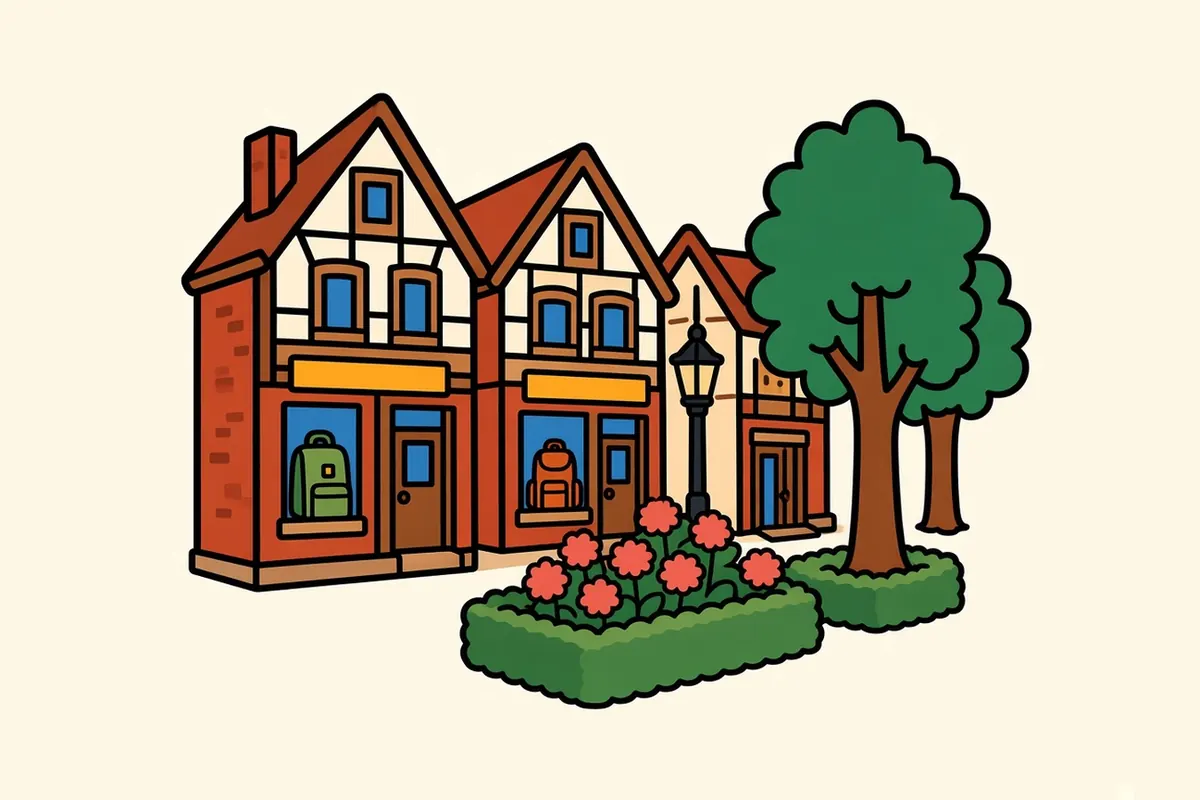
South of downtown, Biltmore Village is a small district of older buildings with shops and restaurants near the estate entrance. The Biltmore Estate is a ticketed historic estate. Its official site says the estate is open every day, with hours that vary, and that a reservation is required every day for all guests entering Biltmore House. Reserve a House entry time when you buy the ticket; arriving without one doesn’t guarantee you’ll get into the House.
Black Mountain
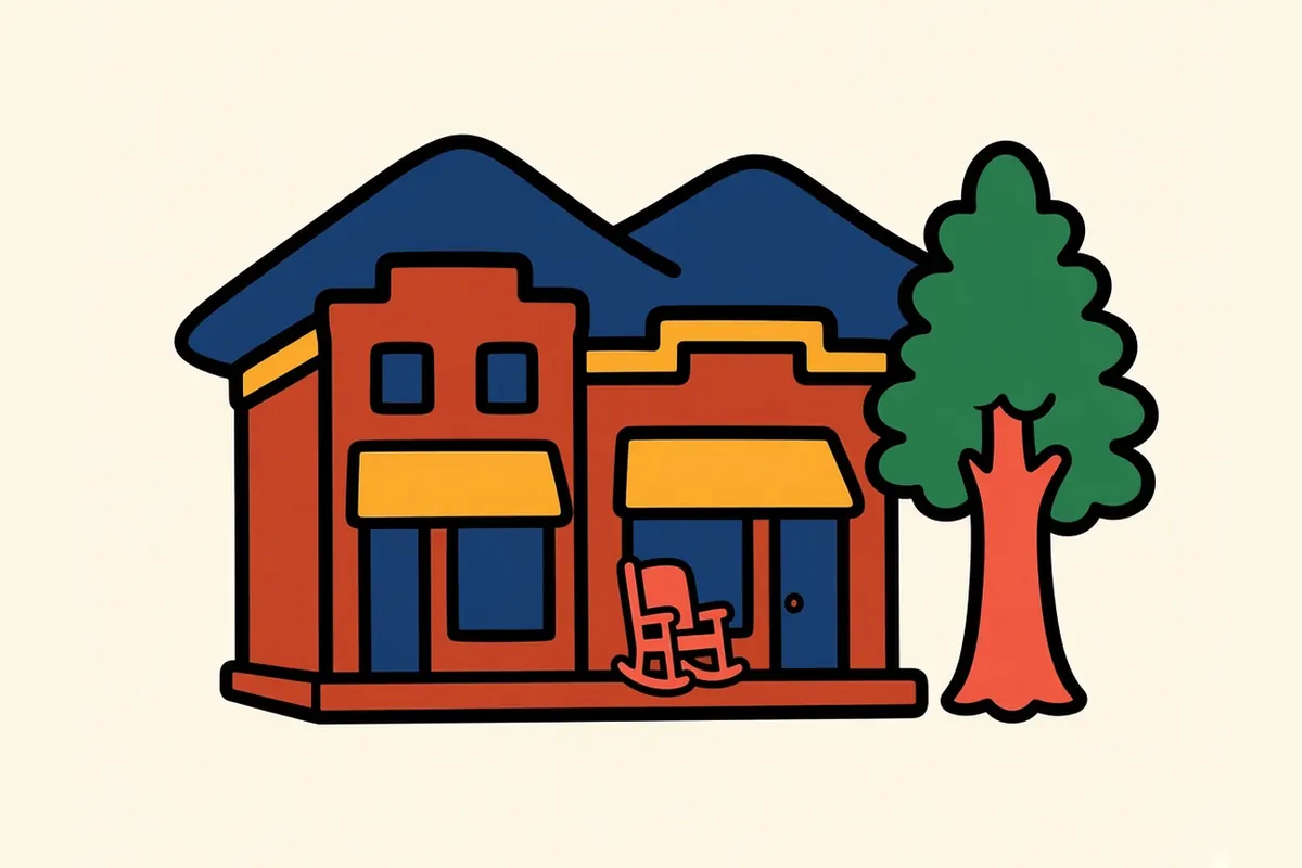
About 16 miles east on I-40, Black Mountain is a small town with a walkable main street and high ridges rising behind it. It’s an easy half-day out of the city, and a calmer place to stop if downtown Asheville is crowded on a fall weekend.
Every one of these sits at a different height, so the weather shifts as you climb between them.
The Parkway, the gorge road and what is still closed
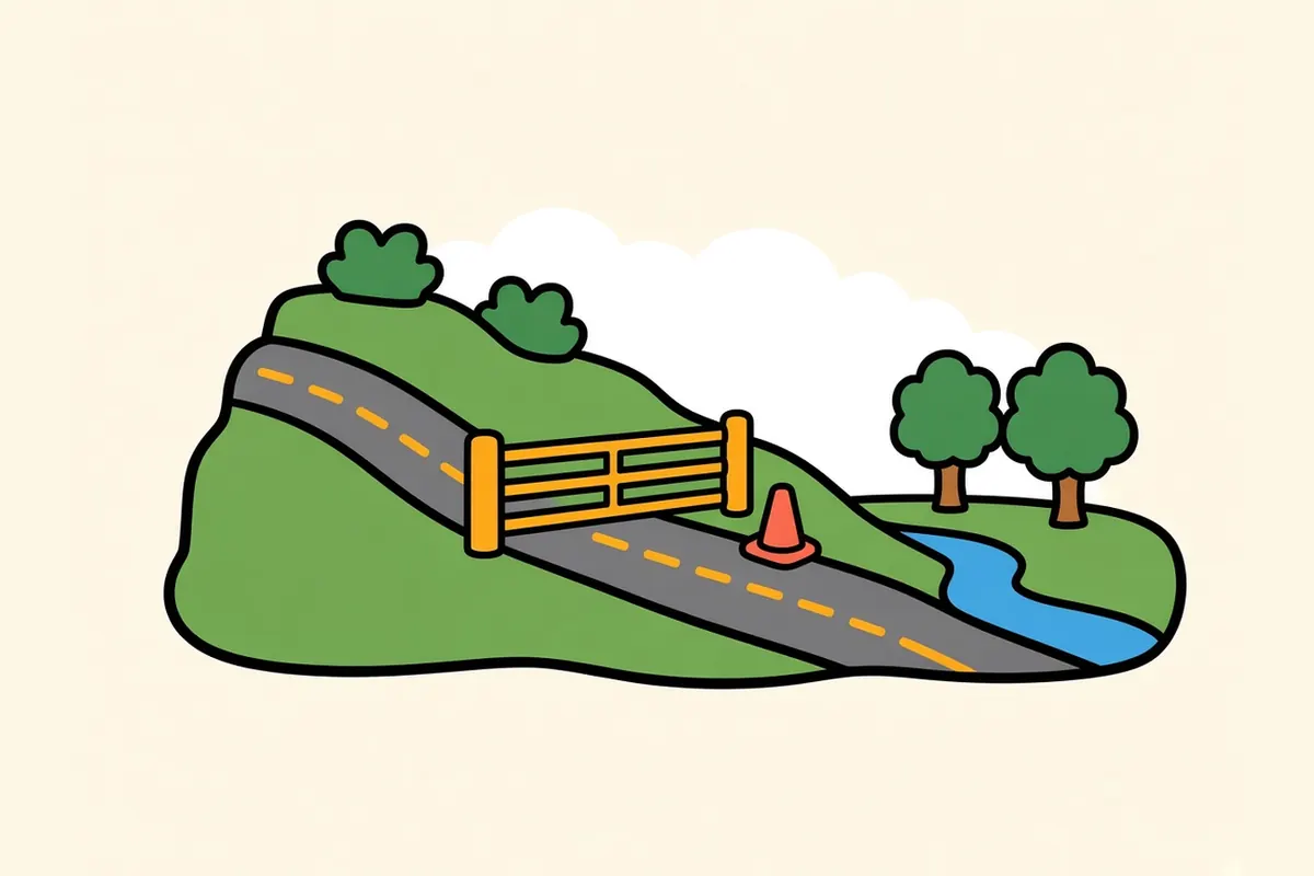
So, the two forecasts. The Parkway runs on the ridges, higher and often much colder than downtown, and the park closes sections with gates when the weather turns. Sections close seasonally and for repairs; check current conditions before you go. That’s normal on this road.
Farther north, repairs can close a longer stretch, including the miles around Mount Mitchell. Sections close seasonally and for repairs; check the road-status page before you plan a continuous drive. The Parkway charges no entrance fee.
The interstate west has its own caution. I-40 in the Pigeon River Gorge, on the way to Knoxville, can run with reduced lanes while it is rebuilt. Sections close seasonally and for repairs; check DriveNC for current conditions.
In the city, recovery is still work in progress. As of late September 2026, Asheville listed Helene recovery projects at nearly 200 sites, including parks along the river. If you’re aiming for a specific riverfront park or greenway, look at the city’s project pages first.
Down in the basin, check the weather; up on the ridge, check the road.
The Smokies, about an hour southwest
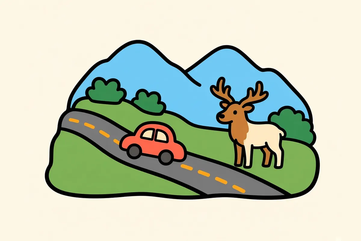
The North Carolina side of Great Smoky Mountains National Park is about 54 miles from downtown, roughly 1 hour to 1 hour 20 minutes, toward Cherokee and the Oconaluftee entrance. Take I-40, US-19 and US-441 rather than counting on the Parkway’s southern end, which often closes for weather. Getting into the park costs nothing, but parking there takes a tag, and the park page covers the tag, Kuwohi Road’s season and current trail cautions. I’d give it a full day at least, or an overnight on the park side, rather than squeezing it into an afternoon.
It’s close enough for a day and big enough to deserve more.
Making a living between the basin and the ridge

Tourism and hospitality carry a big share of the local economy, from restaurants and breweries to places to stay. Hospitals and health care are major employers, and the region draws remote workers, artists and small manufacturers. Some older, long-standing industry remains in the wider county. Since Helene, construction and recovery work has become part of the picture too.
Housing is expensive for North Carolina. Demand from people moving in, plus second homes, has pushed prices up.
Set against that cost is a walkable downtown, the French Broad just west of downtown, a national parkway at its edge and mountains in every direction when the air is clear.
Here, a short drive up the hill changes the season without changing the zip code.
An Asheville day, with a backup plan

- Two forecasts: Check the Parkway road-status page the morning you plan to drive it, even if downtown looks clear.
- Check the Parkway first: Sections close seasonally and for repairs; see the road-status page.
- Check I-40 west first: Construction can reduce lanes through the gorge; DriveNC shows the day’s conditions.
- Give the Smokies time: Plan a full day or an overnight, and read up on the parking tag before you go.
- Park once downtown: The streets are hilly and lots fill on fall weekends.
- Use winter for the city: Downtown stays open all year, while the Parkway often doesn’t.
- Book Biltmore ahead: Reserve a House entry time when you buy the ticket; arriving without one doesn’t guarantee House entry.
- Pack layers: The ridge runs noticeably cooler than the basin.
On the Blue Ridge and Smokies route
Blue Ridge and Smokies route: Knoxville to Shenandoah National Park. Previous: Great Smoky Mountains National Park, about 54 miles from Oconaluftee, roughly 1 hour to 1 hour 20 minutes. Next: Boone, about 85 to 86 miles, roughly 1 hour 35 minutes to 2 hours 5 minutes by highway. The Parkway toward Blowing Rock is a scenic option only when its sections are open.
Pair it with:
- Great Smoky Mountains National Park: the through road over Newfound Gap, about an hour southwest.
- Boone: a college town in the high country to the northeast.
- Knoxville: the Tennessee River’s city, about 116 miles west via I-40.
Stay in town or drive up onto the Parkway first?
Sources
Common questions
What are the best things to do in Asheville on a road trip?
Walk downtown around Pack Square, cross the river to West Asheville, look in on the studios of the River Arts District, stroll the old houses of Montford and drive up onto the Blue Ridge Parkway at the edge of town when it's open. Add Biltmore Village and the estate, or the small town of Black Mountain to the east.
Is the Blue Ridge Parkway open at Asheville?
Often, but not always. Sections close seasonally and for repairs; check current conditions before you go on the Parkway's [road-status page](https://www.nps.gov/blri/planyourvisit/roadclosures.htm).
How far is Asheville from Great Smoky Mountains National Park?
About 54 miles to the Oconaluftee entrance on the North Carolina side, roughly 1 hour to 1 hour 20 minutes. The park page covers the parking tag, Kuwohi Road and current trail cautions.
How do you get to Asheville, and how far is it from Charlotte, Atlanta and Knoxville?
Fly into Asheville Regional Airport (AVL), about 15 to 17 miles south of downtown, or drive in on I-40 or I-26. Charlotte is about 124 to 130 miles away, Atlanta about 207 to 208 miles and Knoxville about 116 miles on I-40, where lanes are reduced through the Pigeon River Gorge during reconstruction.
What should you know about Asheville and Hurricane Helene recovery right now?
The city is open to visitors, but recovery is still under way. As of late September 2026, the city listed Helene recovery work at nearly 200 sites, and some riverfront parks are still being rebuilt. On the Parkway, sections close seasonally and for repairs; check current conditions on the [road-status page](https://www.nps.gov/blri/planyourvisit/roadclosures.htm) before you go.
What is the cost of living like in Asheville, and what are the main jobs?
Housing is expensive for North Carolina, pushed up by people moving in and by second homes. Tourism and hospitality, restaurants and brewing, hospitals and health care, remote work, the arts and small manufacturing make up much of the work, along with construction and recovery jobs since Helene.
More city guides
- Albuquerque
- Austin
- El Paso
- Flagstaff
- Glacier National Park
- Great Smoky Mountains National Park
- Houston
- Las Vegas
- Los Angeles
- San Antonio
- San Diego
- Santa Fe
- Shenandoah National Park
- Boone
- Bozeman
- Charlottesville
- Denver
- Glenwood Springs
- Jackson
- Knoxville
- Missoula
- Moab
- Roanoke
- Salt Lake City
- West Yellowstone
- Whitefish