03 City Guides Utah
Things to Do in Moab on a Road Trip: Arches, Fins & River
Summary
Moab is a small river town in southeastern Utah, a few miles from Arches National Park, which holds the densest concentration of natural stone arches in the world. This guide works like a field guide to the best things to do in Moab on a road trip, taking the rock one shape at a time: arches, fins, towers, canyons and the river. Spring and fall are the best seasons, summer highs often top 100°F, and winter is cold, clear and quiet.
Late morning, and you’re standing right underneath it. You tip your head back until your neck complains, and the arch fills everything above you: a span of salmon-colored stone so wide and high that the people walking along its far side look the size of ants.
The odd thing is the sky. Framed by all that rock, the blue in the opening looks closer than the sand at your feet. A raven crosses it in two wingbeats. Off past one leg of the arch, the La Sal Mountains stand white with snow on the horizon, so far away and so out of place that your eyes keep checking them.
You step back, then again, trying to fit it all into one look. It won’t fit. And a question starts to nag: how does a solid wall of rock end up with a hole in it?
Quick plan
- How long
- I’d plan on three nights, enough for both national parks.
- Best months
- April to May, and late September to October.
- Heat warning
- Summer highs often top 100°F, so start at first light.
- Arches entry
- No timed entry in 2026; 2027 rules unannounced as of November 2026, so check before you go.
- Getting in
- US-191 and I-70; a small airport north of town; Grand Junction is about two hours away.
Things to do in Moab on a road trip, rock by rock
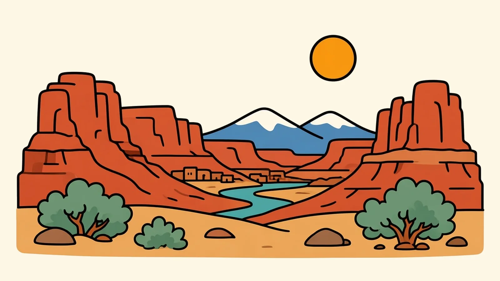
The red country around Moab looks chaotic at first, but it’s built from a handful of forms. Learn five of them, arches, fins, towers, canyons and the river that carved them, and the whole landscape starts to make sense. Each section below gives you a plain definition, then a scene, then where to see it.
Arches
What it is: a span of rock with an opening worn all the way through it, made by weathering rather than by running water.
Arches National Park starts about 5 miles north of town, and it holds more than 2,000 documented arches, the densest concentration of natural stone arches in the world. The park road switchbacks up out of Moab Canyon onto a high plateau. In the Windows section, several big arches sit within a short walk of each other, with one framing another. Delicate Arch, the freestanding one seen in so many photos, is reached by a hike of about three miles round trip, steep in places and exposed to full sun, and it’s at its best in late-afternoon light.
Arches required timed-entry reservations from 2022 to 2025, dropped them for 2026 and, as of November 2026, hadn’t announced its plan for 2027, so look up the rules for your season on the park’s website. The park is busiest from March to October, and the National Park Service suggests entering before 8 a.m. or after 3 p.m. to miss the lines. Arches and Canyonlands don’t add the nonresident fee some big western parks now charge, but you still need an entrance pass; see whether an annual pass is worth it.
Arches is also an International Dark Sky Park, and the park encourages night visits. Even an arch you’ve seen at noon looks new against the Milky Way.
Fins
What it is: a tall, thin wall of sandstone standing on edge, often in rows like slices of bread.
The question from under the arch starts with salt. Far underground lies a thick layer of it. Over millions of years it shifted and flowed, pushing the sandstone above it up into domes until the rock cracked along long, parallel lines. Rain, ice and wind widened those cracks into corridors, and the rock between them was left standing as fins. When water seeps into a fin, freezes and thaws over and over, slabs fall away from the sides. Eventually the fin wears through. A hole opens, then widens. That’s an arch. In time, the span falls too.
The best place to see fins up close is the Fiery Furnace, a maze of narrow corridors between them in Arches. There are no marked trails, so you go either with a ranger or on a self-guided permit, and either way you need a reservation. Book well ahead.
Once you know the sequence, you’ll see it everywhere: whole fins, fins with windows starting, arches and the stumps of fallen ones.
Towers
What it is: a freestanding column of rock left behind when the cliff around it has worn away.
Inside Arches, Park Avenue is a corridor of sheer walls and towers lined up like a city street, near the start of the park road. For the biggest towers, drive UT-128 east of town along the Colorado River. Fisher Towers, on Bureau of Land Management land about 22 miles out, rise in dark red, fluted spires streaked with desert varnish, and a trail of about 2.2 miles each way winds among them. Nearby, Castle Valley opens to the south, ringed by mesas and pinnacles, with the La Sal Mountains behind.
From a distance, towers make the skyline. Up close, they make you feel very small.
Canyons
What it is: a deep trench cut by a river through layer after layer of rock.
Canyonlands National Park’s Island in the Sky district is a mesa about 33 miles from town, and from its edge you look down on two separate levels of canyon carved by the Green and Colorado rivers. Grand View Point, at the end of the road, shows just how far those canyons reach. Next door, Dead Horse Point State Park has an overlook above a tight gooseneck bend of the Colorado. It’s a Utah state park, so it charges its own fee. Both are reached by UT-313, which has a repaving project lined up, so check UDOT for roadwork before you go.
The Needles district of Canyonlands is a separate, long day trip, about 74 miles south of town. Its banded spires see far fewer visitors.
From those rims, you’ll start reading the canyon walls like a history book.
River
What it is: the force behind all of it. The Colorado River cut the canyons, and it still runs through town, edged by a green line of cottonwoods.
UT-128, the Upper Colorado River Scenic Byway, follows the river northeast from Moab toward I-70. Tall red walls, sandy beaches and drifting rafts line the way, and outfitters in town run floats and whitewater trips.
The drive in from I-70 East, as a timeline:
- Cisco: Leave I-70 at the Cisco exit, an old railroad stop of empty buildings on open desert.
- Dewey Bridge: The road meets the river. The towers of an old suspension bridge stand beside the newer crossing.
- Fisher Towers: Red spires appear on the left as the valley narrows.
- Castle Valley: A wide side valley opens to the south, with the snowy La Sals beyond it.
- The narrows: The canyon walls close in on the river for the last miles, and then you’re in Moab.
From the north or south: US-191 from Crescent Junction drops through Moab Canyon past the Arches entrance; from Monticello it crosses open sage country with the La Sals to the east.
Arrive along the river at least once, ideally as the sun drops and the walls glow.
Getting there
By air: Canyonlands Regional Airport (CNY), about 18 miles north of town, is small, with year-round nonstop flights to Denver since fall 2026 and other service that changes with the seasons, so check what’s flying. Grand Junction (GJT) is about 114 miles away, and Salt Lake City (SLC) about 234 miles.
By road: I-70 runs east-west north of town. US-191 runs north-south right through Moab, north to I-70 at Crescent Junction and south toward Monticello and the Four Corners. UT-128 follows the river from I-70 near Cisco.
From nearby cities:
- Grand Junction: about 113 miles, roughly 2 hours.
- Salt Lake City: about 234 miles, roughly 4 to 4.5 hours.
- Denver: about 355 miles, roughly 5.5 to 6.5 hours.
- Las Vegas: about 457 miles, roughly 7 to 7.5 hours.
By train: No train runs to Moab. The nearest Amtrak stop is Green River, Utah, on the California Zephyr line, about 52 road miles away.
Moab and around, area by area
Main Street
Main Street is the town’s long spine, part of US-191, lined with outfitters, galleries, places to eat and a steady stream of off-road vehicles. Side streets lead to quiet blocks of cottonwoods and small houses.
The river corridor and UT-128
Upriver from town, the road passes campgrounds, ranch land and trailheads, with the canyon walls always close.
Castle Valley
A small community spreads across this wide valley floor, with rock towers on the rim and orchards and pastures below. It’s mostly residential, so drive slowly.
North of town: US-191 to Arches
North of the river bridge, the highway runs up Moab Canyon past the Arches entrance, with a paved bike path beside it, away from traffic, that continues toward the Canyonlands turnoff.
Spanish Valley
South of town, Spanish Valley is the residential side of Moab: neighborhoods, ranches and newer homes stretched toward the foot of the La Sals.
The La Sal Mountains loop
The La Sal Mountain Loop Road climbs from the desert into aspen and pine, with cooler air and wide views back over the red country. Its high section isn’t kept open through winter snow, so it’s best from late spring through fall. Check conditions before you go.
Work and home in canyon country
Moab runs on tourism and outdoor recreation: guiding, outfitting, hospitality and the shops on Main Street. The national parks and the Bureau of Land Management provide steady public-lands jobs, and health care and the schools employ many more. The area also has a long history of uranium mining and other energy work.
Housing is tight and expensive for a small, remote town, because visitors and short-term rentals compete with locals for space.
For the people who stay, the trade is two national parks just outside town, a river, huge skies and real quiet once the day visitors leave. It’s a place where the evening walk comes with red cliffs.
Moab tips for heat, ice and dark skies
- Water: The park service recommends at least a gallon per person per day. Drink before you feel thirsty.
- Early or late: In busy months, enter Arches before 8 a.m. or after 3 p.m.
- Stay on trails and slickrock: The dark, crusty soil beside the trail is alive, and a single footprint can wipe out decades of growth.
- Flash floods: Never wait out a storm in a narrow canyon or a dry wash.
- After dark: Bring a red light, give your eyes time to adjust and pick a pullout away from headlights.
- Fiery Furnace: Book the permit or ranger hike well ahead.
- Winter: Trails can be icy where the slickrock stays shaded, so pack traction devices.
- Fuel: Fill up in town before Canyonlands or the Needles, because services out there are few and far apart.
On the Rockies and parks route
Rockies and parks route: Denver to Glacier National Park. Previous: Glenwood Springs, about 198 miles, roughly 3 to 3.5 hours via I-70 and US-191. Next: Salt Lake City, about 234 miles, roughly 4 to 4.5 hours via US-191, US-6 over Soldier Summit and I-15.
Pair it with:
- Zion in winter: a different Utah park trip, about 345 miles southwest, roughly 5.5 to 6 hours.
- Flagstaff: for readers coming up from Arizona, about 323 miles south, roughly 6 to 6.5 hours.
Arch, fin or tower: which shape would you hike to first?
Common questions
What are the best things to do in Moab on a road trip?
Drive and hike Arches National Park, early or late in the day; book a Fiery Furnace hike; look over the canyons from Island in the Sky in Canyonlands and from Dead Horse Point State Park; drive UT-128 along the Colorado River to Fisher Towers and Castle Valley; take a river trip; and stay out after dark for the stars.
Do you need a reservation for Arches National Park?
Not in 2026, when Arches dropped the timed-entry reservations it had used from 2022 to 2025. As of November 2026 the park hadn't announced its 2027 rules, so check its website for the season you're going. You still need an entrance pass, and reservations are required for Devils Garden Campground and for both self-guided and ranger-led Fiery Furnace hikes.
Is Moab worth visiting in winter?
Yes, if you dress for it. Winter highs in Arches average 30 to 50°F, crowds are thin, the light is clear and snow on red rock is a rare sight. Shaded trails can be icy, so bring traction devices. Ranger programs pause in winter, and the La Sal Mountain Loop's high section isn't kept open through the snow.
What can you do in Moab besides hiking?
Drive the scenic roads (the main Arches road, UT-128 along the river, the overlooks at Island in the Sky and Dead Horse Point), take a guided river float, ride the paved bike path toward Arches, take a four-wheel-drive tour on the backroads, browse the galleries on Main Street and stargaze after dark.
How far is Moab from Salt Lake City, Grand Junction and Denver?
Grand Junction is about 113 miles, roughly 2 hours, via I-70 and US-191. Salt Lake City is about 234 miles, roughly 4 to 4.5 hours, via US-191, US-6 and I-15. Denver is about 355 miles, roughly 5.5 to 6.5 hours, via I-70 and US-191.
What is the cost of living like in Moab, and what are the main jobs?
Housing is tight and expensive for a small, remote town, because visitors and short-term rentals compete with residents for space. Most jobs are in tourism and outdoor recreation, on public lands with the parks and the Bureau of Land Management, and in health care and schools, with some mining and energy work in the wider area.