06 City Guides Montana
Things to Do in West Yellowstone on a Road Trip: Geysers
Summary
West Yellowstone is a small Montana town at Yellowstone's West Entrance, about 30 miles from Old Faithful. This guide to things to do in West Yellowstone on a road trip goes one geyser basin at a time down the west side of the park, then comes back to the town. Cars can drive in from mid-April to October; in winter, the park is reached by snowcoach and guided snowmobile.
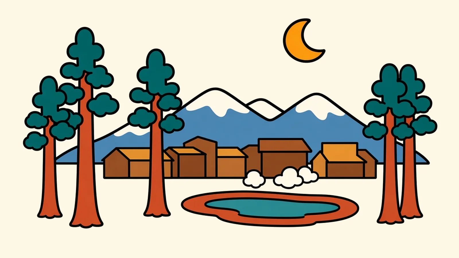
Blue first. A deep, clear blue fills the heart of the spring, so saturated it looks lit from below.
You’re on the hillside overlook in the late morning, a little above the boardwalks, looking down on Grand Prismatic Spring through a faint haze. The colors are laid out in rings. The blue gives way to a band of green, then yellow, then wide streaks of orange and rust running out across the pale ground like spilled paint. Far below, people on the boardwalk look tiny. Lodgepole pines stand on the far side of the basin, dark against all that color.
Nobody painted this, and no filter did it either.
So where do the colors come from? And why would a spring hot enough to scald have bands of orange at its edges?
Quick plan
- How long
- Three nights is ideal; two works.
- Best months
- Late May through June, plus September.
- Car season
- Mid-April to October 31. Check the NPS road page before you go.
- Winter
- Guided snowcoach or snowmobile only, mid-December to mid-March.
- Getting in
- Fly into Bozeman, about 90 miles north; the town’s own airport is summer-only.
Things to do in West Yellowstone on a road trip, one basin at a time
West Yellowstone is a small town at the park’s West Entrance. The park boundary is at the end of its main street. This page follows a single day: in at the gate early, down the Madison River, then south through the geyser basins, basin by basin on slow boardwalk loops, and back north in the evening. Old Faithful is about 30 miles in, roughly an hour’s drive without stops.
After the basins, the page turns to the seasons and to the town itself.
One road, three basins and a town at the end of it: that’s all the plan you need.
Along the Madison
The West Entrance road follows the Madison River for about 14 miles, through meadows and burned-and-regrown lodgepole forest. Bison graze the grassy banks, and elk wade the shallows in the evening. There are pullouts along the river, and that’s the place to stop for animals, not the middle of the lane.
At Madison Junction, two rivers meet. The Firehole flows in from the south and the Gibbon from the east, and together they form the Madison. Turn south up the Firehole and the steam starts showing up on the horizon.
Follow the steam.
Lower Geyser Basin
The boardwalk at Fountain Paint Pot is short, and it packs in all four kinds of thermal features the park is known for. You’ll see hot springs, steam vents, mudpots that pop and spit, and geysers that go off on their own schedules. The ground crust can be thin over boiling water, so stay on the boardwalk.
Just south, Firehole Lake Drive is a short one-way loop past more springs and a large fountain-type geyser. As of November 2026 it was closed to cars; you can still walk or bike it, but there’s no dedicated parking along the route.
Twenty minutes here teaches you how to read the whole west side.
Midway Geyser Basin
The boardwalk at Midway crosses the Firehole on a bridge and climbs onto the terrace beside Grand Prismatic Spring. Up close, it’s mostly steam and heat, with the ground running orange right under your feet. Then walk to the overlook. The trail starts at the Fairy Falls Trailhead, about a mile south of Midway, and it’s about 0.6 miles each way. Parking is limited.
The question from the overlook has a living answer: the colors are alive. They come from mats of heat-loving microbes, and each kind can survive only in a narrow range of temperatures. As the water cools on its way out from the center, it forms rings at different temperatures, and each ring is home to different microbes. The greens are chlorophyll. The yellows, oranges and reds come from carotenoids, the same family of pigments that gives carrots their color. The blue at the center is just deep, clear water, too hot for most life, scattering sunlight back at you.
The insider move is to do both views, and I’d do the boardwalk first. From the boardwalk you get the heat; from the overlook you get the full spread of color.
Upper Geyser Basin
Old Faithful is the famous one, and the park posts predicted eruption times for it and several other geysers at the visitor center. Check them, then go for a walk. The boardwalk loops head out from the Old Faithful area past dozens of geysers and hot springs. The farthest pools, at the far ends of the loops, are some of the quietest places in the basin.
On the drive back north in the evening, take it slower than you did in the morning. The animals are out, and the light is low across the Madison.
Getting there, by season
How you get here depends on the month.
| Summer (mid-April to October 31) | Winter (November 1 to mid-April) |
|---|---|
| Into town: US-20 from Idaho, US-191 from Bozeman, US-287 from Ennis, plus summer flights into the town airport | Into town: The same highways, plowed but often snowy; check MDT and Idaho 511 |
| Into the park: By car through the West Entrance; projected to reopen April 16, 2027 | Into the park: No cars. From December 15 to March 15, go by guided snowcoach or snowmobile |
| To Jackson: Through both parks once the South Entrance opens, projected for May 14, 2027 | To Jackson: Around the outside, through Island Park and over Teton Pass |
| Gaps: None once the roads are open | Gaps: November to mid-December and mid-March to mid-April, with no cars and no oversnow travel on the west side |
By air: Yellowstone Airport (WYS), just north of town, has commercial flights only in the warm season, typically May through October; check what’s flying. Bozeman Yellowstone International (BZN) is about 90 miles north and served all year. Idaho Falls (IDA) and Jackson (JAC) are other options.
Drive times:
- Bozeman: about 89 miles, roughly 1.5 to 2 hours, through the Gallatin Canyon on US-191.
- Idaho Falls: about 108 miles, roughly 2 hours, on US-20.
- Salt Lake City: about 321 miles, roughly 5 to 5.5 hours, via US-20 and I-15.
Check the calendar before you look at the map.
Winter: a different town
When the snow comes, the town changes its whole rhythm. Snowmobiles park outside motels, and snowcoaches, high-clearance vans and buses on tracks or giant tires, idle in the cold before dawn. From December 15 to March 15, they run into the park on groomed roads, including to Old Faithful. Some other winter destinations, such as the canyon, have slightly earlier closing dates. Every trip has to be commercially guided, except for a small permit program that allows one non-commercially guided group per entrance per day.
Book ahead. Winter tours fill up, especially around the holidays.
The Rendezvous Ski Trails, at the south edge of town, are groomed for cross-country skiing from about December 1 to March 31. Those same lodgepole forests turn into a trail network for hikers and bikers in summer.
The park in winter is steam, snow and silence, and from here you can reach it only by guided snowcoach or snowmobile.
West Yellowstone and around
The town grid
A few blocks of motels, outfitters, gift shops and diners sit by the entrance. It’s compact and easy to walk, and the frontier-tourist look is part of its charm.
The West Entrance and the Madison corridor
The entrance station sits where town ends. Just beyond it, the road and river run side by side all the way to Madison Junction, with pullouts, picnic spots and fishing access along the way.
Hebgen Lake
Northwest of town on US-287 lies a long reservoir surrounded by forest and mountains, with campgrounds, boat ramps and quiet shoreline roads. It’s a calm alternative to the park on a crowded summer day.
Earthquake Lake
Farther down the Madison, about 27 miles northwest of town, a landslide set off by an earthquake in 1959 dammed the river and formed this lake. The Forest Service visitor center overlooking the slide is open from Memorial Day to mid-September.
The ski trails on the south side of town
The Rendezvous trail system, at the south edge of town, is groomed for skiing in winter and used by walkers and bikers in summer.
Island Park, Idaho
Across the state line, about 30 miles southwest on US-20, Island Park is a separate area of cabins, rivers and lakes in a wide forested basin. It’s quieter than town, and still within easy reach of the West Entrance.
A year-round life in a seasonal town
Almost everything here runs on tourism: lodging, guiding, food, outfitting, and the winter snowmobile and snowcoach business, plus some public-lands jobs. It’s a small, seasonal economy, and housing for workers is hard to find.
People stay for the park a few blocks away, trout rivers in every direction and a small town that still feels a little like the frontier. For anyone who likes snow and quiet, the long winter is the point.
Before you head through the West Entrance
- Start early: In summer, get to the West Entrance early; lines build by mid-morning.
- Boardwalks: Stay on them in every thermal area. The crust can be thin over boiling water.
- Wildlife: Give bison and elk 25 yards, and bears and wolves 100. Use a pullout rather than stopping in the lane when traffic backs up around bison.
- Shoulder seasons: Check the NPS road page before booking November or early April.
- Winter tours: Book snowcoach and guided snowmobile trips well ahead.
- Gas and food: Fill up in town. Services inside the park are limited.
- Layers: Even in July, mornings can be near freezing.
- Fees: Yellowstone adds $100 per person for visitors 16 and up who live outside the US and lack a qualifying pass; is an America the Beautiful pass worth buying runs the math.
On the Rockies and parks route
Rockies and parks route: Denver to Glacier National Park. Previous: Jackson, Wyoming, about 130 miles via the two parks, 3 to 4 hours, mid-May to October only; in other months about 127 miles, 2.5 to 3 hours, around through Island Park, Ashton and Teton Pass. Next: Bozeman, about 89 miles, roughly 1.5 to 2 hours north on US-191 through the Gallatin Canyon.
Pair it with:
- Gardiner and the north entrance: the Mammoth terraces and the Lamar road, the only part of the park you can drive into in winter.
- Island Park, Idaho: rivers, cabins and a quieter base.
- Big Sky: about 55 miles north up the Gallatin Canyon.
- Salt Lake City: for readers driving up from Utah.
Which hot-spring color surprised you most in photos: the blue or the orange?
Common questions
What are the best things to do in West Yellowstone on a road trip?
Drive the West Entrance road along the Madison River, then walk the geyser basins basin by basin: Fountain Paint Pot in the Lower Geyser Basin, Grand Prismatic Spring at Midway, and Old Faithful and the boardwalk loops of the Upper Geyser Basin. Outside the park, visit Hebgen Lake and Earthquake Lake, and ski or ride the trail system at the edge of town.
Is Yellowstone open in winter, and can you drive in from West Yellowstone?
The park is open in winter, but you can't drive your own car in from West Yellowstone. The West Entrance closed to cars on November 1, 2026, and is projected to reopen on April 16, 2027. From December 15 to March 15 you can go in on a commercially guided snowmobile or snowcoach tour, or through the permit-based non-commercially guided snowmobile program. The only road open to cars all year is in the north, from Gardiner to Cooke City.
How long is the drive from West Yellowstone to Old Faithful?
About 30 miles, roughly an hour without stops, via Madison Junction. In summer, traffic and wildlife on the road often add time, so start early.
West Yellowstone or Gardiner: which is the better base?
West Yellowstone is closer to the geyser basins and Old Faithful, but it only has car access into the park from mid-April to October. Gardiner, at the north entrance, is closer to Mammoth and the Lamar Valley, and its road is open to cars all year, which makes it the winter base for drivers.
How far is West Yellowstone from Bozeman, Idaho Falls and Salt Lake City?
Bozeman is about 89 miles, roughly 1.5 to 2 hours, north through the Gallatin Canyon on US-191. Idaho Falls is about 108 miles, roughly 2 hours, on US-20. Salt Lake City is about 321 miles, roughly 5 to 5.5 hours, via US-20 and I-15.
What is it like to live and work in West Yellowstone?
It's a small, seasonal tourism town. Most jobs are in lodging, food, guiding and outfitting, along with winter snowmobile and snowcoach operations and some public-lands work. Housing for workers is hard to find, and winters are long and snowy.