08 City Guides Nevada
Las Vegas Road Trip Guide: Red Rock, Downtown & Beyond
Summary
Las Vegas is the eighth stop on this road trip, back down at about 2,000 feet in the Mojave, and the best things to do in Las Vegas on a road trip split evenly between the desert and the neon. Spring and fall are the best seasons, and summer is very hot. If you're going to Red Rock Canyon between October and May, book a timed-entry slot or arrive before 8 a.m.
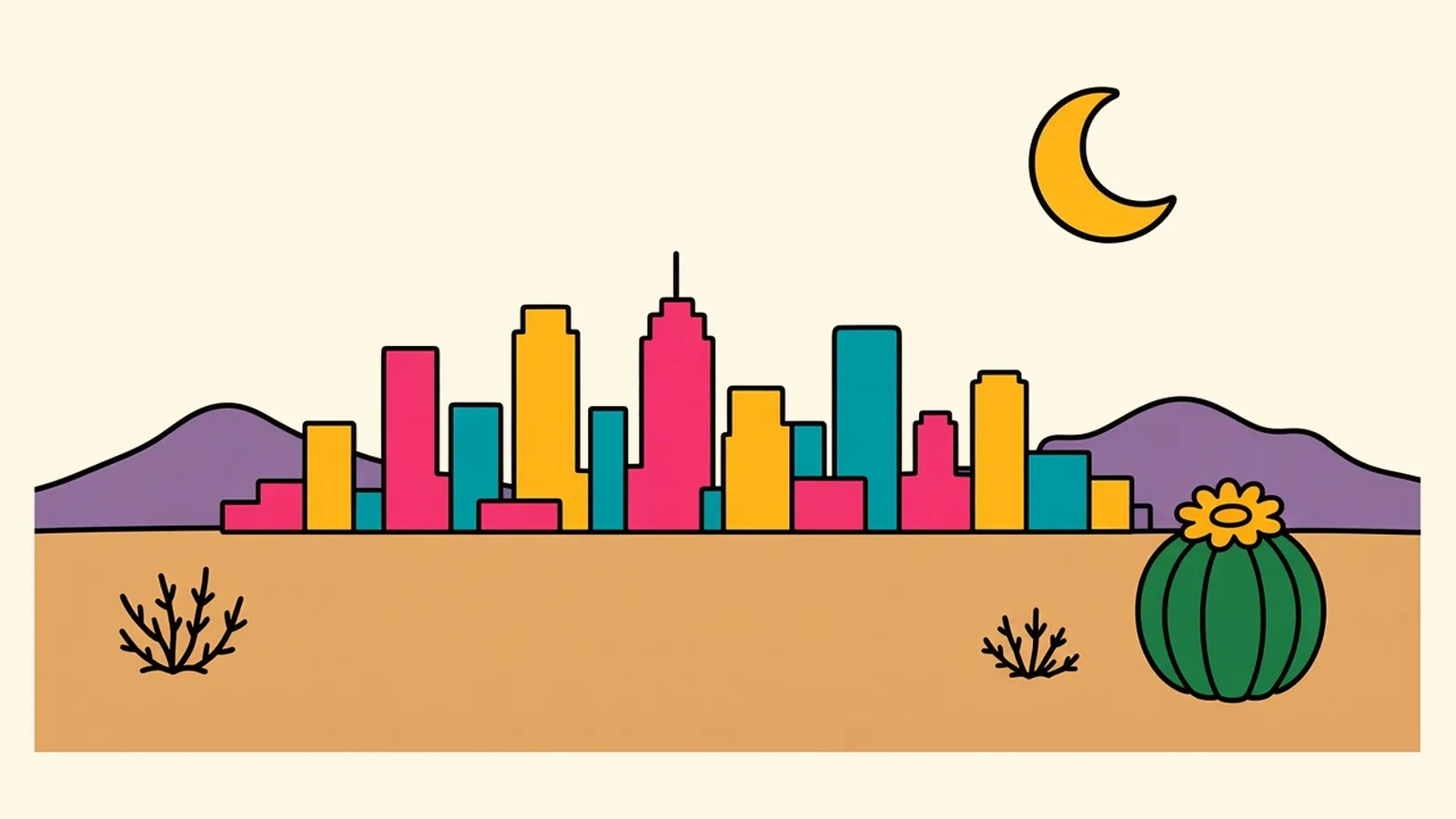
The sandstone is already warm under your palm, though the sun has barely cleared the ridge to the east. You press your hand flat against it, a rounded wall of rock banded red and cream, gritty as coarse sandpaper, and feel the night’s cold lifting off it.
This is the base of the Calico Hills in Red Rock Canyon. The air smells faintly of creosote. Nothing moves except a lizard on a ledge and a raven gliding overhead without a sound. A day after the long drop off the plateau, the silence feels almost physical.
Behind you, to the east, the valley opens out. Past miles of desert scrub and low suburbs, the Strip’s towers stand on the horizon as a thin gray line, small and quiet at this distance.
Two cities share this valley. The desert was here first, and the neon came later. The best way to see Las Vegas is to move back and forth between them.
Quick plan
- Give it
- Two nights, one for a desert morning and one for a downtown night.
- Sweet spot
- March to May and October to November.
- Red Rock
- Timed entry from October through May; go early.
- In from Flagstaff
- About 250 miles, 4 hours or so.
- Onward to LA
- About 270 miles on I-15. Avoid Sunday afternoons.
Things to do in Las Vegas on a road trip, desert and neon
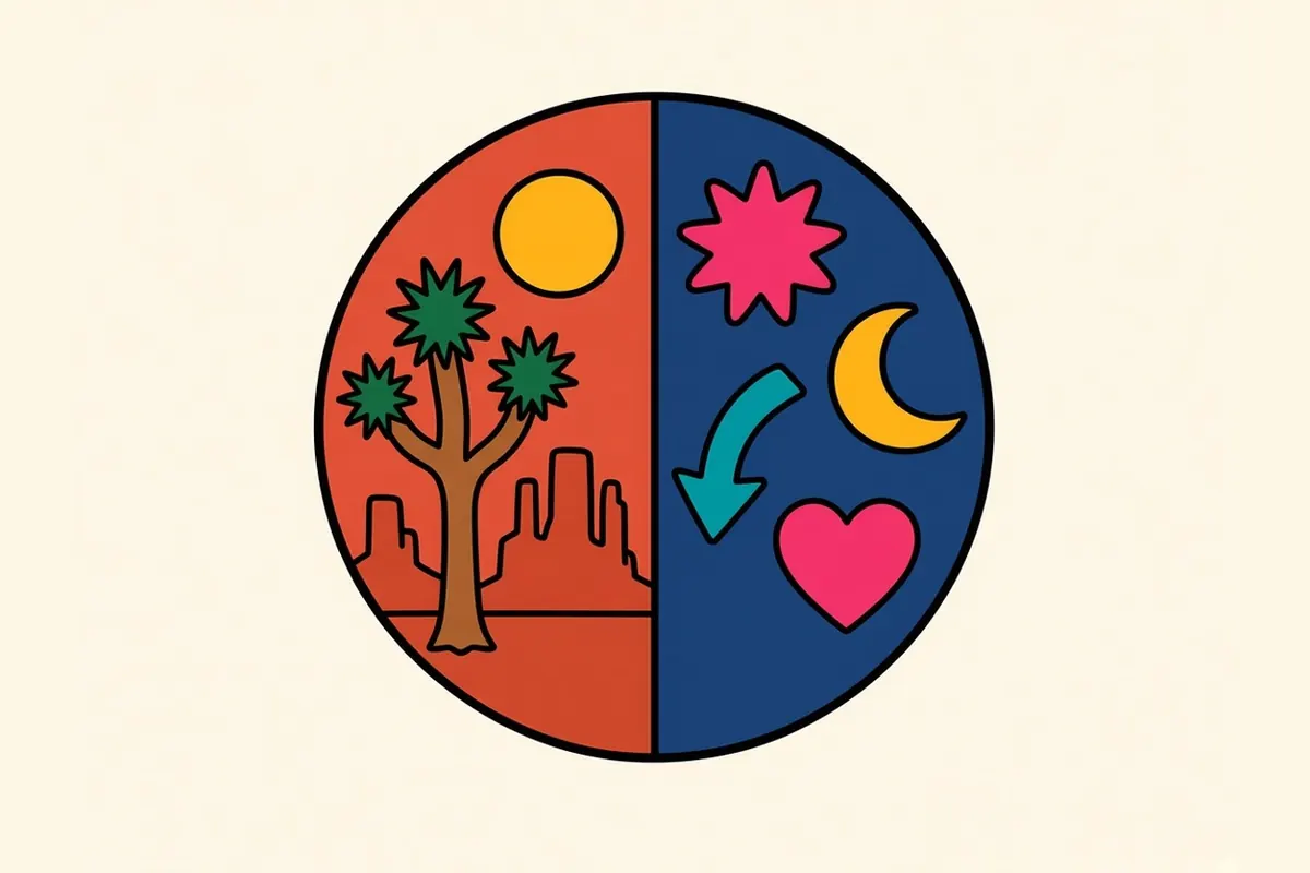
Las Vegas splits neatly into two halves. On the desert side, Red Rock Canyon sits just west of town, and Valley of Fire, Hoover Dam and Lake Mead, and Mount Charleston make easy day trips. On the neon side, the Strip runs down the middle of the valley, and the city’s older heart is downtown, where Fremont Street and Fremont East sit side by side. Between them are the 18b Arts District and Chinatown’s long dining corridor on Spring Mountain Road. The sections below switch from one side to the other, as the city does. I’d give the desert your mornings and the neon your nights.
Neon: the Strip, briefly
Fast facts first.
The Strip is a stretch of Las Vegas Boulevard South, about 4 miles long. Most of it isn’t in the City of Las Vegas. It lies in unincorporated Clark County, in the towns of Paradise and Winchester.
It’s bigger than it looks. Resorts that seem next door are often a 15-minute walk apart, and pedestrian bridges carry you over the intersections. In summer, even short walks are hot.
After dark, the free outdoor shows start: fountains that leap in time to music, lights washing over facades, crowds stopping on the sidewalks to watch. East of the boulevard, a giant sphere covered in LED panels changes its face every few minutes, and you’ll see it from all over the valley.
Inside, the air is cold and the light never changes. Outside, it’s glare and noise. Walk a mile of it, then go somewhere else.
Desert: Red Rock Canyon
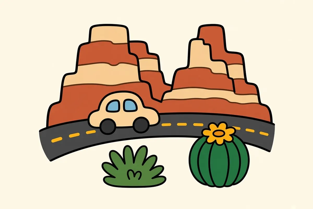
Red Rock Canyon National Conservation Area is about 17 miles west of the Strip along Charleston Boulevard, and once you’re past the last subdivisions the city drops away almost entirely. A 13-mile one-way scenic drive loops below the Calico Hills and the long escarpment beyond them, with parking areas at overlooks and trailheads along the way. Some trails are short walks among sandstone boulders. Others climb into narrow canyons where water collects after rain and a few trees grow in the shade.
From October 1 through May 31, the scenic drive requires a timed-entry slot, booked on Recreation.gov, for arrivals in the 8 a.m.–5 p.m. window. Get through the entrance before 8 and no slot is required. A per-vehicle fee applies, and annual and lifetime America the Beautiful passes are accepted; bring the physical pass. The drive’s hours change with the season, opening early and closing earlier in winter than in summer.
Go slowly. Park at one of the first pullouts and walk out among the boulders, where the rock is streaked red, orange and cream, sometimes in a single outcrop. Farther along, the road turns south beneath the escarpment, a wall of gray limestone laid over the red sandstone. Look closely at the shaded cracks and you may find a few junipers and a scrub oak holding on. Bighorn sheep live in the high country, and wild burros sometimes wander the roads near the canyon, so watch for them as you drive and don’t feed them.
By midmorning the rock is hot to the touch, the same rock that was only beginning to warm under your hand at sunrise. From May through September, finish your hike before the heat builds and turn back sooner than you planned.
Neon: Downtown after dark

Downtown is where Las Vegas started: a railroad town laid out after a land auction beside the tracks in 1905.
Now it’s lights. A long canopy over Fremont Street turns into a giant overhead screen at night, with shows that ripple from one end to the other. Old casinos line both sides. Music comes from every direction at once.
East of the canopy, Fremont East is quicker and looser: dive bars, small stages, late-night food and a shopping park built from shipping containers.
North of downtown, a few minutes by car, the Neon Museum keeps retired signs in an outdoor yard called the Boneyard. Admission is timed and self-guided, with optional guided tours. Cracked letters and faded arrows tower over gravel paths, and some of the restored signs glow after dark.
Las Vegas neighborhoods, on the Strip and off it
The Strip

Las Vegas Boulevard South, from roughly Russell Road north to Sahara Avenue, is lined with resorts the whole way. Walk it in short sections, use the pedestrian bridges, and save the long distances for a rideshare or the monorail.
Downtown and Fremont Street

The old casino core is smaller and older than the Strip, gathered under the light canopy. It’s the easiest place to see what Las Vegas looked like before the megaresorts.
Fremont East

Just east of the canopy, a few blocks of cocktail rooms, live-music spots and restaurants fill old motel-era buildings and new ones alike. It’s at its liveliest late in the evening.
18b Arts District

Named for its original 18 blocks south of downtown, the Arts District has galleries, vintage and antique shops, murals and small bars. On First Friday each month the streets fill for an evening art walk.
Chinatown and Spring Mountain Road

West of the Strip, a shopping plaza that opened in 1995 has grown into a corridor of Asian restaurants, bakeries and markets that stretches for miles along Spring Mountain Road, turning more Korean the farther west you go. It’s mostly strip malls with shared parking lots, and it’s busy long after midnight.
Summerlin
On the west side, toward Red Rock, Summerlin is a planned community of trails, parks and the greenest edges of the valley. It’s the last stop for coffee and supplies before the desert.
Henderson
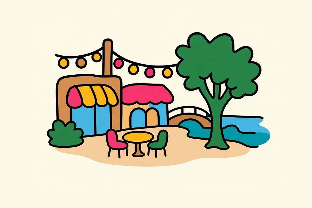
Henderson is a separate city southeast of Las Vegas. Its Water Street District gives the city a compact, walkable downtown with places to eat, public art and a plaza for events. Farther out, the Lake Las Vegas area has resort-style villages around a man-made lake.
Boulder City
Built in the 1930s to house the workers building Hoover Dam, Boulder City is a small town of tree-lined streets and quiet blocks. It’s one of only two places in Nevada where gambling is banned, and after the Strip, its calm comes as a surprise.
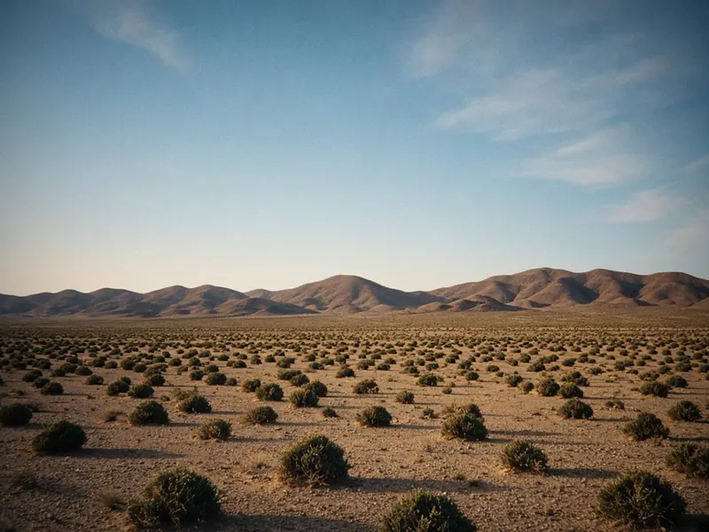
Desert: day trips past the city’s edge
Valley of Fire State Park. Nevada’s oldest state park is about an hour northeast, a maze of red sandstone, petroglyphs and twisting roads. Many of its longer trails close from mid-May through September because of extreme heat, and the whole park closes for maintenance from December 1 to 14 each year.
Hoover Dam and Lake Mead. About 35 miles southeast, the dam blocks the Colorado River in a deep, narrow canyon, with Lake Mead spread out behind it. Reclamation sets the dam’s tour schedule and security rules, so look them up before you go. Lake Mead National Recreation Area charges an entrance fee, and an America the Beautiful pass covers it.
Mount Charleston. About 45 minutes northwest, in the Spring Mountains, you trade creosote for pines. It’s often 20 to 30 degrees cooler than the valley, and there’s snow on the peaks in winter.
Neon, and noodles, at 2 a.m.

Las Vegas eats all night.
The buffet is the classic tradition: long counters and endless plates, now in many forms from casual to lavish. The 24-hour coffee shop survives too, serving eggs and pancakes at any hour to people coming off shifts or out of shows.
The resorts are full of steakhouses and restaurants run by big-name chefs, often designed to be part of the show.
But the city’s late-night soul is on Spring Mountain Road. Noodle shops, hot pot, Korean barbecue, dumplings and dessert cafés stay open long after the casino floors slow down, and at 2 a.m. their lanterns are still glowing over the parking lots.
Desert seasons and convention weeks

The kindest months run from March through May and again through October and November, with warm days, cool nights and comfortable hiking. Summer is brutal. Highs regularly go well over 100 degrees from June into September, and hiking is safe only at dawn. Winters stay mild and bright, with cold nights, occasional strong winds and snow on the mountains to the west.
Big conventions can push room prices far above normal, so if your dates are flexible, check the convention calendar before you book.
Making a living in a 24-hour town

Hospitality and gaming are the backbone, by a wide margin: hotels, casinos, restaurants and the huge workforce that keeps them running around the clock. Conventions and trade shows are a large industry of their own. Entertainment production, construction, logistics and warehousing along the I-15 corridor, health care, and a growing sports and events economy fill out the picture.
Nevada doesn’t tax personal income, and housing has generally cost less than in coastal Southern California, though it climbed quickly in recent years.
The upside: a town that keeps its lights on around the clock, big outdoor country within half an hour, sunny winters and a food scene that runs far beyond the resorts.
Las Vegas tips for heat, distance and fees

- Heat: In summer, do Red Rock at dawn, carry far more water than you think you need, and never leave anyone, or any pet, in a parked car.
- Red Rock reservations: From October through May, book a timed slot or enter before 8 a.m.
- Walking distances: Resorts look close and aren’t. A walk “next door” can take 15 to 20 minutes in the heat.
- Fees: Many resorts add nightly resort fees and charge for parking. Check the full price before you book.
- Getting around: Rideshare pickup zones are often deep inside parking garages. The monorail runs behind the eastern row of resorts, so check whether it stops near yours.
- Dry air: Pack lip balm and a refillable water bottle, and drink more than usual.
- Gambling: Set a budget before you play. If it stops being fun, free, confidential help is there around the clock: call or text the national helpline at 1-800-MY-RESET, or call 1-800-GAMBLER, the number Nevada’s problem-gambling council lists.
- Leaving for LA: Don’t start south on a Sunday afternoon.
Los Angeles comes after this, and it makes the most sense once you learn to read it by its freeways.
Desert or neon: if you only had one free morning in Las Vegas, which half gets it?
Common questions
What are the best things to do in Las Vegas on a road trip?
Drive the scenic loop at Red Rock Canyon early in the morning, walk a stretch of the Strip after dark, spend an evening downtown under the Fremont Street canopy and in Fremont East, browse the 18b Arts District, and eat late on Spring Mountain Road in Chinatown. With an extra day, head to Valley of Fire, Hoover Dam or Mount Charleston.
What is there to do in Las Vegas beyond the Strip?
Plenty. Red Rock Canyon is about 20 miles west. Downtown has the old casino core, Fremont East's bars and the neon museum's boneyard of retired signs. The Arts District has galleries and vintage shops, Chinatown runs for miles along Spring Mountain Road, and Henderson and Boulder City each have their own small downtowns.
Do you need a reservation for Red Rock Canyon?
From October 1 to May 31, the scenic drive requires a timed-entry slot, booked on Recreation.gov, for arrivals in the 8 a.m.–5 p.m. window. Entering before 8 a.m. doesn't require one. From June through September there's no reservation system, and you pay at the entrance. A per-vehicle fee applies, and America the Beautiful passes are accepted.
What are the best Las Vegas neighborhoods to explore?
Beyond the Strip itself, try Downtown and Fremont Street, Fremont East, the 18b Arts District, Chinatown along Spring Mountain Road, Summerlin on the way to Red Rock, Henderson's Water Street District and the small dam-builders' town of Boulder City.
How long is the drive from Flagstaff to Las Vegas, and from Las Vegas to Los Angeles?
Flagstaff to Las Vegas is about 250 miles, roughly 4 to 4.5 hours, west on I-40 to Kingman and north on US-93 across the Colorado River; the Nevada stretch is signed I-11. Las Vegas to Los Angeles is about 270 miles on I-15, 4.5 to 5 hours without traffic. Avoid leaving on Sunday afternoons, when southbound backups near the state line are common. Coming from Flagstaff, clocks go back an hour in winter but match in summer.
What is the cost of living like in Las Vegas, and what are the main jobs?
Nevada doesn't tax personal income, and housing has generally cost less than in coastal Southern California, although prices rose quickly in recent years. Hospitality and gaming are by far the biggest employers, followed by conventions and trade shows, entertainment production, construction, logistics along the I-15 corridor, health care and a growing sports and events economy.