04 City Guides Utah
Things to Do in Salt Lake City on a Road Trip
Summary
Salt Lake City sits between a salt sea and a wall of mountains, and both are within about an hour of downtown. This guide answers the questions first-time visitors ask about things to do in Salt Lake City on a road trip, in the order they tend to come up. Winters bring ski days in the canyons and haze in the valley, summers are hot and dry, and spring and fall are the easiest seasons.
It reaches your tongue before anything else. The wind coming off the water leaves salt on your lips, faint and then not faint at all, and when you lick them it’s like the rim of a glass.
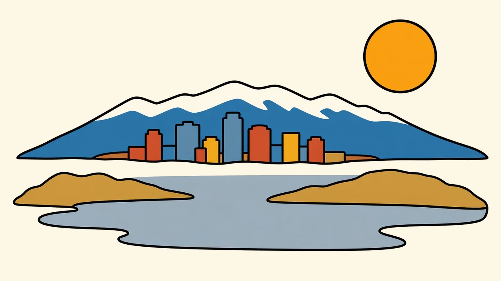
You’ve pulled over on the causeway to Antelope Island in the middle of the afternoon. The Great Salt Lake is flat and silver to the left and right of the road, so still in places that it’s hard to tell where the water stops and the sky begins. Far out, the shoreline is a white crust. Ahead, the island rises in tawny, rounded ridges, and on one slope, if you look long enough, the dark specks turn out to be bison, grazing as if the lake weren’t there.
Behind you, the Wasatch Range stands up like a wall over the city.
It’s quiet except for the wind, and you start to wonder. Why is this lake salty in the first place? And why does a whole city seem to keep an eye on how high its water stands?
Quick plan
- How long
- Two to three days.
- Best months
- May to June and September to October; January to March for skiing.
- Getting in
- Salt Lake City International is a few miles from downtown; I-15 and I-80 meet here.
- Winter note
- Expect haze in the valley during inversions, and traction rules in the canyons.
Things to do in Salt Lake City on a road trip, answered question by question
Nearly every first visit here starts with the same handful of questions. Here they are, answered in roughly the order you’ll have them. Each answer starts with the short version, then shows you the place, then gets practical.
Is the lake worth the drive?
Yes, especially near sunset, and Antelope Island puts you right out in it.
Antelope Island State Park is about 40 miles from downtown, roughly an hour, at the end of a causeway about 7 miles long. It charges a per-vehicle entrance fee. On the island, a free-ranging bison herd roams the grasslands, and pronghorn and birds are common too. Beaches of fine, pale sand lead to water so salty you float without trying.
The salt comes down to where the water can’t go. This is a terminal lake, which means rivers flow into it but none flows out. The rivers carry tiny amounts of dissolved minerals down from the mountains, and the water leaves only by evaporating into the dry air, leaving those minerals behind. Over thousands of years, the salt has built up. The result is the largest saltwater lake in the Western Hemisphere.
That’s also why its level matters. With no outlet, the lake depends on how much river water reaches it, and in recent decades its level has dropped as more water has been used upstream. A lower lake leaves more dry lakebed exposed, and it affects birds, brine shrimp, local industry and the dust that blows into the valley. That’s why people here pay close attention to it.
In warm months the shore can smell strongly of brine, and small brine flies swarm the edge of the water. They don’t bite. Then the sun drops toward the lake’s far western shore, and the whole lake turns pink and gold.
How does the street grid work?
Addresses count outward in blocks from one corner downtown, and once you know it, you can’t get lost.
That corner is the southeast corner of Temple Square, where Main Street meets South Temple. An address like “400 South” means four blocks south of that point, and “700 East” means seven blocks east. The streets are very wide. Local lore says they were laid out wide enough to turn a wagon and ox team around, and today the width makes downtown feel open and full of sky.
Temple Square sits at the center of the grid and at the center of the city’s history. It’s the headquarters of The Church of Jesus Christ of Latter-day Saints, and its temple has been closed for a multi-year renovation. The grounds and the new visitors’ center are open to visitors, and the church plans a public open house for the renovated temple from April 5 to October 1, 2027, with free tours that need a reservation. North of downtown, the state Capitol’s dome sits on its hill above the city. Between the two, City Creek runs through a narrow park and downtown’s shopping blocks.
Once you’ve got the grid, the city really does feel like a map you can read.
How close are the mountains?
Very close. The canyon mouths are about half an hour from downtown, and the ski areas less than an hour.
The Wasatch rises straight up from the east edge of the valley, and several canyons cut into it. Big Cottonwood and Little Cottonwood canyons, to the southeast, lead to ski areas famous for deep, dry powder in winter and to wildflower trails and alpine lakes in summer. From October 1 to April 30, cars in both canyons need snow-rated tires or chains on board, and avalanche-control work sometimes closes the roads, so check UDOT before you head up. Millcreek Canyon, closer in, is a narrower canyon with picnic spots and trails.
Park City is about 31 miles east on I-80, roughly 45 minutes, with a historic mining-era main street and ski slopes above it, and makes an easy day trip.
What surprises winter visitors most is the inversion. Cold air settles into the valley and traps haze under it, sometimes for days. Drive up a canyon, often less than half an hour, and you rise out of the gray into bright sun and blue sky.
Where should you wander?
Start with these ten neighborhoods.
Downtown and Temple Square
Downtown is on the grid around Temple Square, with wide streets, office towers, theaters, shopping blocks and the creek. The TRAX light rail runs through the middle of it.
The Avenues
Above downtown, the Avenues climb steeply on a tighter grid of tree-lined streets with Victorian and early-1900s houses. The higher you go, the better the views back over the valley.
Capitol Hill and Marmalade
Below the Capitol, these small, historic streets have some of the city’s oldest homes, many of them adobe or brick, tucked onto slopes steep enough that a few streets give way to stairways.
Central Ninth
Just south of downtown, around 900 South and 200 West, Central Ninth is a small, walkable pocket of independent shops, cafes and murals.
9th and 9th
At 900 South and 900 East, 9th and 9th is a compact neighborhood corner of cafes, bookstores and small shops, surrounded by blocks of bungalows.
15th and 15th
Farther east, at 1500 South and 1500 East, near the East Bench, is another small corner with cafes, a bookstore and leafy residential streets.
Sugar House
Sugar House centers on a large park with a pond and views of the mountains, plus shopping streets and older commercial blocks. The S-Line streetcar connects it with TRAX.
The Granary District
On the west side of downtown, the Granary District’s old warehouses and industrial buildings are being turned into breweries, studios and event spaces.
The University area and Red Butte
On the east bench, the University of Utah campus sits below the foothills. Red Butte Garden, a botanical garden, is close by, and trails climb into the hills.
Millcreek and the canyon mouths
In the southeast suburbs, Millcreek sits at the mouth of its namesake canyon, and a few miles south the Big and Little Cottonwood roads begin climbing out of the valley.
The grid makes hopping between them easy: count the blocks on the street signs and you’ll know how far you’re walking.
Can you get a drink, and what’s the food like?
Yes, you can get a drink. Utah’s rules are just different, and the food has some local specialties worth trying.
In a restaurant, alcohol is served to people who are eating there. Bars don’t require you to order food, though they must have it available, and they’re for adults 21 and older. Grocery and convenience stores sell beer up to 5 percent alcohol. Stronger beer, wine and spirits are sold to take away only at state-run liquor stores and smaller package agencies, and the state stores close on Sundays and holidays.
For food, look for:
- Fry sauce: a pink mix of ketchup and mayonnaise served with fries and burgers all over the state.
- Funeral potatoes: a cheesy potato casserole with a crunchy topping, a staple of potlucks.
- Utah-style scones: fried dough served hot with honey butter, not the baked kind.
The valley also has a big Pacific Islander community, especially Tongan and Samoan, and many Mexican and other Latin American families, and their cooking shows up across the city.
Order the fry sauce once, and you’ll understand why it’s everywhere.
Getting there and around: what’s the easiest way in?
Fly into Salt Lake City International and take the train downtown, or drive in on I-15 or I-80.
By air: Salt Lake City International Airport (SLC) is about 8 road miles west of downtown. The TRAX Green Line light rail runs from the airport into downtown, past Temple Square.
By road: I-15 runs north to south through the valley, and I-80 crosses east to west, east to Park City and Wyoming, and west across the salt flats to Nevada. I-215 loops around the valley, and I-84 heads northwest toward Boise.
From nearby cities:
- Boise, Idaho: about 340 miles, roughly 5 to 5.5 hours.
- Las Vegas: about 421 miles, roughly 6 to 7 hours.
- Denver: about 521 miles, roughly 8 to 9 hours.
By train: The California Zephyr, Amtrak’s daily Chicago to Bay Area train, calls here late at night westbound and before dawn eastbound. FrontRunner commuter trains run north and south along the Wasatch Front from Monday to Saturday.
With the grid, the TRAX lines and the mountains always to the east, you won’t need much more than that.
What’s it like to make a life here?
Busy, outdoorsy and growing, with a cost of living that has climbed fast.
The economy leans on tech and software, finance, health care and life sciences. Outdoor-industry businesses, government and the university, and logistics along the interstates add many more jobs. Housing costs have risen quickly, but the city still runs below the big West Coast metros.
In exchange, people here get ski areas less than an hour from an international airport, a clean, walkable downtown grid, a young population and big outdoor country in every direction. Look east down almost any downtown street, and the Wasatch closes the view.
Any tips before you go?
A few.
- Inversions: If the valley is hazy in midwinter, head up a canyon into the sun.
- Canyon traffic: On powder days, traffic backs up in the Cottonwood canyons, so go early and check UDOT before you leave.
- The grid: Spend five minutes learning how the address numbers work.
- Dry air: Keep a bottle of water handy, and wear sunscreen in every season.
- Sundays: Some businesses close or keep shorter hours on Sundays, and the state liquor stores close. Plan ahead.
- The lake: Go near sunset, and bring water. In summer, the shore can be buggy.
- Heading north: If you’re driving toward Jackson in winter, check WYDOT 511 before choosing the shorter route over Teton Pass, which is steep and can close for avalanche control.
On the Rockies and parks route
Rockies and parks route: Denver to Glacier National Park. Previous: Moab, about 234 miles, roughly 4 to 4.5 hours via I-15, US-6 and US-191. Next: Jackson, Wyoming, about 273 miles, roughly 5 to 5.5 hours via I-80 east to Evanston, then north through Star Valley on US-89 and the Snake River Canyon.
Pair it with:
- Park City: a day trip about 45 minutes east.
- Antelope Island: a half day for the lake and the bison.
- West Yellowstone: for readers heading north, about 321 miles, roughly 5 to 5.5 hours via I-15 and US-20.
- Las Vegas: for readers coming up I-15 from the south.
- Zion in winter: a southern Utah park trip.
What’s the one question you’d want answered before a first trip here?
Common questions
What are the best things to do in Salt Lake City on a road trip?
Drive the causeway to Antelope Island for bison and sunset over the Great Salt Lake, walk downtown from Temple Square to the Capitol, wander neighborhoods such as the Avenues, 9th and 9th and Sugar House, hike or ski in Big and Little Cottonwood canyons, and take a day trip to Park City.
How far is Antelope Island from downtown Salt Lake City?
About 40 miles, roughly an hour, north on I-15 and then west across a causeway about 7 miles long to the island. It's a Utah state park with a per-vehicle entrance fee, and the island is home to a free-ranging bison herd.
What is Salt Lake City like in winter?
Snowy in the mountains and often hazy in the valley. Deep powder falls in the Cottonwood canyons, where ski areas are less than an hour from downtown. Cold-air inversions can trap haze over the city for days, while the canyons above sit in sunshine. From October 1 to April 30, Big and Little Cottonwood canyons require snow-rated tires or chains in the car, so check UDOT before you drive up.
Can you drive from Salt Lake City to Yellowstone or Grand Teton in a day?
Yes, as a long driving day. West Yellowstone is about 321 miles, roughly 5 to 5.5 hours, via I-15 and US-20. Jackson, beside Grand Teton, is about 273 miles, roughly 5 to 5.5 hours, via I-80 and US-89. Most of Yellowstone's roads close to cars from November to spring, so check the park's road dates before you plan it.
How far is Salt Lake City from Boise, Las Vegas and Denver?
Boise is about 340 miles, roughly 5 to 5.5 hours, via I-84. Las Vegas is about 421 miles, roughly 6 to 7 hours, via I-15. Denver is about 521 miles, roughly 8 to 9 hours, via I-80 or across central Utah and western Colorado on I-70.
What is the cost of living like in Salt Lake City, and what are the main jobs?
Living costs have risen quickly, mostly because of housing, but the city still runs below the West Coast metros. Major fields include tech and software, finance, health care and life sciences, outdoor-industry businesses, government and the university, and logistics.