01 City Guides Colorado
Things to Do in Denver on a Road Trip: City and Mountains
Summary
Denver is a big city that keeps measuring itself against the mountains on its western edge, right down to the step on the Capitol that marks a mile up. This guide sorts the best things to do in Denver on a road trip into three days at three speeds: a fast city day, a slow neighborhood day and a mountain day. The weather is dry and sunny, every season gets its turn, and in winter snow can fall and melt in the city within days while the mountain roads stay wintry.
You start counting at the bottom of the Capitol’s west steps, mostly out of habit. One, two, three. The granite is warm under the noon sun, and the thin, dry air means that by the tenth step your mouth already wants water. Eleven, twelve. People pause here and there to take photos of their shoes.
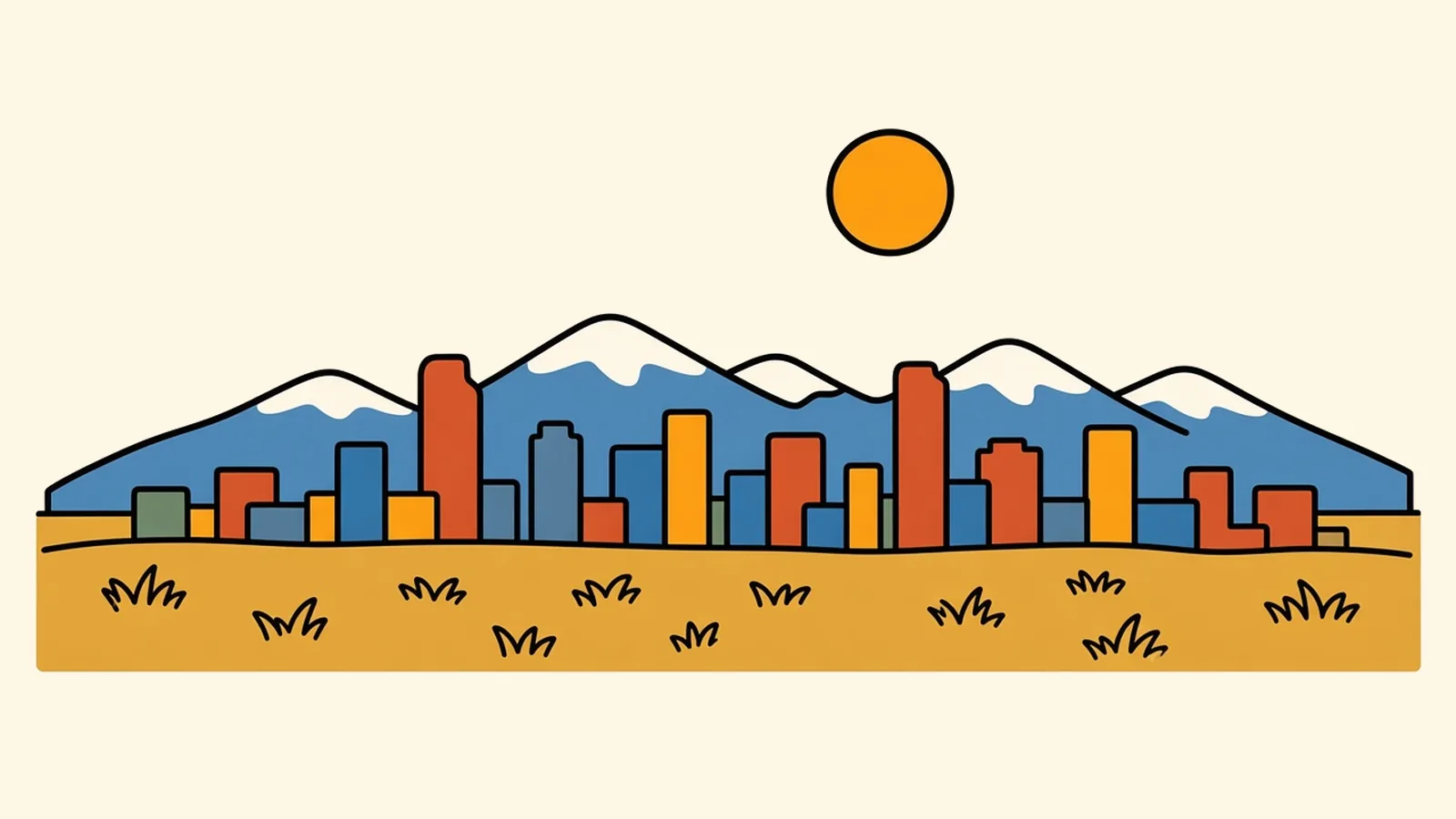
At the top you turn around, and the whole western sky is mountains. The Front Range runs from one edge of your vision to the other, a long blue wall with snow along the crest, and Civic Center Park and the city spread out flat in front of it.
Then you look down, and there’s the puzzle. A step a few rows below you carries carved words saying it sits one mile above sea level. Other steps have markers too, each from a different time. A city famous for one number, it turns out, keeps checking where that number actually is.
Quick plan
- How long
- I’d give it two or three days, one for each speed below.
- Best months
- June and September; winter if you’re adding ski days.
- Getting in
- Denver International Airport; I-25 and I-70; about 70 miles from Colorado Springs.
- Altitude
- Extra water, strong sunscreen and an easy first day.
Getting there and getting your bearings
Plenty of people meet Denver from the air first, so start there. Denver International Airport (DEN) sits out on the plains about 26 road miles northeast of downtown. RTD’s A Line commuter train links the airport with Union Station in about 37 minutes, with trains about every 15 minutes through most of the day, so you don’t need a car until you’re ready to leave the city.
By road: I-25 runs north to south along the Front Range, and I-70 crosses east to west, out across the plains in one direction and straight into the mountains in the other. I-76 angles off to the northeast.
From nearby cities:
- Colorado Springs (to the south): about 70 miles on I-25, roughly 1 to 1.5 hours.
- Cheyenne, Wyoming (to the north): about 100 miles on I-25, roughly 2 hours.
- Albuquerque (far to the south): about 445 miles on I-25, roughly 7 to 8 hours.
By train: Union Station is a stop on Amtrak’s California Zephyr, which runs daily each way between Chicago and the San Francisco Bay Area, crossing the Rockies west of the city.
Once you’re here, getting your bearings is simple. The mountains are always west. Broadway splits the city’s east and west addresses. Downtown’s streets run on a diagonal grid that follows the old riverbank, and the rest of the city is laid out square to the compass. If you get turned around, look for the mountains and you’ll find west again.
Things to do in Denver on a road trip: three days, three speeds
Denver is easiest when you stop trying to do it all at one pace. Give the city one quick day, the neighborhoods one slow day, and the mountains one long, high day. Each needs a different tempo.
The fast day: the city. Start at the Capitol. Climb. Count. The puzzle on the steps has a plain answer. The carved words on the 15th step come from a 1909 survey. A later survey put a marker on the 18th step, and one in 2003 moved it to the 13th. In 2026 a federal survey for the country’s new, more precise elevation reference put the mile on the 17th step, and that’s where the new permanent marker is meant to go. None of the old markers is exactly wrong. The tools just kept getting better.
Cross Civic Center Park to the Golden Triangle. The art museum’s angular wing points like a shard toward the sky, and the central library stands nearby. Walk or ride the free 16th Street shuttle down to Union Station. Its great hall, from 1914, was restored and reopened in 2014 as a transit hub with a hotel above, and on any given afternoon it works as the city’s living room. Step out into LoDo’s brick warehouses. Hop on a light-rail train for a stop or two just to watch the city slide by. Done by dark.
The slow day: the neighborhoods. This is the day for wandering without a list, and the neighborhood guide below is built for it. Start with coffee somewhere you’ve never heard of, drift toward a market or a mural block, and let the afternoon go long. Save the end of it for City Park, east of downtown, where the lawn rises just enough that the downtown towers line up in front of the whole snowy range. The trick most first-timers miss is to go there in the last hour of light, when the mountains turn dark blue and the towers catch the sun.
The mountain day. This one starts early and gets bigger as it goes. Red Rocks Park is a city-owned mountain park about 16 miles west, near Morrison, where an amphitheater sits between two huge tilted slabs of red sandstone. The park is free and opens an hour before sunrise. On concert days the amphitheater closes to the public around 2 p.m., so go in the morning, climb the rows and watch joggers run the stairs in air that’s thinner still. From there, Golden sits at the foot of the foothills about 15 miles from downtown, and the road up Lookout Mountain climbs in switchbacks to a view back over the plains.
For the biggest version, aim for Rocky Mountain National Park. Estes Park, on the park’s east side, is about 65 miles from downtown, roughly 1.5 hours each way. In summer and early fall the park uses timed-entry reservations for the middle of the day. In 2026 that ran from May 22 to October 12, from 9 a.m. to 2 p.m., with a longer window for the Bear Lake Road corridor, and the 2027 dates hadn’t been announced as of November 2026, so check the park’s page for your year. Up on the tundra along Trail Ridge Road the air is so thin that a short walk leaves you gasping and grinning at the same time. That high road is a summer-and-fall affair: it closes to through traffic in winter (on November 13 for the 2026-27 season) and usually reopens in the last week of May, while Bear Lake Road stays open all year. Non-US residents 16 and older pay an extra $100 per person at the gate unless they carry an annual pass, so international readers should first see whether the America the Beautiful pass pays for itself.
Three days, three speeds. Chances are one of them will surprise you.
Denver neighborhoods, one at a time
LoDo and Union Station
Lower Downtown is a grid of red-brick warehouses turned into lofts, restaurants and bars, with Union Station’s hall at one end. Larimer Square’s string lights crisscross overhead after dark.
RiNo (River North Art District)
North of downtown along the South Platte, old industrial buildings are covered in murals that change from year to year. Food halls, breweries and studios fill the converted warehouses, and the side alleys are part of the gallery.
LoHi and Highland
Cross the pedestrian bridges over the highway and the river, and you’re in Lower Highland, with its rooftop patios and skyline views. Farther in, Highland has Victorian houses, small squares and old commercial corners.
Capitol Hill
Old mansions and brick apartment blocks line the streets east of the Capitol. Cheesman Park opens up a wide lawn with a pavilion and a clear view of the mountains.
Golden Triangle and Civic Center
Between the Capitol, the library and the art museum, this is the cultural district, with galleries and smaller museums tucked into the side streets. Civic Center Park hosts festivals and food trucks in warm months.
Five Points
Five Points has been the center of Black Denver for about a century. In the mid-1900s, Welton Street was packed with jazz clubs, and touring musicians who were barred from downtown hotels by segregation stayed and played here. Today the light rail runs down Welton past historic buildings, murals and newer restaurants.
Baker and South Broadway
South Broadway is a long strip of vintage and thrift shops, record stores, music venues and dive bars. Baker’s side streets have small Victorian houses with deep porches.
Washington Park
“Wash Park” has two lakes, formal flower gardens, a loop path busy with joggers and cyclists, and volleyball on the lawns. Bungalows fill the blocks around it.
Cherry Creek
Cherry Creek is a polished shopping and dining district beside the creek, with galleries and boutiques. The paved Cherry Creek Trail runs below street level, so you can walk or bike all the way back downtown along the water.
Tennyson Street, Berkeley and Sloan’s Lake
In the northwest, Tennyson Street’s galleries and cafes sit close to Sloan’s Lake, one of the city’s largest parks. At sunset the lake reflects the mountains.
Ten neighborhoods are too many for one slow day, so pick three that sit close together and save the rest.
Eating in a mile-high city
Green chile is the local staple. In Colorado it’s often a pork-studded stew poured over burritos and eggs instead of served as a sauce, and in late summer and fall roasters at markets turn chiles in big wire drums, filling whole parking lots with the smell. Mexican and Mexican American cooking runs deep on the west side and along Federal Boulevard. Brewing is part of daily life, with taprooms on many corners. Rocky Mountain trout and bison show up on plenty of menus.
One thing to know at the table: at a mile up, alcohol hits harder than you’d expect, especially on your first night.
Weather that changes its mind
Denver’s air is dry, and its sun is strong. In winter, snow can fall overnight, and by the next afternoon people are out in shirtsleeves on dry sidewalks. Mountain roads stay snowy long after the city has melted out. Spring swings between warm days and late snow. Summer days are hot and bright, and storms often build over the foothills in the afternoon, bringing quick rain and lightning before clearing again. Fall is crisp and golden, with aspens turning in the high country.
I’d pick September. The days are warm, the nights are cool, the summer storms have eased and the mountain roads are still open. Whatever the season, pack layers. The temperature can drop sharply the moment the sun goes behind a cloud.
Denver cost of living and the work people do
Denver’s economy is broad. Aerospace and defense are big here, and so are energy, tech and telecom, and finance. Health care is a major employer, and the state capital and a large federal complex in Lakewood, just west of the city, add many government jobs. Tourism and outdoor-industry businesses round it out, many of them run by people who moved here for the mountains.
Living here costs more than the national average, and housing is the main reason. Even so, it stays well short of what the priciest coastal cities charge.
The return on that rent: mountains within an hour, long sunny stretches in every season, a huge network of parks and trails, a young, active crowd and a food and music scene that keeps growing. It suits people who like to spend the morning at a desk and the afternoon in the hills.
Denver tips for a mile up
- Altitude: Carry a water bottle everywhere, go gently with alcohol on night one and save big hikes for day two or later. For more on getting used to thin air, see the altitude tips on the Santa Fe page.
- Sun: Wear sunscreen and sunglasses, even in winter.
- I-70 west: Weekend ski traffic and summer traffic can be heavy, so leave early. Check cotrip.org for closures before you go. From September through May, Colorado’s traction law applies on I-70 between Dotsero and Morrison, which means having suitable tires on all-wheel or four-wheel drive or carrying chains or another approved traction device.
- Timed entry: Book Rocky Mountain National Park ahead in season, or plan to arrive before or after the reservation window.
- Layers: Bring layers in every season. Midday warmth disappears quickly in the evening, in shade or when clouds roll in.
- Transit: Between light rail, the A Line and the free 16th Street shuttle, parking downtown is optional.
- Red Rocks: Check the event calendar before you go, since the amphitheater closes early on concert days.
- Summer storms: Lightning builds over the foothills in summer afternoons, so plan to be off exposed trails by early afternoon.
On the Rockies and parks route
Rockies and parks route: Denver to Glacier National Park. Next: Glenwood Springs, about 157 miles west on I-70, roughly 2.5 to 3 hours.
Pair it with:
- Santa Fe: about 390 miles south on I-25, roughly 6 to 7 hours, for a high-desert city with a very different mood.
- Boulder and Golden: easy day trips to the foothills, about 30 and 15 miles away.
- Rocky Mountain National Park: a long, high day out from the city.
- Moab: a red-rock add-on about 355 miles west, via I-70 and US-191.
City morning or mountain morning: which would you pick for your one free day?
Common questions
What are the best things to do in Denver on a road trip?
Spend one day downtown (the Capitol's west steps, the art museum and library in the Golden Triangle, Union Station and LoDo), one day wandering neighborhoods such as RiNo, Highland, Capitol Hill and Washington Park, and one day in the mountains at Red Rocks, Golden and Lookout Mountain, or Rocky Mountain National Park.
Can you do Rocky Mountain National Park as a day trip from Denver?
Yes. Estes Park, on the park's east side, is about 65 miles from downtown, roughly 1.5 hours each way. In summer and early fall the park uses timed-entry reservations for the middle of the day (in 2026, May 22 to October 12, 9 a.m. to 2 p.m., with a longer window for Bear Lake Road), so book ahead or enter before or after the window. Trail Ridge Road closes to through traffic in winter (it closed on November 13 for the 2026-27 season) and usually reopens in the last week of May; Bear Lake Road stays open all year.
Which Denver neighborhoods are best to explore on foot?
LoDo and Union Station, RiNo's mural blocks, Highland and LoHi across the pedestrian bridges, Capitol Hill around Cheesman Park, the Golden Triangle museums, South Broadway's vintage shops and the lake paths of Washington Park all work well on foot. Light rail and the free 16th Street shuttle connect the downtown pieces.
Is Denver worth visiting in winter?
Yes, if you like crisp, sunny days. Snow in the city often melts within a day or two, museums and restaurants run as normal, and the nearest ski areas are roughly one to two hours west on I-70, depending on traffic. Mountain roads are a different story: check cotrip.org before heading west, and know that Colorado's traction rules apply on I-70 in the mountains from September to May.
How do you get from Denver airport to downtown, and how far are the mountains?
RTD's A Line commuter train runs between the airport and Union Station in about 37 minutes, with trains about every 15 minutes through most of the day. By road the airport is about 26 miles northeast of downtown. The foothills begin about 15 miles west of downtown, so Red Rocks and Golden are well under an hour away.
What is the cost of living like in Denver, and what are the main jobs?
Denver costs more than the national average, mostly because of housing, but it still runs below the big coastal metros. The main fields are aerospace and defense, energy, tech and telecom, finance, health care, state and federal government, and tourism and outdoor-industry businesses.