08 City Guides Montana
Things to Do in Missoula on a Road Trip: River and Lakebed
Summary
Missoula is a university and river town built on the bed of a huge Ice Age lake, and the lake's old shorelines still show on the hills above it. This guide to things to do in Missoula on a road trip goes in order, from the Ice Age to now. Summers are for days on the river and fall brings color, while winters are snowy, with fog that settles in the valley.
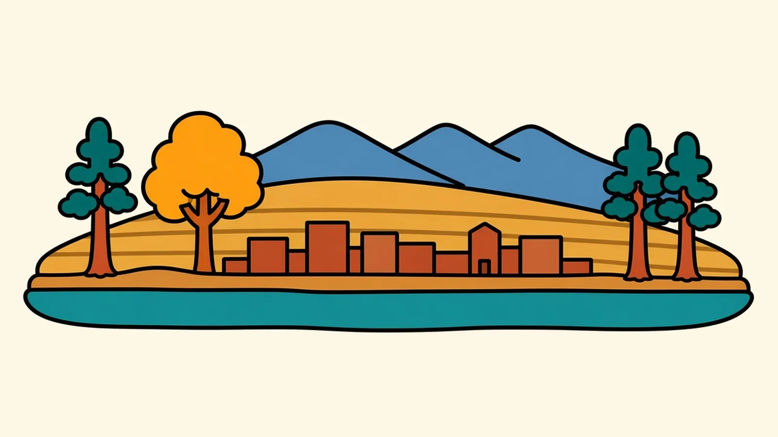
The lines only show up when the sun is low.
You notice them late in the afternoon, on the grassy hillside that rises right behind town. They’re faint and level, one above another, running straight across the slope the way nothing else in nature seems to run. They’re too even for cattle trails and too long for roads. With the light coming in sideways, each one throws a thin shadow, and suddenly there are dozens of them stacked up the hill like the rings left in a bathtub.
Below you, the town goes about its business. A river splits it down the center. Cars cross a bridge. Students cut across a campus below the hill.
Then the sun drops a little more, and the lines fade back into the grass.
So what drew them there, all at the same angle, so far above the river?
Quick plan
- How long
- A night or two.
- Best months
- July to September for the river; late September for fall color.
- Getting in
- Missoula’s airport is about 6 miles from town, on I-90 and US-93.
- Look up
- You can see the old lake shorelines on the hills, best in low sun.
Things to do in Missoula on a road trip, from the Ice Age to now
The whole town sits at the bottom of a lake that drained. This page runs in order through time: first the lake, then the rivers that outlasted it, the routes people traveled through the valley, and the modern roads. After that it covers the neighborhoods, the food and how to spend a day here. Missoula sits about 3,200 feet up, where several valleys meet. It’s home to the University of Montana and a downtown you can walk end to end along the river.
Read it from the top, and the hills will make sense by the time you get to the streets.
The lake that isn’t here
Those lines on the hills are shorelines.
Near the end of the last Ice Age, a lobe of a great ice sheet crept south and blocked the Clark Fork River far to the northwest. Water backed up behind the ice and filled the valleys of western Montana into a huge lake. At its highest, the water stood roughly 950 feet deep over the place where downtown is now. Waves cut level benches into the hillsides at each lake level, and those benches are the lines you see on Mount Sentinel and Mount Jumbo.
The ice dam didn’t hold. Again and again it failed, and the lake emptied in floods that tore west across Idaho, Washington and Oregon, carving canyons on the way to the Pacific. Then the ice moved back in, the lake filled again, and the cycle repeated. Each line on the hill marks one more level where the water stopped for a while.
Once you know what to look for, you’ll see the lines everywhere. I’d look for them in the low, slanting light of late afternoon, or the morning after a light snow.
Rivers that stayed
When the last of the lake drained, the rivers were left behind. The Blackfoot joins the Clark Fork just east of town, at the mouth of the canyon. The Clark Fork then runs straight through downtown, and the Bitterroot comes in from the south just west of town.
Downtown, beside Caras Park, the Clark Fork has a man-made standing wave, and on most summer days surfers and kayakers take turns riding it while people watch from the bank. Whether it’s working depends on how much water is in the river. Paved trails follow both banks through town, linking parks, bridges and the university. In summer, rafts and tubes drift right past downtown.
Many visitors miss one thing about the river: it’s at its most dangerous early in the season. Spring runoff is cold, fast and high, and the gentle summer floats don’t really begin until the water drops.
The lake is long gone, but the water still runs the town.
Trails and tracks
Long before the town, this valley was a meeting place of routes. It lies within the homelands of the Salish and Pend d’Oreille peoples, whose nations are now part of the Confederated Salish and Kootenai Tribes, and the canyon east of town was part of a long-used route east through the mountains toward the buffalo country of the plains. To the southwest, the Lolo Trail crossed the mountains into Idaho, a route the Nez Perce used for generations.
The railroad came through the valley in the 1880s. Rail yards and the neighborhoods built around them grew up north of downtown, and freight trains still rumble along the north side of downtown.
The old routes are still there; they just carry different traffic now.
Today’s roads
The canyon east of town now carries I-90, which follows the river through it toward Butte and Bozeman. To the west, I-90 runs on into Idaho and Spokane. US-93 runs north to Flathead Lake, Kalispell and Whitefish, and south up the Bitterroot Valley. US-12 climbs west over Lolo Pass into Idaho. It’s generally open all year and plowed in winter, though chains are sometimes required. MT-200 heads east up the Blackfoot.
By air: Missoula Montana Airport (MSO) is about 6 miles northwest of downtown.
Drive times:
- Spokane: about 198 miles, roughly 3 to 3.5 hours.
- Helena: about 113 miles, roughly 2 hours.
- Kalispell: about 121 miles, roughly 2 to 2.5 hours.
- West Glacier: about 137 miles, roughly 2.5 to 3 hours.
Rail and bus: Amtrak doesn’t serve Missoula at present; intercity coaches stop here on I-90 runs.
Every one of these roads follows a valley that the ice and water shaped first.
Missoula neighborhoods, one by one
Downtown
Higgins Avenue is downtown’s spine, lined with old brick buildings, bookstores and cafés, and it runs down to the river. At Caras Park on the riverfront you’ll find the hand-carved carousel, a summer event lawn and the viewing spot over the wave.
The Hip Strip
Just across the Higgins Avenue bridge, south of the river, the Hip Strip is a short stretch of shops, cafés and restaurants with a slightly offbeat streak.
The University District
Tree-lined streets of older houses run east toward campus at the foot of Mount Sentinel. Fall is the season for a walk here, when the maples and the hillside both change color.
The Northside and Westside
Across the tracks from downtown, these older rail-yard neighborhoods have modest houses, small businesses and a strong neighborhood feel.
The Rattlesnake
The Rattlesnake is a creek valley a few minutes north of downtown, with homes along the lower end. Farther up, the main trailhead leads into a national recreation area with trails for hiking, biking and skiing.
The Slant Streets
South of downtown, a neighborhood of streets running on the diagonal breaks the grid. It was laid out parallel to an old wagon road, and it’s one of the prettiest places in town for a walk.
The Bitterroot and Lolo, south of town
South along US-93, Lolo and the Bitterroot Valley are a separate string of small towns, ranches and orchards beneath the steep Bitterroot Range. Hamilton is about 48 miles away, roughly an hour.
Eating and drinking in a river town
Late summer means huckleberries. The wild berries usually ripen from late July through early September, with August the surest month, and once they do they turn up in pies, shakes, jams and just about anything else. In summer, Saturday markets downtown sell local produce, flowers and baked goods.
The taproom culture is strong, with small breweries and tasting rooms scattered around downtown and the Northside. From the mining tradition of Butte, a couple of hours east, comes the pasty, a folded pastry filled with beef, potato and onion that was made to be eaten underground.
Come hungry in August.
Settling into Missoula: jobs and housing
The University of Montana and health care, with the city serving as a regional medical center, are the anchors of the economy. Public jobs, including a big Forest Service presence, plus tourism, outdoor-gear makers, small tech firms and the arts fill out the rest. Housing costs have climbed, and homes and rentals are hard to find.
The draw is a river right through downtown, mountain trails that start in town, an unusually deep books-and-arts scene and an easygoing, friendly pace. After work, the river is a few blocks away, and so is the trailhead.
Smart moves in Missoula
- Wildfire smoke: Some late summers bring smoke. Check the air quality, and keep a few days flexible.
- River safety: Spring runoff is cold and fast. Wear a life jacket on every float.
- The trail to the M: The hike up Mount Sentinel to the letter is short and steep. In summer, start early, before the heat.
- Bikes: The town is easy to bike, with trails along the river.
- Winter inversions: Fog can sit in the valley for days. Drive up out of it to find the sun.
- Huckleberry season: Look for berries from late July into early September.
- Heading north: US-93 along Flathead Lake is two lanes and busy in summer, so leave extra time.
- Glacier fees: Glacier adds a per-person charge for non-US residents; the America the Beautiful pass guide explains when a pass covers it.
On the Rockies and parks route
Rockies and parks route: Denver to Glacier National Park. Previous: Bozeman, about 203 miles east on I-90 over Homestake Pass and through Butte, roughly 3 to 3.5 hours. Next: Whitefish, about 137 miles, roughly 2.5 to 3 hours via I-90 briefly and US-93 along Flathead Lake’s west shore through Polson and Kalispell.
Pair it with:
- Flathead Lake: about 70 miles north at Polson, on the way to the Flathead Valley.
- The Bitterroot Valley: small towns and orchards south on US-93.
- The Bison Range: about 48 miles north, managed by the Confederated Salish and Kootenai Tribes, with a scenic drive open in the warmer months.
- Glacier National Park: about 137 miles north to West Glacier.
What’s the oldest landscape you’ve ever stood in?
Common questions
What are the best things to do in Missoula on a road trip?
Look for the Glacial Lake Missoula shorelines on the hills above town, walk or bike the riverfront trails, watch surfers and kayakers on the man-made river wave downtown, ride the hand-carved carousel at Caras Park, wander the Hip Strip and the University District, and hike the Rattlesnake or the trail up Mount Sentinel. Day trips include Flathead Lake, the Bitterroot Valley and the Bison Range.
Where can you see the Glacial Lake Missoula shorelines?
On Mount Sentinel and Mount Jumbo, the two hills on the east side of town. They show up as faint, level lines across the slopes, and they're easiest to see in low-angle light early or late in the day, or after a light snow.
How long is the drive from Missoula to Glacier National Park?
West Glacier is about 137 miles, roughly 2.5 to 3 hours, north on US-93 along Flathead Lake and through Kalispell. Check Glacier's current road status and entry rules before you go.
Missoula or Bozeman: which is better for a visit?
Missoula has a river running through downtown, Ice Age geology all around and an easier drive to Glacier. Bozeman is closer to Yellowstone and to several mountain ranges, and it has the big dinosaur museum. They're about 203 miles apart on I-90, roughly 3 to 3.5 hours, so plenty of people see both.
How far is Missoula from Spokane, Helena and Kalispell?
Spokane is about 198 miles, roughly 3 to 3.5 hours, west on I-90. Helena is about 113 miles, roughly 2 hours. Kalispell is about 121 miles, roughly 2 to 2.5 hours, north on US-93.
What is the cost of living like in Missoula, and what are the main jobs?
Housing has grown expensive and is in short supply. The main jobs are at the University of Montana, in health care (the city is a regional medical center), in government and the Forest Service, and in tourism, outdoor-gear businesses, small tech firms and the arts.