09 City Guides California
Los Angeles Road Trip Guide: The City, Freeway by Freeway
Summary
Los Angeles is the ninth stop on this road trip and the first time you see the Pacific. This guide to things to do in Los Angeles on a road trip reads the basin one freeway at a time, so you can pick two corridors instead of trying to see everything. Fall is the best season, then spring, and the page ends on the I-5 down to San Diego.
The fog is still on the hill when you start climbing. It hangs gray and low over Silver Lake, and the concrete steps between the houses are damp under your shoes. Bougainvillea spills over the railings. Somewhere above you a radio plays softly, and somewhere below a leaf blower starts up.
Halfway up you notice your shadow. The light has changed. The gray is thinning from the top down, and the sun works through it in patches until, all at once, the hillside is bright. Palms appear along the ridge. Across the basin the haze lifts in layers, and a freeway shows through the gaps, already full of cars and glinting in the sun.
You stop at the top to catch your breath and look out. The city doesn’t end in any direction you look.
Read Los Angeles the way it’s actually laid out: by freeway.
Quick plan
- Plan on
- Three nights at least, covering two freeway corridors.
- Best seasons
- September to November, then March to May.
- Free picks
- Griffith Observatory, and the Getty Center with a timed reservation.
- Mileage
- About 270 miles from Las Vegas, about 120 to San Diego.
In on the 15: Past the outlet stores at Primm, the desert towns of Baker and Barstow. Near Baker you can turn off into Mojave National Preserve, which charges no entrance fee, for dunes and Joshua trees. Then the road climbs to Cajon Summit, more than 4,000 feet up, and drops through the pass into the Inland Empire. Warehouses, then citrus-colored stucco neighborhoods, then I-10 or I-210 west, with the San Gabriels standing to your right. The first tall palms appear, and the haze ahead turns gold.
Things to do in Los Angeles on a road trip, one freeway at a time
Locals say “the 10” and “the 405,” with the article, as if the freeways were landmarks. In a way they are. Each one ties together a string of neighborhoods, and the easiest way to plan a short visit is to pick a couple and stay near them. The 110 takes you through downtown’s theaters and museums and up the Arroyo. The 101 runs past Hollywood to Griffith Observatory. The 10 carries you from the Eastside clear across to the beach cities. The 405 is the road to the Getty Center. Route 1 follows the coast. Pick two corridors, I’d say, and leave the rest for another trip.
The 110 → downtown & the Arroyo · The 101 → Hollywood & the hills · The 10 → Eastside to the ocean · The 405 → the Getty · Route 1 → the coast
The 110: downtown, north to the Arroyo and south to the port

Downtown is denser than you expect. Old movie palaces line Broadway, their marquees and terra-cotta fronts still standing. On Grand Avenue, a cluster of museums and a steel-skinned concert hall sit on Bunker Hill. Food halls feed office workers at lunch. Little Tokyo and the Arts District sit just to the east.
North of downtown, the 110 becomes the Arroyo Seco Parkway, which opened in 1940 and is often called the first freeway in the West. It’s narrow and curving, with short on-ramps and old stone bridges, a reminder of how long the city has been building around the car. It runs up the Arroyo past Highland Park toward Pasadena.
South, the 110 runs down to San Pedro and the harbor. Together, the Los Angeles and Long Beach ports form the busiest container port complex in the country, and the cranes look enormous from the water’s edge.
Merge: The traffic isn’t constant, but it’s close. Drive before 7 a.m. or between about 10 a.m. and 2 p.m., and you’ll move. Leave at 5 p.m. and you’ll sit. Plan your day around those windows. The freeways sort themselves out by lane, too: keep right through the interchanges if you’re unsure, and let the signs, not the map’s last-second instructions, choose your exit.
The 101: Hollywood and the hills
The 101 runs through Hollywood, which is busy, touristy and a bit gritty, with the stars of the Walk of Fame set into its sidewalks. Studio tours run in Burbank and Universal City, just over the hill.
Above it all is the Hollywood Sign, on the slopes of Mount Lee. You get the best views from Griffith Observatory and from Lake Hollywood Park. The letters themselves are fenced and closed to the public, so don’t try hiking to them.
Griffith Observatory sits on the south slope of Griffith Park, one of the largest city parks in the country. Admission is free. Go on a weekday afternoon, walk the terraces, and stay for sunset. As the lights come on across the basin, the grid of the city finally makes sense.
The 10: east to Boyle Heights, west to the ocean

The 10 runs straight across the city. To the east, it passes Boyle Heights, where mariachi musicians have long gathered at Mariachi Plaza waiting to be hired. To the west it runs just south of Koreatown, passes West Adams’ grand old houses and Leimert Park, then reaches Santa Monica. There the freeway ends in a tunnel and drops you onto the coast highway beside the beach.
The full run from Boyle Heights to the beach can take ten minutes or an hour. Between the Eastside and the ocean, the city changes language, food and architecture several times, and nobody announces it.
The 405 and the hills above it
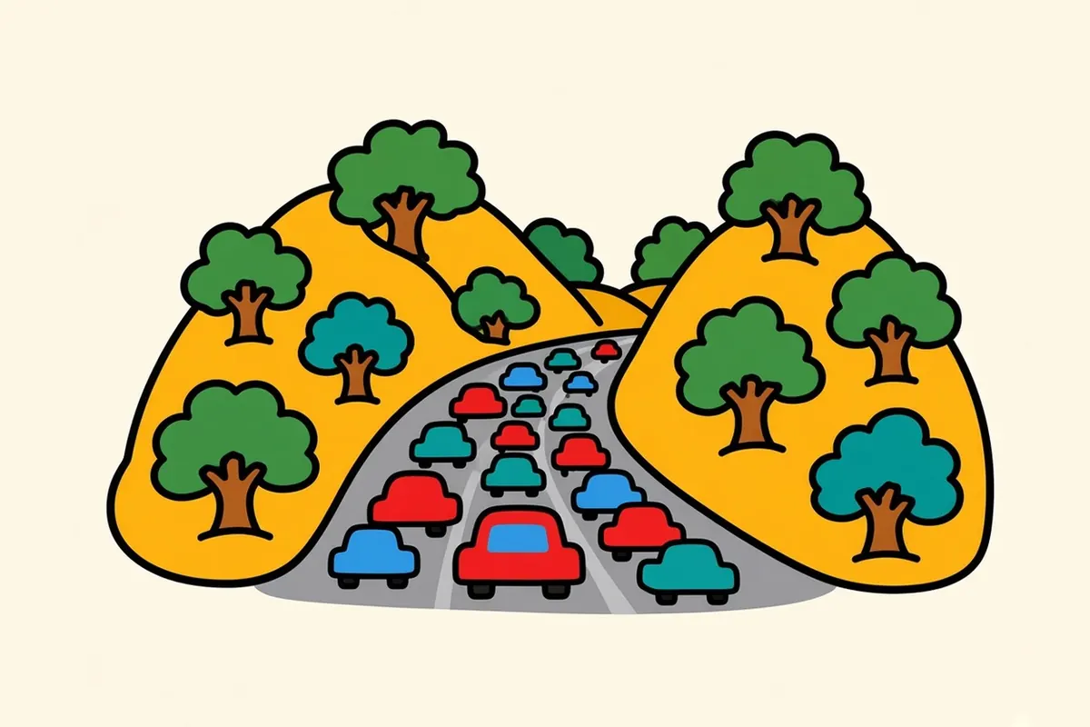
The 405 cuts through the Sepulveda Pass, some of the most notorious traffic in the city. Above it, on a hilltop, is the Getty Center, a gleaming art museum with gardens and views from downtown to the ocean. Admission is free with a timed reservation, and there’s a parking fee. It’s closed on Mondays. Some pavilions are closed for renovation, so check what’s on before you go. A small tram carries you from the parking garage up the hill.
Below the hill, the Westside spreads out in every direction: Brentwood and Westwood, the university campus, the grid of Sawtelle’s noodle shops, and Culver City beyond. From the Getty’s terraces on a clear afternoon, you can follow the 405 north into the San Fernando Valley and south toward the airport, a line of red and white lights that never really stops.
Route 1: the coast road
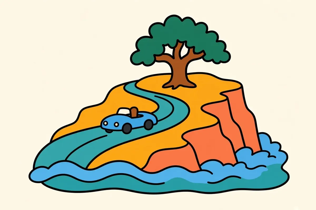
From Santa Monica, Route 1, the Pacific Coast Highway, runs north between the bluffs and the sand toward Malibu. The Palisades, along this stretch, and Altadena, in the foothills above Pasadena, are still rebuilding after the Palisades and Eaton fires of January 2025, so drive through slowly and respect any closed streets. Caltrans repair work continues on the highway between Sunset Boulevard and Malibu, with reduced speeds and occasional lane closures, and paving work runs farther up the Malibu coast. Check the day’s conditions before you set out.
Drive it in the late afternoon, with the low sun ahead of you and the ocean on your left.
Los Angeles neighborhoods by corridor
Downtown (off the 110)
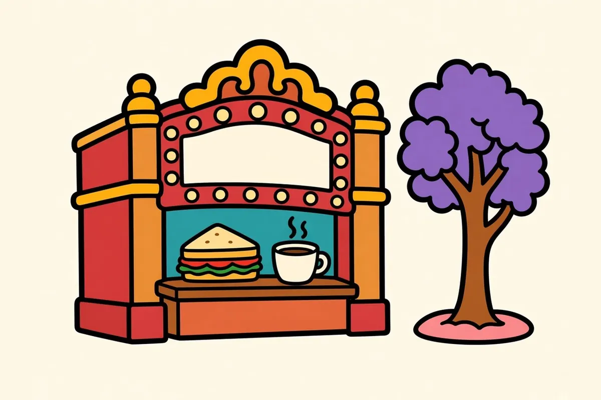
Downtown has the historic theaters on Broadway, the museums and concert hall on Grand Avenue, and food halls packed at lunchtime. Walk it by day; some blocks empty out after dark.
Little Tokyo (off the 110)

Little Tokyo is one of the oldest Japanese American neighborhoods in the country. A National Historic Landmark district along East First Street, it has shops, temples, museums and noodle counters.
Arts District (off the 110)

Old warehouses east of Little Tokyo now hold galleries, studios, breweries and restaurants. The walls are covered in murals.
Highland Park (off the 110)
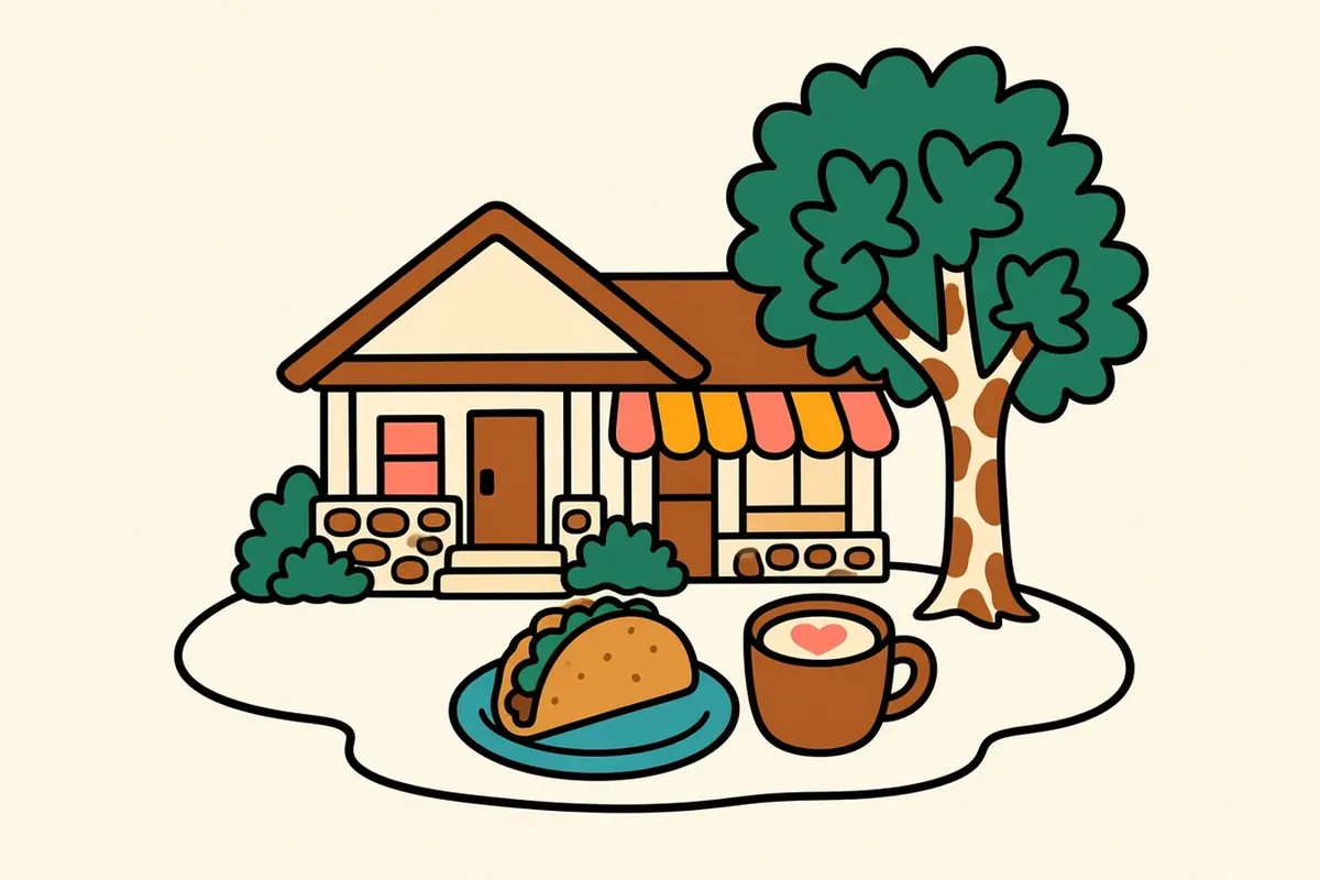
Up the Arroyo, Highland Park mixes Craftsman bungalows, old storefronts along York Boulevard and Figueroa Street, taquerias and newer cafés. It’s one of the Eastside’s most layered neighborhoods.
San Pedro (off the 110)

At the south end of the 110, San Pedro is a harbor town with a working waterfront, fish markets, a lighthouse on the bluffs and long views out to sea.
Hollywood (off the 101)

Tourist crowds, theaters and the Walk of Fame share the streets with apartment blocks and small businesses. Come once, then move on to the hills.
Los Feliz and Griffith Park (off the 101)
At the foot of the park, Los Feliz has walkable streets lined with bookstores and cafés. Trails run from the neighborhood up toward the observatory.
Silver Lake and Echo Park (off the 101)
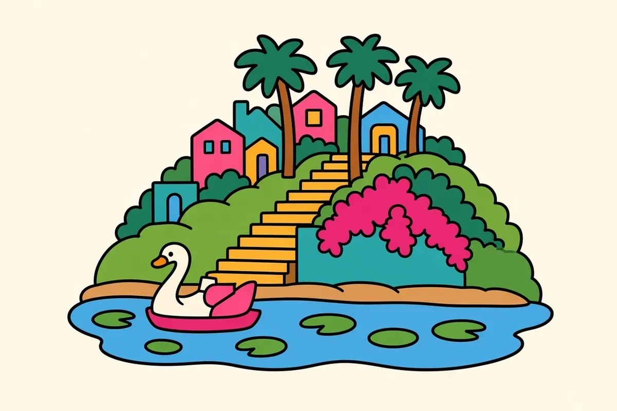
These hilly neighborhoods are known for stair streets, a reservoir with a walking path, independent shops and a lake in Echo Park with paddle boats.
Koreatown (off the 10)
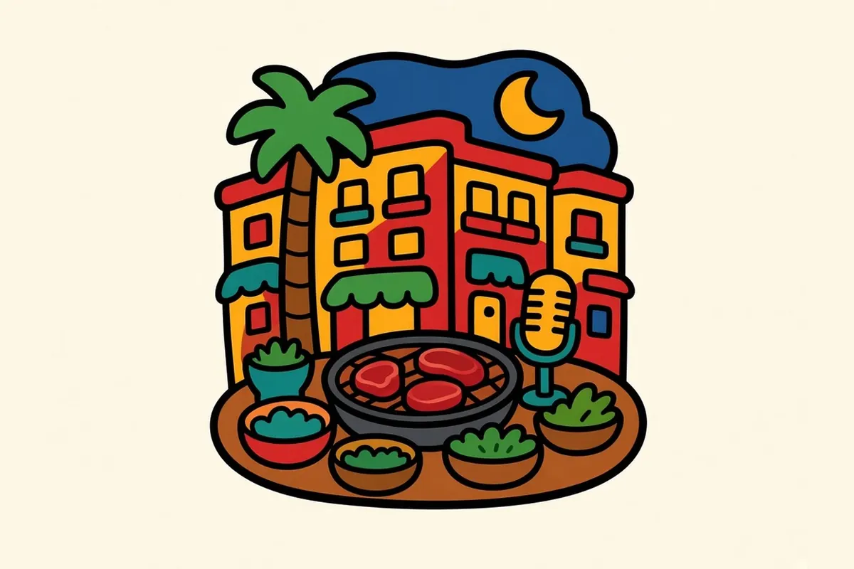
Koreatown is dense and lively, with Korean barbecue, karaoke and late-night spots, and big old apartment buildings along Wilshire Boulevard. It’s one of the most walkable parts of the city.
Boyle Heights (off the 10)
East of the river, Boyle Heights is a historic Mexican American neighborhood with Mariachi Plaza, murals, family bakeries and street vendors.
West Adams and Leimert Park (off the 10)
West Adams is known for grand old houses. Leimert Park is a center of Black arts and culture in Los Angeles, with galleries, music and a weekly drum circle on Sundays.
Venice and Santa Monica (off the 10)

At the end of the 10, Santa Monica is a separate city, with a pier, a beachfront bike path and the ocean. Venice, next door, has canals, a boardwalk and a skate park.
What LA eats
Food is how Los Angeles shows how many cultures it holds.
Taco trucks park at curbs across the city, and regional Mexican cooking turns up everywhere: Oaxacan moles, Jalisco-style birria, mariscos from Sinaloa and Nayarit. Korean barbecue fills Koreatown. Thai Town in East Hollywood has noodle shops and late-night menus. Glendale’s Armenian bakeries sell flaky pastries and lahmajoun.
Little Tokyo and the Sawtelle area on the Westside both have ramen, sushi and Japanese sweets. Farmers markets run somewhere almost every day, piled with citrus and avocados.
Sunlight, May gray and fire weather
Fall (September to November) is the best season. The air is warmest and clearest, the beaches are less crowded, and the ocean is at its warmest. Spring is next: green hills and mild days.
From May into July, a gray marine layer often hangs over the beaches until midday, as you saw from the stairs, before burning off. Summer is hot inland and pleasant near the water. Winter brings mild days, occasional heavy storms and snow dusting the San Gabriels.
In fall and winter, dry Santa Ana winds can bring Red Flag warnings for fire danger. Check conditions before you hike.
Earning a living in the basin
Entertainment and media are what most people picture, and they’re a big industry, but only part of the picture. The ports and logistics, aerospace and defense, tech along the Westside’s “Silicon Beach,” health care and universities, fashion and apparel, tourism, and countless small businesses employ far more people altogether.
Los Angeles is one of the most expensive places in the country to live, mainly because of housing, and California taxes income. People keep finding ways to make it work, sharing housing or working several jobs, for the weather, the work and the chance to build something of their own.
Out on the 5: South through Orange County (the big theme park sits in Anaheim), then past the mission town of San Juan Capistrano. Then the road opens up. Past San Clemente, Camp Pendleton keeps a long open stretch of coast, with the ocean on your right and brown hills on your left. Then Oceanside and the beach towns of North County. You can also take the coast highway, or the Pacific Surfliner train, which hugs the bluffs; check its service first, since slides sometimes interrupt it. Far ahead, you start to catch a glimpse of a bay.
Getting around LA without losing your day

- Pick a base and two corridors: Every time you cross town, you lose time, so don’t try to see it all.
- Traffic windows: Drive before 7 a.m. or between about 10 a.m. and 2 p.m., and avoid rush hours.
- Parking signs: Read every sign on the pole. Street cleaning, permit zones and time limits are strictly ticketed.
- Metro: Rail lines reach downtown, Hollywood, Koreatown, Pasadena, Long Beach and Santa Monica. Pay with a TAP card or tap a phone or contactless card at the reader.
- Layers: A cool, gray morning at the beach can become a hot afternoon inland.
- The ocean: The water is cold most of the year. Swim near lifeguard towers and watch for rip currents.
- Fire season: During Red Flag warnings, some trails and canyon roads close. Check before you go.
- Griffith at sunset: Get there by midafternoon to park, or walk up from the Greek Theatre lot.
San Diego is the last stop of this trip, about two hours south, where the coast, and this trip, finally reach the border.
Which freeway would you call LA’s real main street, and why?
Common questions
What are the best things to do in Los Angeles on a road trip?
Pick two freeway corridors and stay close to them. Good choices include Griffith Observatory and the hills off the 101, downtown's theaters, museums and Little Tokyo off the 110, the Getty Center above the 405, and the beach cities at the west end of the 10 and along Route 1. Add the Arroyo Seco and Highland Park if you have a spare afternoon.
What are the best LA neighborhoods to explore?
Downtown, Little Tokyo, the Arts District, Highland Park and San Pedro off the 110; Hollywood, Los Feliz and Silver Lake and Echo Park off the 101; and Koreatown, Boyle Heights, West Adams and Leimert Park, and Venice and Santa Monica along the 10.
Can you visit Los Angeles without a car?
Partly. Metro's rail lines link downtown with Hollywood, Koreatown, Little Tokyo, Pasadena, Long Beach and Santa Monica, and you pay by tapping a TAP card or a phone. Buses and rideshare fill in the gaps. For a road-trip visit, the easiest plan is to park the car near your base and ride to one corridor at a time.
When is the best time to visit Griffith Observatory?
Go on a weekday afternoon and stay through sunset. The observatory is free and closed Mondays, and it's open from noon to 10 p.m. Tuesday through Friday and from 10 a.m. to 10 p.m. on weekends. Parking at the top is paid and fills early on clear evenings. A free lot near the Greek Theatre, about a mile below, works when there's no concert.
How long are the drives from Las Vegas to Los Angeles and from Los Angeles to San Diego?
Las Vegas to Los Angeles is about 270 miles on I-15 through Barstow and over Cajon Pass, roughly 4.5 to 5 hours without traffic; Sunday afternoons are slow. Los Angeles to San Diego is about 120 miles south on I-5, around 2 hours on a clear road and often 2.5 to 3. The Pacific Surfliner train runs the same coast.
What is the cost of living like in Los Angeles, and what are the main jobs?
Los Angeles is one of the most expensive places to live in the country, mostly because of housing, and California has a state income tax. The big employers are entertainment and media, the ports and logistics, aerospace and defense, tech, health care and universities, fashion and apparel, tourism, and many small businesses.