06 City Guides New Mexico
Albuquerque Road Trip Guide: Crest, Old Town & Route 66
Summary
Albuquerque is the sixth stop on this road trip, an hour south of Santa Fe and the start of the long run west on I-40. The best things to do in Albuquerque on a road trip line up across the valley, so this guide crosses the city from the mountain to the river to the volcanoes, with fall the best season and spring next. It ends on the drive west to Flagstaff.
First light finds you under the cottonwoods.
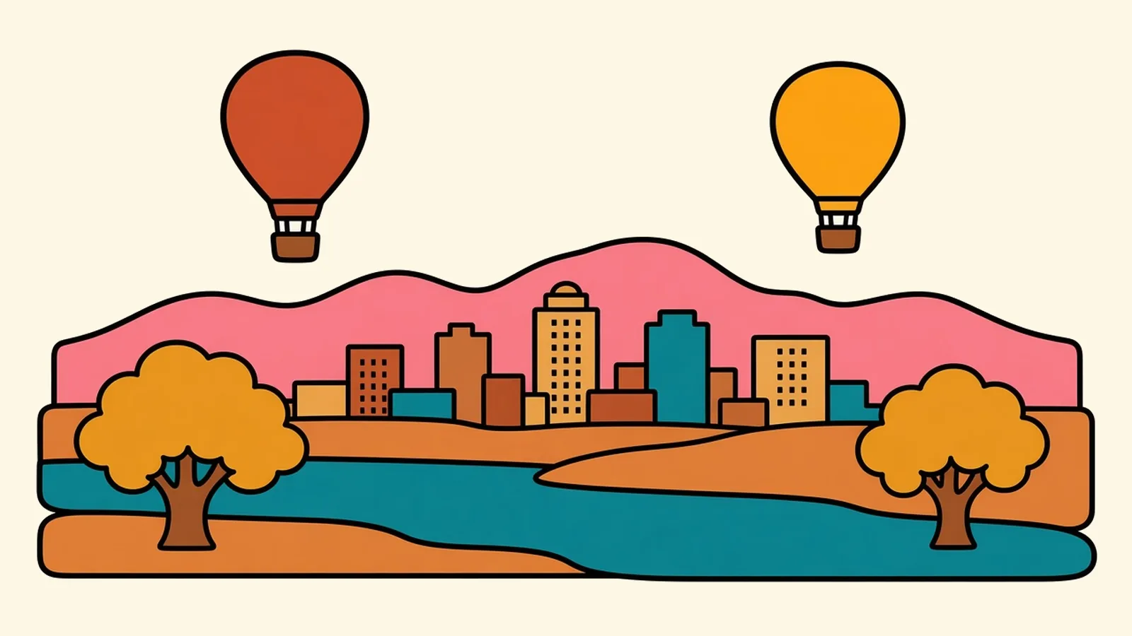
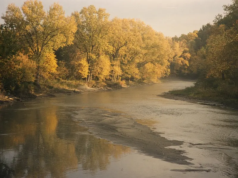
The trunks are huge and furrowed, the leaves overhead gone gold, and the path is soft with fallen ones. A few steps away the Rio Grande slides past, brown and quiet, wider than you expected in the middle of a city. A heron lifts off a sandbar. Somewhere out over the valley, a burner roars, and a hot-air balloon rises above the treetops, then another, drifting on the still morning air.
Turn around and look east. Across the rooftops, the Sandia Mountains stand up as one long wall, their face still in shadow. Look west and a low black mesa rises beyond the far bank, dotted with small volcanic cones.
You’re standing in the middle of Albuquerque’s story. To read it properly, start at the mountain and cross back over this river to the volcanoes.
Quick plan
- How long
- Two nights.
- Best months
- Late September through October, then April and May.
- If you’re short on time
- The tram at sunset, and a petroglyph trail the next morning.
- Drive in and out
- About an hour from Santa Fe; about 325 miles to Flagstaff.
Things to do in Albuquerque on a road trip, from the crest to the river
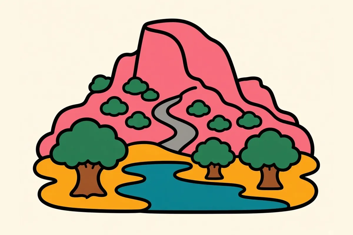
Albuquerque reads best as a cross-section. Start at the top of the Sandias and descend into the foothills. Head west along Central Avenue, the old Route 66, through Nob Hill and the university, into downtown and the old neighborhood of Barelas, then on to Old Town and its plaza. Cross the Rio Grande through the cottonwood forest called the bosque, and finish on the West Mesa among petroglyphs and volcanic cones. In early October the city’s balloon festival fills the morning sky, but calm fall mornings bring balloons over the valley well beyond festival week.
Crest → Foothills → Nob Hill → Downtown → Old Town → River → West Mesa
Coming down: the Sandias and the foothills
The Sandia Peak Tramway climbs 2.7 miles from the foothills to a top station at about 10,378 feet. The cars glide over cliffs and deep canyons. Go near sunset, when the rock face turns the pink the range is often said to be named for (sandía is Spanish for watermelon). The tram’s operators call it the longest aerial tram in the Americas. At the top, the air is thin and often 20 to 30 degrees colder than in the city, so bring a real layer even in summer.
There’s also a road up the back side of the mountain, NM-536, the Crest road. For now, though, it’s closed beyond the 10K Trailhead for forest-thinning work. The current order runs to mid-January 2027, and the Forest Service expects crest access to stay limited into fall 2027, so you can’t drive to the crest itself. Check the Forest Service’s alerts before planning around it.
Back at the base, the foothills are laced with trails: sandy paths through cholla and juniper, with the city spread out to the west. They’re best in the cool hours, with the sun low.
If you’ve just come down from Santa Fe
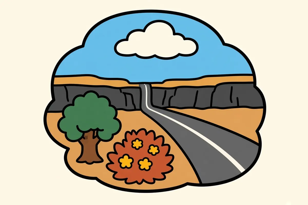
You’ve driven about 64 miles south on I-25 from Santa Fe, an hour or so. The highway drops off La Bajada into the Rio Grande valley, and from there the Sandias stay on your left the whole way in, a long wall of rock above the northern suburbs.
If you came the slow way, on the Turquoise Trail, a National Scenic Byway, you followed NM-14 along the mountains’ quieter eastern flank through old mining towns and joined I-40 east of the city in the mountain pass. Budget most of a morning or afternoon for it.
Car-free? Rail Runner trains connect Santa Fe with downtown Albuquerque. Check its current schedule.
Either way, this is where the crossing meets the interstate, and where the city’s east side gives way to the older core.
Albuquerque neighborhoods to explore, east to west
The Foothills and the Eastside
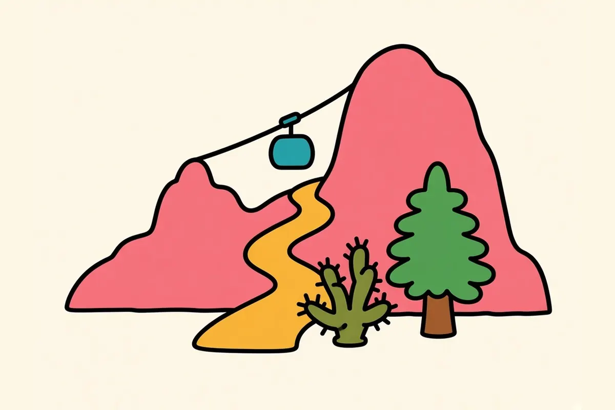
Along the base of the Sandias, the city meets open space. Trailheads, the tram base and quiet streets climb toward the rock, and the views west take in the entire valley.
International District
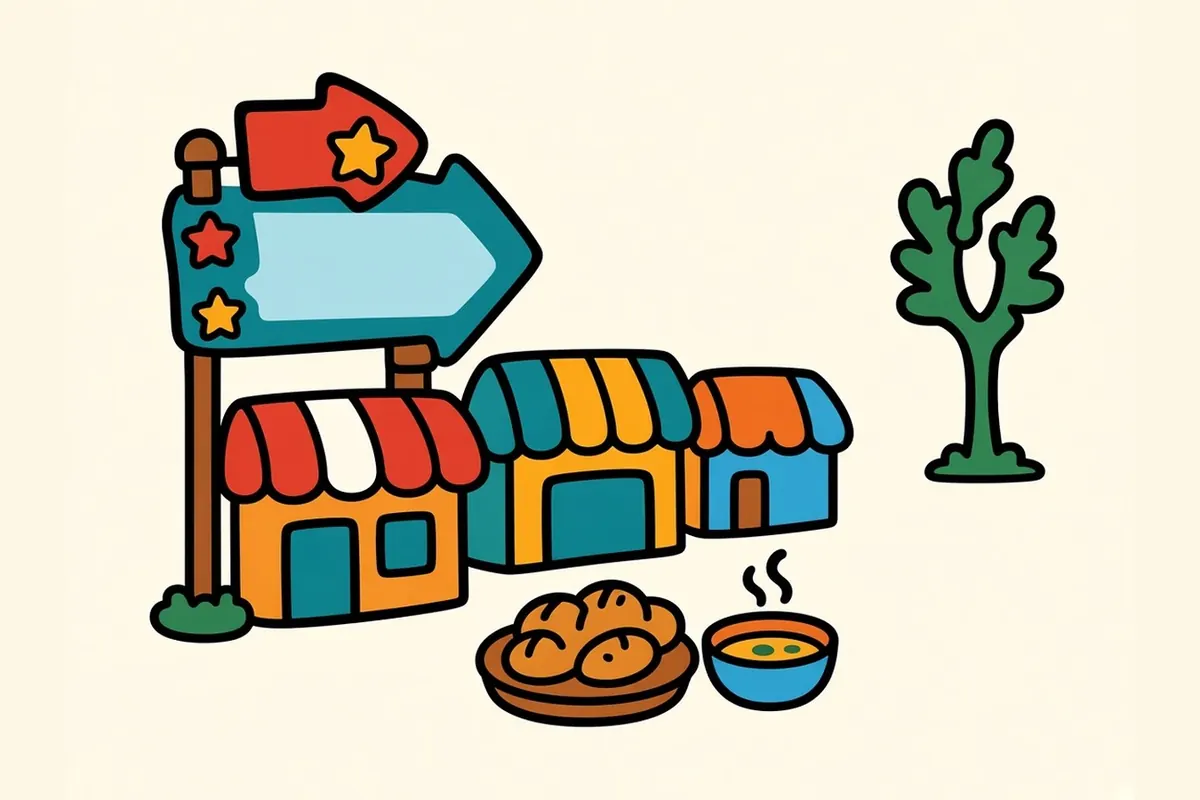
On the old East Mesa, along East Central, Route 66 motor courts once lined the road. Today the area is home to many immigrant communities, and their grocery stores, bakeries and restaurants line East Central, so a short walk here crosses a lot of the world’s kitchens.
Nob Hill

Nob Hill grew up in the 1930s and 1940s as a shopping strip along Route 66, and much of its streamline and neon character survives. Today it’s locally owned shops, galleries and restaurants, busiest in the evening when the signs light up.
University area
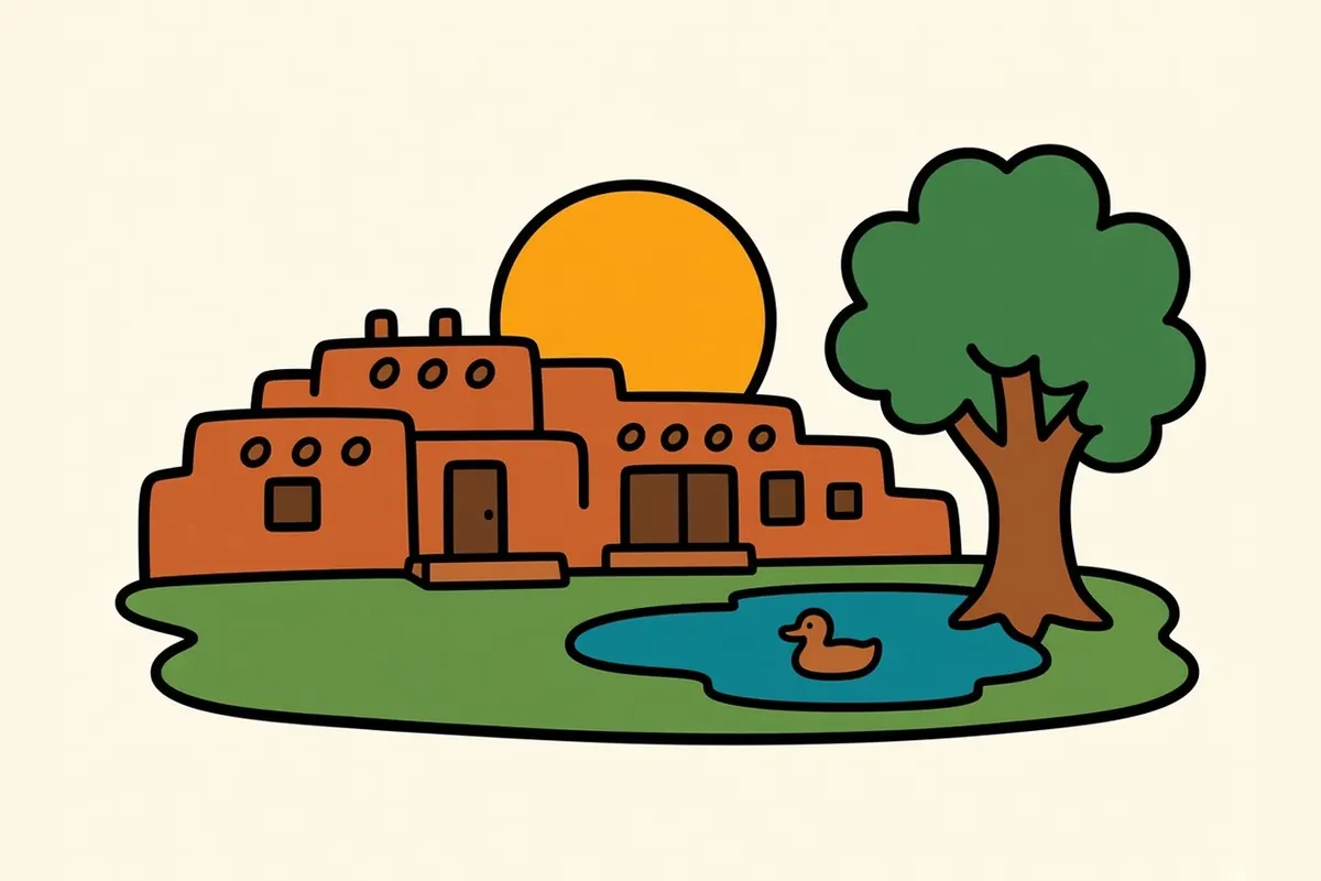
The University of New Mexico campus is a showcase of Pueblo Revival architecture: earth-toned buildings with rounded edges, wooden vigas and flat roofs. Several were designed by the architect John Gaw Meem, including the library. The grounds are open and easy to walk.
Downtown
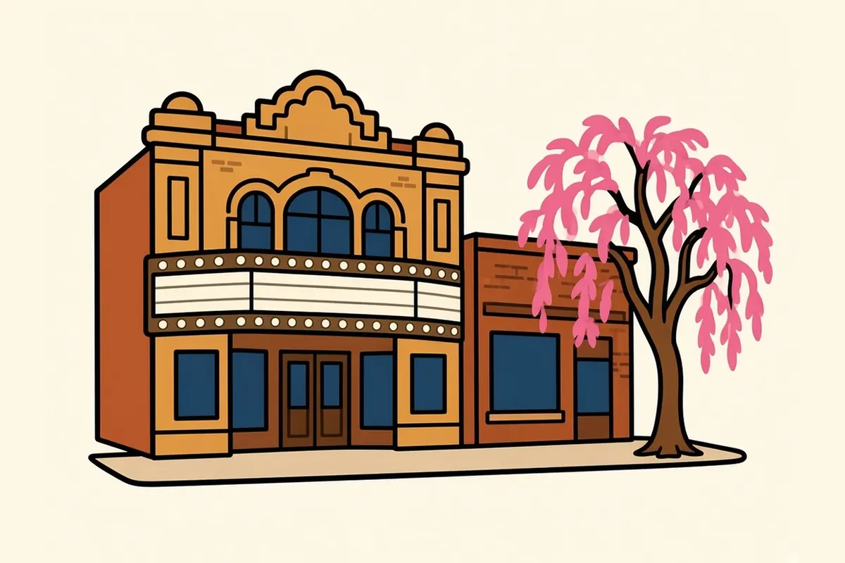
Downtown is the old railroad-era center on Central, with historic theaters, office buildings, new apartments and the transit center. It feels compact compared with the rest of the city.
Barelas and the South Valley
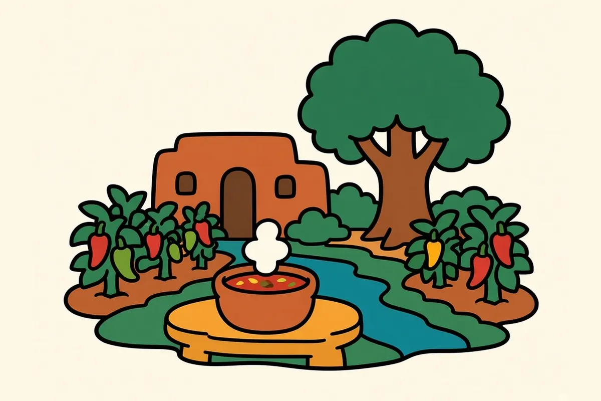
South of downtown, 4th Street carried the original Route 66 before 1937. Barelas, among Albuquerque’s oldest neighborhoods, is home to the National Hispanic Cultural Center and to New Mexican cooking that goes back generations. Farther south, the South Valley opens into fields and irrigation ditches.
Old Town
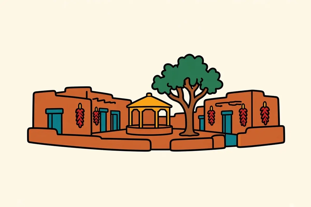
Old Town is where Albuquerque was founded in 1706. Its plaza is ringed by adobe buildings, with San Felipe de Neri Church, built in 1793, on the north side. Nearby are the city’s art and history museum, the natural history museum and a science center. The Sawmill area just east has newer shops and places to eat. A short drive north, the Indian Pueblo Cultural Center, owned and run by New Mexico’s 19 Pueblos, is the best first stop for anyone who wants to understand the Pueblo history behind everything else on this crossing.
North Valley, Los Ranchos and Corrales
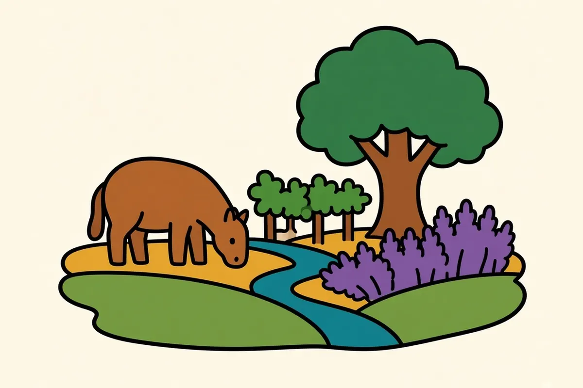
North along the river, the city loosens into farmland: irrigated fields, acequias, cottonwoods, horses, farmers markets and small wineries. Los Ranchos and Corrales feel like villages, though they’re only a short drive from downtown.
The Westside and West Mesa
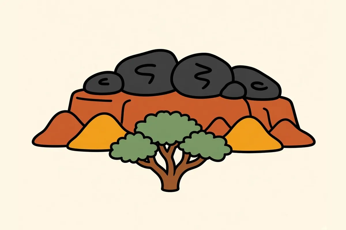
Across the river, the land climbs to the West Mesa, a long escarpment of black basalt left by old lava flows. Petroglyph National Monument protects thousands of images pecked into its boulders, most by ancestral Pueblo people and some by later Spanish settlers. Boca Negra Canyon has short, steep loops with images right beside the path. Rinconada Canyon is a longer, flat walk along the base of the rock, and Piedras Marcadas is quieter still. On top, the Volcanoes Day Use Area has trails up to the cinder cones that line the western horizon from almost anywhere in the city. In the morning, the low sun brings the carvings up in sharp relief. Beyond the mesa, I-40 starts its climb up Nine Mile Hill.
The river and the bosque
The Rio Grande runs right through Albuquerque, but you can miss it if you stay on the main roads. Step into the bosque, the cottonwood forest along its banks, and the traffic fades behind the trunks. The Paseo del Bosque trail, a paved path on the east bank, runs about 16 miles through the trees, and it’s flat and shady for walking or biking.
The Rio Grande Nature Center sits along the trail, with ponds and bird blinds, and the BioPark (zoo, aquarium and botanic garden) is near the river south of Old Town. In late fall the cottonwoods turn gold, the same canopy you started under, and the crossing comes full circle.
Green chile, all day

Albuquerque puts green chile on almost everything. Breakfast burritos come stuffed with eggs, potatoes, cheese and chile. Green chile cheeseburgers are a local classic. Red-chile-braised carne adovada and bowls of hominy-rich posole turn up on menus across town. Sopaipillas come with honey, and blue corn enchiladas are common.
Here, too, the question is “red or green?” Say “Christmas” to get both.
Albuquerque through the year
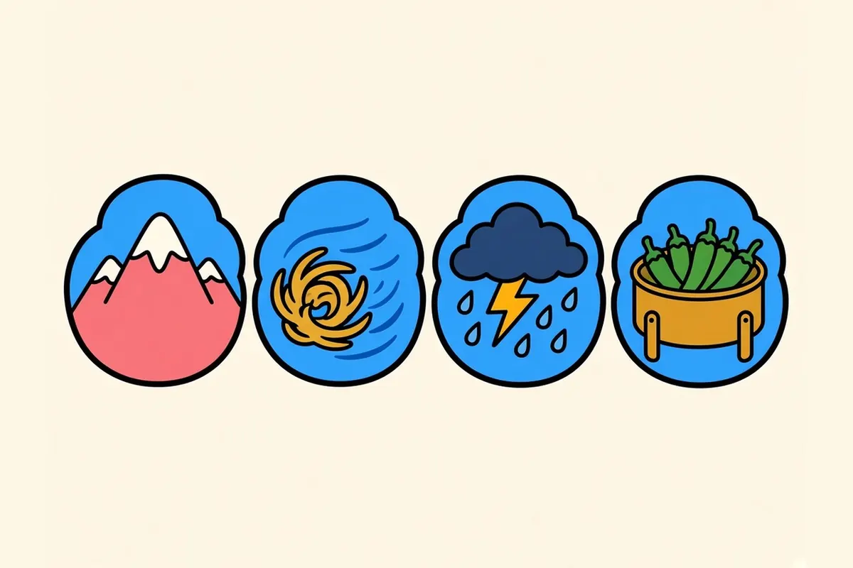
Fall is the best season: balloons on calm mornings, chile roasting, the cottonwoods turning gold and clear, warm days. The city’s October balloon festival runs October 2–10, 2027. Spring is pleasant but often windy and dusty. Summers are hot, with monsoon thunderstorms in July and August. Winter is mild and sunny in the city, with cold nights and snow on the crest.
Work and daily life in Albuquerque
Albuquerque runs on federal science and defense work. Sandia National Laboratories and Kirtland Air Force Base are among its largest employers, along with the University of New Mexico, its hospital and the region’s big health care systems. Government jobs are a steady base. Film and TV production has become a real industry, and a tech and startup scene is growing.
The cost of living is generally lower than in most big Western cities, and housing is more within reach.
The everyday rewards are plain: a mountain on one side and a river running down the center, mild sunny winters, New Mexican food, a mix of Pueblo, Hispanic and Anglo cultures, and room to breathe.
Albuquerque tips for a spread-out city
- It’s spread out: You’ll drive between neighborhoods, so group your day by side of town. I’d do the east side one day and the river and West Mesa the next.
- Tram timing: I’d ride up about an hour before sunset and bring a warm layer. It’s closed on Tuesdays and during maintenance and high winds.
- Petroglyphs: In summer, go early, since the trails have little shade. Stay on the trails and don’t touch the rock; the images are sacred to living Pueblo people.
- Balloon season: If your dates overlap with early October, book months in advance or look for a room beyond the city limits.
- Valuables: At trailheads and parking lots, keep valuables out of sight, as you would in any big city.
- Sun and wind: The sun is strong year-round, and spring winds can be dusty.
- Chile heat: Heat varies from batch to batch. Ask for it on the side if you’re unsure.
- Before I-40: Fill up and check road conditions. Services thin out west of Grants.
Up Nine Mile Hill and west on I-40
The crossing ends where the drive begins. I-40 climbs Nine Mile Hill out of the valley, and from the top the city drops behind you. West of the mesa, the land empties fast: Laguna Pueblo lands, then the black lava fields near Grants, with El Malpais National Monument a short detour south. The interstate crosses the Continental Divide at about 7,275 feet, then runs on to Gallup and the Arizona line. Petrified Forest National Park sits right off the highway, then come Winslow and a long rise toward the mountains.
It’s about 325 miles to Flagstaff, a drive of roughly 5 to 5.5 hours. One clock note: Arizona outside the Navajo Nation doesn’t observe daylight saving time, so from March to early November Flagstaff is an hour behind Albuquerque. In winter they match. Winter storms can bring snow and ice to the high stretches, especially from Gallup west, so check nmroads.com and az511.gov before you go, and read our winter comparison of I-10 and I-40.
Somewhere past Winslow, the first ponderosa pines appear along the shoulder.
Flagstaff, the next stop, is a mountain town wrapped in pine forest that works hard to keep its night sky dark.
Green chile on what? Tell us the strangest thing you’ve seen it on.
Common questions
What are the best things to do in Albuquerque on a road trip?
Ride the Sandia Peak Tramway at sunset, walk Nob Hill and Old Town, eat green chile in as many forms as you can, walk or bike the cottonwood forest along the Rio Grande, and see the petroglyphs on the West Mesa. The Indian Pueblo Cultural Center is a good first stop for Pueblo history.
Is the Sandia Peak Tramway worth it, and when should I go?
For most visitors, yes. The ride climbs 2.7 miles to the crest, and the view takes in the whole valley. Go up about an hour before sunset and bring a warm layer, since the top is much colder than the city. It's closed on Tuesdays, during spring and fall maintenance and in high wind, so check its site the day you go.
Which Petroglyph National Monument trails are best for a short visit?
Boca Negra Canyon has short, steep loops with many petroglyphs close to the path. Rinconada Canyon is a longer, flat walk along the base of the escarpment. Piedras Marcadas is quieter. The Volcanoes Day Use Area has trails to the cinder cones. Stay on the trails and don't touch the rock.
What are the best Albuquerque neighborhoods to explore?
From east to west: the Foothills, the International District, Nob Hill, the University area, Downtown, Barelas and the South Valley, Old Town, the North Valley with Los Ranchos and Corrales, and the West Mesa.
How long is the drive from Albuquerque to Flagstaff, and what's on the way?
About 325 miles west on I-40, roughly 5 to 5.5 hours of driving. You pass Laguna Pueblo, the lava country near Grants, the Continental Divide, Gallup and, in Arizona, Petrified Forest National Park and Winslow, before climbing into the pines. Check road conditions in winter.
What is the cost of living like in Albuquerque, and what are the main jobs?
Albuquerque is generally more affordable than most big Western metros, housing included. Major employers include Sandia National Laboratories, Kirtland Air Force Base, the University of New Mexico and its hospital, and health care, along with government, film and TV production, and a growing tech scene.