03 City Guides Texas
San Antonio Road Trip Guide: River, Missions & Neighborhoods
Summary
San Antonio is the third stop on this Texas road trip, and the best things to do in San Antonio on a road trip line up along one river, from the Pearl in the north to the Spanish colonial missions in the south. Fiesta San Antonio runs April 15–25, 2027, and the city is at its easiest in spring and late fall. This guide follows the river, covers the neighborhoods, food and tips, and ends with the long drive west on I-10 to El Paso.

The stone steps go down from the street, a dozen or so, worn smooth in the middle, and the city noise thins out with every one.
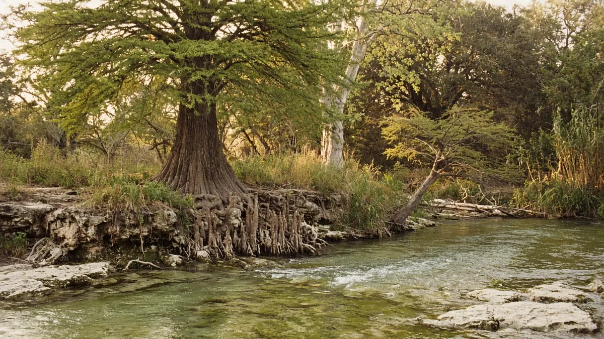
At the bottom you’re about a story below downtown. It’s early, and the River Walk is still in the hands of the people who keep it running: a worker hosing down a patio, a delivery cart rattling over the flagstones, the first tour barge idling empty at its landing. The water is green and still. Cypress trees lean over it, their knobby roots standing in the shallows, and the air is cooler down here than up on the street, damp and faintly mossy. Somewhere above, a bus sighs to a stop, but it sounds very far away.
Spanish missionaries and soldiers picked this spot in 1718 for its springs and its river, and nearly everything worth seeing in the city still lines up along its banks, from a former brewery in the north to colonial stone churches in the south. You can follow it on foot and by bike, and it’ll walk you through about three hundred years.
Quick plan
- How long
- Two days: the river and downtown, then the Mission Reach.
- Best months
- Spring and late fall.
- Fiesta 2027
- April 15–25.
- Drive in and out
- About 80 miles from Austin; about 550 miles on I-10 to El Paso.
Things to do in San Antonio on a road trip: follow the river

The Pearl and the Museum Reach
Start at the north end. The Pearl is an old brewery complex turned into a neighborhood of shops, restaurants, apartments and plazas, with a weekend farmers market and the brewhouse tower still standing over it all. From there the Museum Reach follows the river south toward downtown, past public art, a lock and dam that lifts the river barges, and the San Antonio Museum of Art, which occupies another old brewery.
The path here is quieter than the downtown loop, with fewer people and more birds. I’d save it for the slowest walk of the day, then come back after dark, when the Pearl’s plazas fill with outdoor tables and the old brick brewery buildings glow against the sky.
Downtown: the River Walk, the Alamo and the old plazas

The downtown loop is the river most people picture: a horseshoe bend lined with café tables and umbrellas, stone footbridges arching over the water, barges gliding past. It gets busy by lunchtime and stays lively well into the night.
Climb the steps to Alamo Plaza and you’re standing in front of the Alamo, the former Mission San Antonio de Valero, where a 13-day siege in 1836 ended in the deaths of the Texian defenders. The church is free to enter, but you need a free timed-entry reservation for each person in your group. Inside, the stone walls are cool and the room is hushed, and it’s smaller than most people expect.
Back up at street level, a short walk covers a lot of history: San Fernando Cathedral on Main Plaza, the Spanish Governor’s Palace, and Market Square, where the city’s market moved in the 1890s. La Villita, an early settlement on the river’s edge, is now a cluster of small stone and adobe buildings with artists’ studios.
King William and Southtown
Follow the river south of downtown and you reach King William, where German merchants built grand homes in the late 1800s. The neighborhood and its main street are named for Wilhelm I, King of Prussia. In 1968 it became San Antonio’s first historic district. The houses back onto the river, and the path runs right behind their gardens. Turn away from the water and the side streets hold more Italianate, Greek Revival and Victorian mansions under old pecan trees, a few of them open as house museums.
Just beyond, Southtown takes over with galleries, cafés and the Blue Star arts complex in old warehouses. On the first Friday of most months, galleries around Blue Star and South Alamo Street open late for an art walk, and the sidewalks fill.
The Mission Reach to Concepción, San José, San Juan and Espada
South of downtown the river changes character. The Mission Reach, completed in 2013, is about eight miles of restored riverbank, with native grasses and wildflowers in place of a straightened flood channel, and a wide trail running beside the water. It links four Spanish colonial missions, founded in the 1700s, that together make up San Antonio Missions National Historical Park. Along with the Alamo, they became a UNESCO World Heritage Site in 2015, the first in Texas.
Concepción comes first, its stone church still standing much as it did in the 18th century. San José, long called the Queen of the Missions, is the largest, with the park’s visitor center. San Juan has a small chapel and farm fields. Espada, the farthest south, is the quietest, and nearby you’ll find a stone aqueduct that still carries irrigation water over a creek. All four are free to enter, and all four are still active parishes. Away from the trail, the neighborhoods around them are modest homes, family businesses and churches, and the acequia, or irrigation ditch, that crosses that aqueduct still waters fields the missions once farmed.
By the time you reach Espada, downtown is eight miles and three centuries behind you.
Beyond the river: more San Antonio neighborhoods
Lavaca

Tucked between Southtown and the Hemisfair grounds, Lavaca is one of the city’s oldest residential neighborhoods: small cottages, porch swings and quiet streets that reward a slow loop on foot.
The Westside and the Deco District

West of downtown, the Westside is the historic heart of San Antonio’s Mexican American community, with family bakeries, murals and the Guadalupe Cultural Arts Center. To the northwest, the Deco District runs along Fredericksburg Road, once part of the Old Spanish Trail highway, with art deco storefronts and signs from the early road-trip era. Woodlawn Lake and its walking loop are close by.
Monte Vista and Alta Vista
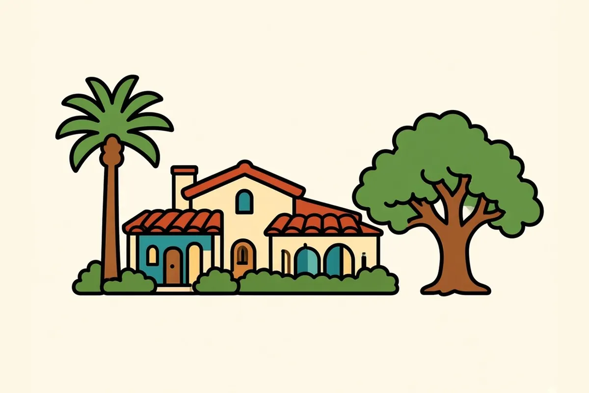
North of downtown, Monte Vista is a historic district of large homes built between about 1890 and 1930, in styles running from Victorian to Spanish Revival. Alta Vista, next door, trades the mansions for smaller bungalows and a quieter feel.
Tobin Hill and the St. Mary’s Strip

Tobin Hill sits between downtown and the Pearl. Its stretch of St. Mary’s Street has long been a run of bars, music venues and late-night food, popular with students and the city’s music crowd, and it’s a short hop from the river path when you want the evening to keep going.
What San Antonio eats

Tex-Mex has deep roots on San Antonio’s Westside, where generations of Mexican American cooks perfected the cheese enchiladas, rice, refried beans and combination plates that now define the style across Texas.
San Antonio was also home to the chili queens, women who set up lantern-lit stands on the city’s plazas in the 19th century and sold chili con carne and other dishes into the night. City sanitation rules shut the stands down in the early 1940s, but the memory still runs through the city’s food.
Puffy tacos are a local specialty: the tortilla is fried until it puffs up crisp and tender at the same time, then filled with seasoned beef or chicken, lettuce and tomato. On weekend mornings, many families pick up barbacoa, slow-cooked beef, with tortillas and salsa for breakfast.
Fiesta and the rest of the calendar

Fiesta San Antonio is the city’s big spring celebration, 11 days in April, with 2027’s run set for April 15–25. It honors the memory of the Alamo and the Battle of San Jacinto, fought on April 21, 1836, and it began in 1891 with the Battle of Flowers Parade. Today it includes parades on the river, a night parade through downtown, neighborhood events, music and food. Cascarones, eggshells filled with confetti, get cracked over people’s heads all week.
From the day after Thanksgiving into early January, the downtown River Walk is lit with holiday lights reflected in the water.
Summers run long, sticky and hot, and the river’s shade becomes the most valuable thing in the city. Spring and late fall are the easiest times to walk it.
Life and work in San Antonio

With its deep military roots, San Antonio still counts the bases of Joint Base San Antonio among its largest employers. Health care is another pillar, anchored by a large medical center and research complex on the northwest side. Financial services and insurance, tourism, and manufacturing round out the economy.
For many people the biggest draw is cost. Housing has generally been more affordable than in Austin, Dallas or Houston, and Texas takes no income tax from wages.
The rewards are quieter than a skyline: an unhurried pace, close family ties, and three centuries of history you can walk through on a lunch break. Traditions stick here, and the river runs through all of them.
Practical San Antonio tips

- Bike the missions: The Mission Reach trail is flat and wide, and San Antonio BCycle, the city’s bike share, has stations at each of the four southern missions.
- Mission hours: The missions and the visitor center at Mission San José generally open daily from 9 a.m. to 5 p.m., and are closed on a few major holidays. They are active parishes, so be respectful during services.
- The Alamo: Reserve your free timed entry for the church in advance, especially on weekends and holidays.
- River Walk early: Walk the downtown loop before about 10 a.m. for quiet paths and better light.
- Fiesta logistics: Book lodging early, check parade routes and street closures, and bring cash and sunscreen.
- Heat: In summer, do your outdoor walking early or late, and stay in the shade along the river.
- Parking: Downtown garages are easier than street parking, especially on event days.
- Before I-10 west: Fill the tank and plan fuel stops before you head toward El Paso. Our I-10 vs. I-40 winter guide covers the long West Texas stretches.
In from Austin, out toward El Paso

You came in on I-35 from Austin, about 80 miles and an hour and a half, past San Marcos and New Braunfels. You leave in the opposite direction, and on a very different scale.
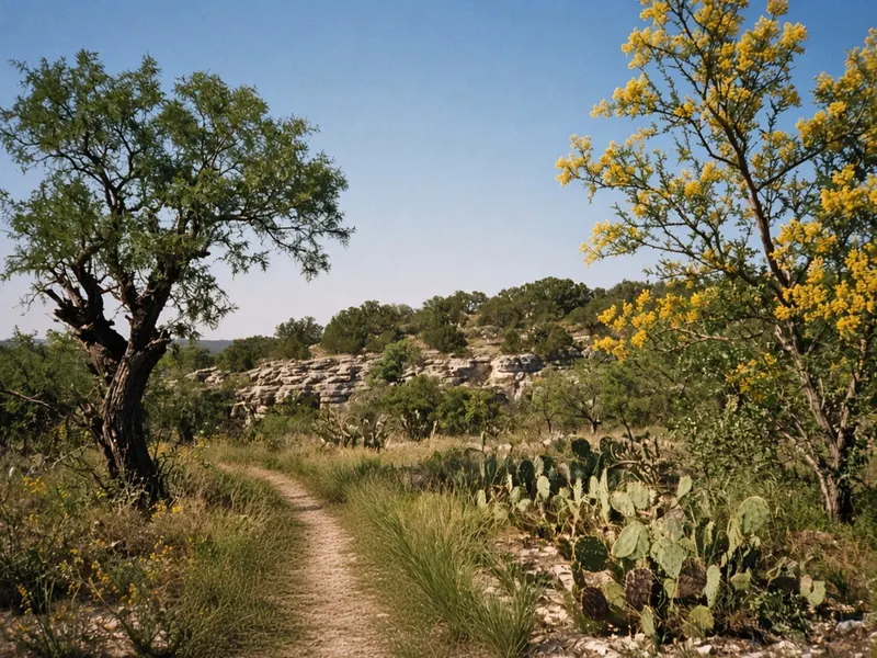
I-10 west from San Antonio climbs into the Hill Country, past Boerne and Kerrville, where the road curves through limestone hills and live oaks. Beyond Junction, the land opens onto the Edwards Plateau, a high, dry tableland of mesquite and scrub, with Sonora and Ozona far apart. Then come the long, empty miles of the Trans-Pecos, through Fort Stockton and Van Horn, where the ranges rise in the distance. Daytime limits reach 80 mph on long rural stretches.
Towns with fuel can be 90 to 120 miles apart, so top off at every one. Just west of Van Horn, at the Hudspeth County line, the clock drops back an hour to Mountain Time.
It’s 550 miles west on I-10 to El Paso, roughly 8.5 to 9 hours of driving. I’d split it with a night in Fort Stockton or another West Texas town, and then the desert opens all the way to the mountains.
Common questions
What are the best things to do in San Antonio on a road trip?
Walk the River Walk from the Pearl through downtown, visit the Alamo, wander the King William district, then bike or drive the Mission Reach to the four southern missions. Add a meal of Westside Tex-Mex and an evening on the river.
Can you walk or bike from the River Walk to the missions?
Yes. The Mission Reach trail follows the river about eight miles south from the edge of downtown to Mission Espada, passing Concepción, San José and San Juan. Walking the whole thing is a long day, so most people bike. The city's bike share has stations at each mission.
When is Fiesta San Antonio in 2027?
Fiesta San Antonio 2027 runs April 15–25, 2027. It's 11 days of parades, music, food and neighborhood events across the city.
What are the best neighborhoods to explore in San Antonio?
Downtown along the river, the Pearl, King William, Southtown, Lavaca, the Westside and Deco District, Monte Vista, Tobin Hill and the St. Mary's Strip, and the Mission Reach in the south.
How long is the drive from San Antonio to El Paso?
About 550 miles west on I-10, roughly 8.5 to 9 hours of driving without stops. Many travelers split it with an overnight in Fort Stockton or another West Texas town, and towns with fuel can be 90 to 120 miles apart.
What is the cost of living like in San Antonio, and what are the main industries?
Housing generally costs less than in Texas's other big metros, and Texas has no state personal income tax. Major employers include the military, health care and medical research, financial services and insurance, tourism, and manufacturing.