01 City Guides Texas
Houston Road Trip Guide: Bayous, Food and Neighborhoods
Summary
This Houston road trip guide covers a flat, humid, spread-out city strung along slow green bayous, where the best things to do sit in a dozen very different neighborhoods. Come between late October and April for the mildest weather, plan on a car, and let the food (Tex-Mex, Gulf seafood, Viet-Cajun crawfish, barbecue) set your route before you head west toward Austin.
A city sold on a bayou
Houston began as a sales pitch. In 1836 two brothers from New York bought land on a muddy, tree-choked bayou and advertised it as a future great city, though there wasn’t much of a town to show yet. The odd thing is that it worked, and once you know that, a lot about modern Houston starts to make sense. The rest of this Houston road trip guide is about the city that grew from that pitch, and about where its best cooking hides, which is rarely where first-time visitors think to look.
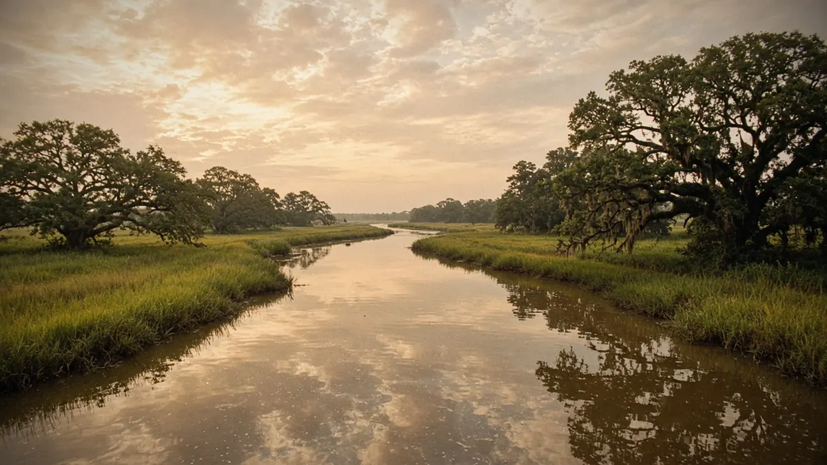
Start where the pitch was made. Step out early and the air is already soft and heavy, warm enough that your sunglasses fog the moment you leave the air conditioning. The skyline appears all at once, glass towers rising straight out of flat ground with no hill anywhere near them. Walk down to Buffalo Bayou and the traffic noise drops away. The water is brown and slow. Tall grass and big trees crowd the banks, and runners and cyclists slide past on the trails beneath the freeway overpasses.
Allen’s Landing, on downtown’s northern edge, is where Augustus and John Allen founded the town in August 1836, at the spot they promoted as the head of navigation. Everything since has spread outward from this water. Stand there for a minute and the sales pitch comes into focus: the bayou was the selling point all along.
Quick plan
- How long
- Two or three full days, plus one for Galveston.
- Best months
- Late October through April.
- Getting around
- Plan on a car; the Red Line covers downtown to the Medical Center.
- Drive out
- About 165 miles to Austin on US 290; about an hour to Galveston.
The shape of the city
Houston is enormous, nearly flat, and famous for having no citywide zoning. You see the result everywhere. A taco truck idles beside a glass office building. Old bungalows face brand-new townhomes. One strip mall holds a Nigerian grocery, a Vietnamese bakery and a Mexican panadería, side by side. Some people call it chaos. I’d call it the most honest thing about the place, because the city’s history and its newest arrivals share the same parking lot.
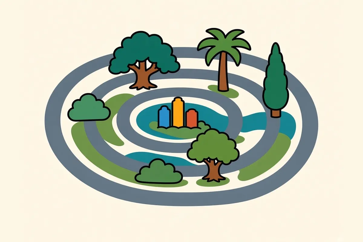
Two highway rings give it order. Loop 610 circles the core, and most neighborhoods you’ll want sit inside it. Beltway 8 runs much farther out. Between them, freeways shoot off like spokes: I-10, I-45, I-69, US 290, State Highway 288.
Watch the light. In the humid months the sky goes white by midday, and afternoon thunderstorms can stack up fast. Then evening turns everything gold over the bayous, and the heat finally lets go a little. That’s the hour to be outside.
Things to do in Houston, neighborhood by neighborhood
Downtown
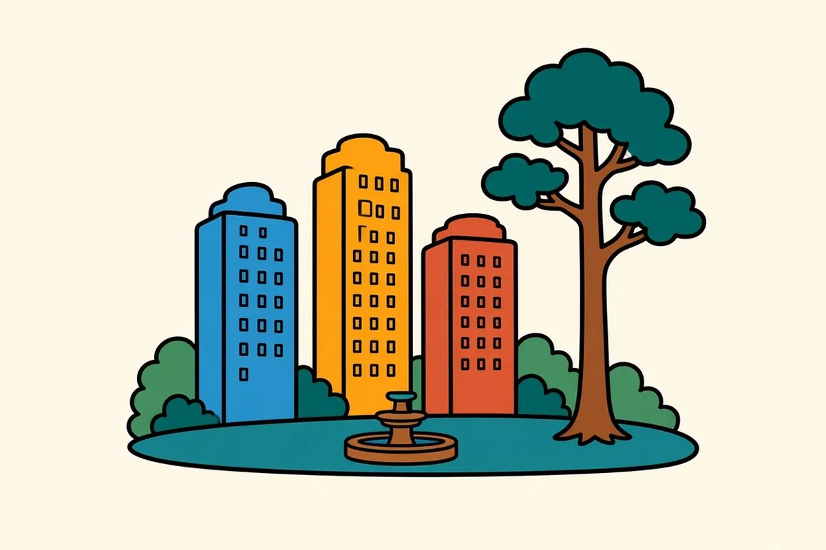
Towers throw long, cool shadows across the sidewalks. On weekdays the core fills with office workers. On evenings and weekends the streets can feel nearly empty, partly because much of the weekday foot traffic moves through a climate-controlled tunnel system below the buildings. Above ground, the Theater District and Discovery Green, the park beside the convention center, keep things lively after dark. Finish at Allen’s Landing, and you’ve walked from the city’s starting point to its tallest buildings in under an hour.
Midtown
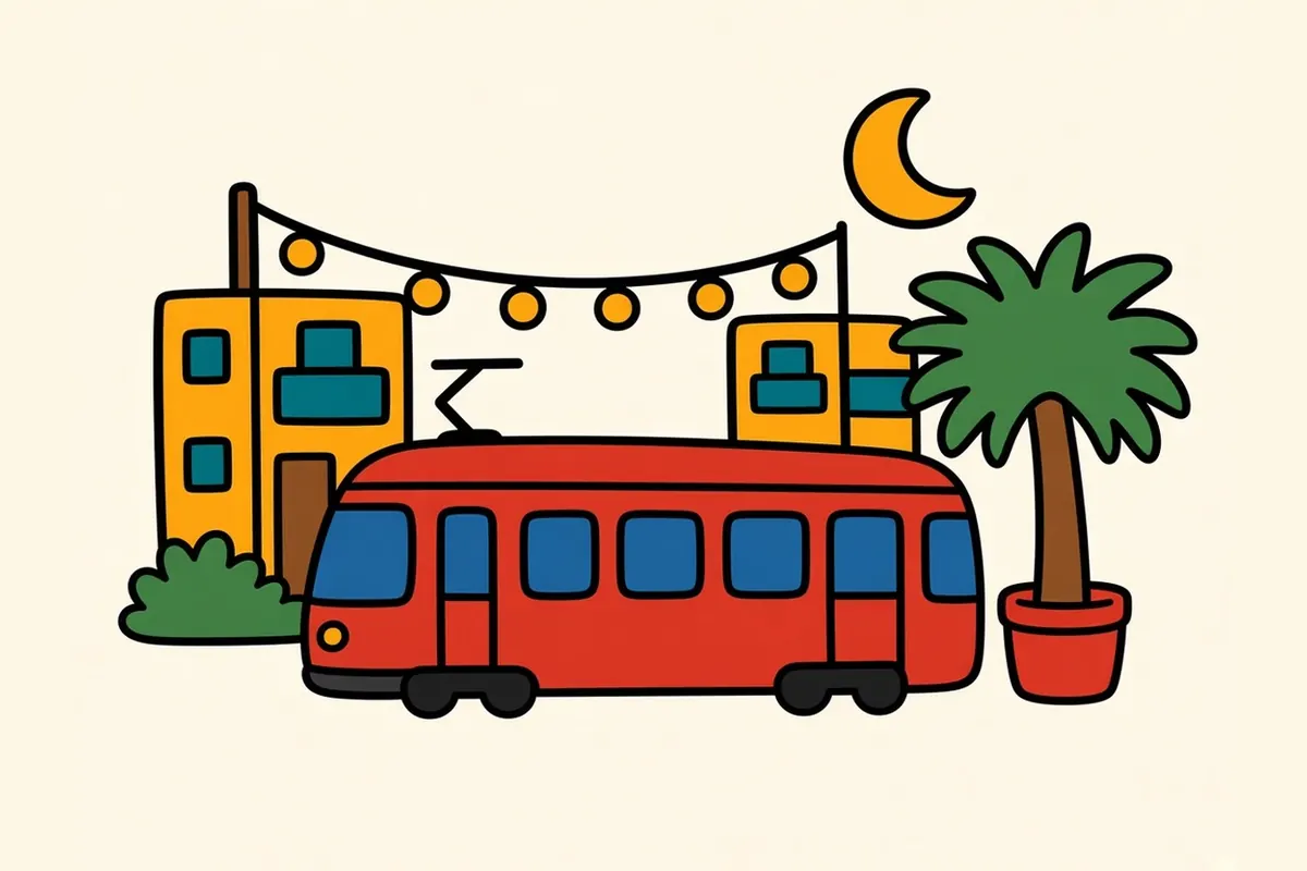
Just south of downtown, Midtown is apartments, bars and late-night food on a tidy street grid, an easy stop on the Red Line. Many young Houstonians come here for a night out. Before Vietnamese businesses moved west to Bellaire Boulevard, this was the city’s Little Saigon, and you can still spot traces of it if you look at the older storefronts.
Montrose
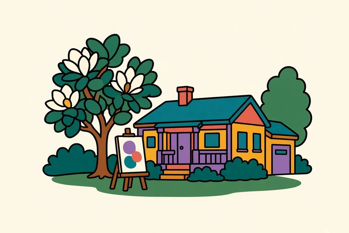
You slow down in Montrose without meaning to. Shady streets of old bungalows and garage apartments mix with tattoo studios, vintage shops and small restaurants, and the whole area has long been Houston’s artsy, offbeat side. The Menil Collection sits among gray-painted houses on a quiet block, with free admission Wednesday through Sunday. A short walk away, the Rothko Chapel is a hushed, windowless room of dark canvases where people come for the stillness as much as the paintings. Of all the neighborhoods on this list, Montrose is the one you can cover best on foot.
The Heights
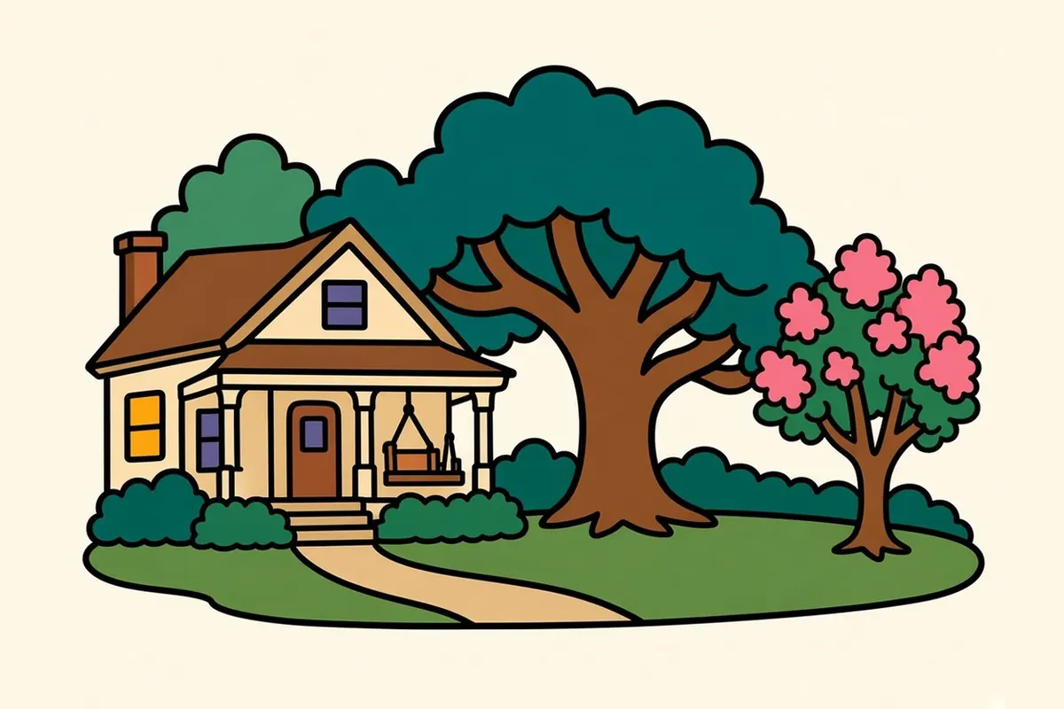
The Heights was platted in 1891 as one of Texas’s earliest planned communities, on ground a little higher than the bayous around it. Victorian houses and Craftsman bungalows with deep porches line the side streets. Heights Boulevard has a wide green esplanade down the middle, and its trail fills with walkers and runners once the air cools. 19th Street is the classic strip of small shops. Even with the city all around it, the Heights still moves at a front-porch pace.
Museum District
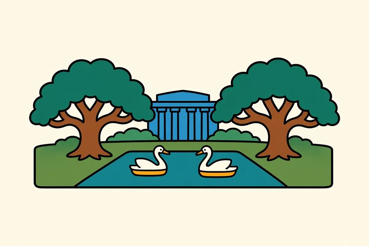
Live oaks shade the sidewalks even at noon, and the museums sit close together: fine arts, natural science, contemporary art, a children’s museum and more. Next door, Hermann Park has the zoo, a long reflecting pool, paddle boats and open lawns. The Red Line stops here, so you can leave the car parked for the day. Just south, the Texas Medical Center, widely billed as the largest medical complex in the world, rises like a second downtown made of hospital towers.
Third Ward
Third Ward is one of the historic centers of Black Houston and home to Texas Southern University and the University of Houston. In 1872, formerly enslaved Houstonians pooled their money to buy the land for Emancipation Park so they would have a place to celebrate Juneteenth, and the park still holds celebrations every June. Walking the streets around it, you pass murals, churches and community gardens in a neighborhood that holds tightly to its history while new construction presses in.
EaDo (East Downtown)
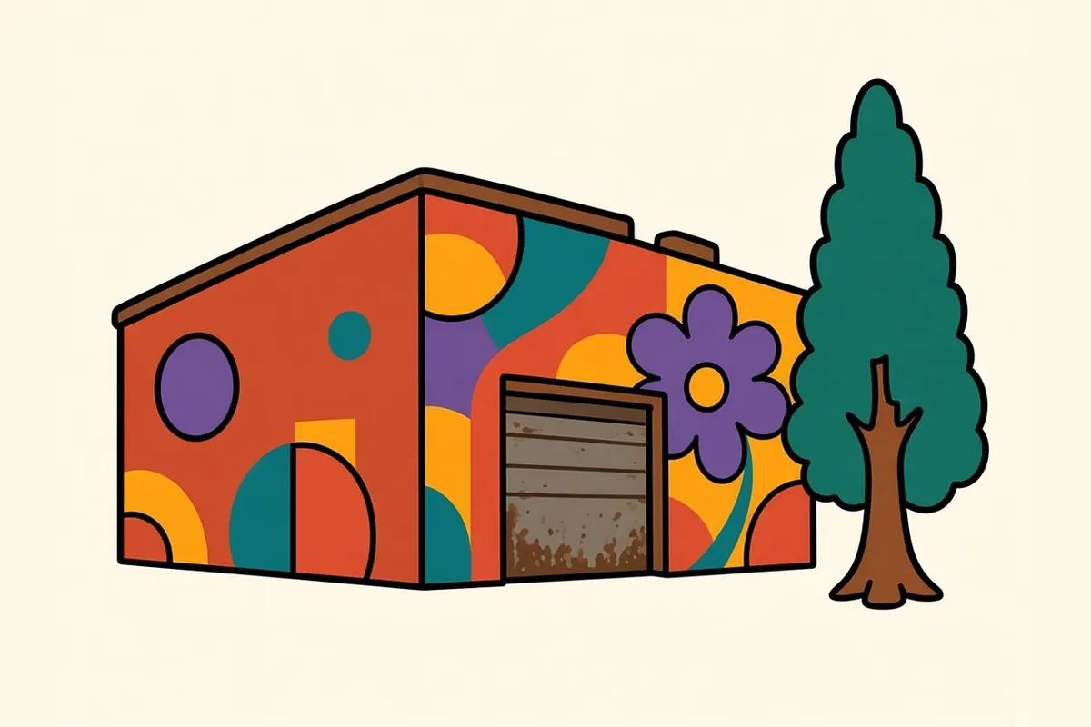
East of the towers, EaDo is a former warehouse district of brick buildings and big murals. From the 1950s into the 1980s this was Houston’s Chinatown, until the new convention center and freeway work cut it off from downtown and the community moved southwest to Bellaire Boulevard. Few traces remain. Today you’ll find breweries, music venues, the soccer stadium and new apartments, with the Green Line running through the middle.
East End and Second Ward
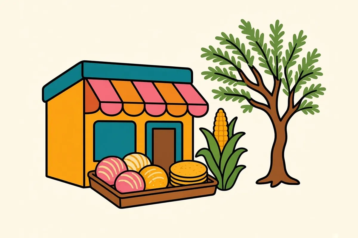
Follow the Green Line or Navigation Boulevard east and you reach the historic East End, the heart of Mexican American Houston since the early 1900s. Roll down your windows and you pass murals, family taquerías and panaderías. By evening the air smells of corn tortillas and meat on the grill. The wide esplanade on Navigation is where the neighborhood gathers for festivals and markets. Out here, closer to the Ship Channel, it’s easy to see how the port built the working city.
Fifth Ward
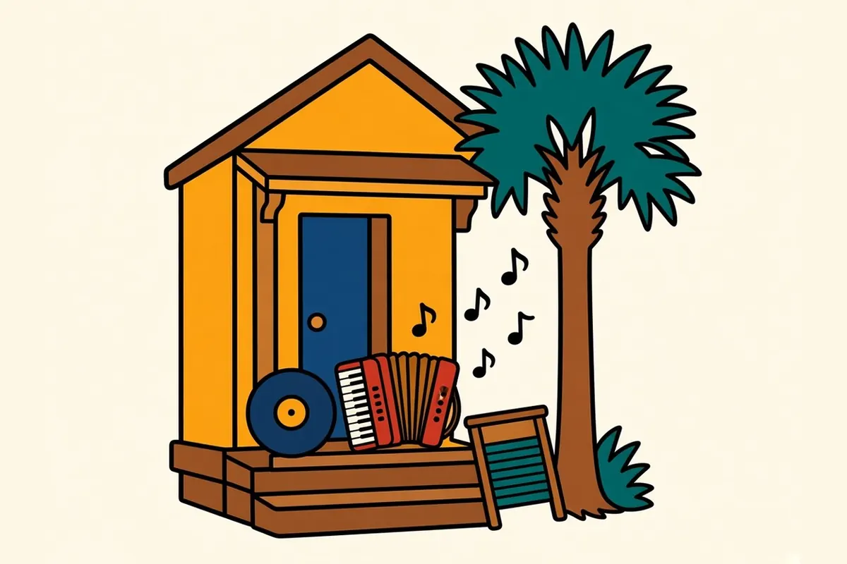
Fifth Ward sits northeast of downtown, across Buffalo Bayou. This historically Black neighborhood has a deep music history. A record label founded in the ward in 1949 put out blues, R&B and gospel heard across the country, and Frenchtown, a Louisiana Creole settlement within the ward, helped shape the sound that became zydeco. Lyons Avenue now has restored buildings and new arts spaces. Drive through respectfully, since it’s a residential community first and a place to visit second.
Asiatown and Bellaire Boulevard
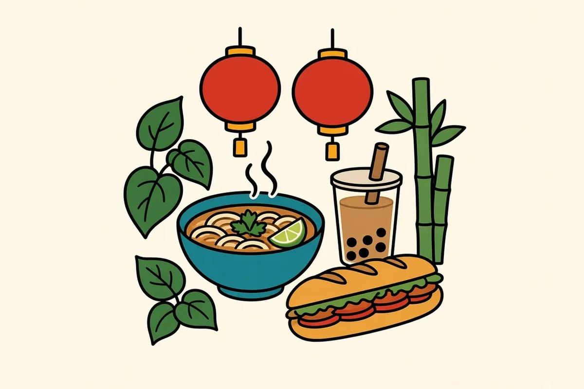
Head southwest on Bellaire Boulevard, well outside the Loop, and the shopping-center signs switch to Chinese, Vietnamese, Korean and more for mile after mile. This is the center of Houston’s large Asian American community, and you could eat here all day: pho for breakfast, banh mi, boba, a Chinese bakery, a dim sum hall, a food court that runs late. In spring, come for Viet-Cajun crawfish, boiled the Louisiana way and then tossed in garlic butter with lemongrass and chili. Vietnamese American cooks on the Gulf Coast created it, and Houston made it a local staple. You eat it with your hands from a plastic bag, and your fingers smell of garlic for hours.
Rice Village
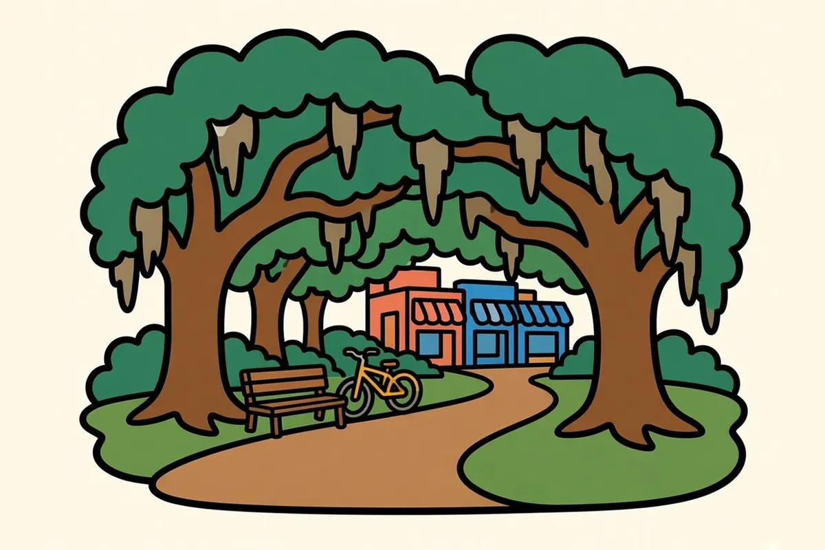
Next to Rice University, Rice Village is a compact grid of shops and restaurants with a relaxed campus feel. You park once and walk. Then cross over to the university, where a shaded loop path runs under live oaks around the campus. It’s a good reset between bigger outings.
Uptown
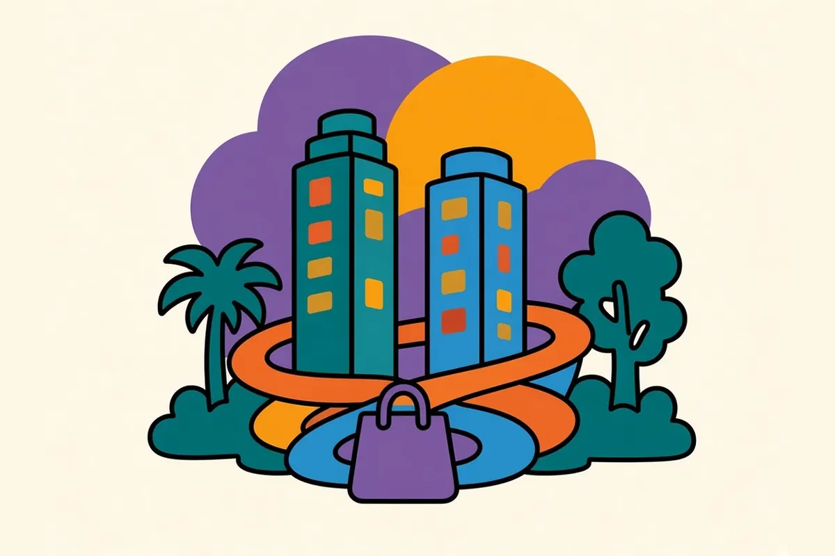
West of Loop 610, Uptown is Houston at its glossiest: department stores, tall office towers, hotels and constant traffic. The Water Wall, a curved fountain where water sheets down a towering semicircular wall, is at its best around dusk. Across the Loop to the northeast, Memorial Park covers about 1,500 acres, nearly twice the size of Central Park, with trails winding through pines and hardwoods.
What to eat in Houston
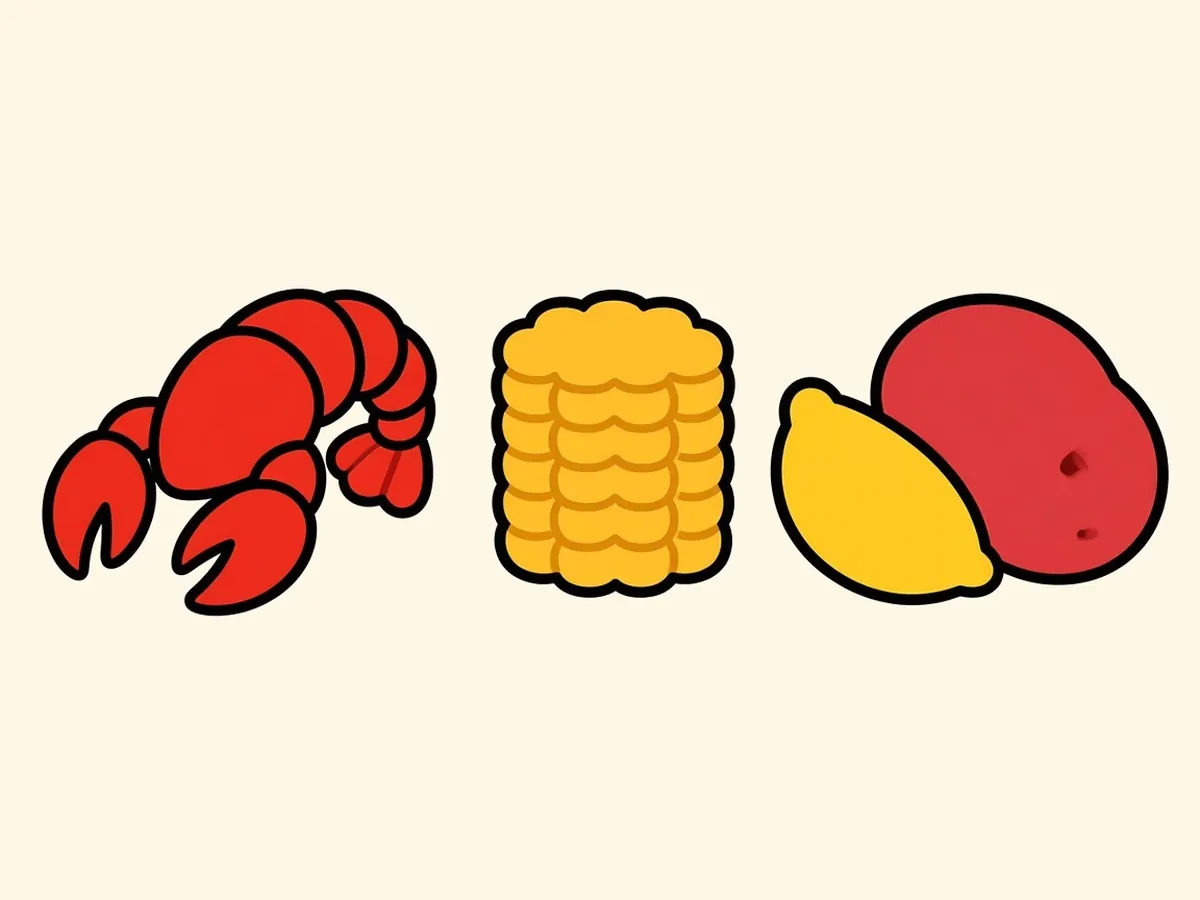
Houston’s food is a map of everyone who has moved here. Tex-Mex is the local default: fajitas, enchiladas under chili gravy, breakfast tacos. Barbecue means slow-smoked brisket with a peppery crust. Gulf seafood brings oysters, shrimp and fried fish from the coast. Then add the Vietnamese, Chinese, Indian, Pakistani, Nigerian, Salvadoran and Lebanese kitchens spread across the suburbs, and you can eat your way around the world without leaving the county.
So where does Houston’s best cooking hide? My advice: eat in strip malls. In Houston, serious cooking often happens in a plain shopping center between a laundromat and a phone repair shop. Locals don’t find that strange, and once you stop judging a meal by its parking lot, the city opens up.
Late winter brings the biggest food event on the calendar. The Houston Livestock Show and Rodeo runs March 2 to 21, 2027, with livestock shows, a carnival and nightly concerts. The barbecue cook-off that opens the season comes the week before, February 25 to 27, when hundreds of teams fill the grounds with smoke. By the time it ends, crawfish season is in full swing.
Living and working in Houston
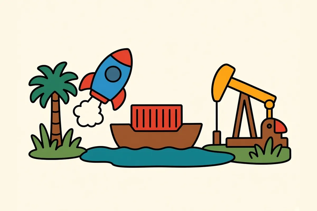
Energy built modern Houston, and it still shapes the economy. Oil and gas companies fill the office towers, and refineries and petrochemical plants line the Houston Ship Channel. By cargo tonnage, the Ship Channel is the busiest port in the country, which keeps a lot of people working in shipping, trucking and logistics.
Health care is the other giant. The Texas Medical Center employs doctors, nurses, researchers and support staff across its hospitals, schools and research institutes. Add aerospace around NASA’s Johnson Space Center near Clear Lake, along with engineering, construction and a growing number of tech and life-science companies.
For people thinking about moving, the main draw is how affordable Houston is for a city this size. Housing generally costs well below the big coastal metros, and Texas has no state personal income tax. The trade-offs are real: you’ll need a car, commutes can be long, summers are long and sticky, and flooding is a fact of life.
What people tend to love most is the mix. Researchers at Rice University have found the Houston area to be among the most ethnically diverse in the country, and you taste it in the food and see it in the festivals and neighborhood life. Many of the museums are free or cheap, and the bayou trails have turned old drainage channels into green corridors through the middle of the city.
Houston travel tips
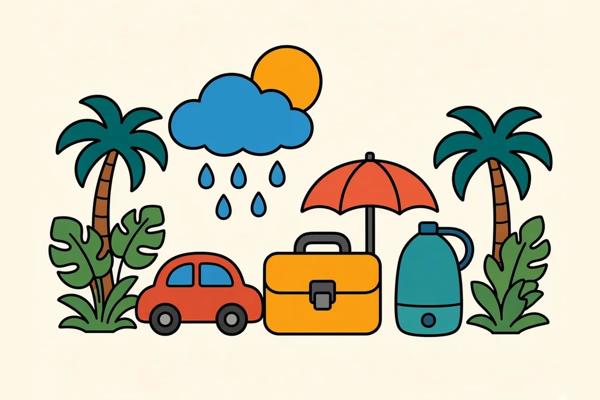
- Best time to visit: Late October through April has the mildest weather. Summer is hot and humid, with frequent afternoon storms, and Atlantic hurricane season runs June 1 to November 30.
- Spring events: The rodeo runs March 2 to 21, 2027. The Art Car Parade, a free procession of wildly decorated vehicles, rolls along Allen Parkway and through downtown on Saturday, April 10, 2027. Get there early for shade.
- Getting around: Plan on a car. METRORail’s Red Line links downtown, Midtown, the Museum District, Hermann Park and the Texas Medical Center, which covers a full sightseeing day without driving. The Green and Purple lines run east and southeast.
- Airports: Houston has two major airports, George Bush Intercontinental to the north and William P. Hobby to the southeast. They’re far apart, so check which one your flight uses before you book a hotel.
- Toll roads: Harris County toll roads don’t take cash. Drivers pay with a toll tag such as EZ TAG or get billed by mail at a higher rate. Most visitors miss that rental cars handle this through the rental company’s own toll program, so check its fees before you get on the Beltway.
- Flooding: Heavy rain can flood underpasses and low streets quickly. Never drive into water on the road; turn around and find another route.
- Heat: Save outdoor time for mornings and evenings, carry water, and bring a light layer for the very cold air conditioning indoors.
- Free culture: The Menil Collection is always free, and the Rothko Chapel has free general admission.
- Bayou bats: A colony of Mexican free-tailed bats roosts under the Waugh Drive Bridge over Buffalo Bayou. The viewing area near Allen Parkway is the place to be around sunset, though the bats are less likely to fly in rain or cold weather.
Driving out toward Austin
Houston doesn’t so much end as thin out. The towers shrink in the mirror while the freeway lanes multiply past suburbs, outlet malls and endless frontage roads. Take US 290 northwest toward Austin, about 165 miles away, and the land starts to rise and roll, with pastures and live oaks taking over from parking lots. If you’d rather go south first, I-45 gets you to the Galveston causeway in about an hour, and you’ll smell the salt air before you see the Gulf.
Either way, the flat green sprawl behind you is a good place to start a road trip. Houston teaches you to drive a long way for a good meal, and that habit will serve you well for the rest of the trip.
Common questions
What is the best time of year to visit Houston?
Late October through April. Winters are mild, and spring brings the rodeo, the Art Car Parade and crawfish season. Summer is hot and humid, and Atlantic hurricane season runs June 1 to November 30, so watch the forecast if you travel then.
Do you need a car in Houston?
For most trips, yes. METRORail's three light-rail lines cover downtown, Midtown, the Museum District, the Texas Medical Center and parts of the East End and Third Ward, but most neighborhoods are far apart and easiest to reach by car.
How many days do you need in Houston?
Two or three full days covers Buffalo Bayou, the Museum District, Montrose, the Heights and a long food crawl along Bellaire Boulevard. Add a day for Galveston or the NASA Johnson Space Center area to the southeast.
What jobs is Houston known for?
Energy first: oil and gas companies, plus the refineries and petrochemical plants along the Houston Ship Channel. Health care and medical research at the Texas Medical Center, shipping and logistics, engineering, construction and aerospace near NASA's Johnson Space Center are the other big fields.
Is Houston an expensive place to live?
Not by big-city standards. Housing generally costs well below the big coastal metros, and Texas has no state personal income tax. The trade-offs are car costs, long commutes and high summer power bills.
How far is Austin from Houston?
About 165 miles west on US 290, usually two and a half to three hours of driving outside rush hour.