05 City Guides New Mexico
Santa Fe Road Trip Guide: Adobe, Art & High-Desert Light
Summary
Santa Fe is the fifth stop on this road trip and the first one above 7,000 feet, so give yourself a slow first day to adjust to the altitude. The best things to do in Santa Fe on a road trip change with the season, and fall is the best time to visit, with late spring close behind. This guide walks through the city one season at a time, then covers the neighborhoods, what living there is like and the short drive down to Albuquerque.
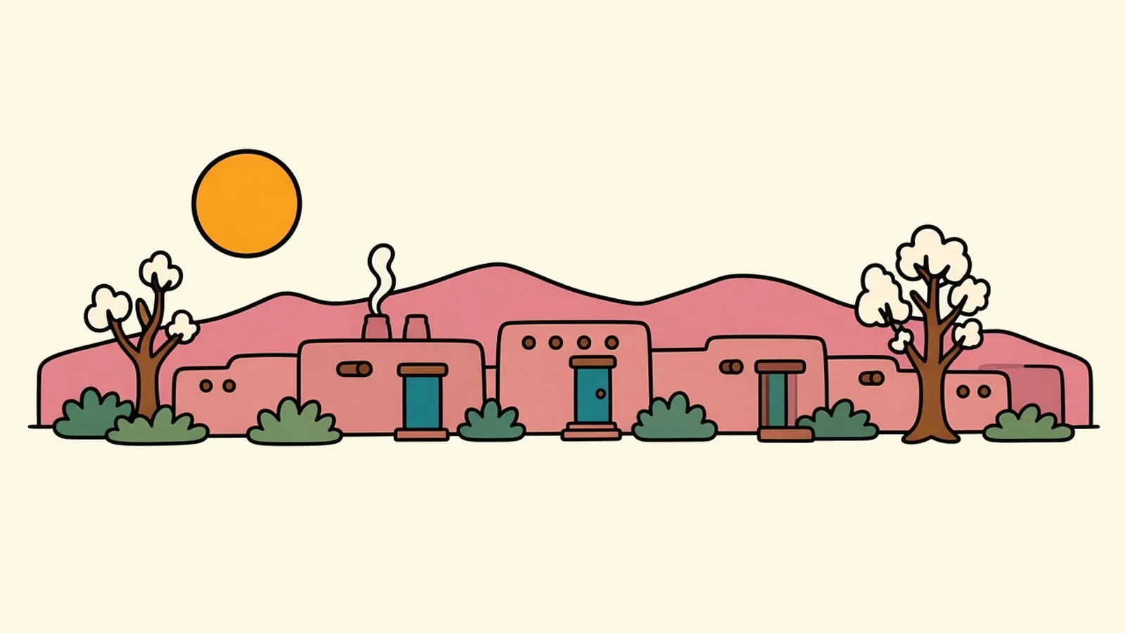
Piñon smoke reaches you first. It’s sweet and resinous, a little like incense and a little like a campfire, drifting off a dozen chimneys on a side street a few blocks from the Plaza.
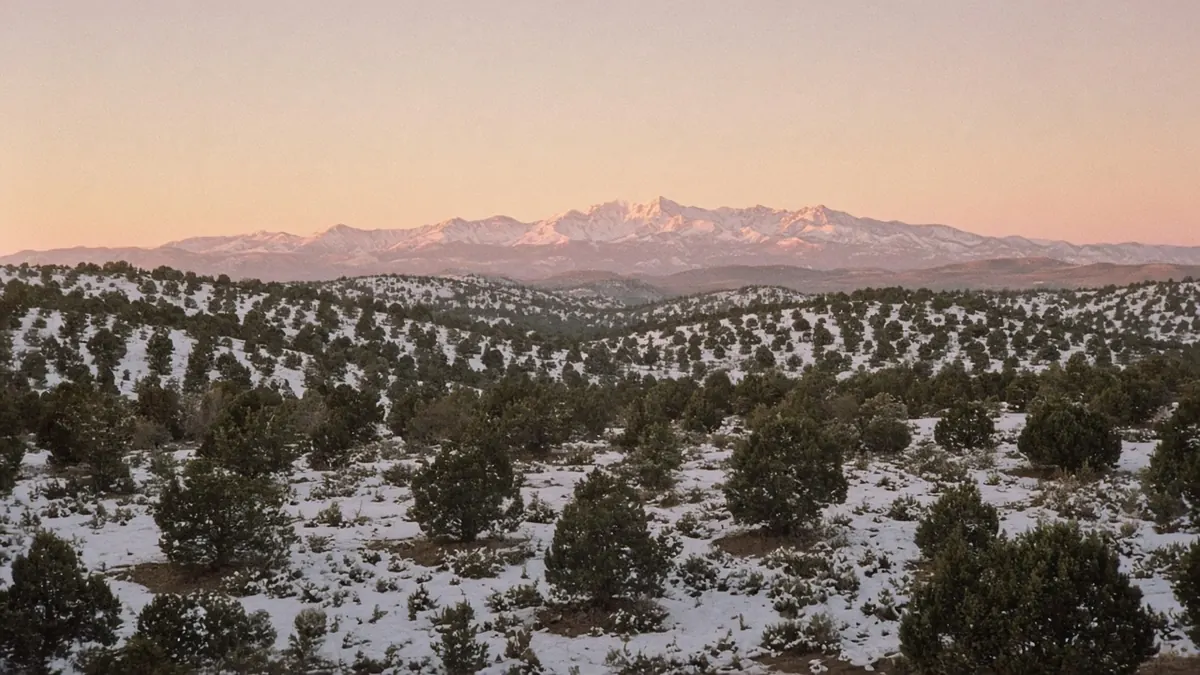
The sun is nearly down. The walls along the lane are adobe, or made to look like it, with rounded corners and deep-set wooden doors, and in this last light they shift from tan to a warm rose. Your breath shows. A string of bare cottonwood branches throws long shadows across the dirt-colored plaster, and behind the rooftops the Sangre de Cristo Mountains catch the final glow, snow along their crest turning pink.
It’s quiet enough to hear your own footsteps. Come back to this street in July and it’s a different city, loud with afternoon thunder. Come in October and it smells of roasting chile. Santa Fe is the same few streets all year, but it changes so completely with the season that it’s worth knowing which version you’re getting.
Quick plan
- How long
- Two nights, or three if you add Bandelier.
- Best months
- September and October first, then May and June.
- Altitude
- About 7,000 feet, so take the first day slowly.
- Getting there and away
- About 330 miles from El Paso; about an hour down to Albuquerque.
How you got this high
The day starts in El Paso, low on the Rio Grande. A short run west on I-10 brings you to Las Cruces and the start of I-25, which points north. For the next few hours the interstate follows the river valley through farm country and long, dry stretches of open range, with mountains rising and falling on both sides. Services are thin between towns, so fill up in Las Cruces or Truth or Consequences.
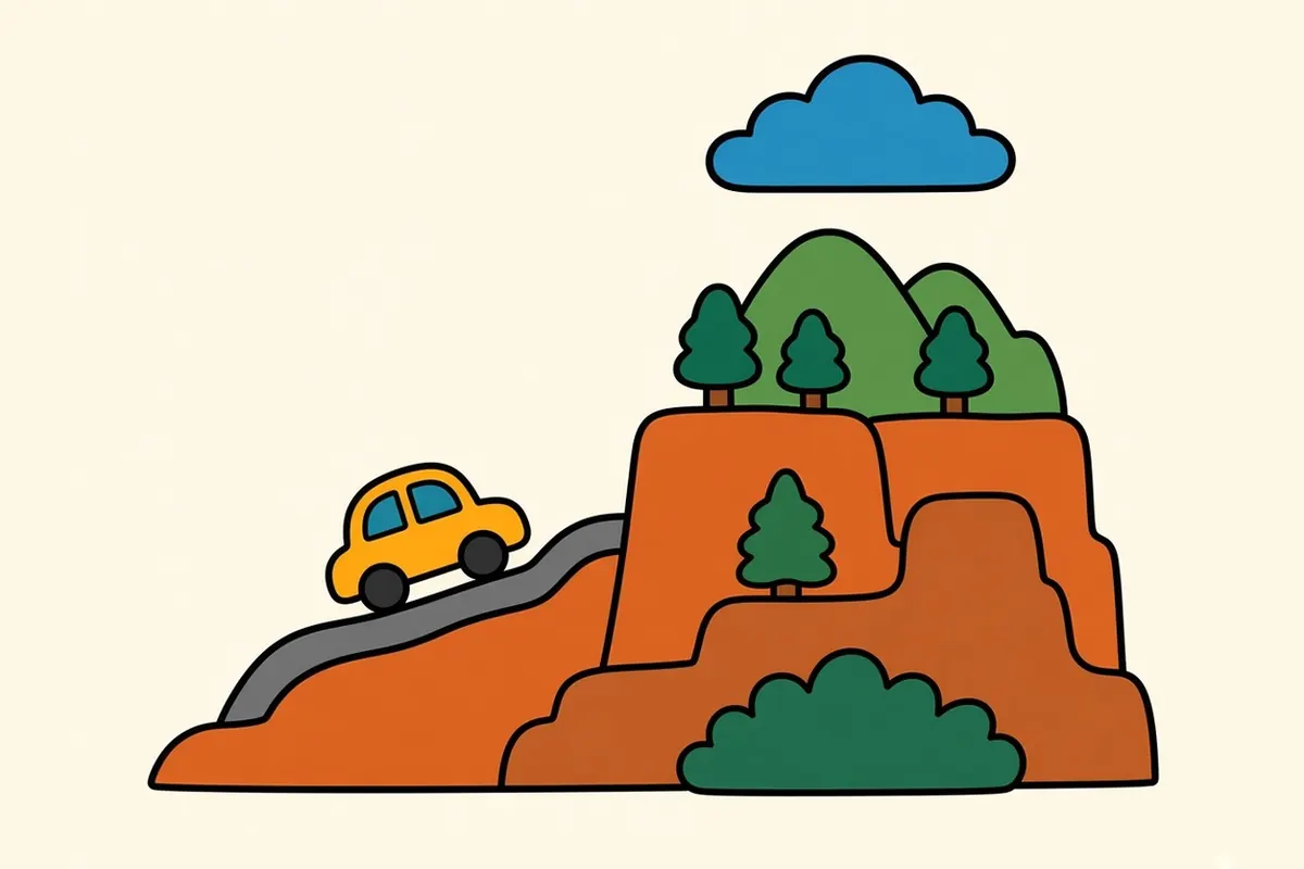
You cut straight through Albuquerque, with the Sandias looming to the east. Then, north of the city, the road meets the real climb: La Bajada, a long, steep escarpment capped with dark basalt, where the highway hauls itself up from the river valley onto a higher plain. Your engine notices. So do your ears.
By the time low, earth-colored buildings start to line the road against the foothills, you’ve climbed from roughly 4,000 feet to about 7,000, high enough to make Santa Fe the highest state capital in the country. It’s about 330 miles from El Paso, five to six hours of driving. Step out of the car and the air feels thin and dry.
Things to do in Santa Fe on a road trip, season by season
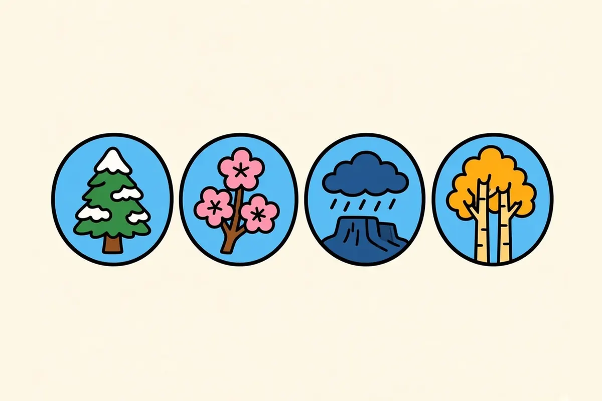
The Plaza and the Palace of the Governors are the historic core. Canyon Road is the gallery street. The Railyard has the farmers market and contemporary art. Museum Hill gathers several museums and a botanical garden in one place. Bandelier National Monument, about 45 miles northwest, is the classic day trip. What changes around them is the light, the crowds and the smell of the streets, so the city is easiest to plan one season at a time.
Winter
Cold, clear and very still.
Winter brings short days, cold nights, snow that comes and goes, and museums with room to breathe. In December, farolitos (small paper bags weighted with sand, each holding a candle) line walls and rooftops across the old center. On Christmas Eve, Canyon Road holds its farolito walk from sundown, with lanterns along the adobe walls, small bonfires and carolers. It’s free and gets very crowded. Walk or take a shuttle in rather than counting on parking.
The ski area above town, about 16 miles up a winding mountain road, usually opens around Thanksgiving. Check road conditions before you drive up in snow.
I’d pick a weekday in early December for the quietest version of the city.
Spring
Wind first, then blossoms.
Spring is changeable. March and April bring strong, dry winds and the chance of a late snowstorm well into April. Fruit trees blossom in old orchards along the acequias, the small irrigation ditches that still run through some neighborhoods. Crowds thin out.
Kasha-Katuwe Tent Rocks National Monument, with its cone-shaped rock formations, reopened in 2026 under a reservation system. You need a timed entry ticket and a separate Cochiti Pueblo access pass, and it closes every year from mid-December through January.
I’d keep spring plans flexible and pack for both sun and snow.
Summer
Big skies, afternoon storms.
Summer is warm rather than hot, thanks to the altitude, and noticeably cooler than most of the Southwest. By early afternoon thunderheads stack up over the mountains, and many days end with a short, dramatic storm that leaves the air smelling of wet earth and juniper. The opera season fills summer nights, and the Railyard market is at its fullest.
In August the city hosts the Santa Fe Indian Market, a large Native art market organized by SWAIA, set for August 21–22, 2027. Book lodging well ahead for that weekend. Bandelier is busiest in summer, too. In 2026 its free shuttle ran on peak days from mid-March to mid-October, and you only had to use it when the canyon lots were full. Check the park’s current schedule before you go.
I’d do my hiking before noon and save the afternoons for museums.
Fall
Chile smoke and gold leaves.
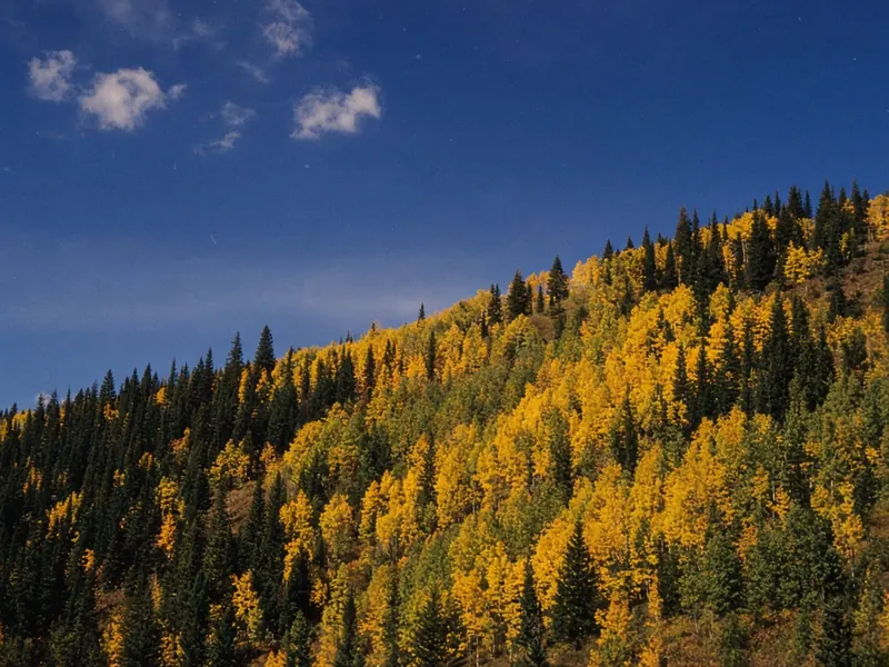
Fall is my pick for the best season. In late summer and early fall, green chile roasts in rotating metal drums outside markets, and the smell of blistered chile skins drifts across parking lots. Just before the season turns, the Burning of Zozobra, a giant marionette representing gloom, is set alight in Fort Marcy Park to open the city’s fiestas season. In 2027 it’s on September 3. By late September and early October, aspens turn gold along the road up to the ski area, and the days stay warm while the nights turn crisp.
I’d trade any summer weekend for a weekday in late September.
Santa Fe neighborhoods, from the Plaza to Museum Hill
The Plaza and Historic District
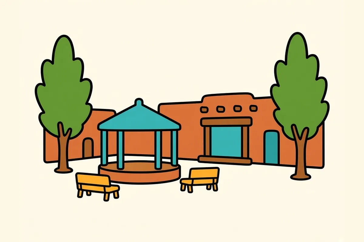
The Plaza is the old heart of the city, laid out after Santa Fe was founded in 1610. On its north side, the Palace of the Governors dates to that period, and the state history museum calls it the oldest public building in continuous use built by European settlers in the continental United States. Under its long portal, Native artisans from New Mexico’s tribes and pueblos sell their own jewelry and pottery through a museum-run program. Around the Plaza are the cathedral, museums and the streets of the old center.
Barrio de Analco
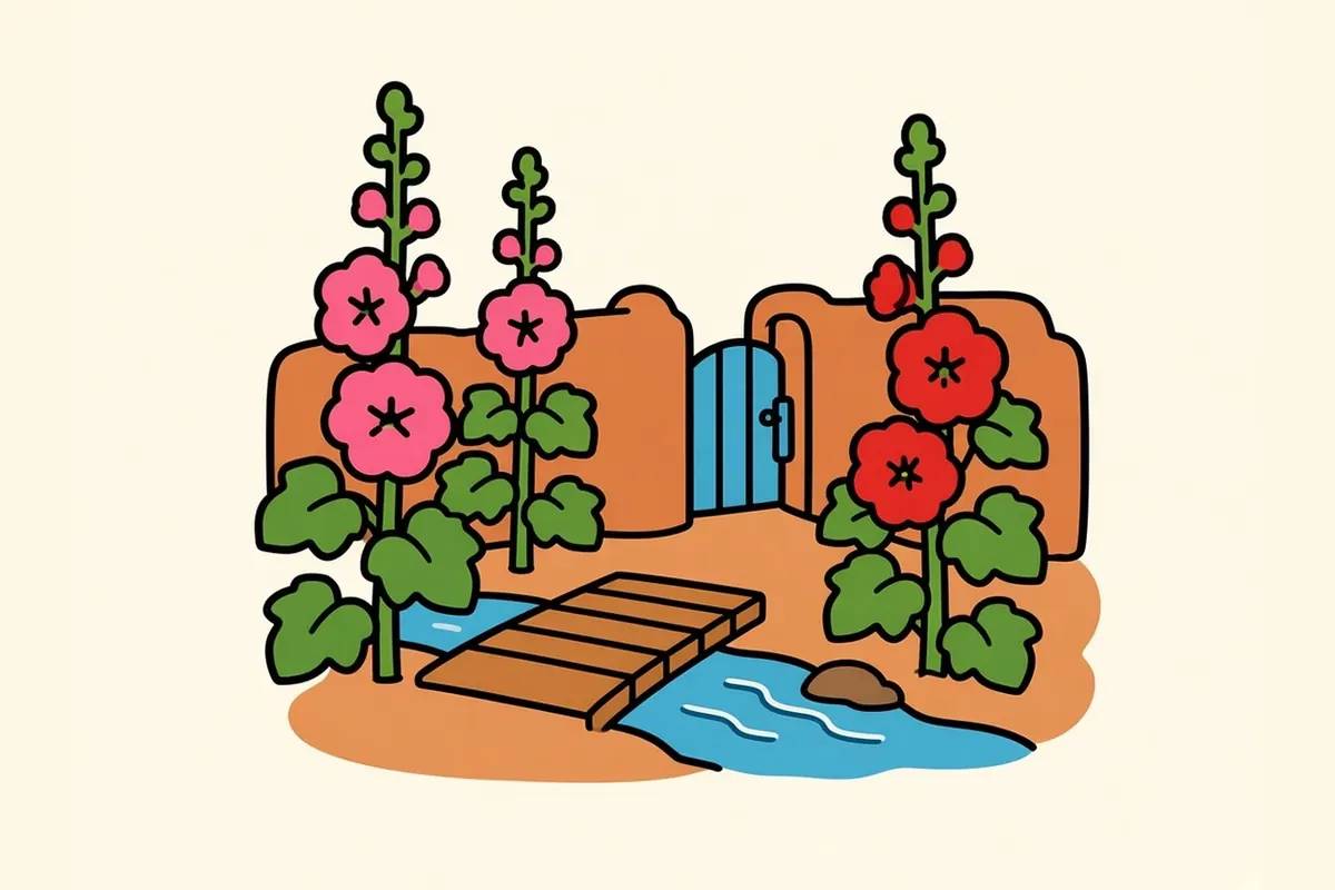
Just south of the Plaza across the small Santa Fe River, Barrio de Analco is one of Santa Fe’s oldest neighborhoods. Its centerpiece is San Miguel Chapel, whose history reaches back to the early 1600s. The streets are short and quiet, with thick adobe walls.
Canyon Road and the Eastside
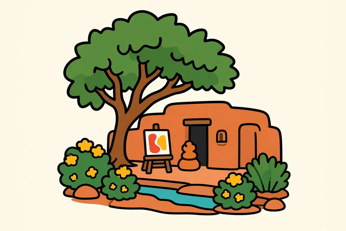
Canyon Road is a half-mile of galleries in old adobe houses, more than a hundred of them by the city’s count, under big trees. Beyond it, Acequia Madre and Upper Canyon Road lead into quiet residential lanes along the old irrigation ditch. These are people’s homes, so walk them quietly.
Railyard District
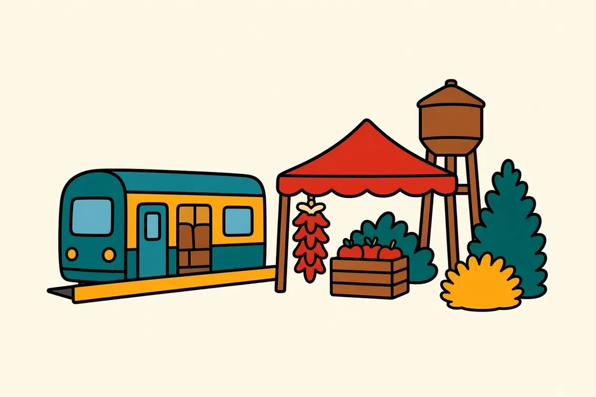
The Railyard mixes old rail buildings with new ones: contemporary galleries, the farmers market pavilion, Railyard Park and the depot where the Rail Runner commuter train ends. The Saturday market runs year-round, and from spring into December there’s a Tuesday market too.
Guadalupe District
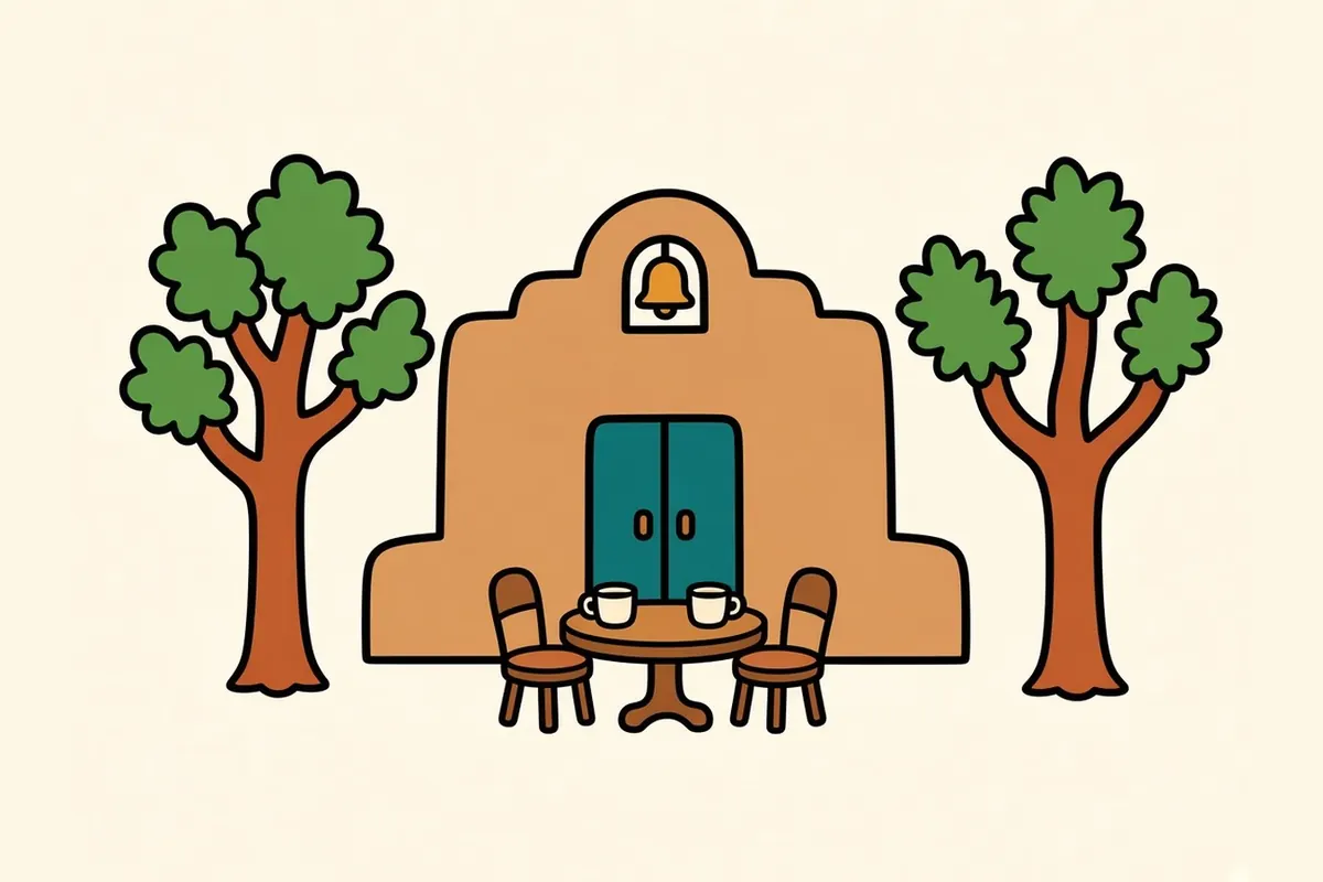
Next to the Railyard, the Guadalupe District grows up around the old Santuario de Guadalupe, an adobe church with a simple facade. Shops and cafes fill the streets around it.
Baca Street District
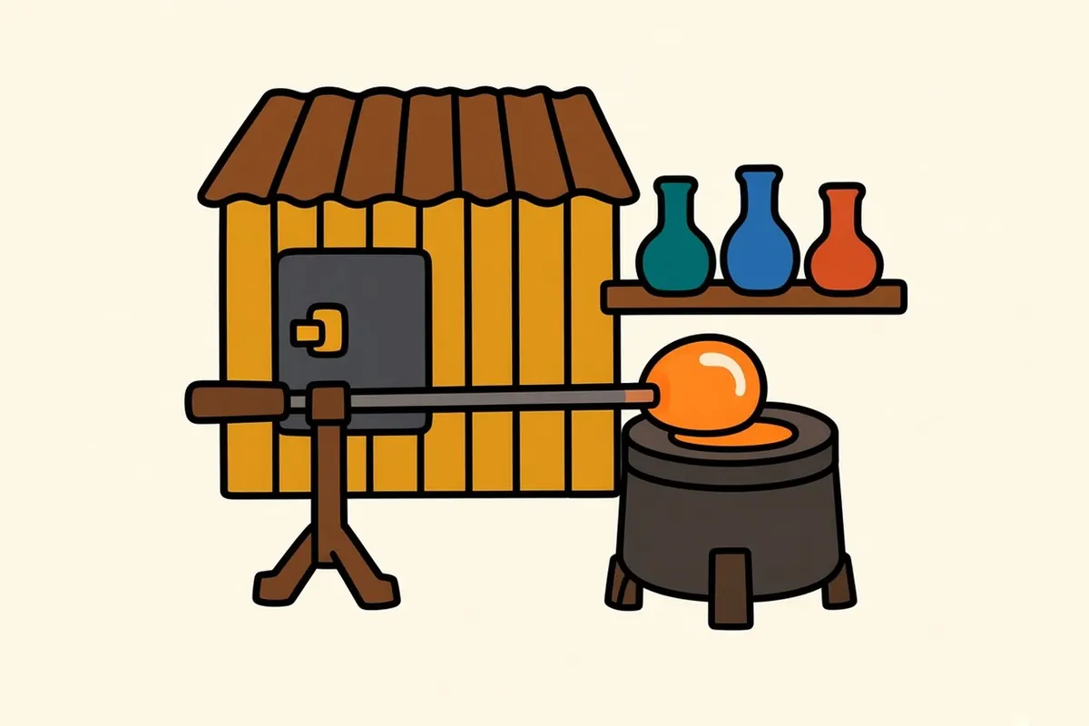
About a mile from Railyard Park along the Acequia Trail, the Baca Street District is a small cluster of studios, glassblowing workshops and independent shops in low industrial buildings.
Museum Hill
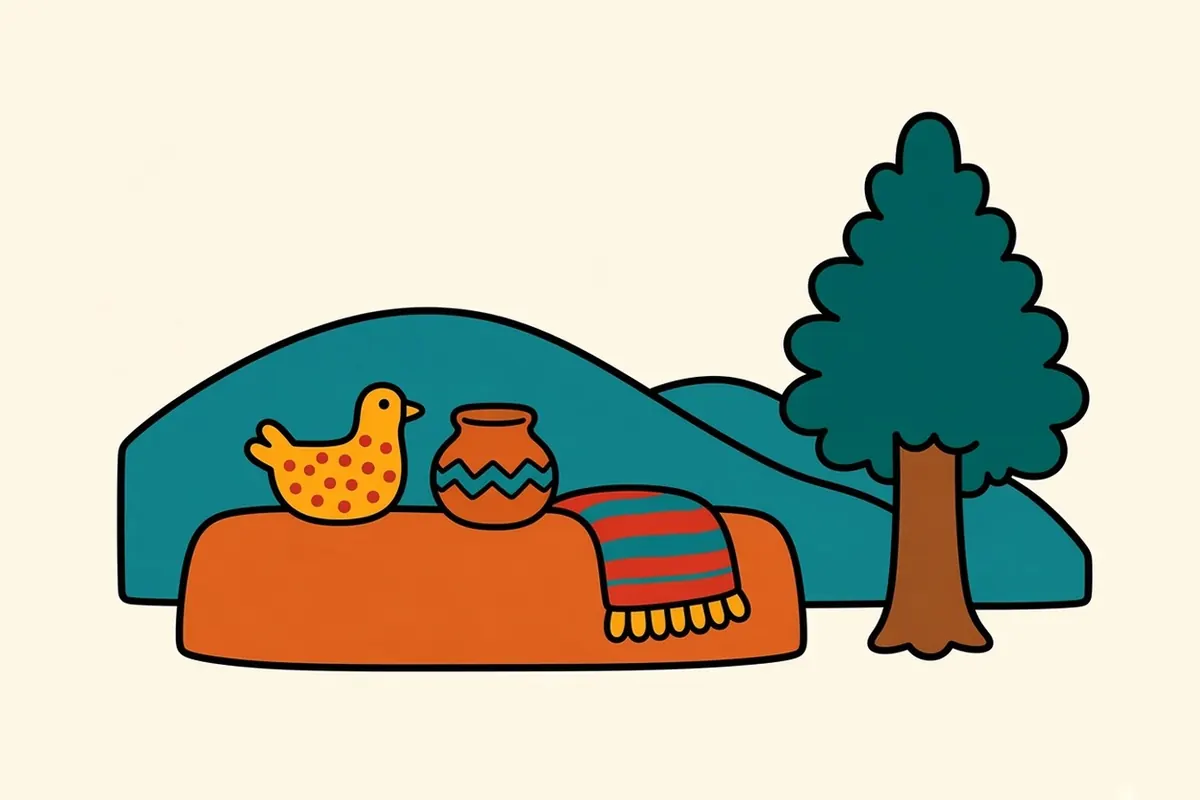
On a rise southeast of downtown, Museum Hill groups museums of international folk art, Native arts and culture, and Spanish colonial art, along with the botanical garden, around a plaza with long views. From November through April the state museums there close on Mondays, so confirm hours before you go.
Midtown and Siler-Rufina
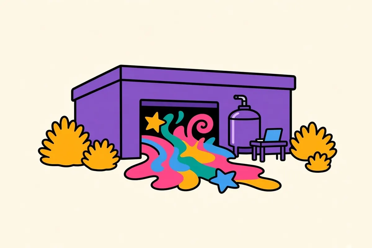
Midtown and the Siler-Rufina area are where the newer side of the city lives: artists’ studios, small tech and creative businesses, breweries and a large immersive art installation in a former bowling alley.
Red or green: what Santa Fe cooks
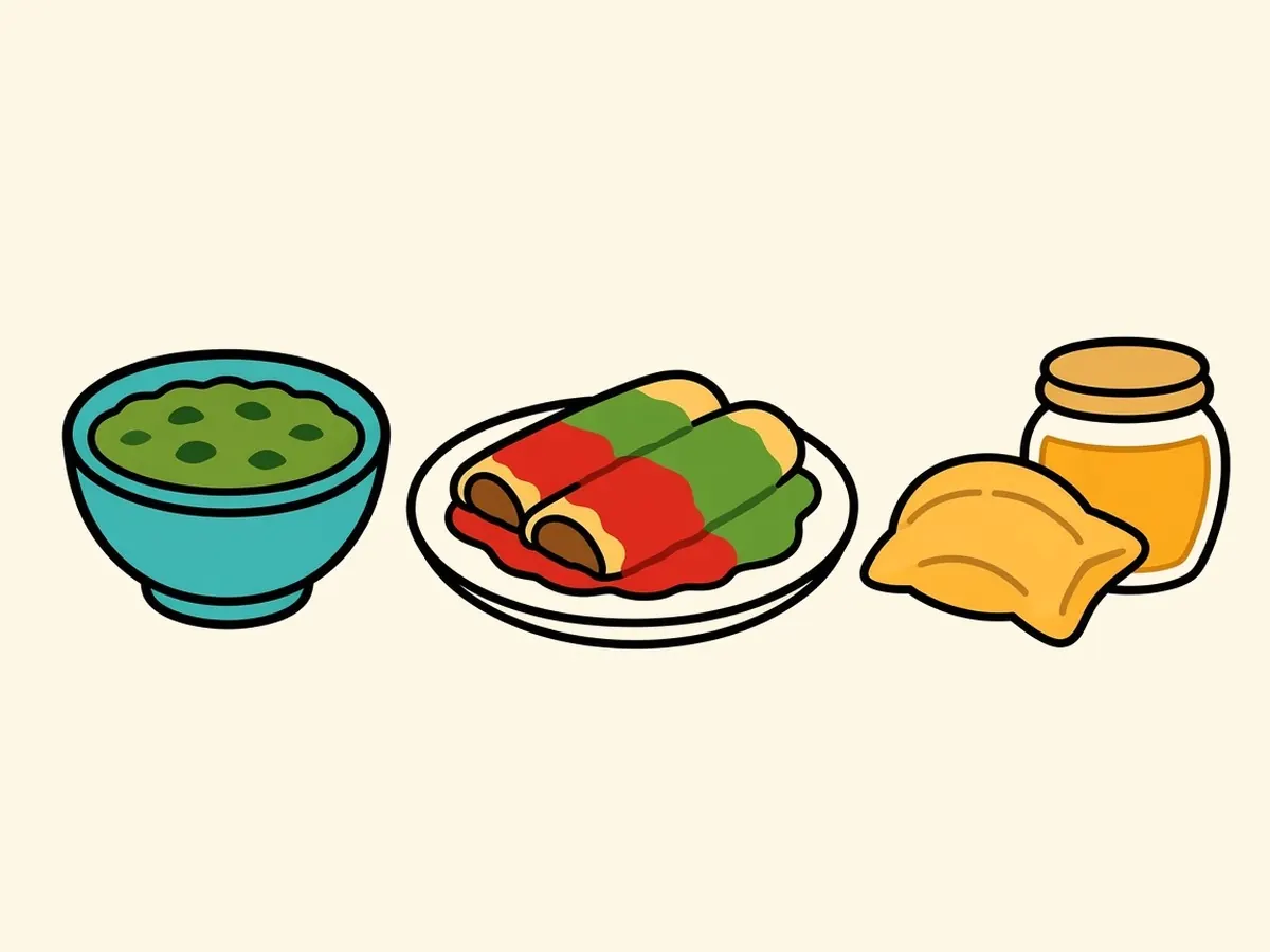
“Red or green?” is New Mexico’s official state question, written into state law in 1999. It asks which chile sauce you want. Red is made from dried chile pods, earthy and deep. Green is made from roasted fresh chile, brighter and often hotter. Order “Christmas” and you get both.
Chile turns up everywhere: in green chile stew, red chile with carne adovada (pork slow-cooked in red chile), and posole, a hominy stew. Blue corn appears in tortillas and enchiladas. Sopaipillas, puffy fried pastries, come with honey. The biscochito, a crisp anise-and-cinnamon cookie, has been the official state cookie since 1989.
Living and working in the high desert
Santa Fe is the capital of New Mexico, the state officially nicknamed the Land of Enchantment, and its largest employer is state government. Tourism and hospitality come next, along with the arts: galleries, studios, museums and the people who work in them. A small tech sector is growing. Los Alamos National Laboratory, about 35 miles northwest, is the largest employer in northern New Mexico.
Santa Fe costs more to live in than the rest of the state. Housing especially is expensive, driven partly by second homes and the tourism economy. It’s still cheaper than the big coastal metros.
The payoff for living at this altitude: the light and the mountains, a deep art and craft culture, a walkable historic center, four distinct seasons, and days that seem to run on the light rather than the clock.
Santa Fe tips, altitude first
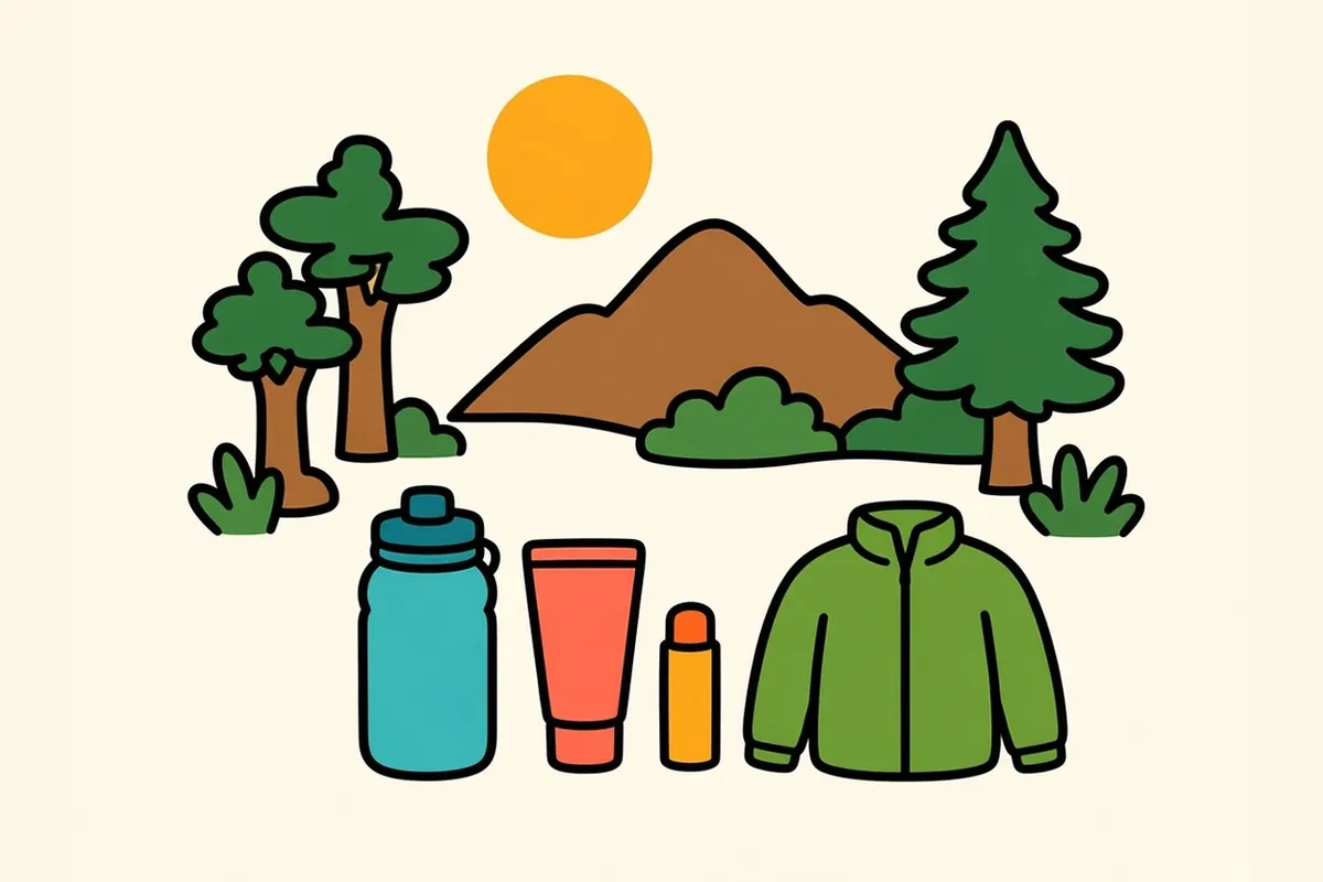
- Altitude: At about 7,000 feet, many visitors feel short of breath or get headaches for the first day or two. Drink more water than usual, go easy on alcohol the first night and take hills slowly. See a doctor if symptoms are severe.
- Sun: The sun is strong at this altitude, even in winter. Wear sunscreen and a hat.
- Layers: A warm afternoon can drop by about 30 degrees after dark. Bring a real jacket in any season.
- Park once: The Plaza, Canyon Road and the Railyard are all within walking distance. Leave the car and go on foot.
- Winter roads: Check nmroads.com before driving the ski road or heading north in snow.
- Summer storms: Afternoon thunderstorms are common in July and August. Hike early.
- Big weekends: The August Indian Market, Zozobra weekend and Christmas Eve fill the town. Book early.
- Galleries and pueblos: Ask before photographing artwork or people. If you visit a pueblo, check its own visitor rules first; many restrict photography, and some close to visitors on feast or ceremonial days.
Down the hill to Albuquerque
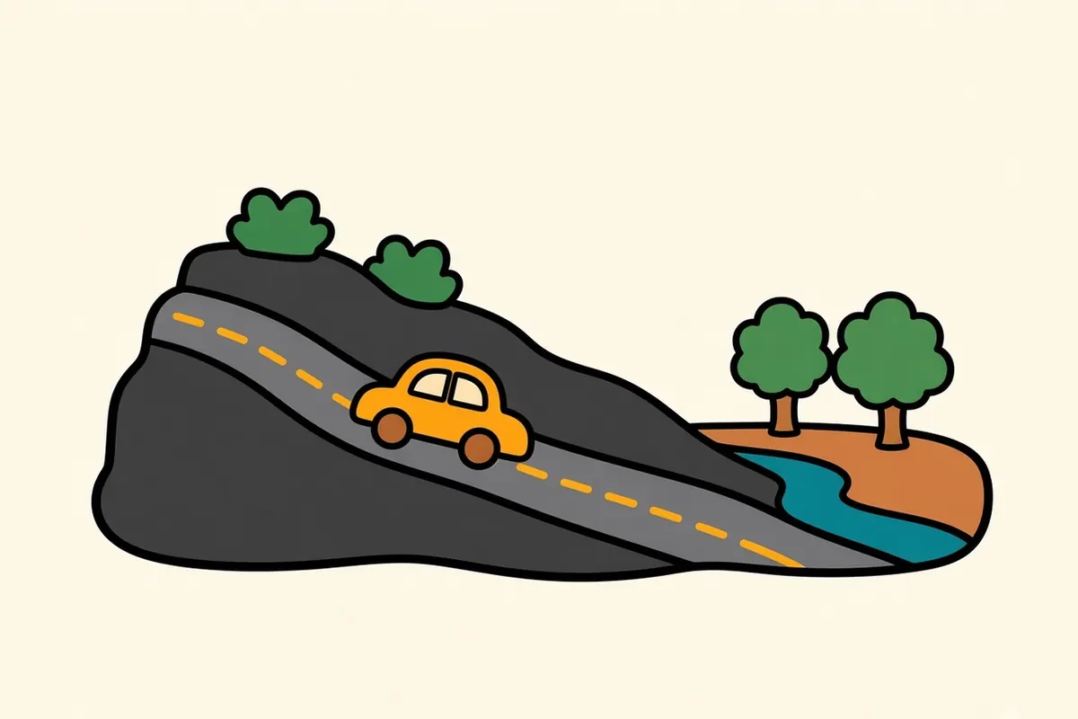
The drive out is short. I-25 runs south about 64 miles to Albuquerque, roughly an hour. You cross the high plain and then drop off the edge of La Bajada, with the whole Rio Grande valley opening up below you.
If you’d rather not drive, the New Mexico Rail Runner commuter train runs between the two cities; check its current schedule. For a slower route, the Turquoise Trail (NM-14) winds south through old mining towns along the east side of the Sandias and takes half a day with stops.
An hour south, Albuquerque is a city best crossed from mountain to river to volcanoes, starting under the cottonwoods at first light.
Red or green, or Christmas? Tell us what you’d order on your first night in Santa Fe.
Common questions
What are the best things to do in Santa Fe on a road trip?
Walk the Plaza and the portal of the Palace of the Governors, wander the galleries of Canyon Road, spend a morning at the Railyard, visit the museums on Museum Hill, and make a day trip to the cliff dwellings at Bandelier National Monument. Add a bowl of green chile stew or a plate of red chile enchiladas.
What is the best time to visit Santa Fe?
September and October, when the days are warm, the nights are crisp, chile is roasting and the aspens turn gold above town. May and June are the next best, before the summer crowds and storms. December is quieter and cold, with farolitos lining walls and rooftops.
Will the altitude in Santa Fe affect me?
It might. Santa Fe sits at about 7,000 feet, and many visitors from lower elevations feel short of breath, tired or headachy for the first day or two. Drink plenty of water, go easy on alcohol the first night and take hills slowly. If symptoms are severe or don't ease, see a doctor.
What are the best Santa Fe neighborhoods to explore on foot?
The Plaza and historic district, Barrio de Analco, Canyon Road and the Eastside, the Railyard and Guadalupe districts and the Baca Street District are all walkable or linked by trails. Museum Hill and Midtown are easier by car or bus.
How long is the drive from El Paso to Santa Fe, and from Santa Fe to Albuquerque?
El Paso to Santa Fe is about 330 miles, roughly 5 to 6 hours, west on I-10 to Las Cruces and then north on I-25 through Albuquerque. Santa Fe to Albuquerque is about 64 miles on I-25, roughly an hour.
What is the cost of living like in Santa Fe, and what are the main jobs?
Santa Fe costs more than the rest of New Mexico, especially for housing, partly because of second homes and the tourism economy, though it's still well below the big coastal metros. State government is the largest employer, followed by tourism and hospitality, the arts and a growing tech sector. Los Alamos National Laboratory is a major employer for the wider region.