02 City Guides Colorado
Things to Do in Glenwood Springs on a Road Trip
Summary
Glenwood Springs is a small mountain town where hot mineral water comes up out of the ground at the mouth of a cold, steep river canyon. This guide lays out the best things to do in Glenwood Springs on a road trip from the hottest water to the coldest, ending in the snow. Winter is the classic time to soak, but I-70 through Glenwood Canyon can close in any season, so check the road before you drive.
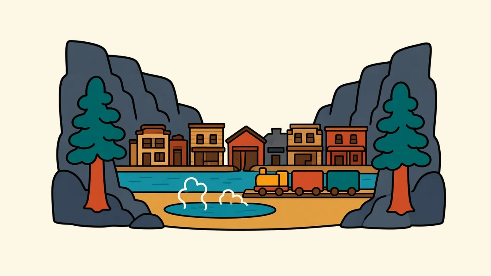
Only your head and shoulders are out of the water, and that’s plenty. The pool is hot enough that your skin tingles, and the night air above it is cold enough to make your ears ache. Snowflakes drift down out of the dark, land on your hair and refuse to melt for a second or two.
Steam rolls across the surface in slow sheets. When it thins, you see lights along the river, a train’s headlamp sliding up the valley and the black canyon walls beyond. When it thickens, the world shrinks to warm water and the glow of the pool lights below you.
There’s a faint mineral smell, a little like struck matches. A gust drops the temperature on your face, and you sink an inch lower without thinking.
The river a few yards away is close to freezing. So where does all this hot water come from?
Quick plan
- How long
- One or two nights.
- Best months
- December to March for snowy soaks; September for canyon color and mild days.
- Getting in
- I-70; a train station downtown; about 157 miles from Denver.
- Before you drive
- Check cotrip.org, and book Hanging Lake ahead.
Things to do in Glenwood Springs on a road trip, from hot to cold
Think of Glenwood Springs as a temperature ladder. At the top is the hot mineral water the town grew up around. In the middle are caves that hold one steady temperature all year. Below that is the canyon, with its snowmelt river and shaded trails, and at the bottom the ski hill and high valleys where winter settles in. You can climb down the whole ladder in a weekend, and the hotter the water, the colder you’ll want the air.
Hot: the springs
The big pool beside the Colorado River is the one most people picture. Glenwood Hot Springs has been open since 1888, and its main pool is very large and long, with a smaller, hotter therapy pool beside it. Farther west along the river, near the gondola base, a newer set of small spring-fed soaking pools sits right at the water’s edge, each a slightly different temperature.
Then there are the vapor caves, a few blocks away. Here, natural steam rises through the rock into underground chambers, and you sit on stone benches in the hot, damp dark. They’re open daily, and you need a reservation.
The heat starts far below your feet. Rain and snowmelt soak into the high ground around town and sink thousands of feet into the earth, where the rock is hot enough to heat them. On the way down, the water dissolves salts and minerals. Cracks and faults in the rock then carry it back up to the surface, here at the river’s edge, still hot. That’s where the mineral smell and the slightly salty taste come from.
The pool, in other words, sits at the end of a slow loop through the mountains that was running long before the town existed.
Steady: underground and up the mountain
A gondola climbs from the edge of town up the side of Iron Mountain to a park built around a cave system. Guided tours lead through narrow passages and rooms of mineral formations, where the air stays about 52°F all year: a jacket in July, a relief in January. Up top, the view drops straight onto the town, the rivers and the canyon mouth.
The caves are the middle rung of the ladder, never hot and never cold, and a good bet when the weather can’t make up its mind.
Cold: the canyon
Glenwood Canyon runs east of town, and it’s narrow enough that the Colorado River, a railroad line and I-70 squeeze through it together. Coming from the east, you drop out of open ranch country near Dotsero and the walls close in fast, layered red and gray rock rising far above the road. The highway through here wasn’t finished until 1992, because engineers had to fit four lanes into a gorge with almost no room. Long stretches ride on viaducts, the two directions often at different heights, with tunnels bored through the rock. Across the river, a train may be keeping pace with you.
You can get closer to the canyon in a few ways:
- Glenwood Canyon Recreation Path: A paved path runs along the river for walkers and cyclists. CDOT doesn’t plow it, closes it in late fall and usually reopens it by late May, and high spring runoff can close parts of it on short notice.
- Hanging Lake: A short, very steep trail climbs a side canyon to a startling blue-green lake fed by waterfalls over a travertine ledge. A timed permit is required all year. Under the winter rules (November 1, 2026 to March 31, 2027), you drive yourself to the trailhead at your reserved time; drop-offs aren’t allowed.
- Rafting: From late spring to late summer, outfitters run trips through the canyon on the Colorado. How wild the water gets depends on how much snow fell that winter.
Fire scars on the canyon walls from a 2020 wildfire mean heavy rain can still wash mud and rock onto the highway, which is one more reason I’d check the road before setting out.
At the cold end of the canyon, the water that warmed you at night is snowmelt again, and it’s numbing.
Getting there
By air: Eagle County Regional (EGE) is about 27 miles east, Aspen (ASE) about 38 miles up the Roaring Fork Valley and Grand Junction (GJT) about 90 miles west. Their schedules shift with the seasons, so check what’s flying when you go. Denver International, about three hours east, has the widest choice.
By road: I-70 runs east to west through town and the canyon. CO-82 heads south up the Roaring Fork Valley toward Aspen. Beyond Aspen, Independence Pass closes every winter; it shut on November 3 for the 2026-27 season and usually reopens around Memorial Day.
From nearby cities:
- Denver: about 157 miles east on I-70, roughly 2.5 to 3 hours.
- Grand Junction: about 87 miles west on I-70, roughly 1.5 hours.
- Aspen: about 42 miles on CO-82, roughly an hour.
By train: Amtrak’s California Zephyr pulls in at the downtown depot once a day in each direction, a short walk from the springs.
When the canyon closes: CDOT can shut I-70 here in any season for crashes, rockfall, snow or debris flows. For long closures it sends traffic north through Kremmling and Craig, which adds about 2.5 hours, and it warns against mountain-pass and forest-road shortcuts.
Glenwood Springs, block by block
Downtown and the train station
Grand Avenue is the main street, with brick storefronts, cafes and outdoor shops. The depot sits at 7th Street, and a pedestrian bridge crosses the river to the springs.
The hot springs side
North of the river along 6th Street, the big pool and its lodge stand beside older hotels and the gondola base. In winter, steam drifts across the street.
West Glenwood
Off the west I-70 exit, West Glenwood has motels, a shopping area and trailheads into the hills. It’s practical and quiet at night.
Two Rivers Park and the confluence
The Roaring Fork River flows into the Colorado River at Two Rivers Park, with a boat ramp, picnic lawns and riverside paths. Rafters and anglers use it to get on and off the water.
South Glenwood and the Rio Grande Trail
South of downtown, the Rio Grande Trail follows an old rail line up the Roaring Fork Valley for 42 miles to Aspen, almost all of it paved. Even a short stretch shows you the valley at bike speed.
Carbondale, down the valley
Carbondale is a separate small town about 14 miles south on CO-82, with farmland, art studios and the bike path running through it. Mount Sopris rises above the town, with snow on it for much of the year.
Coldest: snow days
The last rung down is real winter. The small local ski area at Sunlight, about half an hour south, opens its 2026–27 season on December 11, with runs facing the high peaks across the valley. Beyond Carbondale, the Roaring Fork Valley climbs about 40 miles to Aspen, where winter runs deeper and colder.
Then the payoff: ski all day in the cold and sink into hot water by sunset.
Work and home where two rivers meet
Most work here is in hotels, restaurants and the pools, at the regional hospital, in construction and the trades, and in outdoor businesses such as guiding, rafting and bike shops. Many people also commute up the valley to resort jobs.
Housing is expensive for a small town, pushed up by the resort valleys next door.
In return you get hot springs and two rivers in town, a real train station, and canyon, mountain and desert country within reach, all at a small-town pace. Here, a lunch break can mean a soak.
Glenwood Springs tips for soaks and canyon roads
- Check I-70 first: Look at cotrip.org before any drive through the canyon, and have a backup plan in case it closes.
- Traction rules: Between Dotsero, just east of the canyon, and Morrison, I-70 falls under Colorado’s winter traction rules every September to May. That means proper tires on an AWD or 4WD vehicle, or chains or a legal traction device in the trunk.
- Hanging Lake: Book your permit ahead. No permit, no hike.
- When to soak: I’d go on a snowy evening for the atmosphere, or a weekday morning for a quieter pool.
- Water: Hot water at altitude dehydrates you fast, so drink water between soaks.
- Packing: Bring a swimsuit and sandals even in winter. The walk from the locker room to the pool is short and very cold.
- By train: Arriving by rail puts you downtown within walking distance of the pools, so a car can wait.
On the Rockies and parks route
Rockies and parks route: Denver to Glacier National Park. Previous: Denver, about 157 miles east on I-70, roughly 2.5 to 3 hours. Next: Moab, about 198 miles west, roughly 3 to 3.5 hours via I-70 and US-191. For a slower, scenic finish, leave I-70 at Cisco and follow UT-128 along the Colorado River (about 187 miles, roughly 3.5 to 4 hours).
Pair it with:
- Aspen and Carbondale: a day trip up the Roaring Fork Valley.
- Grand Junction and Colorado National Monument: red-rock canyons and a rim drive about 90 minutes west.
What’s the coldest air you’ve ever stepped out of hot water into?
Common questions
What are the best things to do in Glenwood Springs on a road trip?
Soak in the big hot springs pool or the smaller spring-fed pools by the river, sit in the natural vapor caves, ride the gondola up to the caverns above town, hike to Hanging Lake with a permit, bike the Glenwood Canyon path in summer and float the Colorado River. In winter, add a day at the small ski area south of town.
Is Glenwood Springs worth visiting in winter?
Yes. Soaking in hot mineral water while snow falls is the town's signature experience, the caverns stay at the same temperature all year, and the local ski area opens in December. Just check cotrip.org before driving I-70, carry winter gear, and remember that Colorado's traction law applies on I-70 from Dotsero, at the canyon's east end, toward Denver from September to May.
Do you need a permit for Hanging Lake?
Yes, all year. You must book a timed permit ahead online. In the winter season (November 1, 2026 to March 31, 2027) there's no shuttle, so you drive your own vehicle to the trailhead at a set time, and drop-offs aren't allowed. Check visitglenwood.com/hanginglake for the current season's rules.
What happens if I-70 through Glenwood Canyon is closed?
Short closures for crashes or rockfall often clear within hours, so waiting is sometimes the best option. For longer closures, CDOT recommends a northern detour via Silverthorne, CO-9, Kremmling, US-40, Craig and CO-13 to Rifle, which adds about 2.5 hours. CDOT warns against shortcuts over Cottonwood Pass, Hagerman Pass and forest roads.
How far is Glenwood Springs from Denver, Aspen and Grand Junction?
Denver is about 157 miles east on I-70, roughly 2.5 to 3 hours. Aspen is about 42 miles southeast up CO-82, roughly an hour. Grand Junction is about 87 miles west on I-70, roughly 1.5 hours.
What is the cost of living like in Glenwood Springs, and what are the main jobs?
Housing is expensive for a town this size, pushed up by the resort valleys nearby. Most work is in tourism and hospitality, health care, construction and the trades, outdoor-recreation businesses and jobs in the resort economy up the Roaring Fork Valley.