07 City Guides Arizona
Flagstaff Road Trip Guide: Pines, Peaks & Dark Night Skies
Summary
Flagstaff is the seventh stop on this road trip, back above 7,000 feet in the largest contiguous ponderosa pine forest in North America, and in winter the snow means checking the roads before you set out. The best things to do in Flagstaff on a road trip are easiest from mid-September to mid-October and in late spring, with summers cool and stormy. This guide follows one afternoon into a very dark night.
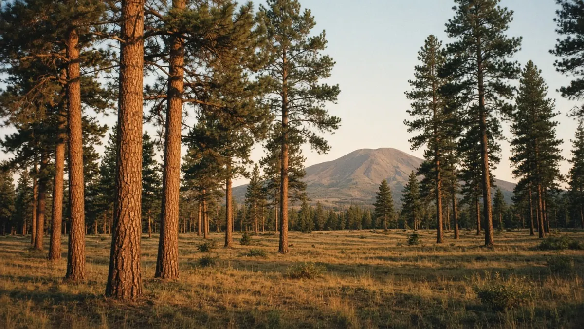
The air is cold enough to sting your nose, even with the sun full on your face. You’ve stepped a few yards off the road into the forest, and the ground gives slightly underfoot, a thick mat of long pine needles that crunch and slide. The trees are ponderosas, tall and straight and widely spaced, their bark broken into big plates the color of cinnamon.
Lean close to one of the trunks where the sun has been warming it, and you’ll catch a faint sweet scent, like vanilla or butterscotch. Many people find it hard to believe until they try it.
Between the trunks, to the north, the San Francisco Peaks rise above the forest, broad and pale with snow. They hold Arizona’s highest point, and they are sacred to many Native nations of the region, including the Hopi and the Navajo (Diné). A breeze moves through the crowns overhead with a long, soft hiss. Everything is bright, sharp and very clear.
Enjoy the light while it lasts. In Flagstaff the real show begins after it’s gone.
Quick plan
- How long
- Two nights, so at least one is clear and dark enough for the sky.
- Best months
- Mid-September to mid-October, then May and June.
- Winter warning
- Snow is possible from November to April. Check az511.gov before you drive.
- Road miles
- About 325 miles from Albuquerque; about 250 miles to Las Vegas.
Road notes: in on I-40, out on US-93
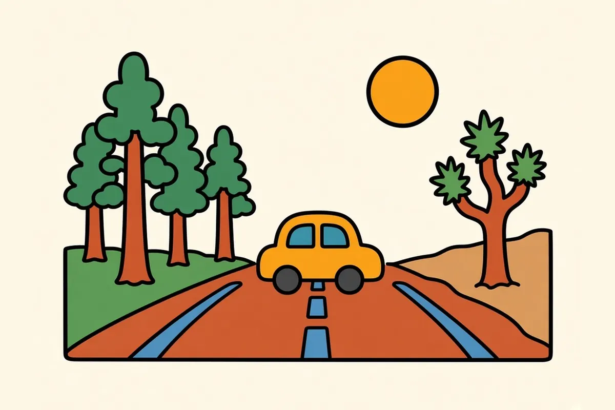
In from Albuquerque: It’s about 325 miles west on I-40, roughly 5 to 5.5 hours. You cross the Continental Divide and pass Gallup, Petrified Forest National Park and Winslow, then climb from high desert into the pines east of town. The Albuquerque page covers that stretch in detail.
Out to Las Vegas: It’s about 250 miles, roughly 4 to 4.5 hours. Take I-40 west about 148 miles to Kingman, past Williams and down off the high plateau, where the pines give way to juniper and then desert. At Kingman, turn north on US-93 for about 100 miles. The road crosses the Colorado River on the high bypass bridge just downstream of Hoover Dam, and on the Nevada side the highway is signed as I-11 alongside US-93 toward Henderson and Las Vegas. You drop from about 7,000 feet to about 2,000. In winter, that can mean leaving snow in the morning and arriving in desert sunshine by afternoon.
Fuel: Fill up in Williams or Kingman. US-93 has long gaps between services. If you want to visit Hoover Dam itself, check the Bureau of Reclamation’s current security screening and parking rules first.
Winter: Storms can close I-40 between Flagstaff and Williams, along with I-17 south of town. During storms, the state may post restrictions requiring chains or four-wheel drive. Check az511.gov before you leave, have a backup night ready, and read how I-40 compares with I-10 when snow is in the forecast.
Things to do in Flagstaff on a road trip, before the light goes
Pick one of these for an afternoon. Don’t try to do them all.
Walnut Canyon National Monument is about 12 miles east of downtown. The Island Trail loops around a limestone outcrop in the canyon, past cliff dwellings built into the walls by the ancestral Sinagua people. It’s paved but steep, with more than 700 stairs, and the climb back out is harder at this altitude than it looks. The rim trail is an easier alternative. Snow and ice can close the Island Trail in winter.
Sunset Crater Volcano and Wupatki national monuments are joined by a single loop road north of town. It runs from black cinder fields and lava flows below a young volcanic cone to red-rock pueblo ruins spread across open grassland. One vehicle pass covers both. Check current road status before you go.
The Museum of Northern Arizona, on Fort Valley Road toward the Peaks, covers the Colorado Plateau’s Native art, natural history and geology. It’s a good choice if the weather turns.
The Grand Canyon needs a full day. The South Rim is about 80 to 90 miles away, roughly 1.5 to 2 hours each way. Leave early, and check the park’s current entrance fee and whether an annual pass makes sense.
Whatever you choose, aim to be back in town before the sun gets low.
Golden hour downtown

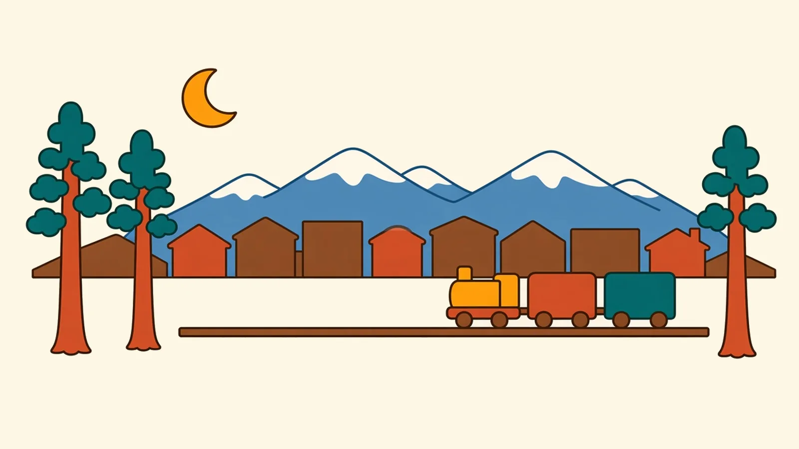
Late in the day the light turns amber and slants down Route 66, and the old downtown blocks warm to the color of honey. The railroad reached Flagstaff in 1882, and the town grew up beside it. The visitor center is in the 1926 train station, a Tudor Revival building still in use as an Amtrak stop on the Southwest Chief line.
The streets around it are lined with brick and red sandstone buildings: old hotels, outfitters, galleries and places to eat. Students in fleece and hiking boots fill the sidewalks. Every so often a long freight train rumbles through, crossing bells clanging, and everything waits.
Cross the tracks to the Southside, where restored buildings from the 1890s hold small eateries and breweries. As the sun drops behind the forest, the Peaks to the north turn pink.
Flagstaff neighborhoods on both sides of the tracks
Historic Downtown

Between Humphreys and Verde streets, north of Route 66, the old center holds hotels, outdoor shops, galleries and cafes in blocks of brick and sandstone. Everything is walkable.
Southside Historic District

South of the tracks, from Mike’s Pike to San Francisco Street and down to Butler Avenue, the Southside packs restored 1890s buildings, small eateries and breweries into a few walkable blocks.
Mars Hill and West Route 66
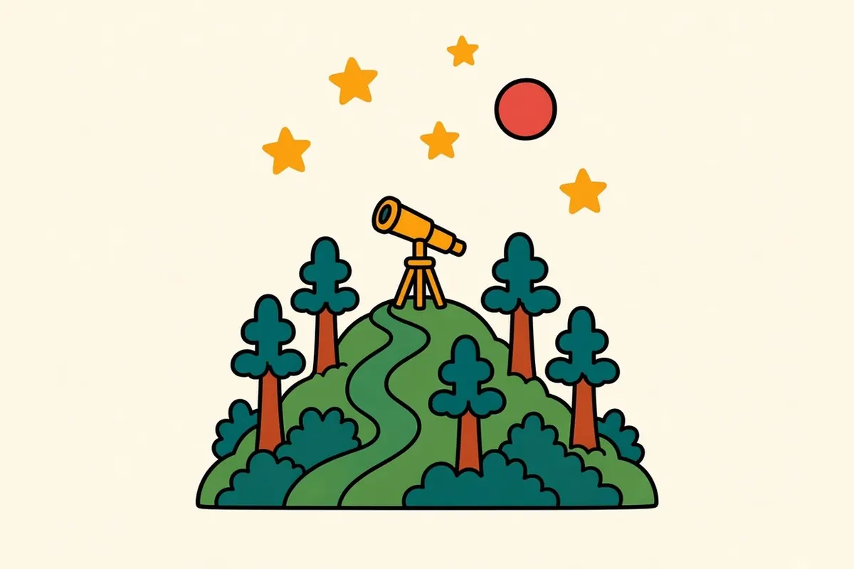
Lowell Observatory sits on Mars Hill, just west of downtown, reached by a road through the pines. Below it, West Route 66 still has classic motor courts and old roadside signs.
The NAU campus area
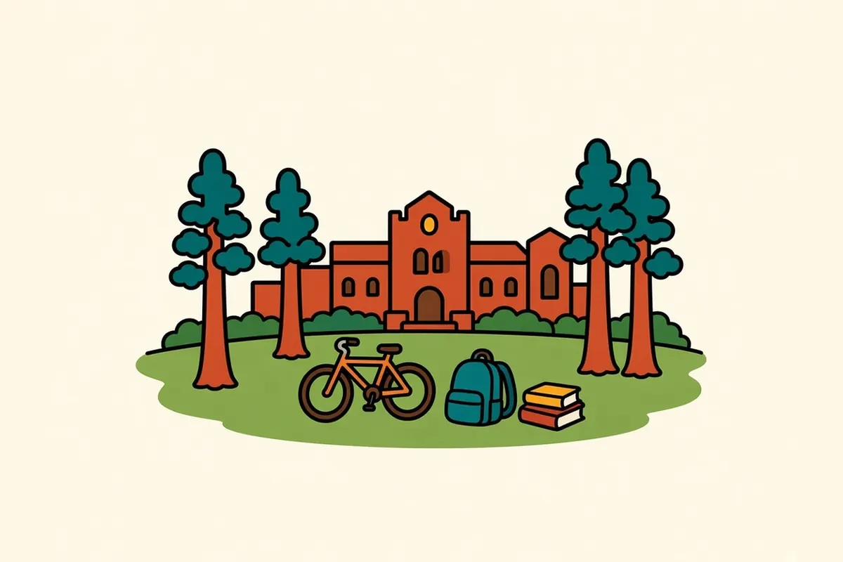
Northern Arizona University’s campus has sandstone buildings and wide lawns, with the student strip along Milton Road nearby. During the school year the area is full of life.
Townsite
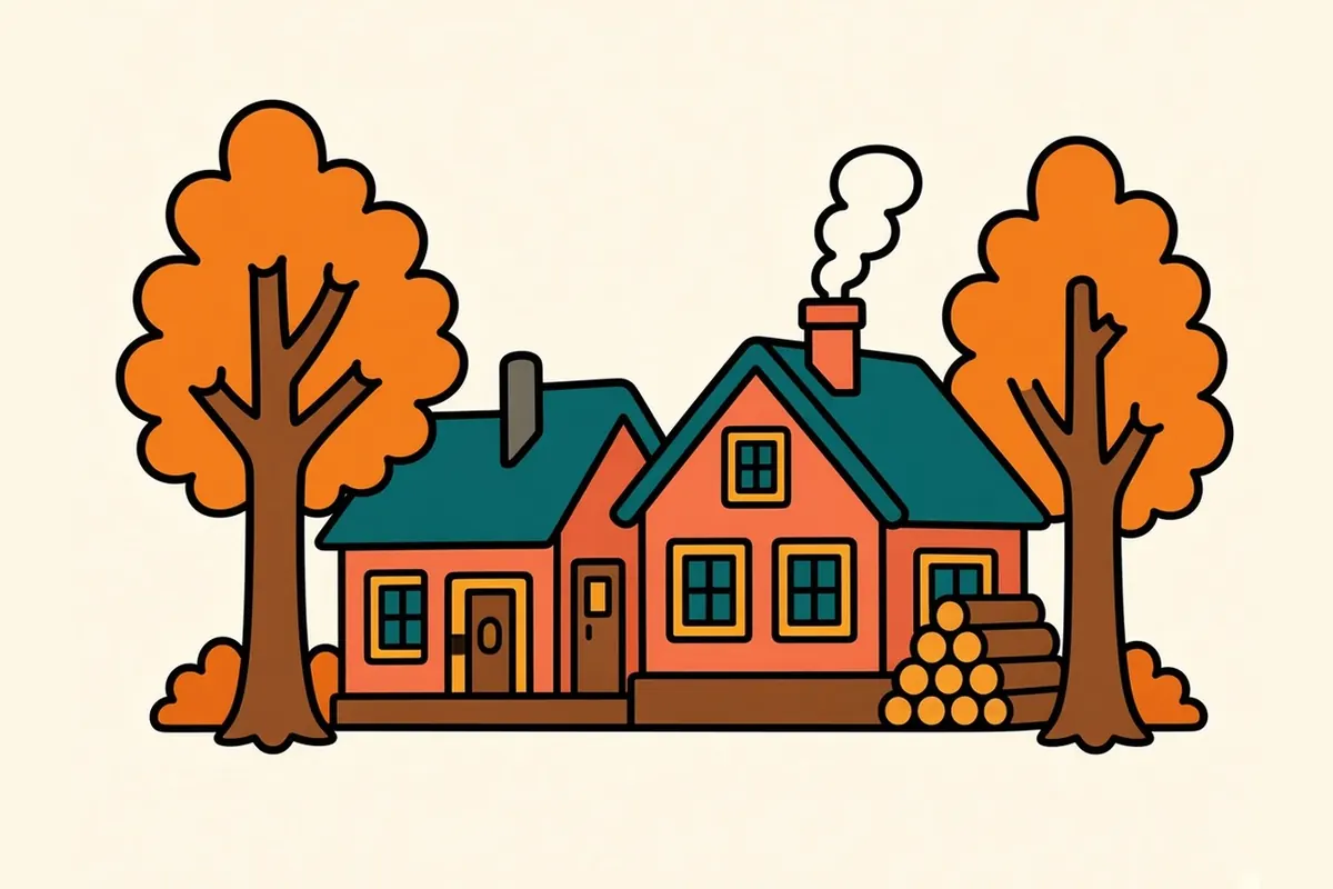
North of downtown, the Townsite historic residential district is a few quiet blocks of early-1900s homes along leafy side streets.
Fort Valley Road toward the Peaks
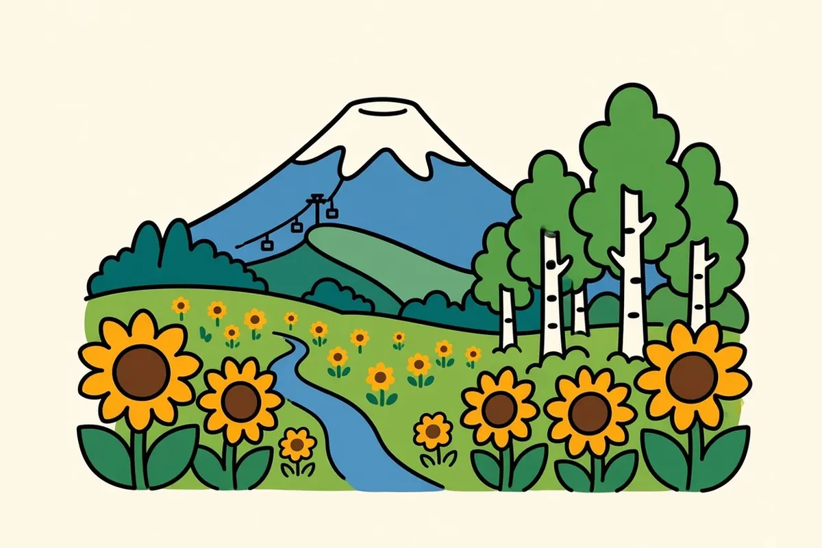
US-180 heads northwest out of town past the Museum of Northern Arizona, open meadows and the turnoff for the road up the Peaks to the ski area, which runs a scenic lift in summer. Trailheads line the way. It’s also the route to the Grand Canyon.
East Flagstaff and the Route 66 motel strip
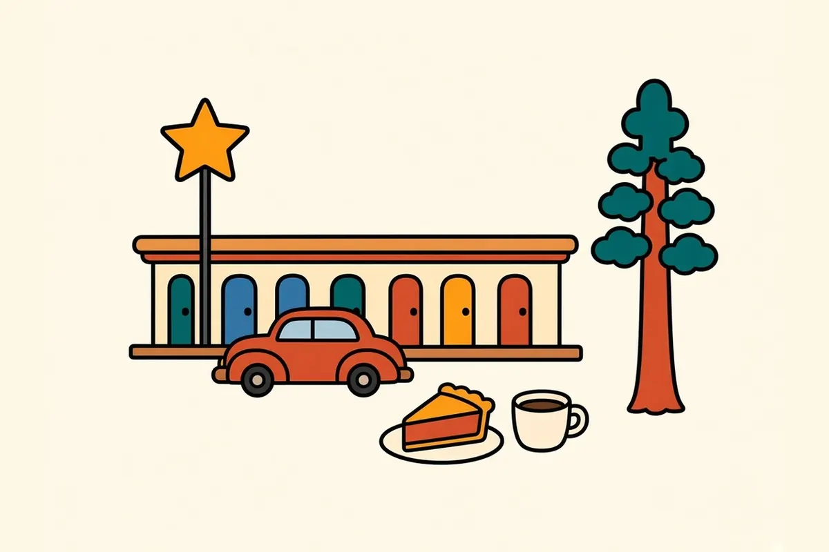
Heading east toward Walnut Canyon, Route 66 is lined with old motels, neon signs and diners from the highway’s busiest decades.
Best season for Flagstaff
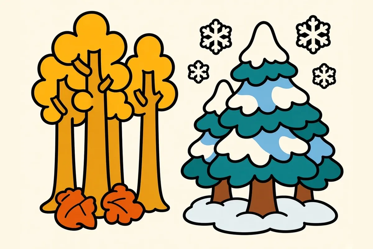
Winter: It’s a snow town, averaging about 90 inches a year. Downhill skiing and snowshoeing are the draws, with cold, clear nights.
Spring: Wind, lingering snow and changeable weather.
Summer: Warm days and cool nights. In July and August, afternoon monsoon storms bring thunder and lightning.
Fall: Aspens turn gold up on the Peaks from late September into early October, and the days are crisp and still.
I’d aim for the first two weeks of October, when the aspens are turning, the monsoon is over and the nights are long.
Making a living among the pines
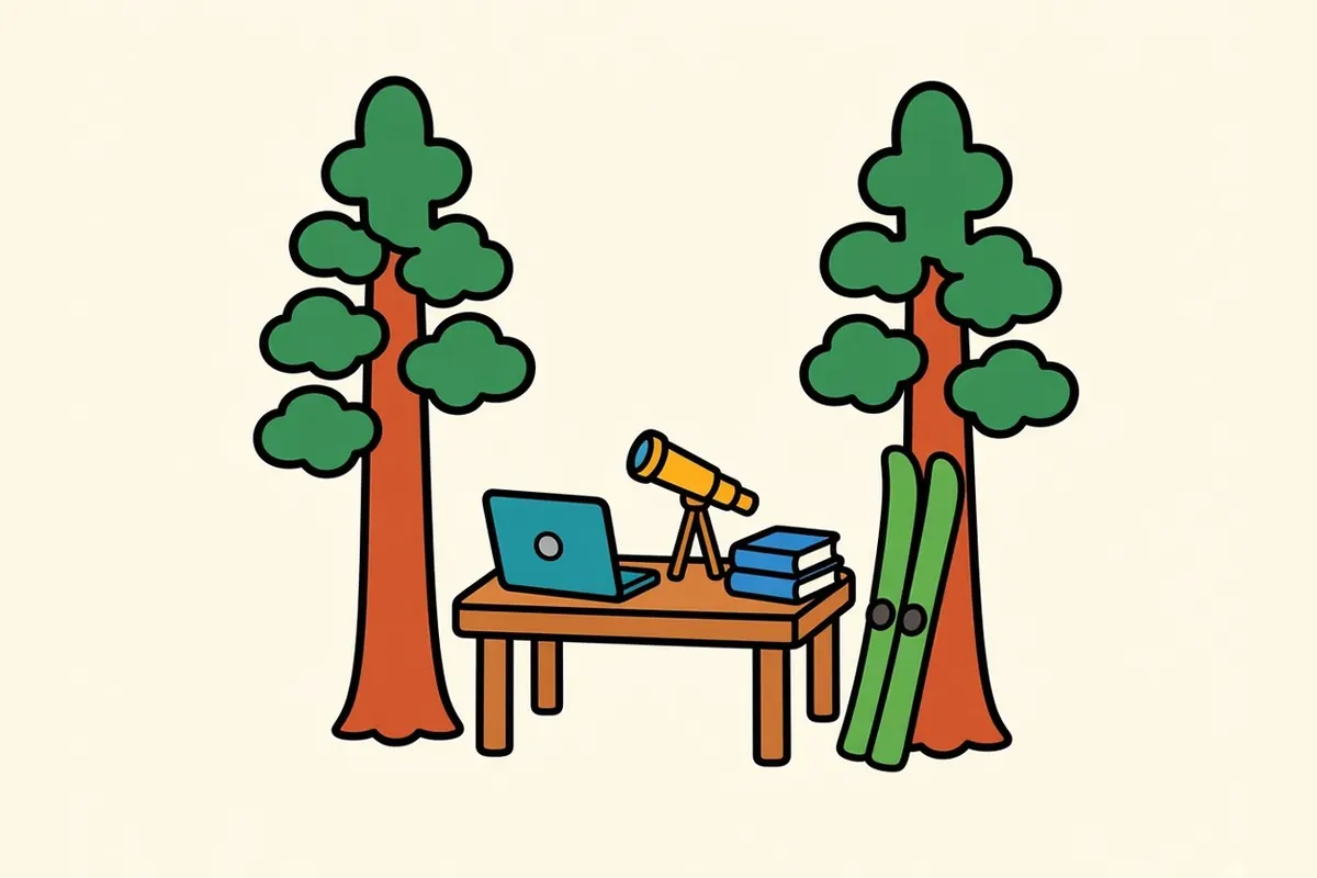
Northern Arizona University is the city’s anchor, and the regional medical center serves much of northern Arizona. Science runs deep in the local economy. Lowell Observatory, the U.S. Naval Observatory’s Flagstaff station and the U.S. Geological Survey’s astrogeology center all have offices in town, mapping skies and planets. Government and the Forest Service, tourism, and medical-device and other manufacturing fill out the picture.
Living in Flagstaff costs more than in much of Arizona, mainly because housing is tight in a university town surrounded by national forest.
In return you get proper winters in a state known for heat, forest and mountains at the edge of town, a walkable historic downtown, a young, outdoorsy crowd and a night sky that most cities lost long ago.
Flagstaff tips for the high country

- Winter driving: Check az511.gov before you leave Albuquerque or Las Vegas. Carry chains or have all-wheel drive in a storm, and plan a backup night in case a pass closes.
- Altitude: At about 7,000 feet, pace yourself on day one, drink plenty of water and keep the first evening’s drinks light. The Santa Fe page has more on adjusting.
- Layers: Summer nights drop to sweater weather. Bring a warm jacket for stargazing in any season.
- Monsoon: In July and August, get off exposed trails and peaks by early afternoon, before the lightning arrives.
- Grand Canyon: Leave early, and check the park’s current fees and pass rules before you go.
- Time zone: Arizona stays on Mountain Standard Time all year, so in summer Flagstaff matches Las Vegas and runs an hour behind New Mexico. The Navajo Nation, northeast of town, does observe daylight saving time. Double-check reservation times.
- Trains: Freight trains run through downtown day and night. If you’re a light sleeper, ask for a room away from the tracks.
Supper in a railroad and mountain town

Flagstaff eats like the railroad and ranching town it was, with a university crowd added. Breakfast diners along Route 66 serve big plates. Green chile and Sonoran-style dishes show up from elsewhere in the Southwest. Navajo (Diné) frybread, and Navajo tacos built on it, are common across northern Arizona. And craft breweries are part of the local culture; the visitor center runs a self-guided brewery trail.
By the time you finish eating, the sky above the street has gone from blue to deep indigo, and the first stars are out.
After dark: why the streetlights are dim
Walk outside after supper and something seems off. The streetlights are dim, and they glow amber instead of white. They’re shielded, pointing down rather than out. Signs are muted. Above the rooftops, you can see stars.
This is deliberate. Flagstaff has protected its night sky for decades, mainly for the sake of the observatories nearby, and in 2001 DarkSky International (then the International Dark-Sky Association) named it the world’s first International Dark Sky City. Its lighting rules limit how much light escapes upward.
Lowell Observatory, on Mars Hill above downtown, was founded in 1894. Pluto was discovered there in 1930, and its staff helped map the Moon for the Apollo program. On the evenings it’s open (it’s closed Tuesdays), telescopes on its open-deck observatory are available for public viewing after sunset, weather permitting.
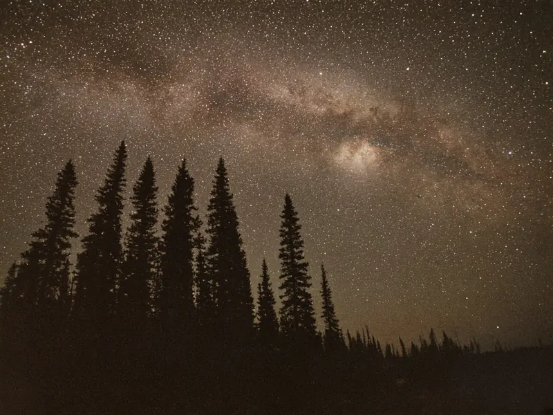
Better still, drive a few minutes out of town on a clear, moonless night and turn off the engine. The Milky Way spreads across the sky in a pale, grainy band. You can hear the wind in the pines again and feel the cold through your jacket.
Tonight’s sky:
- Check the moon phase. A new moon is darkest.
- Check the cloud forecast.
- Bring a warm layer.
- Use a red light, not a white phone screen.
- Give your eyes 20 minutes to adjust.
Next up is Las Vegas, where the desert comes first, long before the neon.
What’s the darkest sky you’ve ever stood under? Tell us where.
Common questions
What are the best things to do in Flagstaff on a road trip?
Walk the rim and cliff dwellings at Walnut Canyon, drive the loop through Sunset Crater and Wupatki, visit the Museum of Northern Arizona, wander downtown and the Southside along Route 66, and end the day at Lowell Observatory or anywhere dark enough to see the Milky Way. With a full day, add the Grand Canyon.
Where is the best stargazing in Flagstaff?
Lowell Observatory on Mars Hill offers telescope viewing after dark on the evenings it's open (it's closed Tuesdays). For your own stargazing, drive a few miles out of town to a pull-off or trailhead away from headlights. Even in town, the shielded streetlights leave the sky darker than in most cities. Pick a clear night near the new moon.
Can you do a Grand Canyon day trip from Flagstaff?
Yes. Grand Canyon Village on the South Rim is about 80 to 90 miles away, roughly 1.5 to 2 hours each way. Leave early, and check the park's current entrance fee and pass rules before you go.
Is it safe to drive to Flagstaff in winter?
Usually, with planning. Snow is possible from November into April, and storms can slow or close I-40 and I-17 or bring chain or four-wheel-drive restrictions. Check az511.gov before you leave, carry warm gear, and keep a backup night in case a road closes.
How long is the drive from Albuquerque to Flagstaff, and from Flagstaff to Las Vegas?
Albuquerque to Flagstaff is about 325 miles west on I-40, roughly 5 to 5.5 hours. Flagstaff to Las Vegas is about 250 miles, roughly 4 to 4.5 hours, west on I-40 to Kingman and then north on US-93 across the Colorado River.
What is the cost of living like in Flagstaff, and what are the main jobs?
Flagstaff costs more than much of Arizona, mostly because housing is tight in a university town surrounded by national forest. The main employers are Northern Arizona University, health care, science and astronomy, government and the Forest Service, tourism and manufacturing.