04 City Guides Texas
El Paso Road Trip Guide: Mountains, Missions & Border Life
Summary
El Paso is the fourth stop on this road trip, at the far western tip of Texas, and the only big Texas city on Mountain Time, an hour behind the rest of the state. The best things to do in El Paso on a road trip are easiest in spring and fall, and winter is mild enough for hiking. This guide covers the Scenic Drive overlook, the Mission Trail, the neighborhoods and the drive north to Santa Fe.
Just west of Van Horn, where I-10 crosses from Culberson into Hudspeth County, the clock on your phone slips back an hour without a sound, and it feels as if the long West Texas drive has handed you a little time back.
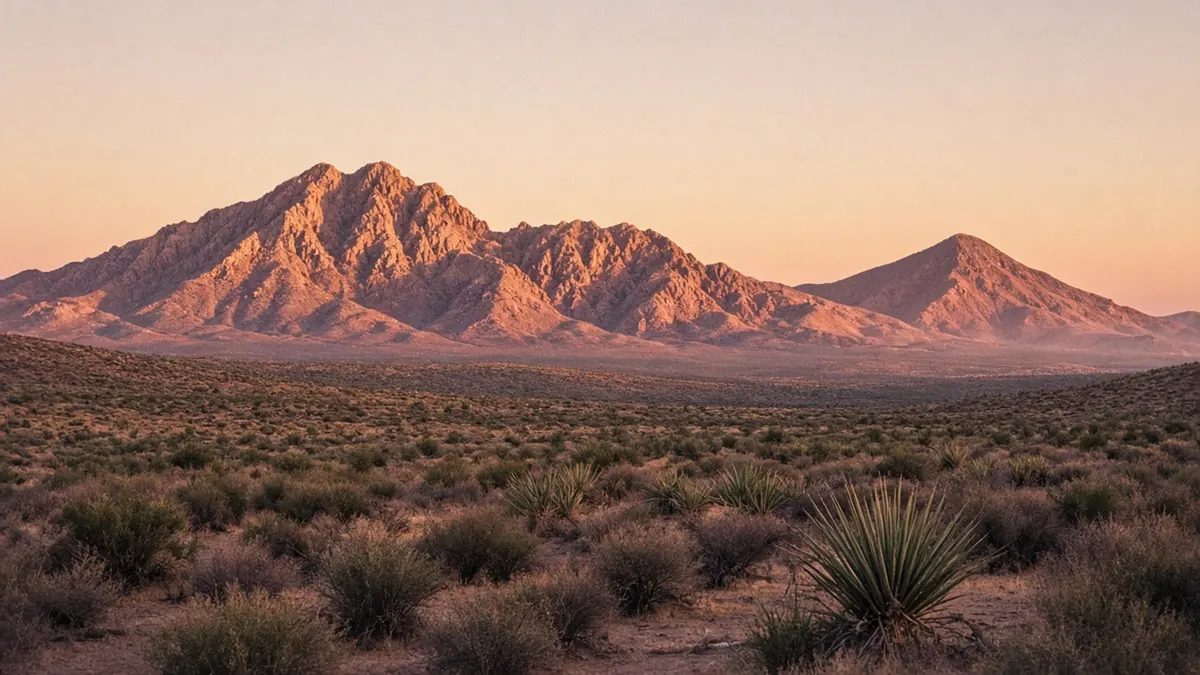
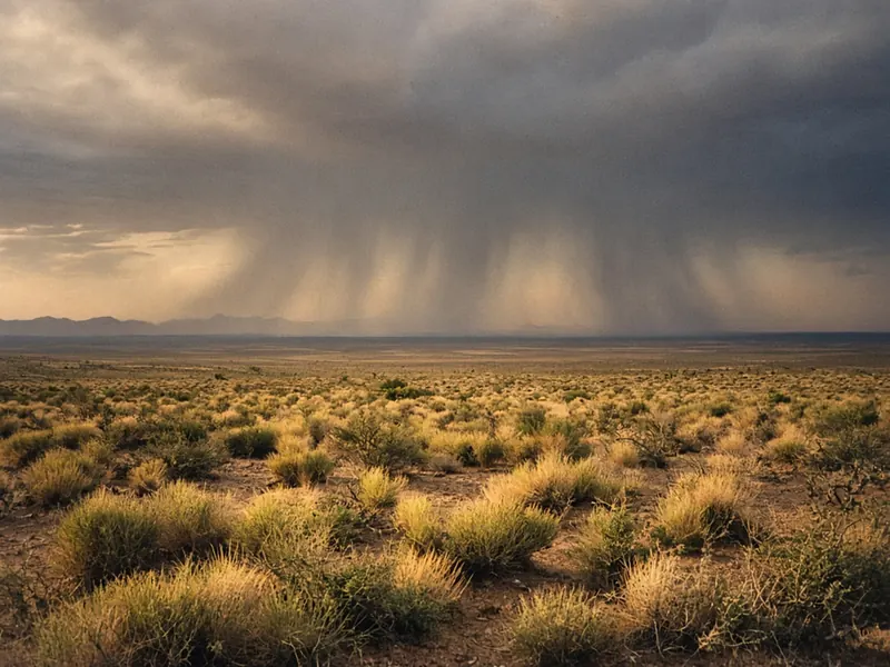
You’ve been on the road since morning, and the desert has been doing what it does out here: running wide and tan to the edge of the world, with creosote and yucca on the flats and low desert ranges laid along the horizon like sleeping animals, so far off that they barely seem to move while you drive. The sky is enormous and almost colorless at midday, and the air is so dry and clear that a ridge forty miles away looks close enough to walk to. Past Sierra Blanca the road drops toward the Rio Grande, and the colors change: green squares of irrigated fields and rows of pecan trees along the river, then the first houses, then a dark wall of rock coming up ahead.
That’s the Franklin Mountains, and El Paso is wrapped around them. You gain an hour and lose the open horizon in the same stretch of road. After 550 miles of open country, the city arrives in one sweep, framed by a mountain, a river and another country. To understand it, start at the top and work your way down.
Quick plan
- How long
- Two days, or three with a Hueco Tanks reservation.
- Best months
- March to May and September to November, with October first.
- Clock
- Mountain Time, an hour behind the rest of Texas.
- Drive in and out
- About 550 miles from San Antonio; about 330 miles to Santa Fe.
From the top of Scenic Drive
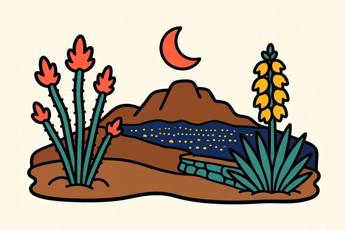
Scenic Drive curls around the southern end of the Franklins, and from the pull-off at Scenic Point the whole region spreads out below you. El Paso fills the foreground, low and sunlit. Beyond the thin green line of the Rio Grande, Ciudad Juárez spreads south across the desert, so that the two cities read as one continuous spread of streets with the river between them. To the east is the Hueco valley, to the west the Mesilla valley curving north into New Mexico, and the mountain under your feet splits the city into an east side and a west side.
This spot is where the region’s old name makes sense. These mountains are the northern ramparts of the Paso del Norte, the Pass of the North, the low gap where the river cuts through and where travelers on the old royal road crossed for centuries.
Come back after dark. The lights of two cities run together into one huge glittering field, and only the dark thread of the river marks the line between them.
Things to do in El Paso on a road trip
The practical short list comes first, then the close-ups:
- Franklin Mountains State Park: Texas Parks and Wildlife bills it as the largest urban park in the nation, and every acre of it sits inside the city limits. Trails climb through rock and cactus to wide views in every direction.
- Hueco Tanks State Park & Historic Site: About 35 miles east, it’s known for its boulders, rock climbing and ancient rock paintings. Access is limited and reservations are needed, so plan ahead (see the tips below).
- The Mission Trail: Three historic churches strung along the old valley road southeast of downtown.
- Chamizal National Memorial: A National Park Service site commemorating the 1963 agreement that peacefully settled a long boundary dispute between the United States and Mexico.
- Downtown museums: El Paso’s art and history museums sit close together near the plaza.
- Murals: They’re all over the city, densest in Segundo Barrio and Lincoln Park.
The Wyler Aerial Tramway up Ranger Peak has been closed since 2018, and its replacement isn’t expected to be built before 2027–28, so don’t plan on riding it this trip.
The Mission Trail, down the old valley road
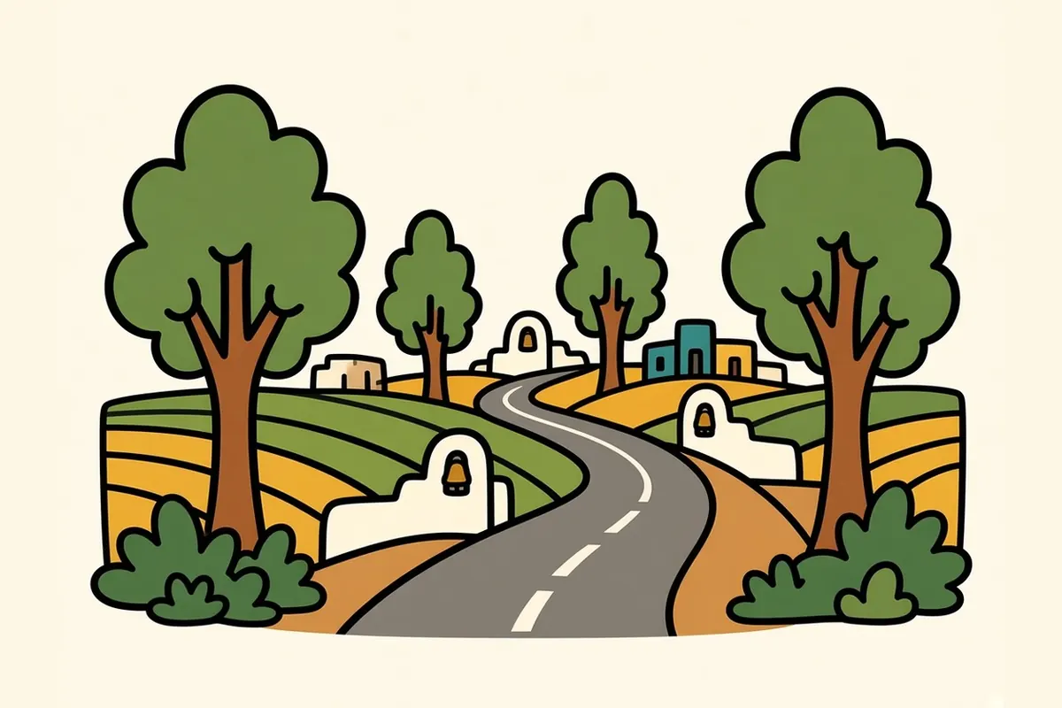
Socorro Road runs about nine miles through the Rio Grande valley southeast of the city, and it feels like a different place from downtown: irrigation canals, cotton and alfalfa fields, cottonwoods, small adobe houses, roadside stands. White mission walls rise above the fields at three points along the way.
Ysleta Mission comes first. It was founded in 1682 by Tigua people who had come south after the Pueblo Revolt, and it’s considered the oldest continuously active parish in Texas. The Tigua community is still here as Ysleta del Sur Pueblo, and the mission still serves as a parish.
Further down the road, Socorro Mission has thick adobe walls and carved wooden ceiling beams inside. At the end, San Elizario began as a Spanish presidio, a frontier fort, and its white chapel faces a quiet plaza that feels a long way from the interstate.
All three are active churches, so dress and behave as you would at any service, and check visiting and mass times.
El Paso neighborhoods on both sides of the mountain
Downtown
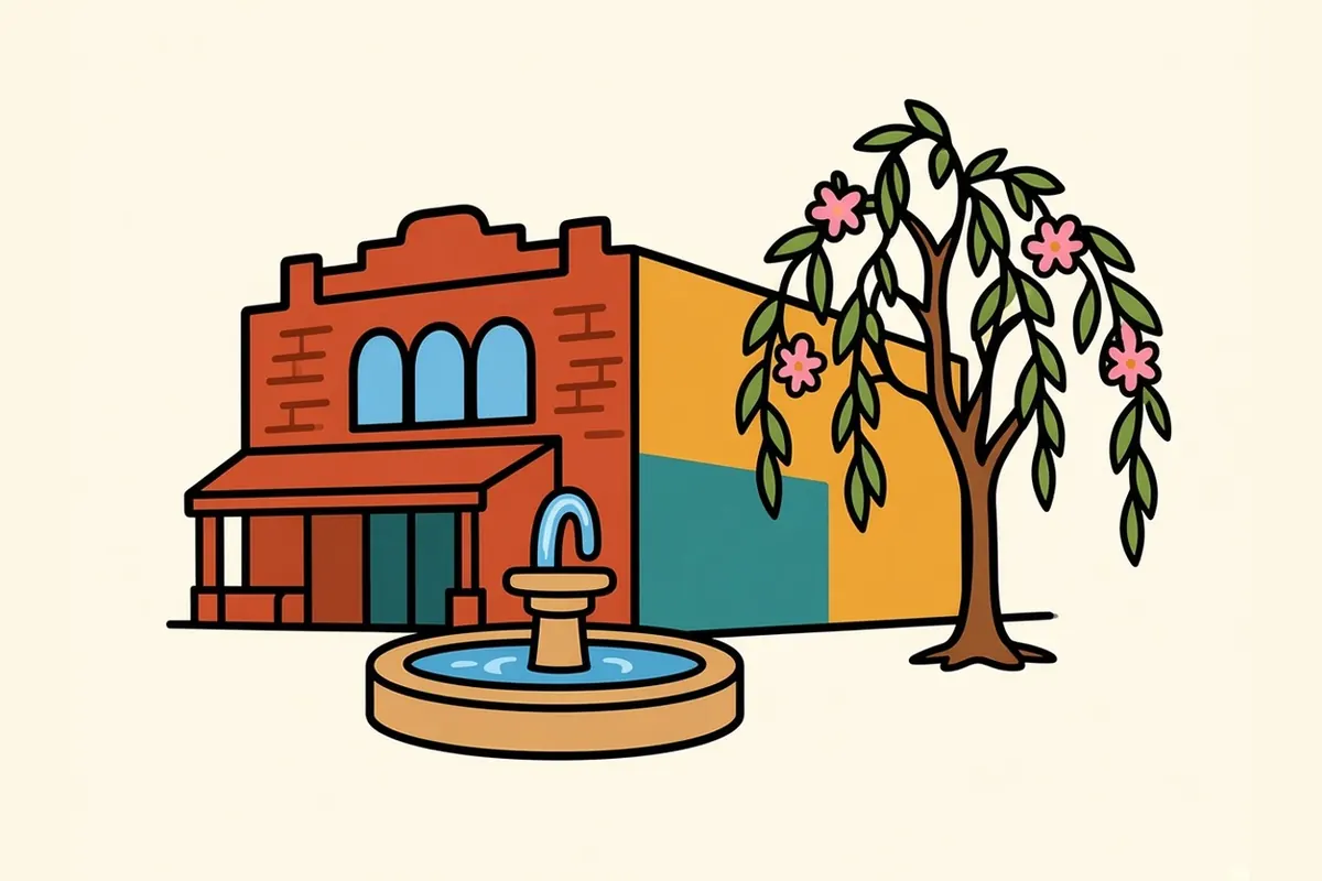
Downtown holds a deep bench of early-1900s buildings, many of them designed by the architect Henry Trost. Around the plaza, the museums and the arts district, the city’s mural tradition starts to show on side walls and alleys.
El Segundo Barrio
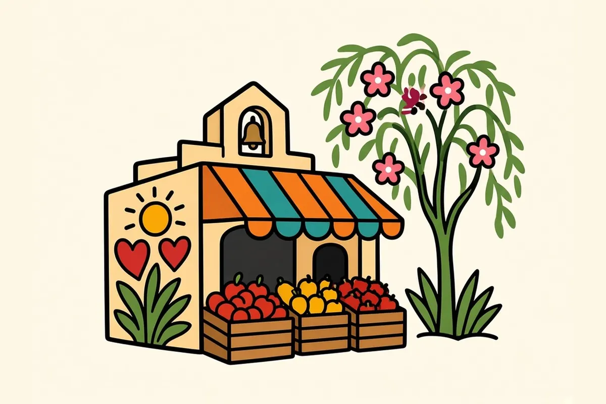
Just south of downtown, between the business district and the border, Segundo Barrio is one of El Paso’s oldest neighborhoods. It has dozens of Chicano murals. Walls painted with family histories and political struggles share blocks with small markets and churches.
Sunset Heights
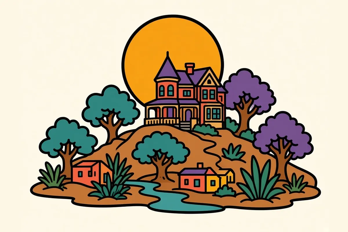
On the hillside above downtown, Sunset Heights holds Victorian-era houses with wide porches, many of them carefully restored. From its upper streets, the view runs straight across the river to Juárez.
Kern Place
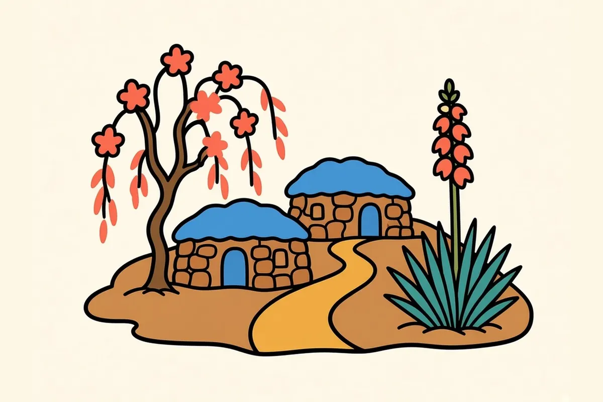
Near the University of Texas at El Paso, Kern Place climbs the foothills with stone houses and curving streets. Cincinnati Avenue, at its edge, is the student-area strip for food and drinks.
Manhattan Heights
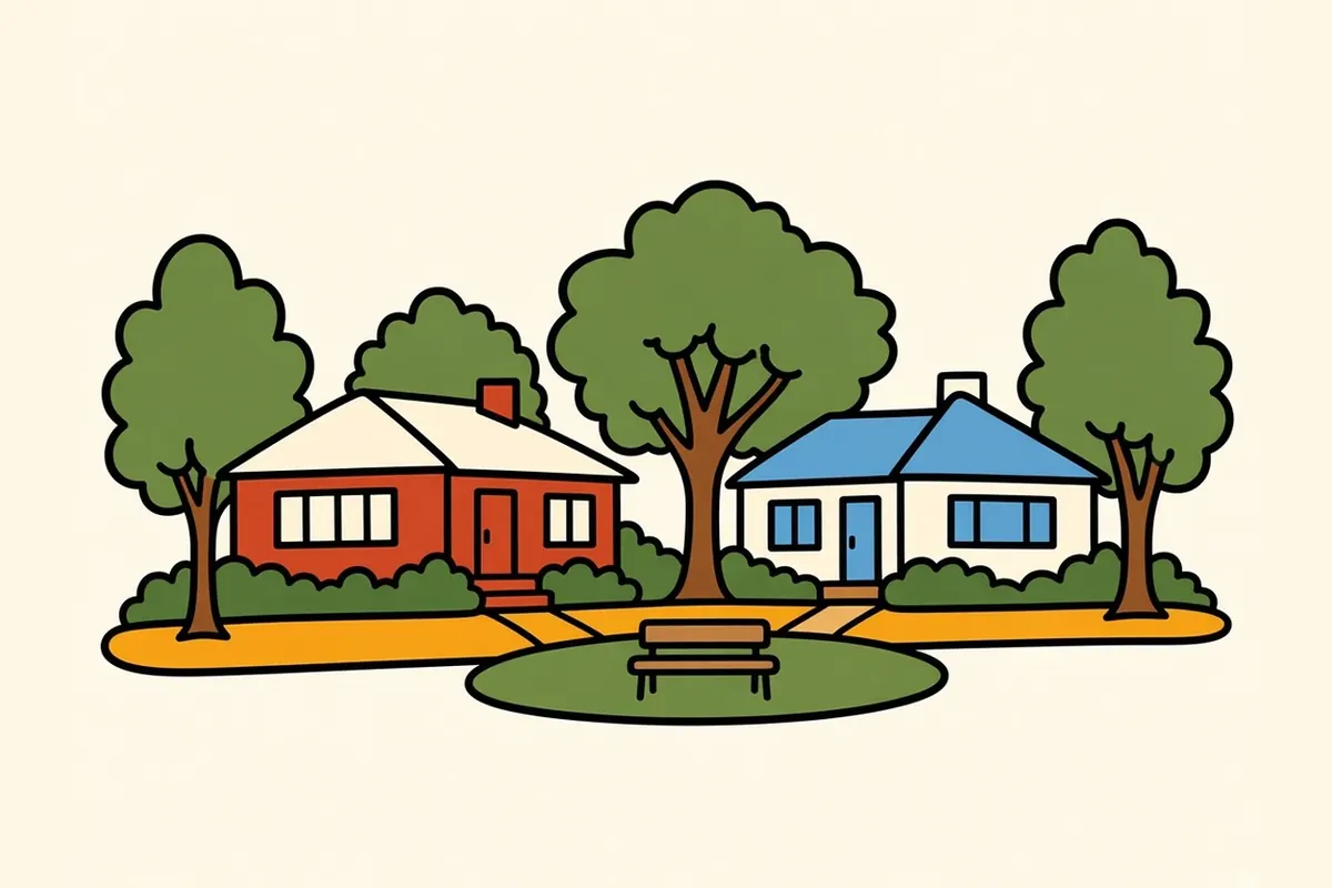
On the way up toward Scenic Drive, Manhattan Heights keeps its 1920s and 1930s homes, with brick and stucco houses on tree-lined streets around a park.
Lincoln Park and the Spaghetti Bowl murals

Where I-10 meets US 54, the tangle of overpasses is known as the Spaghetti Bowl. Underneath it, the concrete pillars of Lincoln Park are covered in murals, some dating to the early 1980s. Faces, saints, family scenes and history climb the columns while traffic rumbles overhead. Nothing else on this route looks quite like it.
Mission Valley and Ysleta
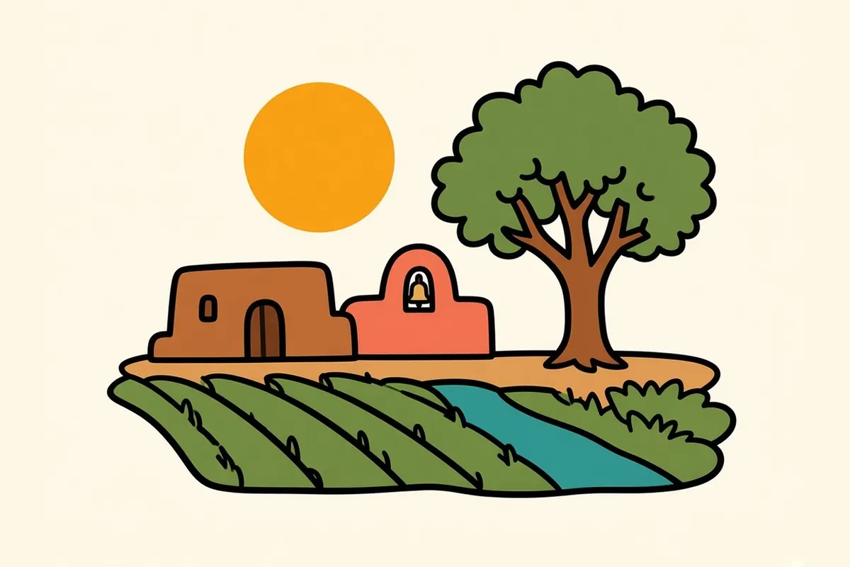
The old river valley around the missions is where the area’s Spanish-era settlement took root, with irrigated fields, adobe homes and Ysleta del Sur Pueblo, home of the Tigua.
The Westside and the Upper Valley
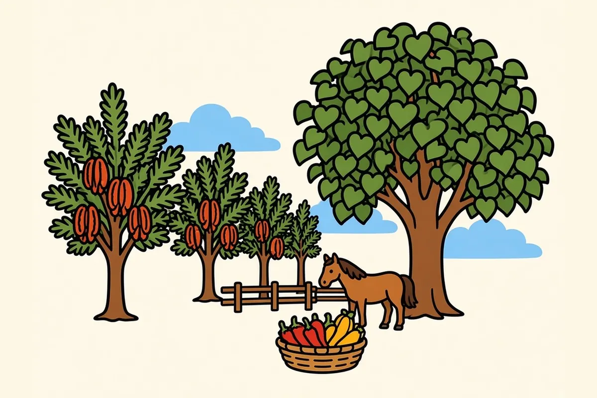
Northwest along the river, the Upper Valley is pecan orchards, horse properties and big cottonwoods, cooler and greener than the desert just above it. On Sundays an artist and farmers market sets up on the Westside, rotating between two locations through the month.
What the border kitchen tastes like

The food of El Paso comes from both sides of the river, and much of it from the state of Chihuahua just to the south. Red chile, slow-cooked and deep red, coats enchiladas and meat. Green chile goes into stews, sauces and burritos. Flautas are rolled tight and fried crisp. Burritos are often simple: one or two fillings wrapped in a big, thin flour tortilla.
In late summer, the chile harvest comes in from the Mesilla and Hatch valleys just north in New Mexico, and roasting season fills that whole stretch of river country with the smell of charred skins.
Then it comes down to one plate.
A thin flour tortilla, warm from the griddle. Red chile, glossy and dark. Steam in the dry air. A little heat at the back of the throat. A cold drink sweating on the table.
El Paso seasons: sun, wind and monsoon
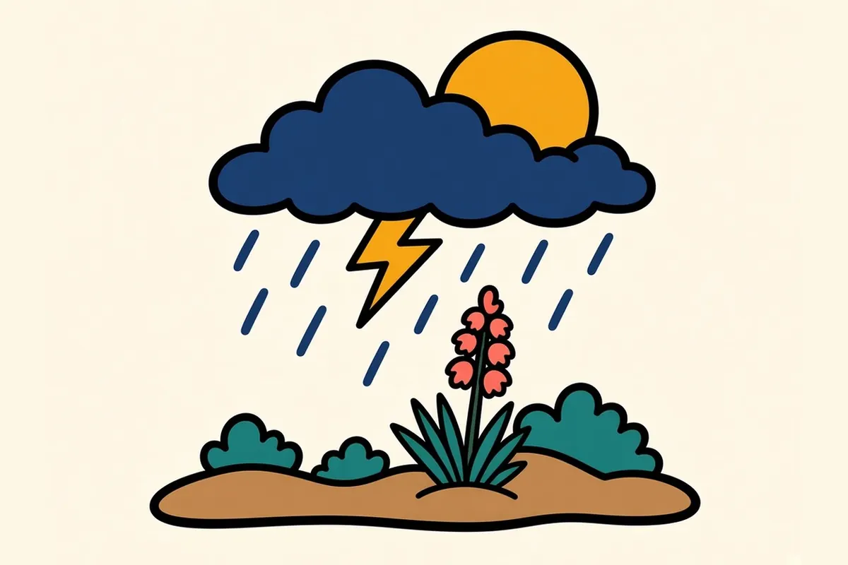
Spring (March to May) and fall (September to November) bring warm, sunny days and cool nights, and they’re the easiest seasons to visit. If I could pick only one month, I’d pick October, when the heat is gone and the spring wind hasn’t arrived. Spring also brings strong winds and dust, and gusts can sometimes close highways around the region. Summer starts hot and dry, and from midsummer into early fall the monsoon brings afternoon storms, sudden downpours and the smell of creosote after rain. Winter is mild during the day and cold at night, and it’s a good season for hiking.
Late December brings the city’s long-running New Year’s Eve college bowl game and its week of events, and downtown WinterFest puts an ice rink on the Convention Center plaza from November 21, 2026, to January 3, 2027. Chalk the Block, an annual public-art weekend downtown, usually lands in early October.
Making a life in El Paso
Fort Bliss, the huge Army post on the city’s northeast side, is the area’s largest employer. Much of the rest of the economy is tied to the border: cross-border trade, customs and logistics connected to manufacturing in Juárez. Health care is a growing sector that serves patients from both sides of the border. Government, retail and the University of Texas at El Paso, with its research in advanced manufacturing and aerospace, round it out.
El Paso is among the more affordable big cities in Texas, far below the coastal metros, and the state has no personal income tax.
The case for staying is the same view you get from Scenic Drive: mountains inside the city, sun nearly all year, a bilingual and binational culture, history from the missions to the Trost buildings, and a friendly, unhurried pace.
Know before you go: El Paso tips
- Mountain Time: El Paso runs an hour behind the rest of Texas. Recheck any reservation or tour times you booked before the drive.
- Sun and dry air: Carry water and sunscreen even in winter. The dry air dehydrates you faster than you notice.
- Wind: In spring, strong gusts and blowing dust can cut visibility on I-10. If dust closes in, the advice in I-10 vs. I-40 in winter applies: don’t drive into it, and if it catches you, pull well off the pavement, turn off all your lights and wait it out.
- Hueco Tanks: Reserve ahead with Texas Parks and Wildlife. The self-guided area allows a limited number of people at a time and fills on winter weekends, and first-time visitors must watch an orientation video.
- Scenic Drive: Go at sunset or after dark for the lights. Parking at the pull-off is limited.
- Mission Trail: Drive Socorro Road as a loop from Ysleta to San Elizario and back. Check mass and visiting times.
- Crossing into Juárez: Bring a passport or other accepted travel document, and check current U.S. and Mexican entry requirements and official travel guidance before you go.
North to Santa Fe
The drive out begins west on I-10, about 45 miles to Las Cruces, where I-25 starts north. From there it follows the Rio Grande corridor, with farm towns in the valley and long, empty desert stretches between them. Off to the east lies the Jornada del Muerto, the waterless shortcut that travelers on the old royal road dreaded. The road climbs steadily, and by the end you’re more than a mile higher than the Texas Gulf Coast where this trip began.
It’s about 330 miles to Santa Fe, roughly 5 to 6 hours. No clock change this time. You’re already on Mountain Time.
Common questions
What are the best things to do in El Paso on a road trip?
Take in the city from the Scenic Drive overlook, hike or drive into Franklin Mountains State Park, follow the Mission Trail through Ysleta, Socorro and San Elizario, visit Chamizal National Memorial and the downtown museums, and see the murals of Segundo Barrio and Lincoln Park. If you can get a reservation, add a day at Hueco Tanks.
Is El Paso in Mountain Time?
Yes. El Paso and Hudspeth counties are the only Texas counties on Mountain Time. Driving west on I-10, the clock goes back an hour at the Culberson–Hudspeth county line, just west of Van Horn.
What is the El Paso Mission Trail, and how long does it take?
It's a route of about nine miles along Socorro Road in the Rio Grande valley southeast of downtown, linking Ysleta Mission, Socorro Mission and the San Elizario Chapel. Allow half a day to drive it with stops, and check visiting and mass times, since these are active churches.
What are the best neighborhoods to explore in El Paso?
Downtown, El Segundo Barrio, Sunset Heights, Kern Place, Manhattan Heights, Lincoln Park, the Mission Valley around Ysleta, and the Westside and Upper Valley each show a different side of the city.
How long is the drive from San Antonio to El Paso, and from El Paso to Santa Fe?
San Antonio to El Paso is about 550 miles on I-10, roughly 8.5 to 9 hours of driving. El Paso to Santa Fe is about 330 miles, roughly 5 to 6 hours, west on I-10 to Las Cruces and then north on I-25.
What is the cost of living like in El Paso, and what are the main jobs?
El Paso is one of the more affordable big cities in Texas and costs far less than the coastal metros, with no state personal income tax. Fort Bliss is the largest employer, alongside cross-border trade and logistics, health care, government, retail and the University of Texas at El Paso.