Summary
Charlottesville is a walkable Piedmont city with a brick pedestrian mall, a historic university at its center and the Blue Ridge lined up along its western skyline. This guide to things to do in Charlottesville on a road trip moves from the mall to the university and the neighborhoods, then points you toward the park. Rockfish Gap, the south entrance to Shenandoah National Park and Mile 0 of the Blue Ridge Parkway, is about 24 miles west, and the full park guide is on the Shenandoah National Park page.

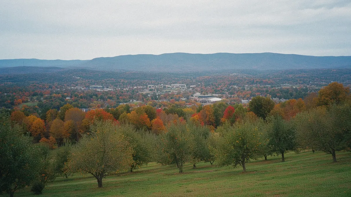
You can see the Blue Ridge from town, but the park road is still a short drive west.
It’s mid-afternoon on the Downtown Mall, and the bricks under your feet are warm. There are no cars here, just a long pedestrian street lined with low storefronts, café tables set out under the trees and people drifting from shop to shop. A street musician plays somewhere near the middle. Kids run ahead of their parents along the bricks.
At the next cross street, you glance west, and there they are past the last buildings: the mountains, a long blue line along the horizon, soft in the afternoon light.
From here they seem a stroll away. They aren’t.
So how far is that ridge really, and how do you get up onto it?
Quick plan
- How long
- Base yourself here two nights, longer if Shenandoah is on the plan.
- Best months
- May and the early fall; winter suits the city, while Skyline Drive depends on the weather.
- Getting in
- CHO is about 9 to 10 miles north of downtown; I-64 and US-29 by road; Amtrak trains on West Main Street.
- The park
- Rockfish Gap is about 24 miles west, 25 to 30 minutes; see the Shenandoah National Park page.
- From Roanoke
- About 120 miles, a little over two hours.
Getting there

By air: North of town, Charlottesville-Albemarle Airport (CHO) sits about 9 to 10 miles from downtown. Bigger airports in Richmond and around Washington work too, so compare fares from where you live.
Highways: I-64 runs east to west, toward Richmond in one direction and Rockfish Gap, Waynesboro and Staunton in the other. US-29 runs north and south, and US-250 crosses town east to west. Skyline Drive starts at Rockfish Gap, beside the Blue Ridge Parkway’s Mile 0.
By rail: Charlottesville’s Amtrak station sits on West Main Street, between downtown and the university. The Northeast Regional, the Cardinal and the Crescent stop there. Check Amtrak for current schedules before you count on a train.
Drive times (all approximate):
- Roanoke: about 120 to 121 miles, roughly 2 hours to 2 hours 20 minutes.
- Richmond: about 70 miles, roughly 1 hour 10 minutes to 1 hour 25 minutes.
- Washington, DC: about 116 miles, roughly 2 hours 10 minutes to 2 hours 40 minutes.
- Staunton: about 40 miles, roughly 40 to 50 minutes.
- Front Royal: about 74 miles, roughly 1 hour 35 minutes to 1 hour 50 minutes.
Arrive by train and you can walk straight into the first afternoon.
Things to do in Charlottesville on a road trip, mall, lawn and the gap beyond
Charlottesville is a compact city in the Piedmont, the rolling country east of the Blue Ridge. The Downtown Mall is the heart of town, and West Main Street links it to the university, with the historic Lawn at its center. Around those two poles sit small neighborhoods like Belmont and the old mill district along the Rivanna River. Monticello stands on a mountain just southeast of town.
A loose way to split your time:
- Day one: the Downtown Mall, then West Main Street to the university and the Lawn.
- Day two: Monticello in the morning, Belmont or Woolen Mills in the afternoon.
- Day three: a drive west to Crozet and on to Skyline Drive at Rockfish Gap.
Shenandoah National Park lies about half an hour west, with its own full guide.
The seasons suit the city well. Spring brings flowering trees across the university grounds, summer is warm and humid, and fall color spreads from the ridge down into the foothills. Winter is quieter and mostly mild in town, even when snow or ice closes the road on the ridge.
The city is small enough to walk, and the mountains are close enough to plan around.
Charlottesville, mall to mountain view
The Downtown Mall
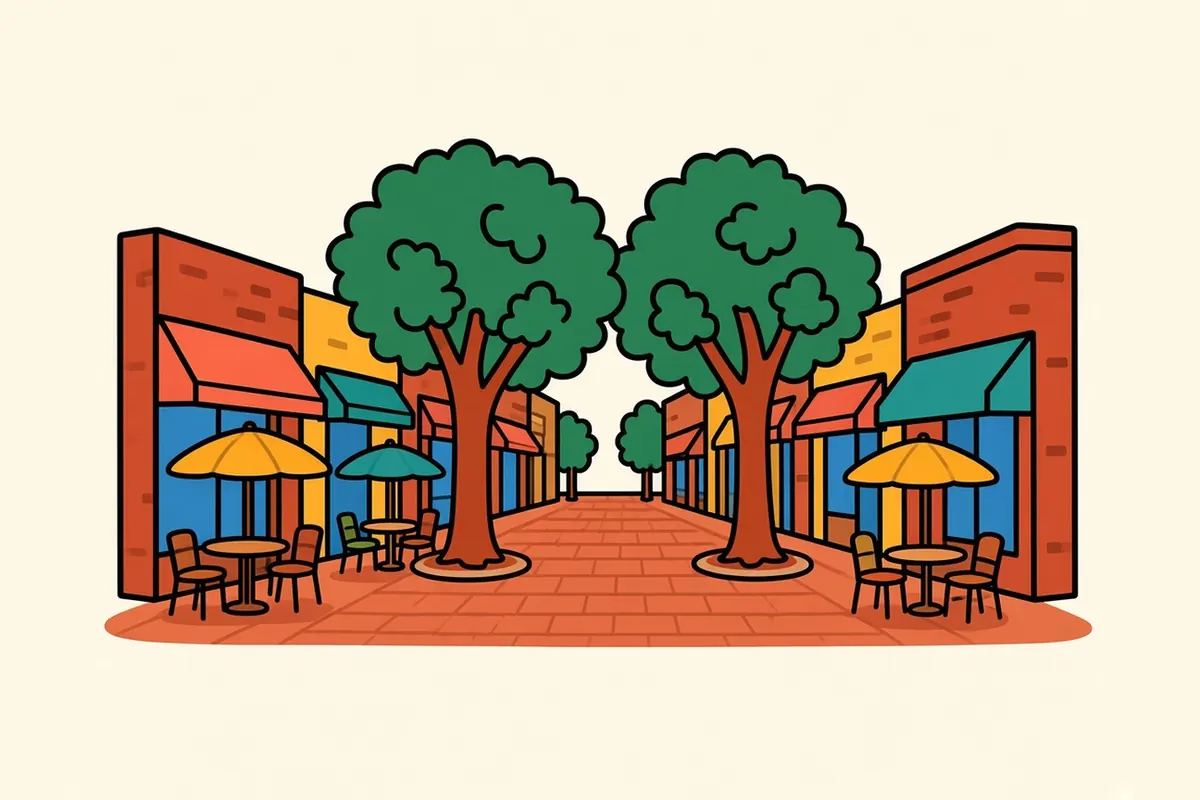
The Downtown Mall is a long pedestrian street paved in brick, lined with restaurants, shops, galleries and theaters in older low buildings. Trees shade the middle, and cafés set tables out along its length. It’s the city’s living room, busy at lunch and again in the evening, and the easiest place to start any visit. Side streets cross it every block or so, and each one frames a slice of the town beyond: a church steeple, a hillside of houses, or, looking west, that line of mountains. Spend an hour pacing it end to end and back, and you’ll have the measure of downtown.
The university, the Lawn and the Corner
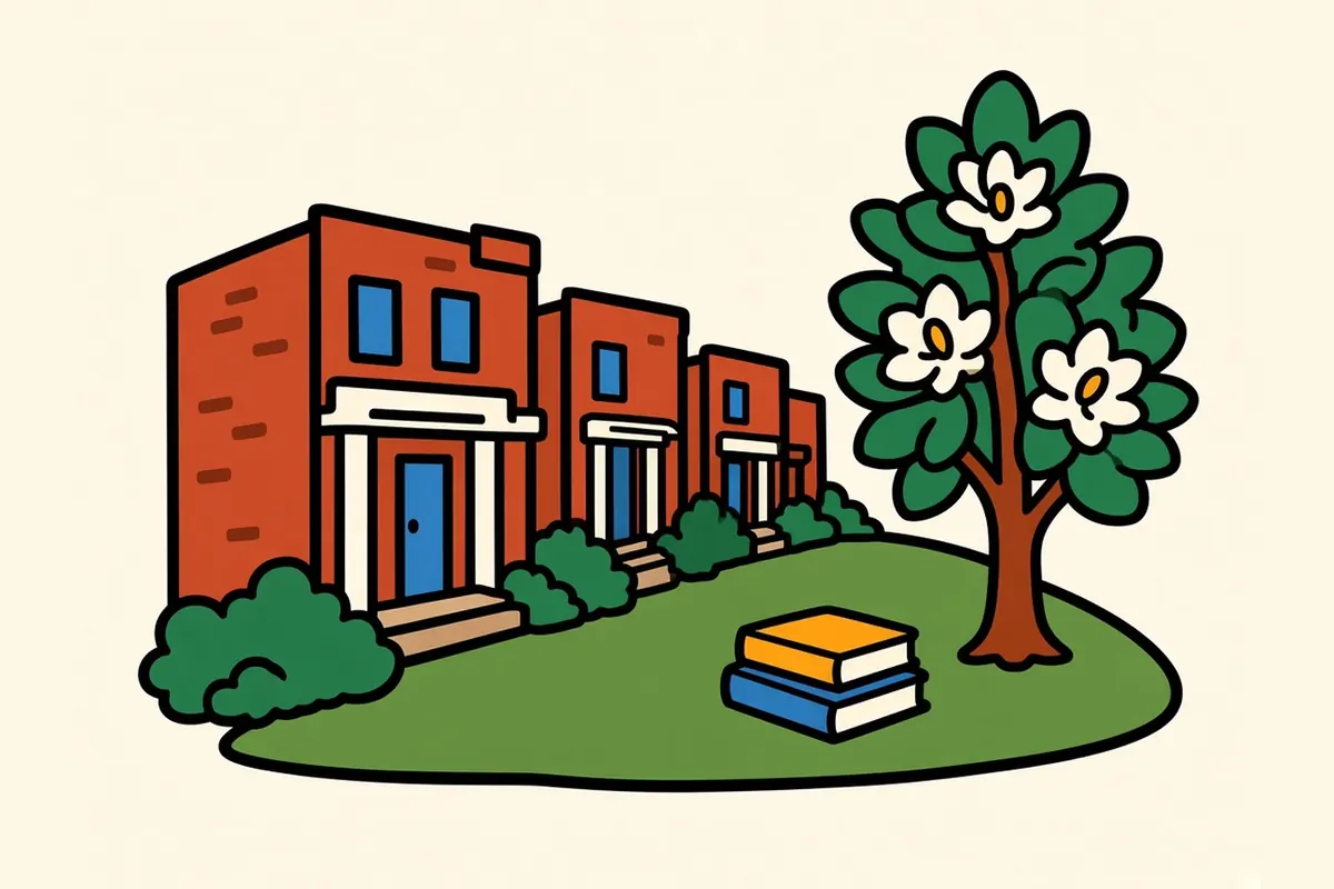
The University of Virginia’s historic center is the Lawn, a long terraced green lined with columned pavilions and student rooms, with the domed Rotunda at its head. This original core of the university shares World Heritage status with Monticello. Visitors are welcome to tour the grounds, and the Rotunda opens every day for self-guided visits during posted hours. The rooms along the Lawn are student housing, so keep to the paths. Just across University Avenue, the Corner is a small commercial strip of cafés and shops that serves the campus.
Belmont
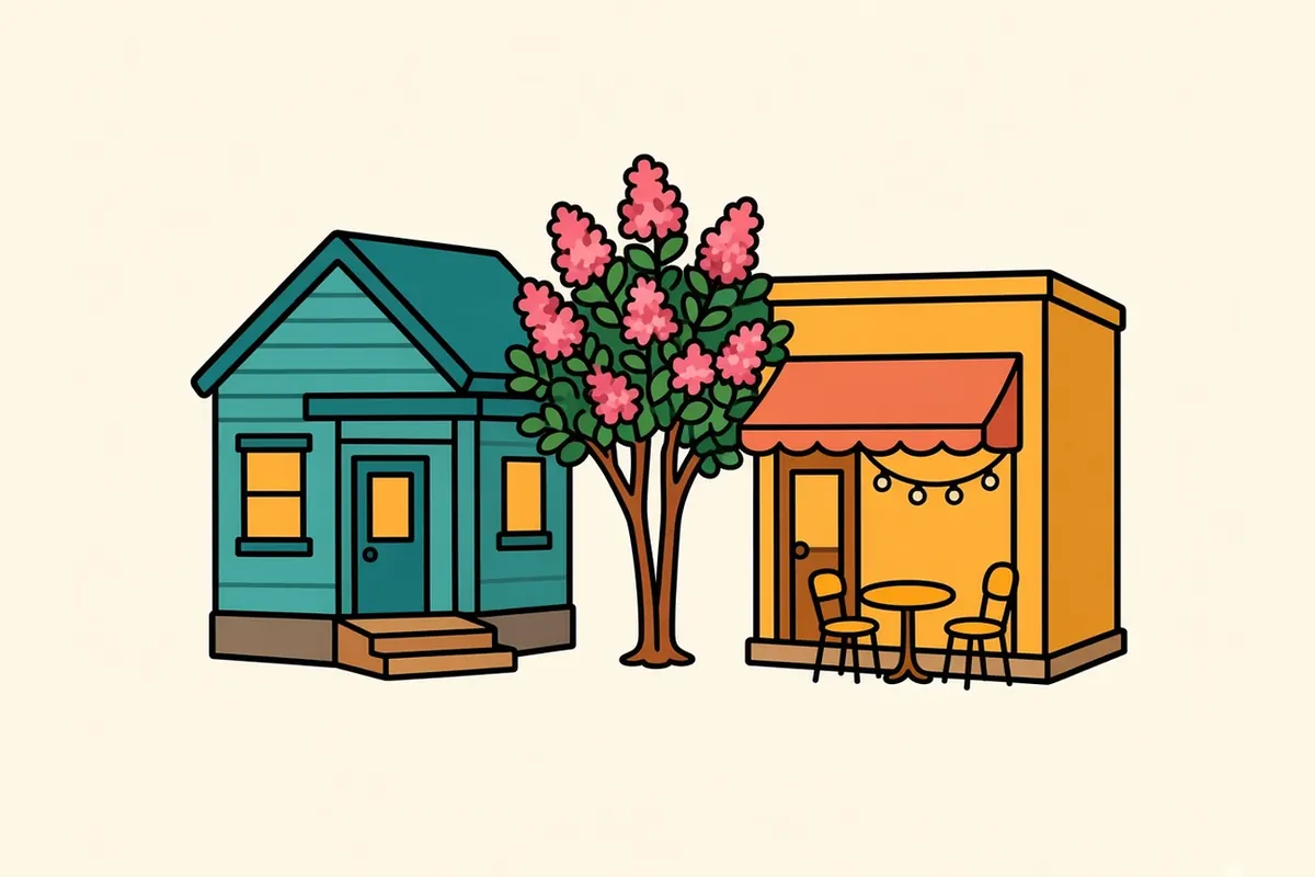
Across the tracks south of the Downtown Mall, Belmont is a residential neighborhood of small houses and quiet streets with a small knot of eateries and coffee spots at its heart. It’s a short walk or drive from downtown and a good place for dinner away from the main crowds.
Woolen Mills and the Rivanna
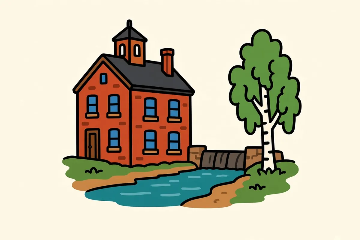
On the city’s eastern edge, Woolen Mills is a historic mill neighborhood along the Rivanna River. Nearby Riverview Park sits on the river, and the Rivanna Trail, a footpath around the city, links the two. It’s a quiet, shaded walk, with the river beside you and the city out of sight. Older mill buildings and small houses still line the streets near the water, and the neighborhood feels a world away from the busy mall only a couple of miles west. Wear shoes that can handle mud after rain.
Monticello

A few miles southeast of downtown, about 5 miles by road, Monticello is a historic house and plantation on a mountaintop. It’s ticketed: house tours of set lengths are sold online, and a separate grounds ticket covers the mountaintop and exhibits but not the house. Check the official site for the tours running the week you go, and book ahead in busy seasons.
Crozet

About 15 to 20 miles west, the small town of Crozet sits where the Blue Ridge begins to rise, with orchards, farmland and wine country around it. It’s a natural stop on the way to Rockfish Gap and a quieter base for the south end of the park. The drive out on US-250 or I-64 shows the change in the land as the rolling Piedmont gives way to the first steep slopes of the ridge.
Every one of these is within half an hour of the Downtown Mall.
Rockfish Gap and the park, 24 miles west
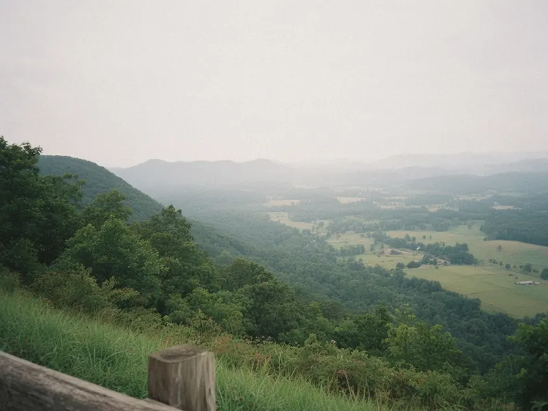
Those mountains at the end of the cross street are the Blue Ridge, and the park road starts on top of them. I-64 climbs west for about 24 miles, 25 to 30 minutes, to the park’s southern entrance at Rockfish Gap. From there, Skyline Drive, the one road through Shenandoah, heads north along the ridgetop. Storms can close it at any season, and many of the park’s services are seasonal.
The Shenandoah National Park page covers the districts, the seasons and weather closures, the Old Rag ticket and how passes work. Planning several parks this year? Read the America the Beautiful pass breakdown.
That blue line from the mall turns out to be a half-hour drive, and the park unrolls north from the top.
Living between the Piedmont and the Blue Ridge

The university and its hospital are the city’s biggest employers, with research and teaching at the core. A regional health system, professional services, wine and tourism, plus more and more remote workers, fill out much of the rest.
Homes cost more than in most Virginia cities this size, pushed up by the university and by people moving in from bigger metros. That cost sits next to a downtown made for walking, a historic university landscape, the Blue Ridge within an easy day trip and a train station a short walk from downtown.
Charlottesville faces the mountains every day without ever quite climbing into them.
Charlottesville, without the car at first
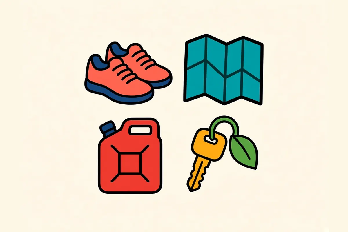
- Walk first: The Downtown Mall and the university edge make an easy, car-light first afternoon.
- Give the park its own time: It’s close, but plan a half day or full day, and see the Shenandoah page for whether Skyline Drive is open.
- Expect fall traffic on I-64 west: Weekend backups happen on the hop to Rockfish Gap.
- Fill the tank in town: Do it before Skyline Drive; fuel on the ridge is limited.
- Come in fall: October and November are strong months in town and on the Drive; start early.
- Wander the vineyard country: The rolling country around town is full of vineyards; pick a quiet one and take your time.
- Book Monticello ahead: House tours are timed and sold online.
- Save the park details for the park page: Skyline Drive, districts, seasons, weather closures and the Old Rag ticket are all covered there.
On the Blue Ridge and Smokies route
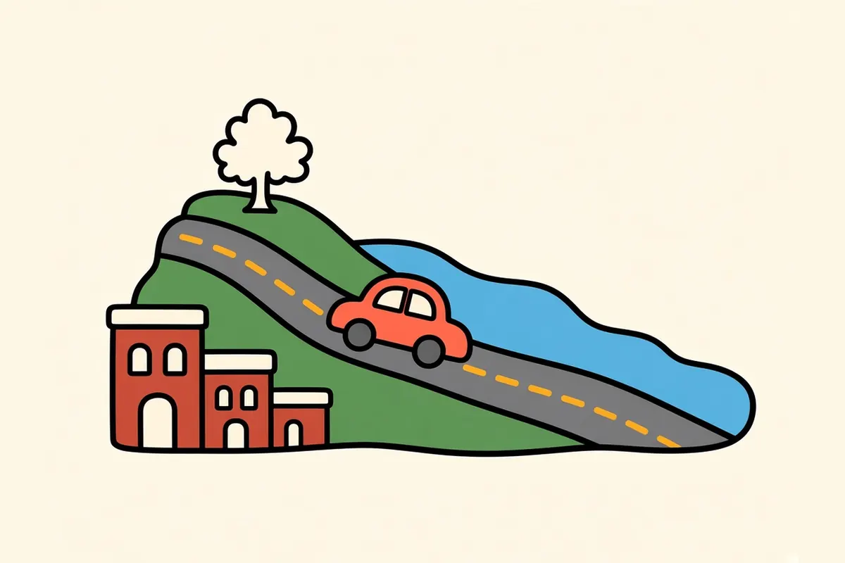
Blue Ridge and Smokies route: Knoxville to Shenandoah National Park. Previous: Roanoke, about 120 to 121 miles, roughly 2 hours to 2 hours 20 minutes. Next: Shenandoah National Park, about 24 miles west on I-64 to the south entrance at Rockfish Gap, roughly 25 to 30 minutes.
Pair it with:
- Shenandoah National Park: Skyline Drive along the ridge, starting about half an hour west.
- Roanoke: a valley city about two hours southwest.
- Staunton and Waynesboro: Shenandoah Valley towns just over Rockfish Gap.
A morning on the mall or a morning at the gap?
Sources
Common questions
What are the best things to do in Charlottesville on a road trip?
Spend an afternoon on the Downtown Mall, walk the university's historic Lawn and the Corner, and explore Belmont and the Woolen Mills area along the Rivanna River. Add a tour at Monticello, a few miles southeast, and a drive out to Crozet and the foothills, with Skyline Drive about half an hour west.
Is Charlottesville a good base for Shenandoah National Park?
Yes, for the park's southern end. Rockfish Gap, the south entrance, is about 24 miles west, roughly 25 to 30 minutes on I-64, and Swift Run Gap is around 31 miles away. For the north end of the park, a base near Front Royal or Luray is closer.
How far is Charlottesville from Shenandoah National Park and Skyline Drive?
About 24 miles to Rockfish Gap, where Skyline Drive begins at the park's south entrance, roughly 25 to 30 minutes on I-64. The Shenandoah National Park page covers seasons, weather closures and passes.
How do you get to Charlottesville by air, car or train?
Charlottesville-Albemarle Airport (CHO) is about 9 to 10 miles north of downtown. I-64 runs east to west and US-29 north to south. Amtrak's Northeast Regional, Cardinal and Crescent serve the Charlottesville station on West Main Street, between downtown and the university; check Amtrak for current schedules.
How far is Charlottesville from Roanoke, Richmond and Washington, DC?
Roanoke is about 120 miles, roughly 2 hours to 2 hours 20 minutes. Richmond is about 70 miles, roughly 1 hour 10 minutes to 1 hour 25 minutes. Washington, DC, is about 116 miles, roughly 2 hours 10 minutes to 2 hours 40 minutes.
What is the cost of living like in Charlottesville, and what are the main jobs?
Homes cost more than in most Virginia cities of its size, pushed up by the university and by people moving in from bigger metros. The university and its hospital, research and teaching, a regional health system, professional services, wine and tourism, and remote work make up much of the job picture.
More city guides
- Albuquerque
- Austin
- El Paso
- Flagstaff
- Glacier National Park
- Great Smoky Mountains National Park
- Houston
- Las Vegas
- Los Angeles
- San Antonio
- San Diego
- Santa Fe
- Shenandoah National Park
- Asheville
- Boone
- Bozeman
- Denver
- Glenwood Springs
- Jackson
- Knoxville
- Missoula
- Moab
- Roanoke
- Salt Lake City
- West Yellowstone
- Whitefish