02 City Guides National park
Great Smoky Mountains Road Trip: A First-Visit Plan
Last updated:
Summary
A Great Smoky Mountains road trip can cross from the Tennessee coves over Newfound Gap into North Carolina in one drive, or settle in and go deeper on one side. This guide runs from cove to gap to the far side, with the side trips that make the through road worth slowing down for. Entry is free, but you need a parking tag to park longer than 15 minutes, America the Beautiful passes don't cover it, and Kuwohi Road is open only part of the year.
The smoke isn’t smoke.
You’re standing at Newfound Gap at midday, on the line where Tennessee ends and North Carolina begins, and the road you came up on keeps going. It drops over the far side in long switchbacks and disappears into the trees. Cars pull in and out of the overlook. A wind rises out of the south, carrying the smell of wet leaves.
Below you, the ridges fold away in every direction, the near ones dark green, the far ones paler and bluer until they melt into the sky. A soft haze lies in the low places between them, the color of woodsmoke, drifting up out of the valleys.
Nothing is burning. No fire tower is calling it in.
So what is that blue haze hanging over everything, and why does the whole range carry its name?
Quick plan
- How long
- Plan on two or three days the first time, longer if both sides, Cades Cove and Kuwohi are all on your list.
- Best months
- Late April to May, and mid-September to October; summer works if you start early.
- Getting in
- TYS for the Tennessee side, AVL for the North Carolina side; US-441 through the park. I-40 is faster but still under reconstruction in the Pigeon River Gorge.
- Parking tag
- $5 a day, $15 a week, $40 a year; an America the Beautiful pass won’t stand in for one.
- Kuwohi Road
- April 1 to November 29 in 2026, weather permitting; confirm the dates for your travel year.
A Great Smoky Mountains road trip, from cove to gap
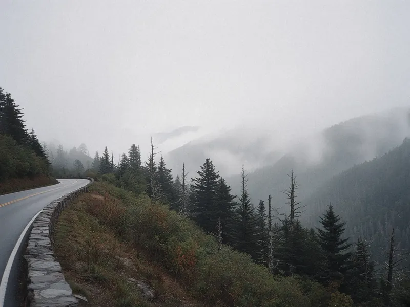
The park is easier to plan once you see its shape. One main road, US-441, known inside the park as Newfound Gap Road, runs straight through it from Gatlinburg on the Tennessee side to Cherokee on the North Carolina side. You can cross in a single drive. But most of the places worth your time aren’t on that road. Cades Cove, Roaring Fork, Kuwohi and Cataloochee are all side trips off the spine, and the highest of them is open only part of the year.
So the smart order runs like this: choose the side roads first, then let the through road link them.
One way to divide the days:
- One day: one side of the park, then the climb to Newfound Gap, turning around there or carrying on down the far side.
- Two days: add Cades Cove on the Tennessee side.
- Three days: add Kuwohi when its road is open, or the North Carolina side around Oconaluftee.
That blue haze from the gap is the park’s own doing. Official park pages explain that heavy rain and dense forest produce a misty, smoke-like haze, and the trees themselves give off water vapor and natural compounds that form fine particles, which scatter the blue part of sunlight. The park’s FAQ says the Cherokee name for these mountains, “Shaconage,” translates to “land of blue smoke.” A flat, whitish haze is something else: the park’s air-quality pages say that’s mostly pollution blown in from outside, and it washes the views out.
Blue means the forest is breathing; white means look again tomorrow.
Getting there

By air: On the Tennessee side, the nearest large airport is McGhee Tyson (TYS), in Alcoa, south of Knoxville. It’s about 14 to 15 miles from downtown Knoxville, and downtown is about 45 miles from Sugarlands. Asheville Regional Airport (AVL) serves the North Carolina side; it sits south of Asheville, roughly 15 to 17 miles from downtown, and Asheville is about 54 miles from Oconaluftee. Check what’s flying from your city; routes change with the season.
By road: Newfound Gap Road (US-441) is the through road between Gatlinburg and Cherokee. Little River Road branches west from the Sugarlands area toward Townsend and Cades Cove. North of the park, I-40 links Knoxville and Asheville by way of the Pigeon River Gorge, where construction can reduce lanes. Sections close seasonally and for repairs; check DriveNC first. The Blue Ridge Parkway ends near the US-441 junction on the North Carolina side, and that southern end often closes for weather. Check the Parkway’s road-status page before you plan on driving from one park straight into the other.
Drive times (all approximate):
- Knoxville to Sugarlands: about 45 miles, roughly 50 minutes to 1 hour 5 minutes.
- Asheville to Oconaluftee: about 54 miles, roughly 1 hour to 1 hour 20 minutes.
- Knoxville to Asheville through the park: about 125 to 127 miles, roughly 2 hours 35 minutes to 3 hours 25 minutes.
The side you arrive on decides which cove you see first.
The park, from the coves over the gap
Sugarlands and the Tennessee entrance
Coming in from Gatlinburg, the town ends and the forest begins almost at once. Sugarlands Visitor Center, just inside the park, is where Newfound Gap Road begins its climb and Little River Road heads west. It’s the place to pick up a map, check the day’s road conditions and buy a parking tag if you don’t have one yet.
Cades Cove
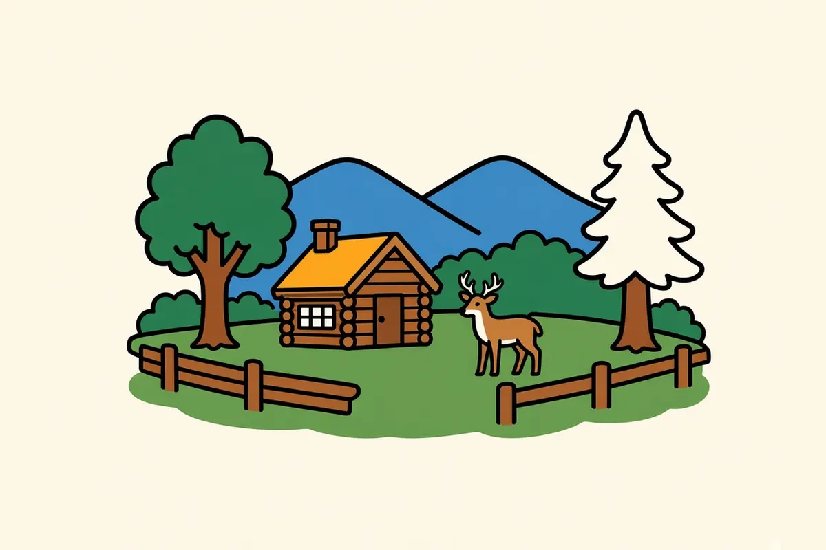
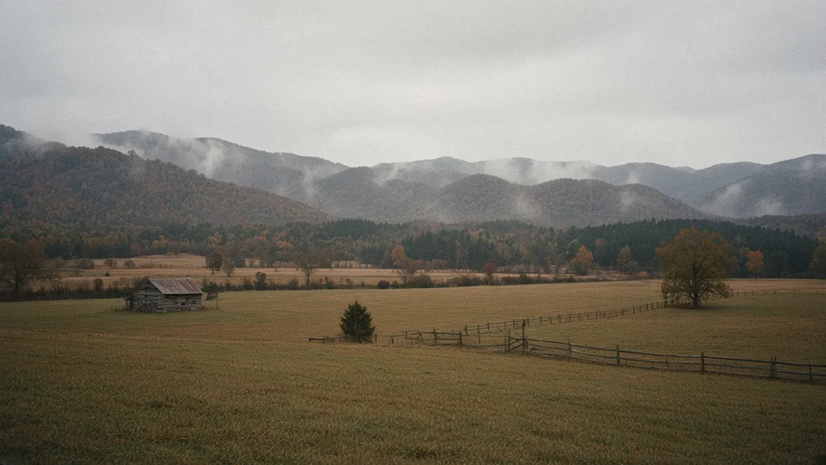
West along Little River Road and past Townsend, Cades Cove opens out as a broad, flat valley ringed by mountains, with open fields, old churches and log cabins along a one-way loop road. The loop is open from sunrise to sunset. Each Wednesday, typically from May through September, it’s closed to cars and left to people walking and cycling. Traffic on the loop moves slowly when wildlife shows up, so give it a long morning.
Newfound Gap Road

The through road climbs from Sugarlands through hardwood forest into spruce and fir near the top, then crosses Newfound Gap on the state line and descends to Oconaluftee. Overlooks along the way open onto the ridges. At the gap itself, the parking area straddles two states, and under a clear sky you can trace the road with your eyes as it winds down into North Carolina. It’s a pass rather than a destination, and the views from it are the point.
Kuwohi
Kuwohi, formerly Clingmans Dome, is reached by Kuwohi Road, a paved two-lane spur that branches off Newfound Gap Road near the gap and runs out to the Kuwohi Visitor Center and Overlook. The road is seasonal: in 2026 it opened April 1 and was scheduled to close November 29, and it can close sooner in fog, snow or ice. Parking fills early on busy days. Have a lower-elevation plan ready in case the road is closed or the top is lost in cloud.
Oconaluftee and the North Carolina side
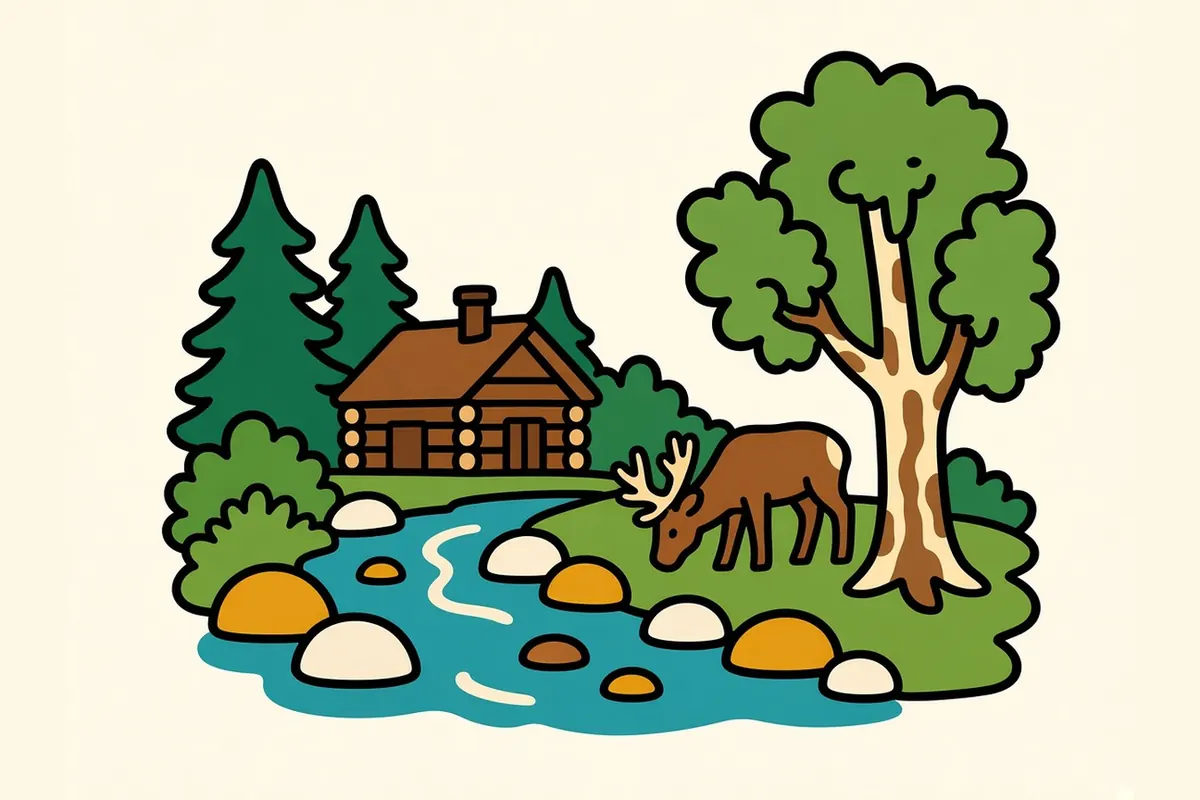
Where the descent levels out, Oconaluftee Visitor Center sits beside the river just north of Cherokee. It’s the main stop on the North Carolina side, the place to buy a tag and check conditions before the climb. The Blue Ridge Parkway’s southern end meets US-441 nearby, but don’t count on driving onto it: that stretch is often weather-closed, so check the Parkway’s road-status page first.
Roaring Fork
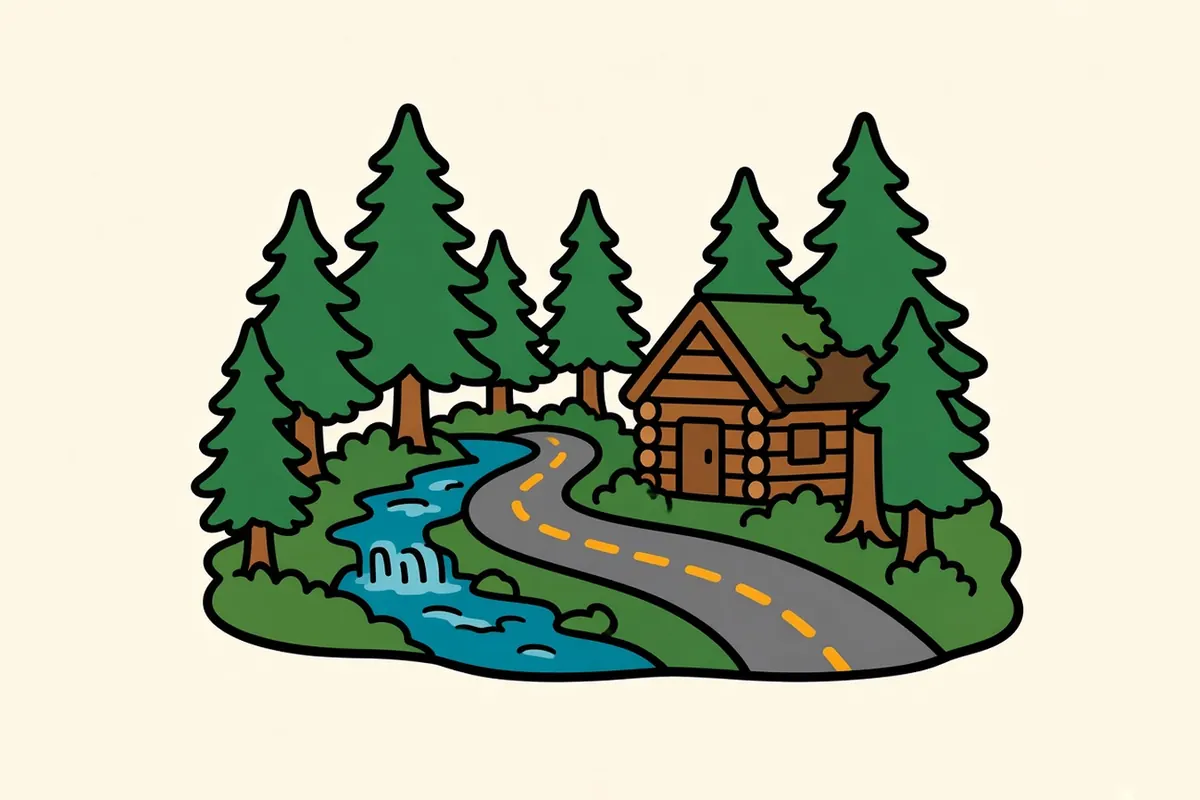
Just outside Gatlinburg, the Roaring Fork Motor Nature Trail winds through old forest, past rushing streams and old log buildings. It’s one-way and very steep, and motorhomes, buses and vans over 25 feet, plus vehicles towing trailers, aren’t allowed. In 2026 it was scheduled to open April 17 and close November 29.
Cataloochee and the eastern side
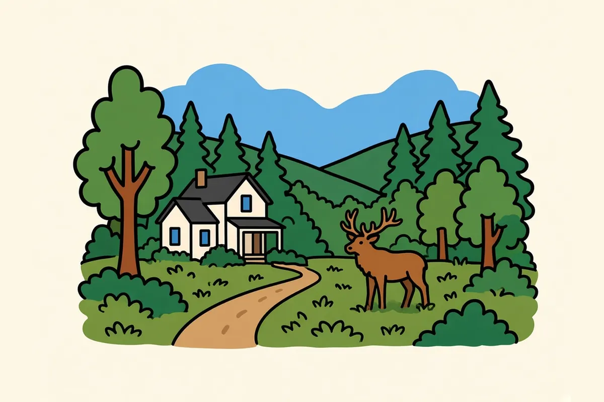
Cataloochee is a remote valley on the park’s eastern edge, reached by a two-lane gravel road the park keeps open year-round, weather permitting. It feels far from the busier western half. Hurricane Helene hit this end hardest: several trails here and in the Big Creek area are closed or carry cautions, and the park says staff are still assessing conditions on the eastern end. Check the park’s current cautions page and stay off closed trails.
The through road ties it all together, but the best of the park waits just off to the side.
Seasons, the parking tag and this year’s roads

Newfound Gap Road, Little River Road and the Cades Cove Loop are open year-round, weather permitting. Winter snow or ice sometimes shuts the high road for a spell, and Kuwohi Road closes for the season. Secondary roads open and close on a seasonal schedule. In 2026, Kuwohi Road was scheduled from April 1 to November 29, and Roaring Fork from April 17 to November 29. The 2027 schedule wasn’t up yet when this was checked in mid-November 2026.
Entry to the park is free, but parking isn’t. Any vehicle parked for more than 15 minutes needs a parking tag, which comes in three lengths for every vehicle: $5 a day, $15 a week and $40 a year. Tags are sold online, at visitor centers, at welcome centers in the nearby towns and from machines in the park, and the park’s fees page has the full list. You must display a printed tag; a photo on your phone won’t do. A tag doesn’t guarantee a space. America the Beautiful passes, including the Senior, Access and Military passes, aren’t accepted in place of a tag. If you’re weighing a pass for other parks you’ll visit, see how far an America the Beautiful pass goes.
Hurricane Helene’s damage is real but local. The park says most trails are open, and closures and cautions are concentrated on the eastern side, especially around Cataloochee and Big Creek. Separately, Laurel Falls Trail is closed for rehabilitation, and the park anticipates reopening it sometime in 2027. Pick a different waterfall from the park’s list for now.
The rules here are simple once you know them; the roads just need checking each season.
Towns on both sides, and when to come
On the Tennessee side, Knoxville is the full-city base, about 45 miles from Sugarlands, with the airport and the most choice of places to stay; the Knoxville page covers the city. Gatlinburg sits right at the Sugarlands entrance, and Townsend is the quieter town closer to Cades Cove. On the North Carolina side, Cherokee is at the Oconaluftee entrance, and Asheville, about 54 miles away, is the big-city base for that side, covered on the Asheville page.
Wildflower season in spring and the turning leaves of fall draw the biggest crowds, and for good reason. Summer is busy and humid in the coves and cooler at the gap. In winter, Newfound Gap Road stays open when the weather allows, but Kuwohi Road is closed. I’d point a first visit at late April through May or mid-September through October, and I’d do the busiest places on a weekday, because fall weekends get crowded.
The better first night is the one that puts you on the side you mean to walk first.
Before you park in the Smokies

- Buy the tag before you need the space: Get one online, at a visitor center or at a welcome center before you reach the trailhead.
- Your federal pass won’t help here: America the Beautiful passes don’t cover the parking tag.
- Go early: The park says the busiest stretch falls between 9 in the morning and 2 in the afternoon. Get to Cades Cove, Kuwohi and the popular trailheads before then.
- Keep a backup for Kuwohi: The road is seasonal and can close in-season for weather.
- Mind Wednesdays at Cades Cove: From about May through September, the loop is closed to cars that day. Check the current year’s schedule.
- Check the cautions page for the east: Some Helene damage remains on eastern trails, so don’t rely on an old map.
- Use US-19 or US-441 toward Asheville: The Parkway’s southern end is often closed for weather.
- Give bears room: Store food properly and keep your distance.
On the Blue Ridge and Smokies route
Blue Ridge and Smokies route: Knoxville to Shenandoah National Park. Previous: Knoxville, about 45 miles to the Sugarlands area on the west side, roughly 50 minutes to 1 hour 5 minutes. Next: Asheville, about 54 miles from Oconaluftee, roughly 1 hour to 1 hour 20 minutes.
Pair it with:
- Knoxville: the city base for the Tennessee side, about 45 miles out.
- Asheville: the big-city base for the North Carolina side, about an hour away.
- Townsend, Gatlinburg and Cherokee: smaller towns right at the park edge.
Tennessee side or North Carolina side first?
Sources
Common questions
How do you plan a Great Smoky Mountains road trip on a first visit?
Treat US-441, Newfound Gap Road, as the spine and plan side trips off it. Spend one day on one side of the park and drive up to Newfound Gap, add Cades Cove on a second day, and use a third for Kuwohi when its road is open or for the North Carolina side around Oconaluftee.
Do you need a parking tag in Great Smoky Mountains National Park, and does an America the Beautiful pass cover it?
Yes. Entry is free, but any vehicle parked in the park for more than 15 minutes needs a tag: $5 a day, $15 a week or $40 a year. America the Beautiful passes, including the Senior, Access and Military passes, aren't accepted in place of a tag. You have to display a physical tag; digital copies don't count.
When is Kuwohi Road (formerly Clingmans Dome Road) open?
In 2026 the park scheduled it from April 1 to November 29, subject to closures for snow, ice and other hazardous weather. When this was checked in mid-November 2026, no 2027 dates were posted yet, so look at the seasonal road schedule for your travel year.
Can you drive through Great Smoky Mountains National Park from Tennessee to North Carolina?
Yes. Newfound Gap Road (US-441) crosses the park between Gatlinburg, Tennessee, and Cherokee, North Carolina, and the park lists it as open year-round, weather permitting. Snow and ice can still close it for a time in winter.
How do you get to Great Smoky Mountains National Park from Knoxville or Asheville?
From Knoxville, take I-40, SR-66 and US-441 to the Sugarlands area, about 45 miles, roughly 50 minutes to 1 hour 5 minutes. From Asheville, take I-40 and US-19 toward Cherokee and Oconaluftee, about 54 miles, roughly 1 hour to 1 hour 20 minutes.
How many days do you need in Great Smoky Mountains National Park?
A first visit fits well into two or three days: one for the through road and one side of the park, one for Cades Cove, and one for Kuwohi or the North Carolina side. Add more if you want long hikes or quieter corners like Cataloochee.