Summary
Knoxville is a river city whose wilder country starts much closer than its skyline suggests. This guide works through the best things to do in Knoxville on a road trip from the Tennessee River outward: the waterfront, the downtown squares, the World's Fair grounds and the wooded trail network across the water. It also covers how to get there and the drive of under an hour to the Great Smoky Mountains.

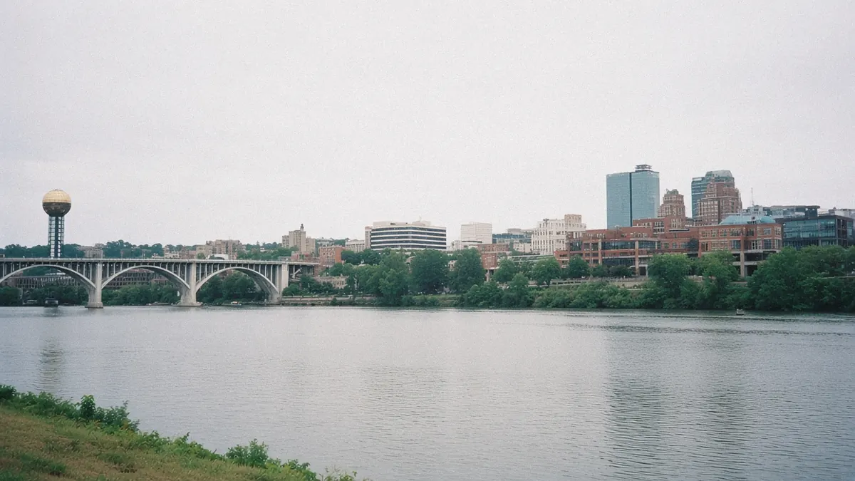
Morning sun lands on the Tennessee River and stays there, flat and wide, sliding past the downtown bluff with hardly a ripple. You walk the waterfront path with the city stacked up on your right: brick and glass, a bridge or two, a golden ball on a steel tower catching the light a little way west. A rowing shell cuts a straight line upstream. Somebody on a bench is reading with a coffee balanced on one knee.
It feels like a city morning, the river doing the slow, civic thing rivers do in the middle of towns.
Then you look past the far bank. Behind the trees on the south shore the land keeps rising, ridge after ridge going faint and blue toward the horizon.
Those aren’t distant mountains on a postcard. They’re closer than the skyline suggests, and the wilder country begins before you’ve even left the city limits.
Quick plan
- How long
- Two nights covers the city, with a third if you want an easy park day out of town.
- Best months
- April and May, then mid-September through October.
- Getting in
- TYS is about 14 to 15 miles south of downtown; I-40 and I-75 meet here.
- The park
- Sugarlands, on the Tennessee side, is about 45 miles away.
- Toward Asheville
- About 116 miles on I-40, or a longer scenic crossing through the park.
Getting there
By air: McGhee Tyson Airport (TYS) sits in Alcoa, about 14 to 15 miles south of downtown, and it doubles as the nearest big airport for the park’s Tennessee entrances. Look at what’s flying from your home city; routes shift by season.
By road: Two interstates cross here. I-40 runs west toward Nashville and east into the Pigeon River Gorge and on to Asheville. I-75 runs south toward Chattanooga and Atlanta and north toward Lexington.
Drive times (all approximate):
- Chattanooga: about 112 miles, roughly 1 hour 45 minutes to 2 hours 10 minutes.
- Nashville: about 180 miles, roughly 2 hours 50 minutes to 3 hours 20 minutes.
- Atlanta: about 202 to 214 miles, roughly 3 hours 15 minutes to 4 hours.
- Asheville: about 116 miles on I-40, roughly 1 hour 45 minutes to 2 hours 20 minutes, plus any delay in the gorge.
The gorge section of I-40 east of Knoxville can run with reduced lanes while it is rebuilt. Sections close seasonally and for repairs; check DriveNC before heading that way.
Fly in or drive in, you’ll want a car once you’re here, because the best of this city spreads across both banks.
Things to do in Knoxville on a road trip, from the river out
Knoxville makes the most sense if you start at the water and work your way uphill and outward. The river is the spine. Downtown sits on the bluff above it, with Market Square, Gay Street and the Old City in a tight, walkable grid. World’s Fair Park spills down a hollow on the west edge of downtown, and the university climbs the hills beyond it. Across the river, South Knoxville turns from neighborhood into forest faster than you’d expect.
A loose plan:
- One day: the waterfront, Market Square, Gay Street and the Old City, then the Sunsphere at golden hour.
- Two days: add a long morning in the Urban Wilderness and an evening walk in Sequoyah Hills.
- Three days: add a day trip to the Smokies.
What catches newcomers off guard is how little driving the city itself demands. Park once downtown and you can cover most of the first day on foot.
The river ties all of it together, so let it set the order.
Knoxville, along the water and through town
Tennessee River waterfront

The riverfront path runs along the downtown edge below the bluff, with benches, lawns and views across to the wooded south shore. Bridges link the two banks, and walking one of them is the quickest way to see how the city hangs above the water. Early morning and late afternoon are the gentlest times, when the light runs low along the river and the air hasn’t gone heavy yet.
Market Square and downtown
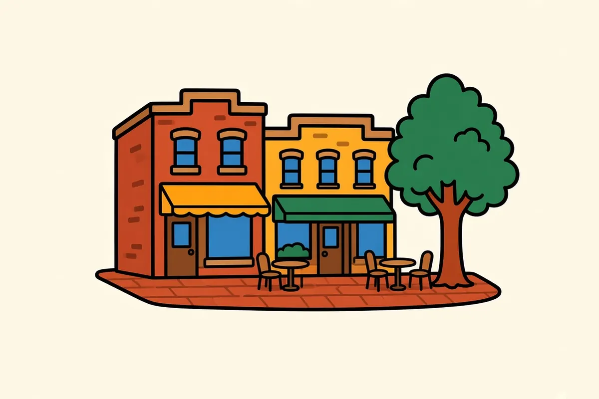
Market Square is the city’s outdoor living room: a brick-paved pedestrian square lined with low historic buildings and café tables spilling out under the trees. A short walk east puts you on Gay Street, the main downtown spine, with restored storefronts, theaters and a long view down to the river. In good weather the square fills up by early evening, and on warm nights the whole downtown core stays on foot.
The Old City
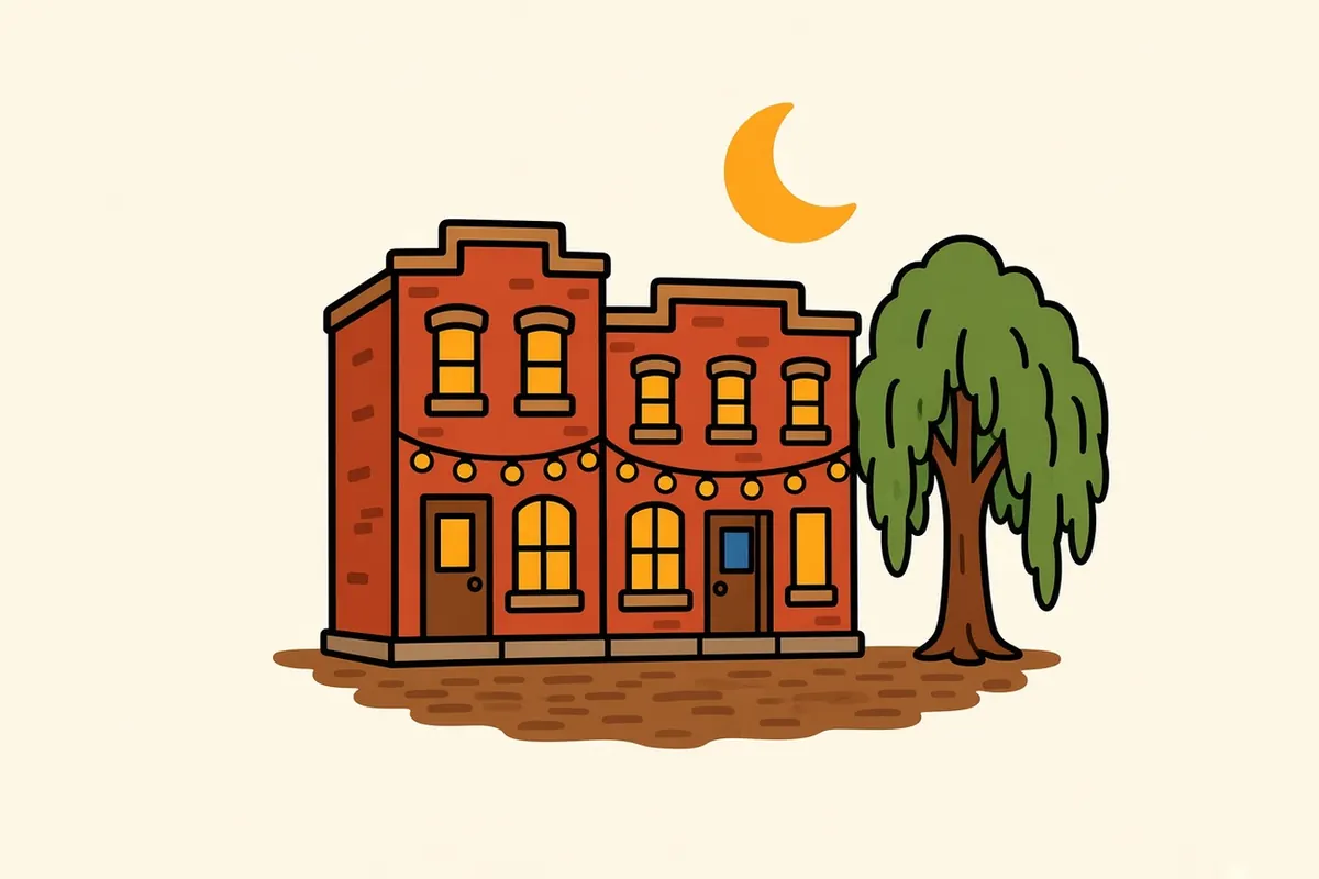
At the north end of Gay Street, the Old City is a few blocks of warehouses and brick commercial buildings that now hold bars, restaurants and small shops. The streets are uneven, the buildings are older and rougher than those around the square, and the mood leans later in the day. Come after dark for the full effect.
World’s Fair Park and the Sunsphere

World’s Fair Park fills a green hollow on downtown’s western edge, with open lawns and paths running toward the university side of town. It’s the site of the 1982 World’s Fair, and the Sunsphere, a 266-foot steel tower topped by a golden glass ball, was built as the fair’s signature structure. The observation deck looks out over downtown, the river, the university and, in good visibility, the Smokies. The art museum sits at the park’s edge.
South Knoxville and the Urban Wilderness
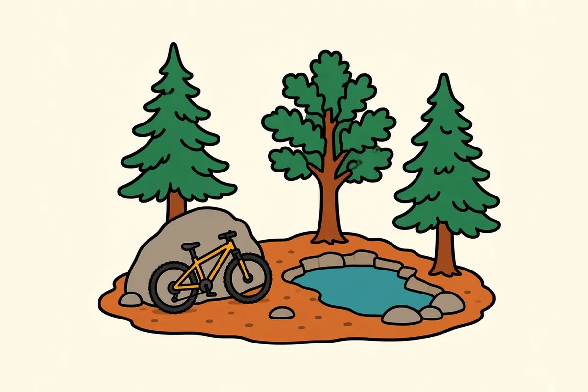
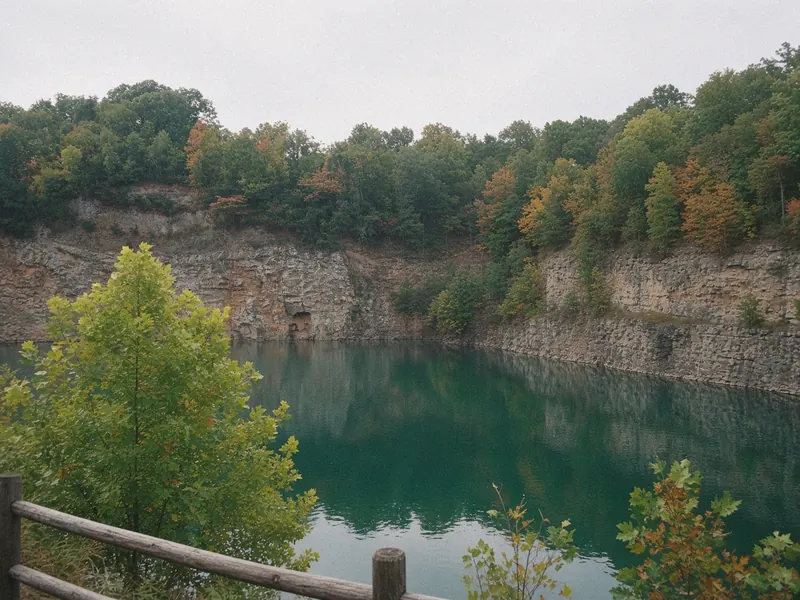
Cross the river and the city loosens into woods, quarries and ridges. Ijams Nature Center anchors the area, a 318-acre nature center with more than 14 miles of natural-surface trails, old marble quarries with water in them and a stretch of riverside greenway. It’s the heart of the Knoxville Urban Wilderness, a network that links more than 50 miles of trails and greenways to lakes, parks and historic sites. The Ijams grounds open every day from 8 a.m. until dusk, and its website lists trail closures, so it’s worth a look first.
Stand on one of the quarry rims and look south. Those blue ridges from the waterfront are right there, and you can feel the city starting to give way to them.
The University of Tennessee area

West of downtown, the University of Tennessee spreads across the hills above the river. The campus has handsome old buildings, a natural history museum and plenty of green space to wander. Fort Sanders, the neighborhood beside it, is a mix of student housing and older Victorian homes. Weekdays during the school year are the liveliest, when the paths between classes are full.
Sequoyah Hills
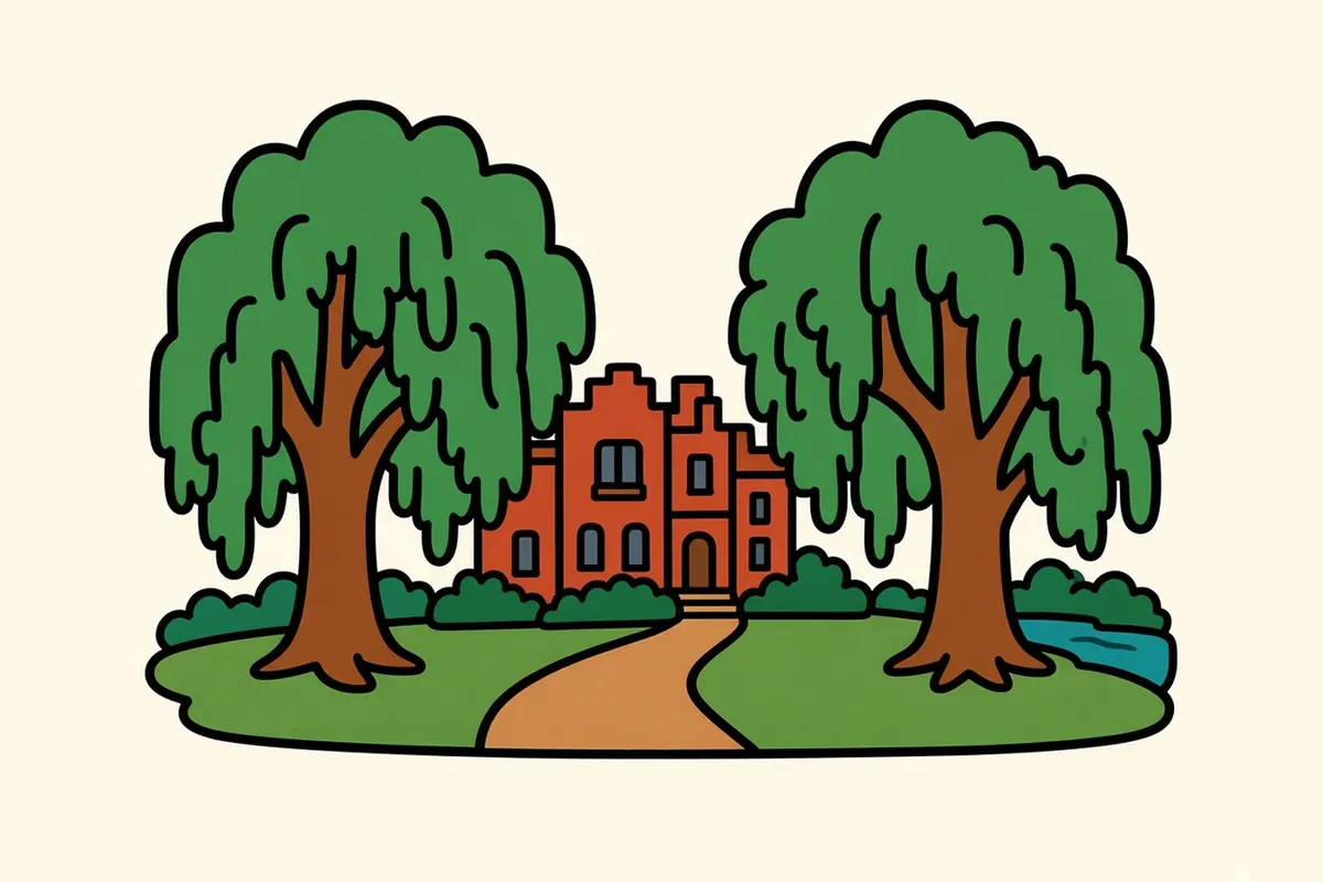
Southwest along the river, Sequoyah Hills is a leafy residential neighborhood with a riverside park at its edge. A crushed-gravel greenway runs for about 2.7 miles down the median of Cherokee Boulevard, under big trees and past large older homes, and the park has river access and paths along the water. Come here for a slow evening walk when downtown feels too busy.
Wherever you wander in Knoxville, the river is rarely more than a glance away.
The Smokies, under an hour southeast
The mountains from the waterfront are the Great Smoky Mountains, and the drive is short. Take I-40 east, then SR-66 south and US-441 through the towns at the edge of the park to Sugarlands, just inside the boundary. The drive runs about 45 miles, roughly 50 minutes to 1 hour 5 minutes, longer on fall weekends and summer holidays when US-441 slows to a crawl.
The park is at its most popular in spring, when the wildflowers bloom, and in fall, when the ridges turn. There’s no entrance charge, though leaving your car more than 15 minutes anywhere inside requires a parking tag, and federal America the Beautiful passes aren’t accepted for it. See how the America the Beautiful pass compares for the difference.
The Great Smoky Mountains National Park page has the roads, the seasons and the coves.
So the ridges you saw over the river aren’t far off at all; you can be standing among them before lunch.
Living and working along the Tennessee River

Knoxville runs on a mix of steady jobs. The University of Tennessee is a major employer, along with its medical center and research work, and health care more broadly. Manufacturing and logistics are a large part of the regional economy, helped by the meeting of two interstates. Energy and public-sector work add more stable jobs, and tourism tied to the Smokies supports many more.
Living costs are generally lower than in large coastal cities, and lower than in Asheville across the mountains. Housing has grown more expensive as people move in, but the city still feels within reach compared with many places this close to a national park.
The draw is practical: downtown streets made for walking, a river running right past downtown, a trail network across the water and serious mountains within an hour.
It’s a city that does its working week by the river and saves the weekend for the ridges.
A Knoxville day, packed light

- Buy the parking tag before the park: Daily and weekly tags are sold at visitor centers and welcome centers near the park and from machines inside it. A Knoxville retailer sells annual tags. The park’s fees page lists every location.
- Plan for humidity: Summers run hot and sticky; walk the waterfront and the trails early and save the afternoon for indoors.
- Watch US-441 traffic: Fall weekends and summer holidays slow the road into the park. Leave early or go on a weekday.
- Check DriveNC before heading east: Construction can reduce lanes through the I-40 gorge. DriveNC has the day’s conditions.
- Park once downtown: The square, Gay Street and the Old City are all an easy walk from one another.
- Pack a layer for the park: The high ridges run noticeably cooler than the city, even in summer.
- Bring trail shoes: The Urban Wilderness is close enough to fit into a city day, and the paths can be muddy after rain.
On the Blue Ridge and Smokies route
Blue Ridge and Smokies route: Knoxville to Shenandoah National Park. Next: Great Smoky Mountains National Park, about 45 miles to Sugarlands via I-40, SR-66 and US-441, roughly 50 minutes to 1 hour 5 minutes.
Pair it with:
- Great Smoky Mountains National Park: coves, a mountain pass and two states on one road.
- Asheville: a mountain city about 116 miles east on I-40, or longer through the park.
- Chattanooga: a river city about 112 miles southwest on I-75.
Start with the river, or drive out to a cove?
Sources
Common questions
What are the best things to do in Knoxville on a road trip?
Start on the Tennessee River waterfront, then walk up to Market Square, Gay Street and the Old City. Ride up the Sunsphere in World's Fair Park for the long view, spend half a day in South Knoxville's Urban Wilderness, and finish with a riverside walk in Sequoyah Hills.
Is Knoxville a good base for Great Smoky Mountains National Park?
Yes, if you want a full city around you at night. Sugarlands, on the Tennessee side of the park, is about 45 miles away. Towns at the park edge are closer, but Knoxville gives you more places to eat and stay, plus the airport.
How far is Knoxville from the Smokies?
About 45 miles to the Sugarlands area via I-40, SR-66 and US-441, roughly 50 minutes to 1 hour 5 minutes without heavy traffic. Fall weekends and summer holidays can stretch that on US-441.
How do you get to Knoxville, and how far is it from Nashville, Atlanta and Chattanooga?
Fly into McGhee Tyson Airport (TYS), about 14 to 15 miles south of downtown, or drive in on I-40 or I-75. Chattanooga is about 112 miles away, Nashville about 180 miles and Atlanta about 202 to 214 miles, depending on the route.
Is Knoxville worth visiting in fall or winter?
Fall is one of the best times, with mild days and color on the ridges, though Smokies traffic builds on weekends. Winter is quieter and the city stays fully open; mountain roads in the park can close for snow or ice, so check the park's road page before driving up.
What is the cost of living like in Knoxville, and what are the main jobs?
Living costs are generally lower than in big coastal metros and in Asheville, across the mountains. The university and its research work, hospitals and health care, manufacturing and logistics, energy and public-sector work, and tourism tied to the Smokies make up much of the job picture.
More city guides
- Albuquerque
- Austin
- El Paso
- Flagstaff
- Glacier National Park
- Great Smoky Mountains National Park
- Houston
- Las Vegas
- Los Angeles
- San Antonio
- San Diego
- Santa Fe
- Shenandoah National Park
- Asheville
- Boone
- Bozeman
- Charlottesville
- Denver
- Glenwood Springs
- Jackson
- Missoula
- Moab
- Roanoke
- Salt Lake City
- West Yellowstone
- Whitefish