Summary
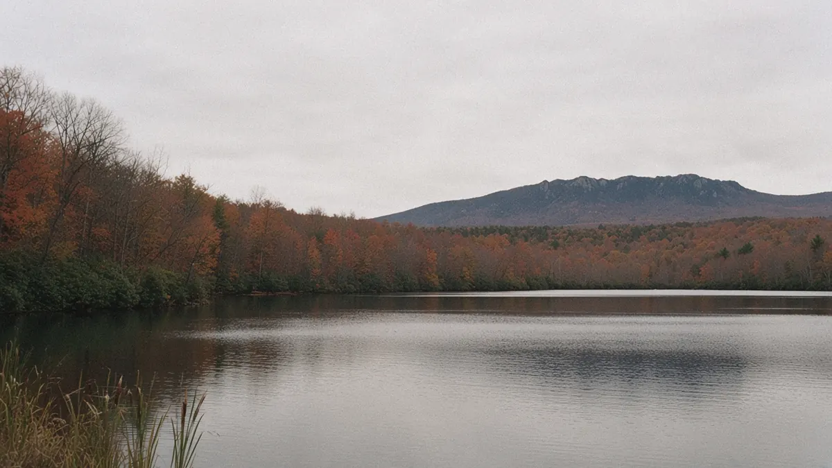
Boone sits up in the North Carolina High Country, a college town built on the crest instead of down in a valley, with Blowing Rock and the Blue Ridge Parkway only a few miles off. This guide to things to do in Boone, NC on a road trip starts in town, moves to a neighboring village and then climbs to the crest road. Summer and fall are the Parkway seasons when the road is open, while winter belongs to the town, because the Parkway often gates in bad weather.
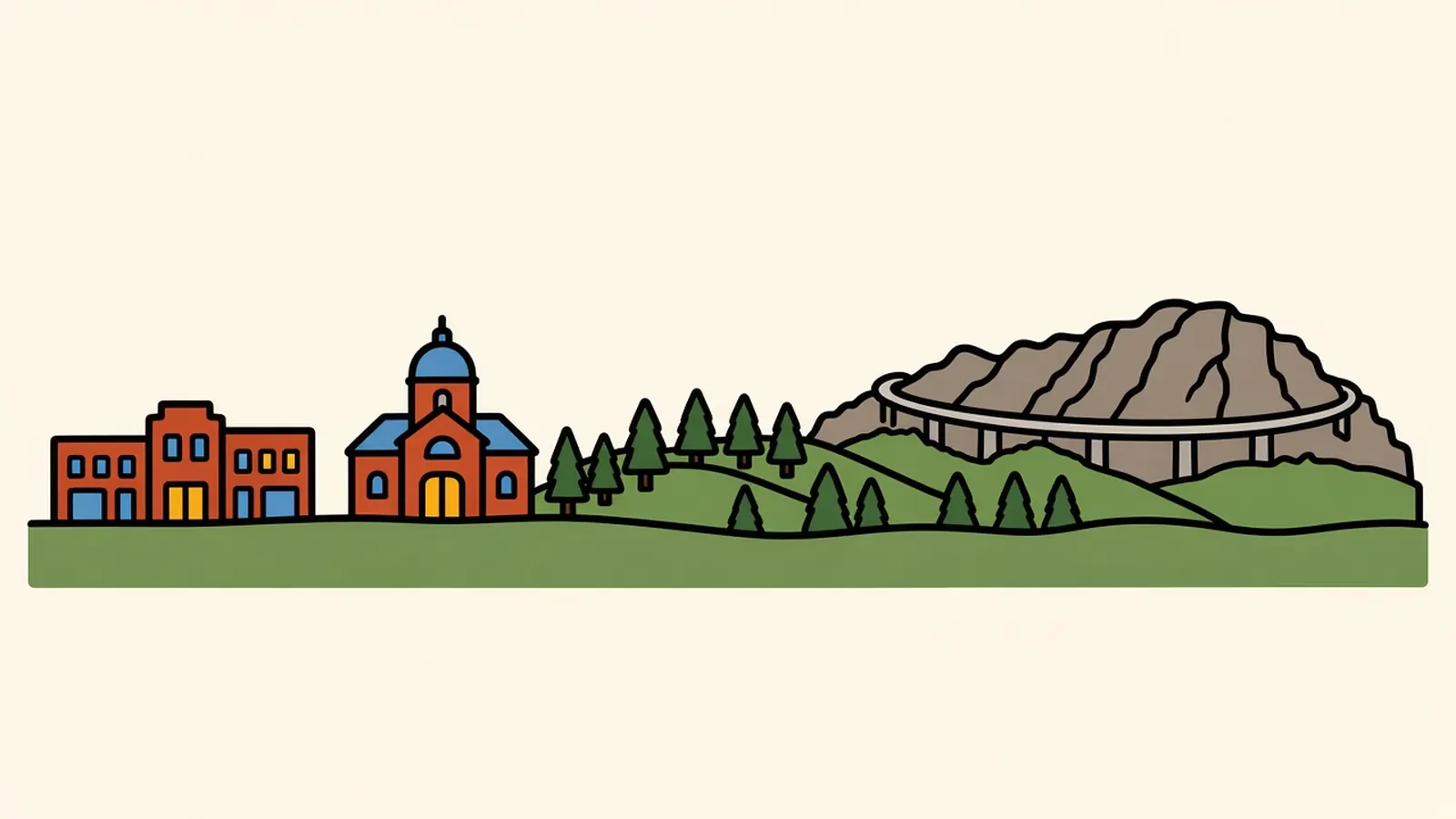
Up here the towns sit on the crest, not down in a valley.
You feel it the moment you step out onto King Street. The wind comes straight down the sidewalk, cool even at midday, and it carries the smell of wood smoke from somewhere up the hill. Students cross between brick storefronts with their hoods up. A shop door bangs in a gust and swings shut again.
A couple of blocks on, the town gives out. Beyond the final buildings the land drops away, and beyond it there’s no valley floor at all, just more ridges, dark with spruce and bare hardwoods, rolling off toward the horizon at roughly the height you’re standing.
So why does everyone call this the High Country, and why does the most famous road around here curve around a mountain instead of going straight through it?
Quick plan
- How long
- A pair of nights covers the town; add one more for a long Parkway day.
- Best months
- Late spring into early summer, then September and October; winter suits the town and the slopes.
- Getting in
- Drive from AVL or the Charlotte area; US-321, US-421 and NC-105 bring you into town.
- The Parkway
- Free to drive. Sections close seasonally and for repairs; check the road-status page first.
- Toward Roanoke
- About 167 to 171 miles, roughly 3 hours by highway.
Getting there
By air: Boone has no airline service of its own. Asheville Regional (AVL) is about 85 to 86 miles away, roughly 1 hour 35 minutes to 2 hours 5 minutes. Charlotte is about 100 to 102 miles, roughly 1 hour 50 minutes to 2 hours 20 minutes, and the Greensboro and Winston-Salem area is another option to the east.
By road: US-321 and US-421 are the main highways in, with NC-105 running southwest toward Banner Elk and Linville, and US-221 linking Blowing Rock to the Grandfather Mountain area. The Blue Ridge Parkway skirts Boone’s southern edge at Blowing Rock. When the Parkway’s high sections are gated, US-221 and US-321 are the roads that keep you moving.
Drive times (all approximate):
- Asheville: about 85 to 86 miles, roughly 1 hour 35 minutes to 2 hours 5 minutes.
- Charlotte: about 100 to 102 miles, roughly 1 hour 50 minutes to 2 hours 20 minutes.
- Johnson City, TN: about 54 to 55 miles, roughly 1 hour 10 minutes to 1 hour 30 minutes.
- Roanoke: about 167 to 171 miles, roughly 2 hours 50 minutes to 3 hours 35 minutes.
Whichever road brings you up, the last miles climb, and your ears will tell you so.
Things to do in Boone, NC on a road trip, up on the crest
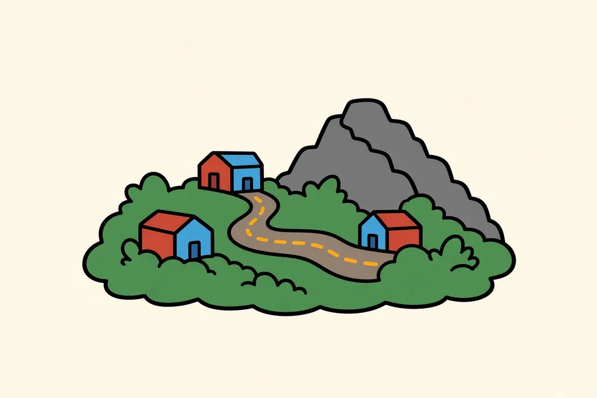
The High Country isn’t a single town but a cluster of them, each perched on the uplands of the Blue Ridge. Boone is the hub, with the university and the busiest main street. Blowing Rock, about 8 miles south, is smaller and right on the Parkway. Past it, the Parkway curls along the slopes of Grandfather Mountain, and farther west, small communities like Valle Crucis sit in high, folded valleys.
A loose way to use a few days:
- Day one: King Street, the university edge and an evening in Blowing Rock.
- Day two: the Parkway past the manor-house park and Price Lake to Grandfather Mountain, if it’s open.
- Day three: Valle Crucis, or the state park trails on Grandfather.
The better habit is the reverse of how most people plan: check the Parkway first thing, then build the day on whichever roads are open.
Start with the town, then climb whichever road the weather allows.
Boone and the High Country, town then crest
Downtown Boone and King Street
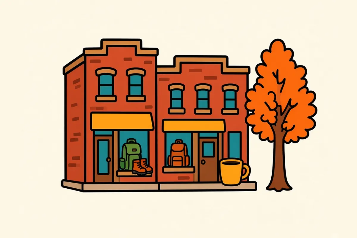
King Street is Boone’s walkable core, a few blocks of older brick buildings with cafés, outdoor shops, bookstores and places to eat. It runs along the edge of the campus, so the sidewalks stay busy through the school year. Park once and walk; the side streets climb steeply in places, and the views at the ends of them open onto the ridges.
The university edge of town
Appalachian State University wraps around downtown, and its campus spills across the hillsides with brick halls, green spaces and paths. Its presence is what keeps Boone a working town in every season rather than a resort that empties out. The quiet stretches of campus make an easy walk between downtown and the hills.
Blowing Rock
About 8 miles south, roughly 15 minutes, the town of Blowing Rock sits on the Parkway with a short, walkable main street of shops, galleries and inns. It’s smaller and more polished than Boone, with a small park at its center and big trees along the streets. Fall weekends fill it fast, so go early in the day.
Price Lake and the manor-house park
Just outside Blowing Rock, the Parkway passes a historic manor house set in a large park with carriage roads through the woods and around small lakes. A little farther on, Price Lake spreads out beside the road, a quiet mountain lake ringed with forest and a trail along the shore. Sections close seasonally and for repairs; check the road-status page before you set out.
Grandfather Mountain and the Linn Cove Viaduct
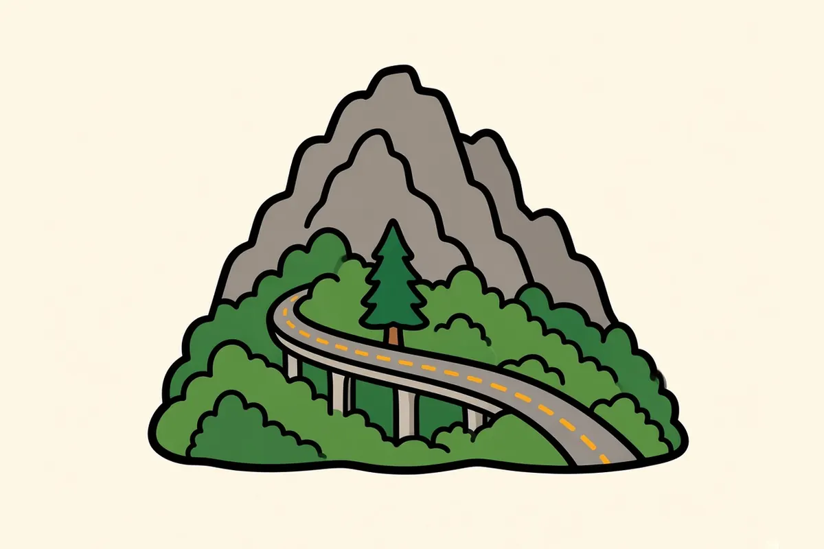
Grandfather Mountain is the high, rugged peak southwest of Boone, about 13 miles away. Part of it is Grandfather Mountain State Park, where day hiking is free with a permit you fill out at the trailhead. The rugged trails include cables and ladders on the steepest sections. The upper Profile Trail has reopened after Helene, but the lower streamside section is still closed. A separate, privately run attraction on the mountain charges admission; it isn’t part of the state park.
On the mountain’s flank, the Linn Cove Viaduct carries the Parkway around the slope on a long, curving span, so the road bends with the mountain instead of cutting into it. Up here, the road follows the shape of the peak. On that same table, the Parkway section that includes the viaduct, from Holloway Mountain Road to US-221 at Beacon Heights, was fully closed for weather, and the Linn Cove Visitor Center was temporarily closed. When that happens, US-221 is the way around to the Grandfather area.
Valle Crucis
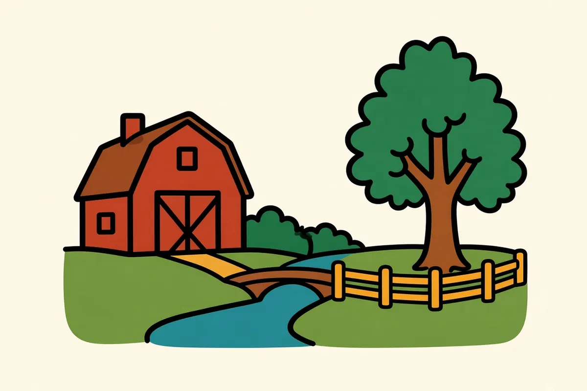
About 9 miles west of Boone, Valle Crucis is a rural community in a narrow valley, with old farm buildings, pastures and creeks running through. It’s listed on the National Register of Historic Places as a rural historic district, and it feels a step away from the busier towns on the crest. Go for a slow drive and a walk, especially in fall, when the hillsides around the valley turn.
Each of these perches a little higher or lower than the last, and the wind shifts with every one.
When the Parkway is open, and when it isn’t
The Parkway’s High Country stretch is beautiful and unpredictable. Sections close seasonally and for repairs; check current conditions before you go. That pattern is normal up here: the road is often open in one stretch and gated in the next. The road-status page is the record.
Well south of Blowing Rock, repairs can close the stretch toward Mount Mitchell. Sections close seasonally and for repairs; check the road-status page before you count on an unbroken Parkway drive between Boone and Asheville. Nearby campgrounds and picnic areas also close for repairs, so check the same page.
Driving it costs nothing; the only price is a morning look at the status table.
Winter up here, and the rest of the year
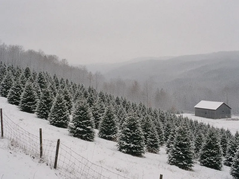
Boone is a winter town. The university keeps going, ski areas operate nearby, and downtown carries on as usual even when the Parkway is gated. Snow, ice and fog on the crest can close Parkway sections for days, so treat the state highways as your winter roads and check DriveNC for conditions before you drive.
Spring comes late and slowly at this height. Summer is the escape season, with cool nights when the lowlands are hot. Fall is the busiest time, with color on the ridges and crowds at the overlooks, especially on weekends. I’d go in late September or early October on weekdays, or in winter if you want the town without the Parkway traffic.
The seasons here arrive early and leave late, so pack for the one after the forecast.
Working in a high college town

The university is the biggest anchor, and it keeps a steady flow of work in teaching, research and campus services. Tourism and hospitality follow the seasons, from summer visitors and fall color crowds to the ski months. Health care, construction and the trades fill in much of the rest, and some people work remotely from here.
Homes are scarce and pricey for a town this size, more so in the villages around it. Against the cost: a walkable main street, the crest right outside town, a real winter and neighboring villages that each have their own character.
The town never fully empties, because the campus calendar and the ski season keep it busy in turns.
Small rules for High Country days
- Check the Parkway the morning you go: Weather gates are common at this height, even on days that look fine in the valleys.
- Lean on US-221 and US-321: They’re the reliable roads when the Parkway is gated.
- Treat winter as a season, not a shutdown: Allow extra time on the roads and check DriveNC for conditions.
- Start early on fall weekends: Blowing Rock and the overlooks fill quickly.
- Plan around the southern gap: Mileposts 344.2 to 355.3 are shut, so a through drive toward Asheville isn’t possible.
- Keep the Roanoke leg simple: It’s about three hours by highway, so don’t stack a full Parkway day onto the same transfer unless you’ve built in a night.
- Pack a real jacket: The crest is colder and windier than town, and town is already cool.
On the Blue Ridge and Smokies route
Blue Ridge and Smokies route: Knoxville to Shenandoah National Park. Previous: Asheville, about 85 to 86 miles, roughly 1 hour 35 minutes to 2 hours 5 minutes by highway. Next: Roanoke, about 167 to 171 miles, roughly 2 hours 50 minutes to 3 hours 35 minutes by highway. Either leg can follow the Parkway instead, but only when the sections in between are open.
Pair it with:
- Asheville: the big mountain city of western North Carolina, roughly 85 miles southwest.
- Roanoke: a Virginia valley city about three hours northeast.
Which comes first for you: the town street or a crest overlook?
Sources
Common questions
What are the best things to do in Boone, NC on a road trip?
Walk King Street and the edge of the university, then drive the few miles to Blowing Rock. When the Blue Ridge Parkway is open, add the stretch past the manor-house park and Price Lake, and continue to Grandfather Mountain and the Linn Cove Viaduct. Valle Crucis, a rural community just west of town, makes an easy half-day.
Is Boone, NC worth visiting?
Yes, if you like small mountain towns with real weather. Boone pairs a walkable main street with the Parkway, Blowing Rock and Grandfather Mountain within a short drive, and it stays lively in winter, when many mountain areas go quiet.
How far is Boone from Asheville, and can you drive it on the Blue Ridge Parkway?
Boone is about 85 to 86 miles from Asheville by highway, roughly 1 hour 35 minutes to 2 hours 5 minutes. A continuous Parkway drive between the two is not always possible. Sections close seasonally and for repairs; check the [road-status page](https://www.nps.gov/blri/planyourvisit/roadclosures.htm) first.
What is Boone like in winter?
Cold, often windy and sometimes snowy, but open for business. The town and the university keep going, ski areas operate nearby, and downtown stays busy. Parts of the Parkway are often gated for snow, ice or fog, so plan winter drives on the state highways and check DriveNC for road conditions.
How far is Boone from Blowing Rock and from Roanoke?
Blowing Rock is about 8 miles south, roughly 15 minutes. Roanoke, Virginia, is about 167 to 171 miles northeast, roughly 2 hours 50 minutes to 3 hours 35 minutes by highway.
What is the cost of living like in Boone, and what are the main jobs?
Homes are scarce and pricey for a town this size, and more so in the villages around it. Much of the work comes from the university, tourism and hospitality, the winter season, health care, construction and the trades, along with some remote work.
More city guides
- Albuquerque
- Austin
- El Paso
- Flagstaff
- Glacier National Park
- Great Smoky Mountains National Park
- Houston
- Las Vegas
- Los Angeles
- San Antonio
- San Diego
- Santa Fe
- Shenandoah National Park
- Asheville
- Bozeman
- Charlottesville
- Denver
- Glenwood Springs
- Jackson
- Knoxville
- Missoula
- Moab
- Roanoke
- Salt Lake City
- West Yellowstone
- Whitefish